Plizio Visual Lab
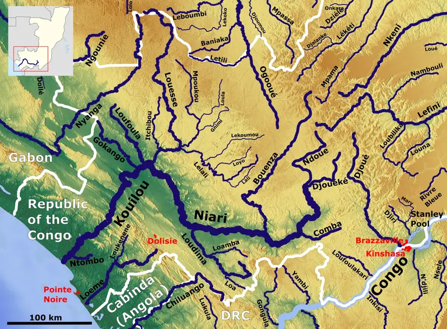
Mpoulou River

Weather…
Water temperature…
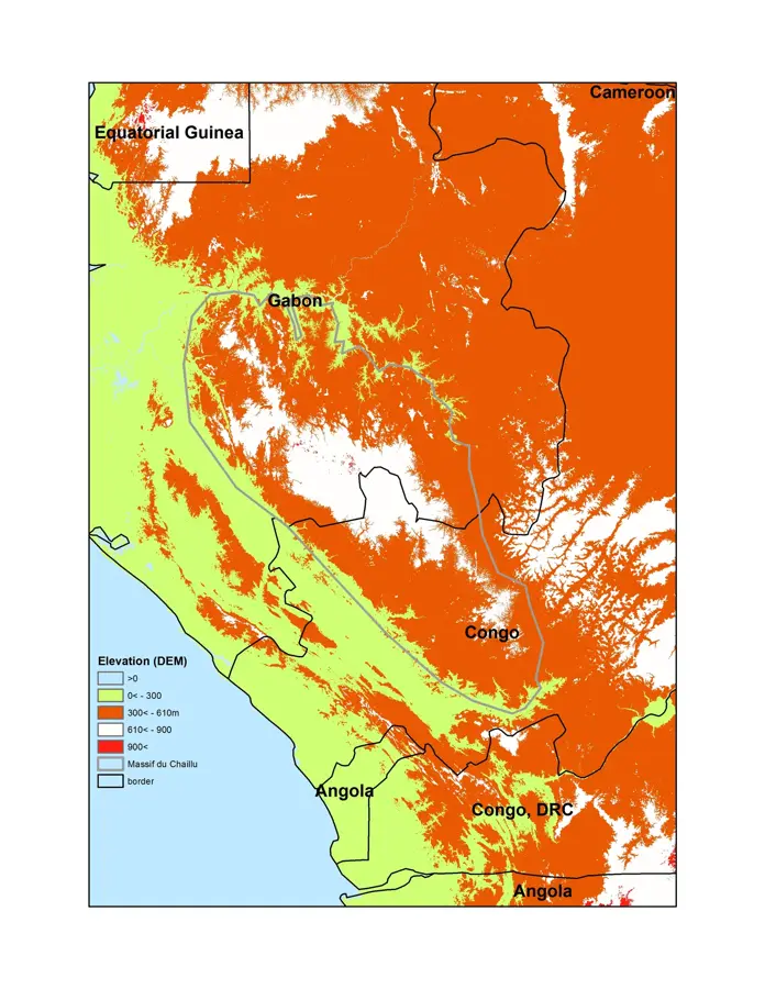
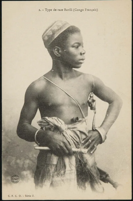
The Mpoulou River is a characteristic waterway of the Kouilou region in the southwestern Republic of the Congo, originating in the forested heights of the Mayombe Mountains. It winds through a landscape defined by dense rainforests and deep ravines, contributing to the dramatic topography of the area. As part of the larger Kouilou-Niari drainage basin, the Mpoulou plays a key role in channeling water from the mountain ridges toward the coast. The river is known for its relatively clear waters, a result of flowing over rocky beds protected by intact vegetation cover. Its banks are home to a lush variety of flora, including numerous epiphytes and ferns that thrive in the constant high humidity. For local communities, the river is a primary source of fresh water and supports small-scale artisanal fishing. Due to its remote location and the ruggedness of the surrounding terrain, the Mpoulou remains a largely pristine natural asset, embodying the ecological richness of the Congolese Mayombe forest.
- Location: Congo - Brazzaville
- Nearby: Sibiti (21 km)
Best time to visit & climate
The most pleasant time to visit is Jun–Aug.
| Jan | Feb | Mar | Apr | May | Jun | Jul | Aug | Sep | Oct | Nov | Dec | |
|---|---|---|---|---|---|---|---|---|---|---|---|---|
| Avg °C | 25 | 25 | 25 | 25 | 25 | 24 | 24 | 25 | 26 | 26 | 25 | 25 |
| Rain mm | 170 | 162 | 205 | 192 | 137 | 11 | 2 | 6 | 39 | 168 | 280 | 236 |
📋 Practical info
Geography
Facts
- The Mpoulou River originates in the high-elevation zones of the Mayombe range.
- It flows primarily through the Kouilou Department of the Republic of the Congo.
- The river is characterized by its high oxygen content due to numerous small rapids.
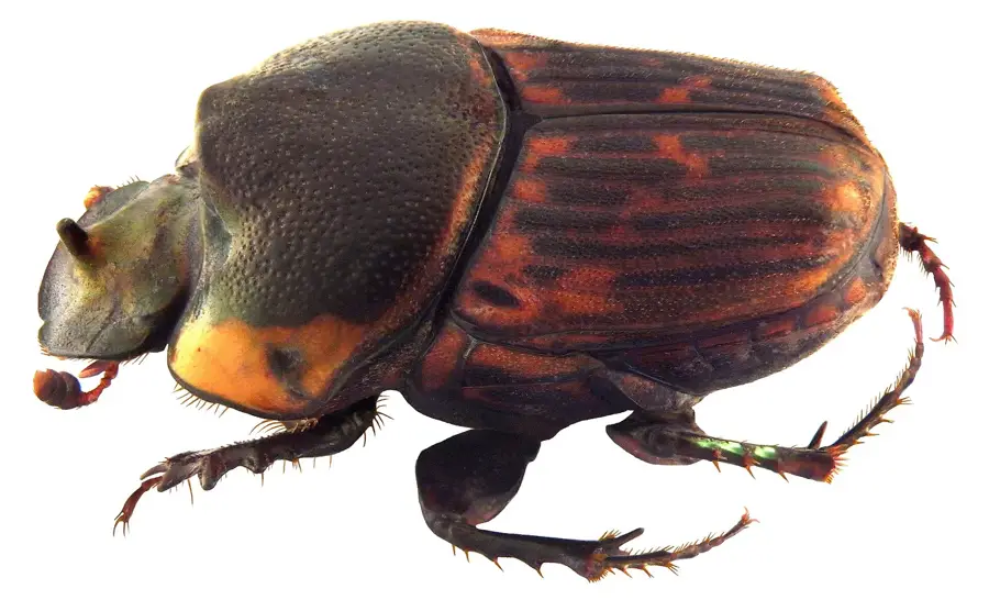
- It serves as a critical habitat for various species of Central African freshwater fish.
- The surrounding forest canopy often closes entirely over the narrower sections.
- Traditional knowledge of the river is vital for the navigation of local inhabitants.
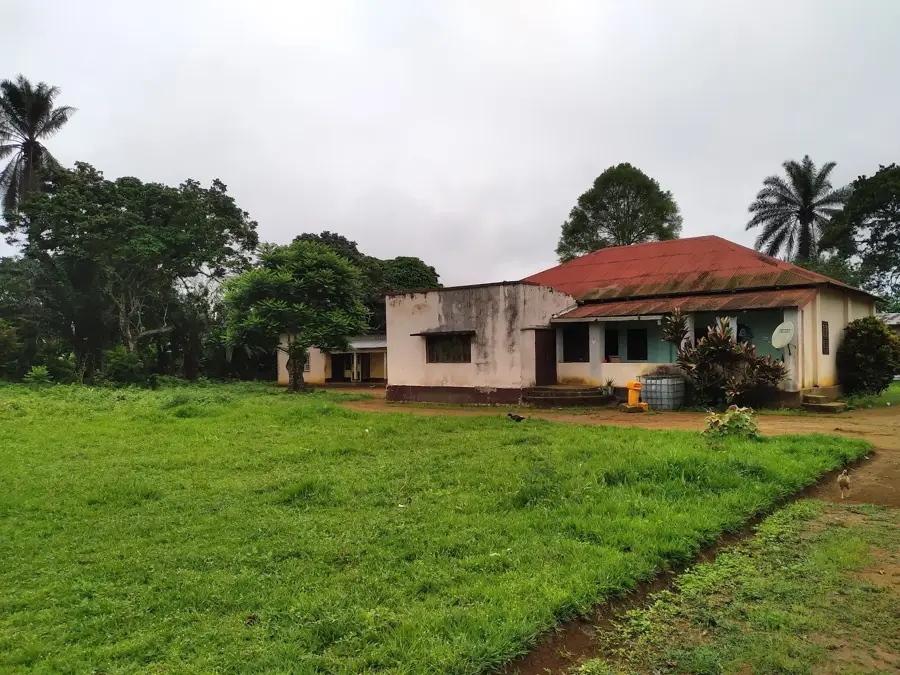
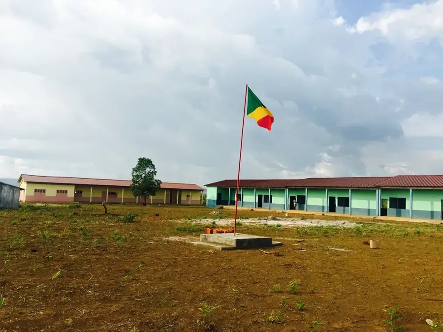
Explore nearby
Notable places around
Route planner — Car & Motorhome
Where do you start? We build the route here, with stops and country notes along the way.
© OpenStreetMap contributors · OpenRouteService
Sights nearby
Frequently asked questions
Where is the Mpoulou River located?
Is the river suitable for canoeing?
What flora can be found along the Mpoulou?
Can you fish in the river?
Are there bridges over the Mpoulou?
Mpoulou River: where is it located?
Mpoulou River: when is the best time to visit?
Mpoulou River: why is it worth visiting?

Nearby cities

More places