Plizio Visual Lab
Niari Basin
Weather…
Water temperature…
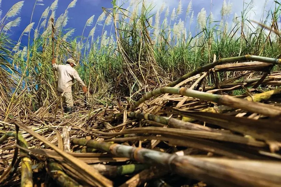
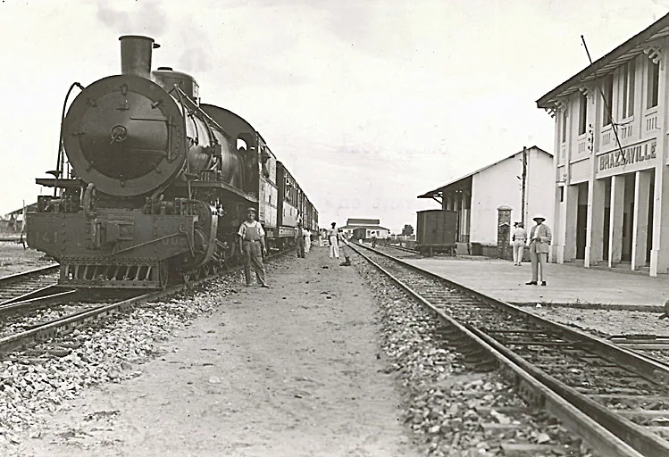
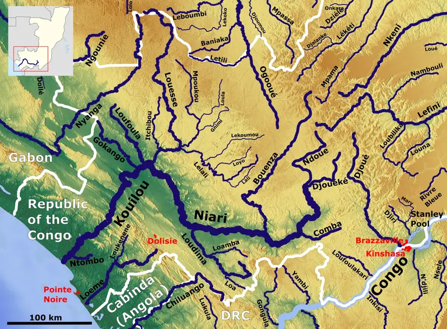
The Niari Basin is one of the most fertile and economically significant regions in the Republic of the Congo, located in the southwestern part of the country. It occupies a broad tectonic depression situated between the Mayombe Mountains to the west and the interior plateaus to the east. Drained by the Niari River, the basin is characterized by rich alluvial soils that have supported the development of the nation's most productive agricultural sector. This region is the center of Congo's sugar, banana, and peanut production, with large-scale industrial plantations dominating much of the landscape. Geomorphologically, the basin features rolling plains and open savannas interspersed with dense gallery forests along the riverbanks. The humid tropical climate, marked by a distinct dry season from June to September, facilitates specialized farming cycles. The basin is strategically served by the Congo-Ocean Railway (CFCO), which links the regional production centers to the deep-water port of Pointe-Noire. As a result, the Niari Basin remains a cornerstone of Congolese food security and industrial growth.
- Location: Congo - Brazzaville
- Nearby: Madingou (15 km)
Best time to visit & climate
The most pleasant time to visit is Jun–Aug.
| Jan | Feb | Mar | Apr | May | Jun | Jul | Aug | Sep | Oct | Nov | Dec | |
|---|---|---|---|---|---|---|---|---|---|---|---|---|
| Avg °C | 25 | 25 | 25 | 25 | 25 | 24 | 24 | 25 | 26 | 26 | 25 | 25 |
| Rain mm | 170 | 162 | 205 | 192 | 137 | 11 | 2 | 6 | 39 | 168 | 280 | 236 |
📋 Practical info
Geography
Facts
- The basin produces the majority of the Republic of the Congo's sugar exports.
- Nkayi is the largest city in the basin and its primary industrial hub.
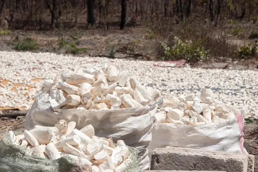
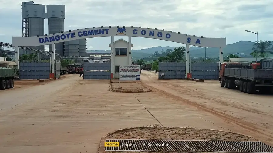
- The region contains significant limestone deposits used for cement production.
- The Niari River is known as the Kouilou River in its lower coastal reaches.
- The fertile valley is bounded to the west by the rugged Mayombe forest range.
- Annual rainfall in the basin typically averages between 1,200 and 1,500 mm.
Explore nearby
Notable places around
Route planner — Car & Motorhome
Where do you start? We build the route here, with stops and country notes along the way.
© OpenStreetMap contributors · OpenRouteService
Sights nearby
Frequently asked questions
What is the economic importance of the Niari Basin?
Which cities are located in the Niari Basin?
What is the relief in the basin like?
Can you visit caves there?
Does a large river flow through the basin?
Niari Basin: where is it located?
Niari Basin: when is the best time to visit?
Niari Basin: why is it worth visiting?

Nearby cities

More places