Plizio Visual Lab
Kayes

ℹ️Practical info — Kayes
▾
🌤 Weather — 5 days
📍 Nearby
Sights nearby
💡 Tips
- Bring cash as ATMs are rarely available in this rural town.
- The central market area is best visited early in the morning for the freshest produce.
- Transportation between villages is mostly by local bush taxis (taxi-brousse).
- Be prepared for limited internet connectivity.
- Respect local traditions and ask permission before photographing residents.
🍽 Food
Fish steamed in leaves at a local eatery near the market.
Served in family-run roadside stalls.
Fresh tropical fruits from vendors around the town center.
🛍 Shopping · 🧘 Quiet spots
Local agricultural produce at the main market.
Handmade crafts and wooden items from small roadside artisans.
The outskirts of the town where you can enjoy views of the surrounding rural landscape.
Quiet walks along the unpaved local roads just outside the center.
Water temperature…
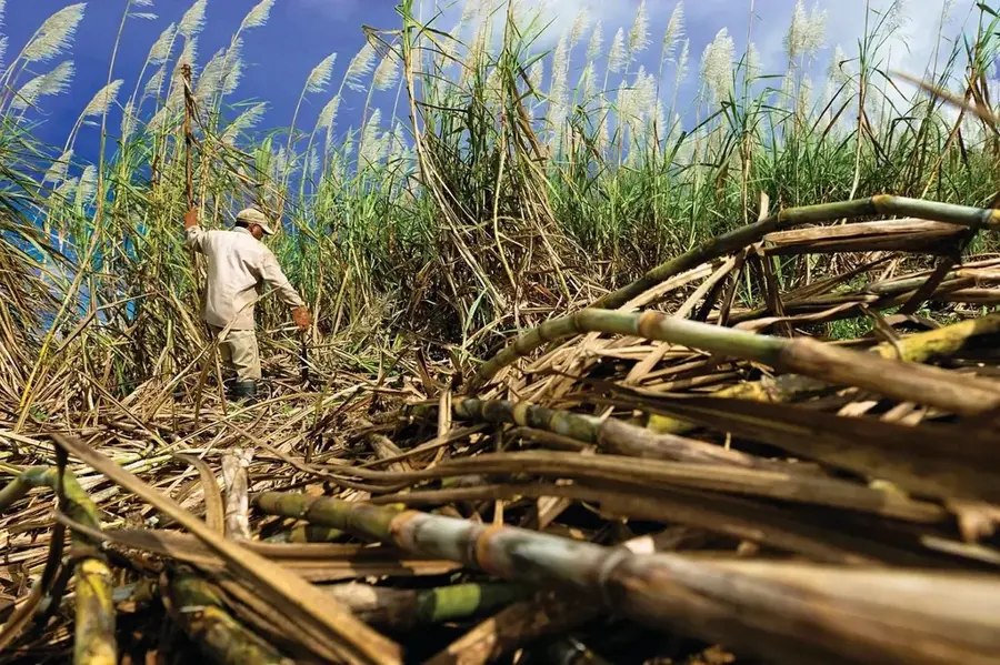
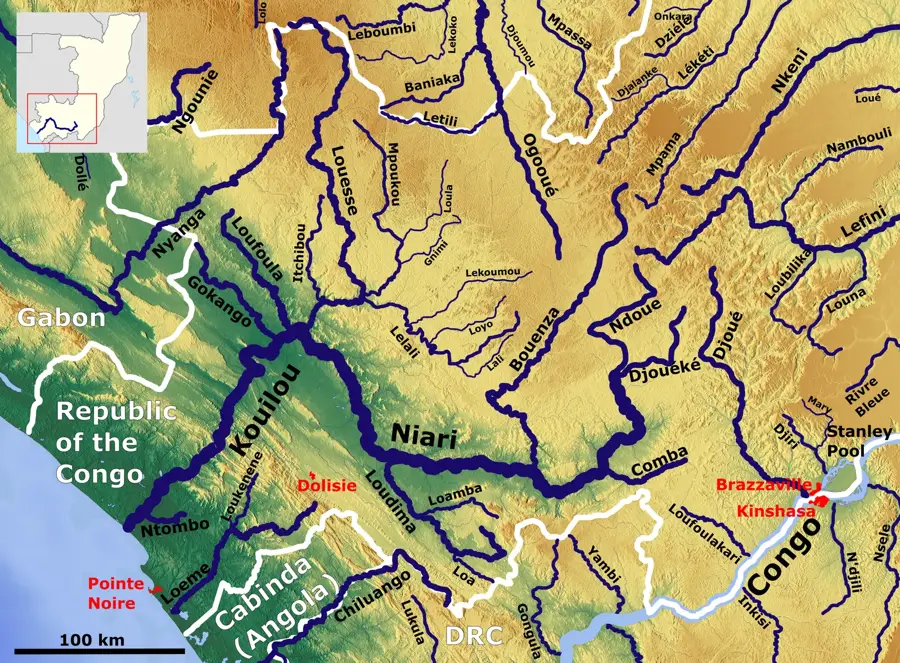
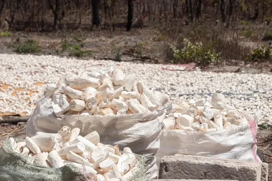
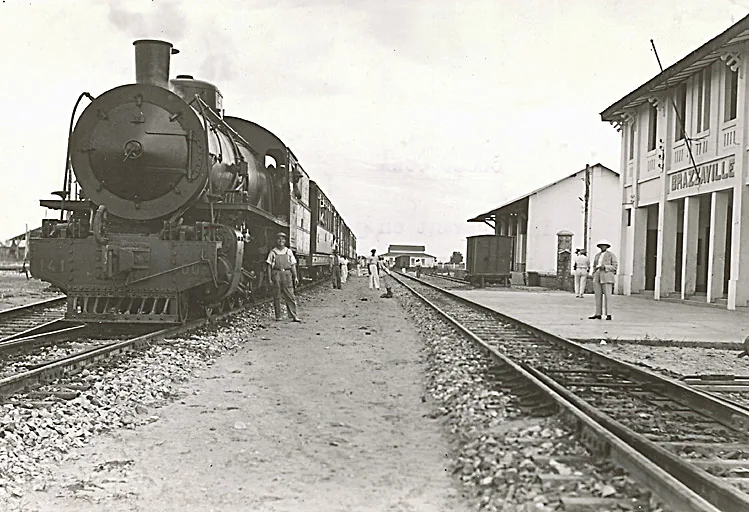
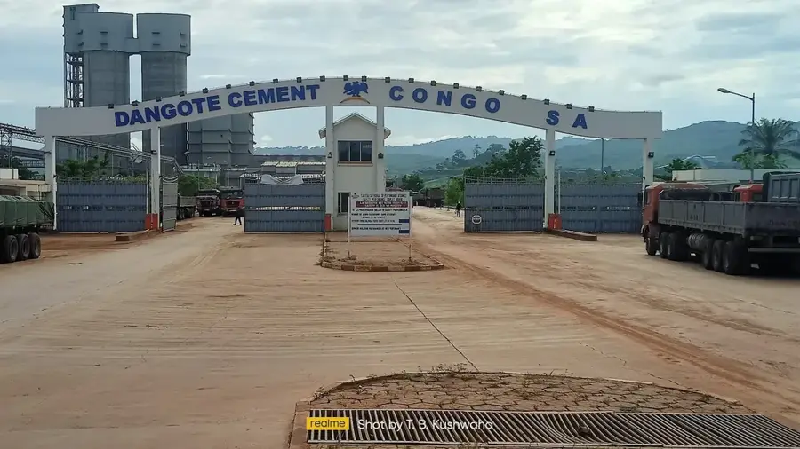
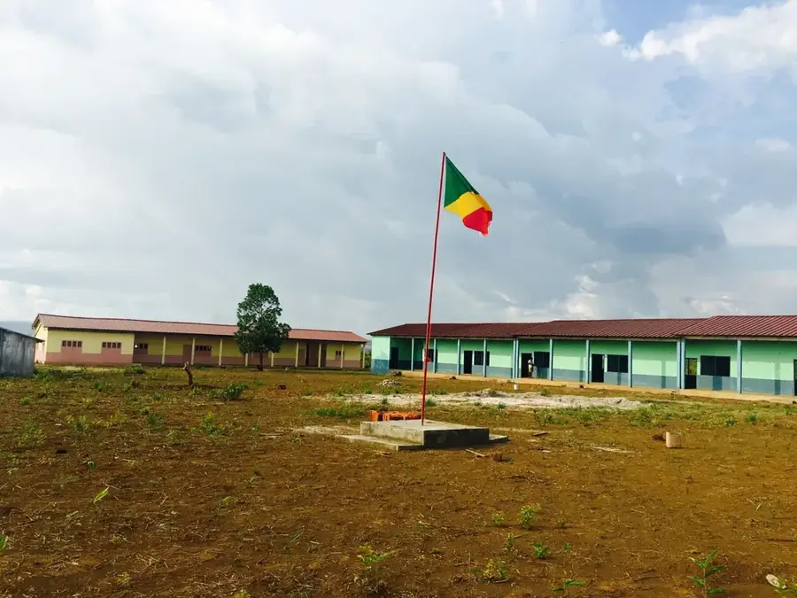
Kayes is located in the Bouenza Department in southern Republic of the Congo, located within a hilly and fertile agricultural landscape. The town serves as a vital regional center within the Kayes District and benefits from its proximity to the Congo-Ocean Railway (CFCO) line connecting Brazzaville to Pointe-Noire. The region's economy is driven by the large-scale cultivation of sugarcane, peanuts, and cassava, along with the artisanal processing of these crops. Historically, Kayes played a role in the opening up of the hinterland during the colonial era and now functions as a collection point for agricultural produce bound for urban centers. The climate is tropical with a distinct dry season, which heavily influences local farming cycles. In recent years, there have been concerted efforts to improve local healthcare infrastructure and educational facilities.
- Location: Congo - Brazzaville
- Nearby: Nkayi (22 km)
Best time to visit & climate
The most pleasant time to visit is Jun–Aug.
| Jan | Feb | Mar | Apr | May | Jun | Jul | Aug | Sep | Oct | Nov | Dec | |
|---|---|---|---|---|---|---|---|---|---|---|---|---|
| Avg °C | 25 | 25 | 25 | 25 | 25 | 24 | 24 | 25 | 26 | 26 | 25 | 25 |
| Rain mm | 170 | 162 | 205 | 192 | 137 | 11 | 2 | 6 | 39 | 168 | 280 | 236 |
Geography
Facts
- Kayes is the principal town of the district of the same name in Bouenza.
- The region is renowned for its high yields in peanut cultivation.
- The town is situated at an average elevation of approximately 200 meters.
- The CFCO railway line passes just a few kilometers south of the town.
- The annual dry season in this region lasts from June to September.
- Kayes hosts a local market that draws buyers from the surrounding countryside.
Explore nearby
Notable places around
Route planner — Car & Motorhome
Where do you start? We build the route here, with stops and country notes along the way.
© OpenStreetMap contributors · OpenRouteService
Frequently asked questions
Where is Kayes located?
What is the main activity in Kayes?
How is the transport connection?
Are there markets there?
What is the climate like in Kayes?
Kayes: where is it located?
Kayes: when is the best time to visit?
Kayes: why is it worth visiting?

Nearby cities


More places