Plizio Visual Lab
Kingoué
ℹ️Practical info — Kingoué
▾
🌤 Weather — 5 days
📍 Nearby
Sights nearby
💡 Tips
- The town is tucked away in the hills, so expect cooler evenings than in the lowlands.
- The best way to get around is by hiring a local motorcycle taxi (moto-taxi).
- Try to visit during the dry season to avoid difficult muddy roads.
- A local guide is recommended if you plan to hike in the surrounding Bouenza hills.
- Fresh water is precious; always have your own supply of drinking water.
🍽 Food
Sold by vendors along the main road.
Found in small dining spots frequented by traders.
Fresh tropical fruits like mangoes and papayas from the market.
🛍 Shopping · 🧘 Quiet spots
The town center features small stalls selling basic provisions and agricultural tools.
Hand-carved wooden spoons and bowls made by local craftsmen.
Slightly outside the town center they offer serene views of the Bouenza landscape.
Small trails leading to nearby agricultural plots provide a quiet nature walk.
Water temperature…
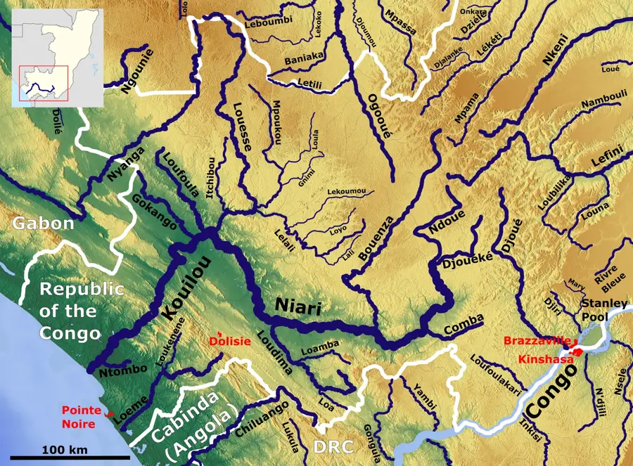
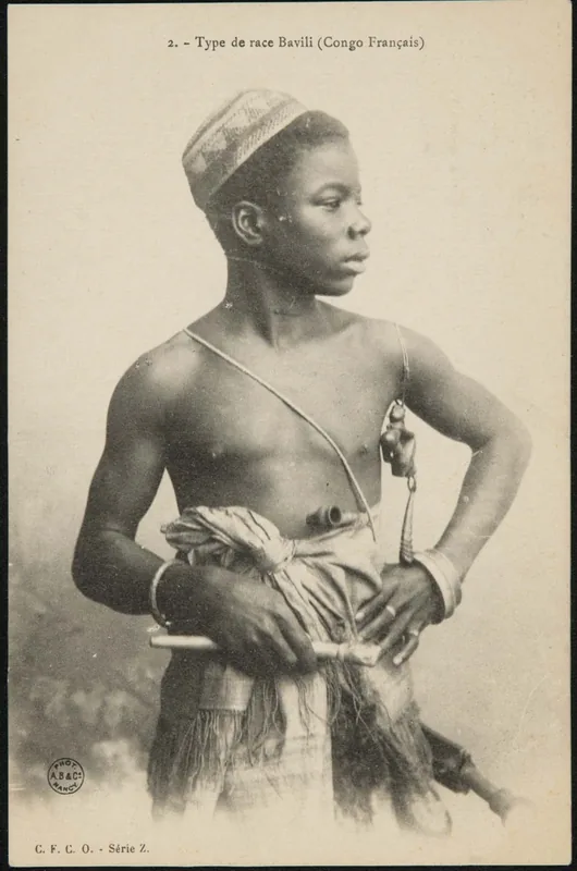
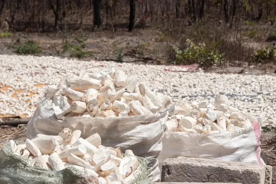
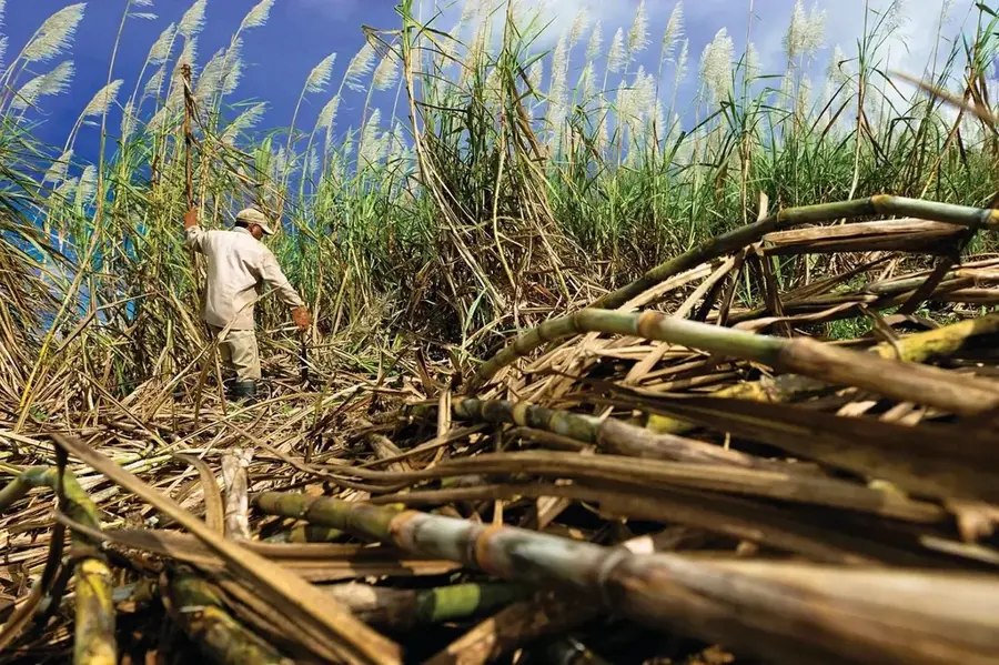
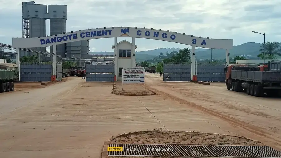
Kingoué is located in the Kingoué District within the Bouenza Department in southern Republic of the Congo. The small town is the administrative and economic heart of a district primarily characterized by agriculture and livestock farming. The landscape surrounding Kingoué consists of rolling hills and valleys irrigated by numerous small streams, providing well-suited conditions for growing grains and legumes. Historically, the region is a significant part of the Bakongo cultural settlement area, with influences reflected in the local language and social structures. The town serves as a local transport hub, linking smaller villages to the major trade routes leading to Loutété and Madingou. Despite its rural character, Kingoué is slowly emerging as a center for the local-level processing of agricultural products.
- Location: Congo - Brazzaville
- Nearby: Mouyondzi (28 km)
Best time to visit & climate
The most pleasant time to visit is Jun–Aug.
| Jan | Feb | Mar | Apr | May | Jun | Jul | Aug | Sep | Oct | Nov | Dec | |
|---|---|---|---|---|---|---|---|---|---|---|---|---|
| Avg °C | 25 | 25 | 25 | 25 | 25 | 24 | 24 | 25 | 26 | 26 | 25 | 25 |
| Rain mm | 170 | 162 | 205 | 192 | 137 | 11 | 2 | 6 | 39 | 168 | 280 | 236 |
Geography
Facts
- Kingoué was established as the administrative center of a new district in 2011.
- The region is known for producing high-quality beans and maize.
- The town is situated on an elevation providing a broad view over the Bouenza Valley.
- The local population predominantly belongs to the Sundi ethnic group.
- Kingoué is connected to the town of Loutété via unpaved roads.
- The average annual rainfall is approximately 1,200 millimeters.
Explore nearby
Notable places around
Route planner — Car & Motorhome
Where do you start? We build the route here, with stops and country notes along the way.
© OpenStreetMap contributors · OpenRouteService
Frequently asked questions
Where is Kingoué located?
What can you do in Kingoué?
How is the accessibility?
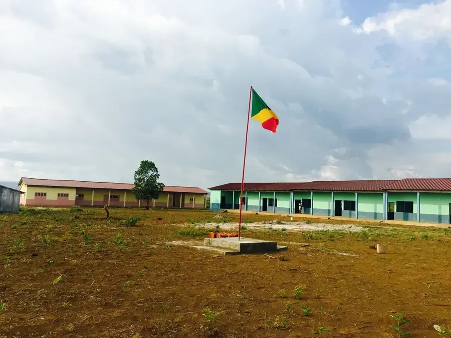
Are there schools there?
What products are typical?
Kingoué: where is it located?
Kingoué: when is the best time to visit?
Kingoué: why is it worth visiting?

Nearby cities

More places