Plizio Visual Lab
Farallones de Cali
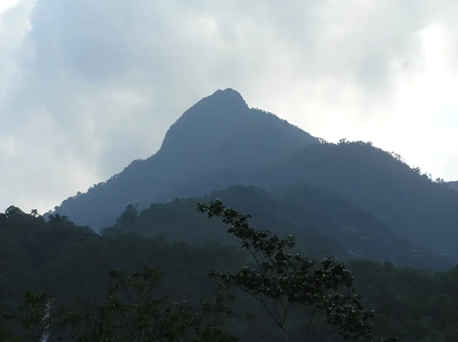
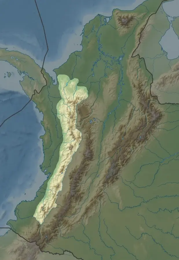
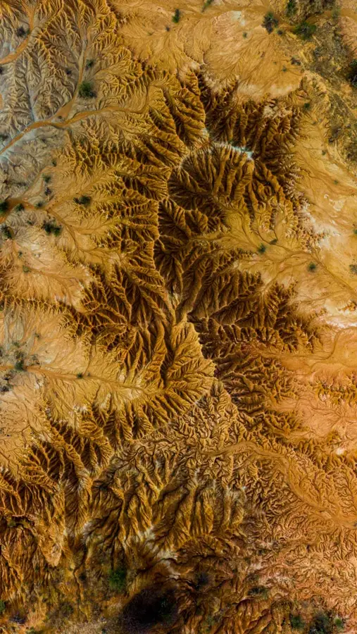
The Farallones de Cali is the largest protected area in southwestern Colombia, belonging to the Western Cordillera of the Andes. The national park spans 150,000 hectares and encompasses four different climate zones, from tropical rainforest to high-altitude tundra (páramo). These mountains are a vital water source for the city of Cali and surrounding communities, as several significant rivers originate there. The highest peaks exceed 4,000 meters, including Pico Pance, which is a popular destination for climbers. The biodiversity in the park is exceptionally high, with over 500 bird species and numerous endemic plants. Historically, the Farallones served as a natural barrier and sanctuary. In recent decades, increased efforts have been made to combat illegal mining and deforestation in the region. The park also provides habitat for endangered species such as the spectacled bear and the mountain tapir, highlighting its conservation importance.
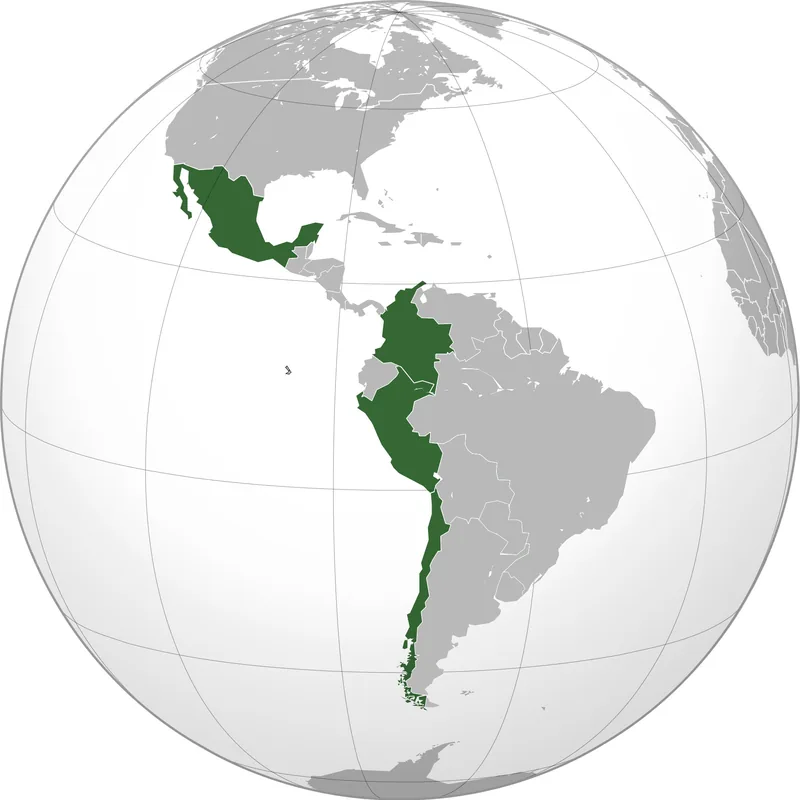
- Location: Colombia
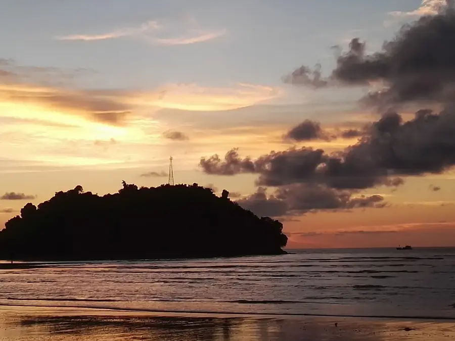
- Top sights: Isla Perdida · Charco Escondido · La Ballena
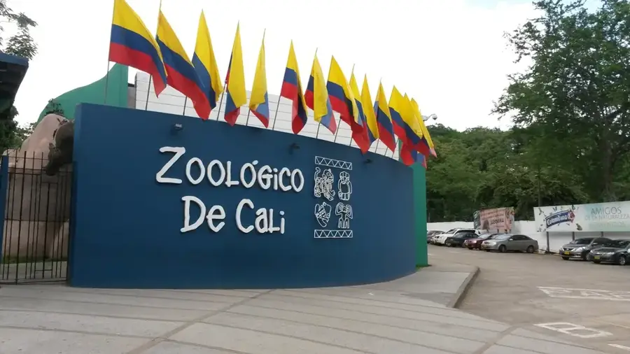
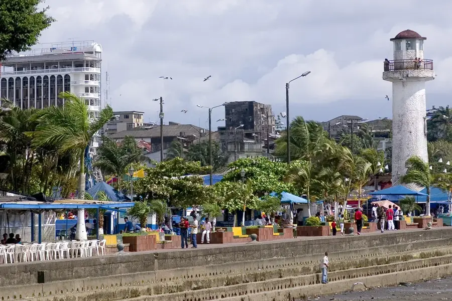
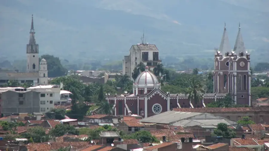
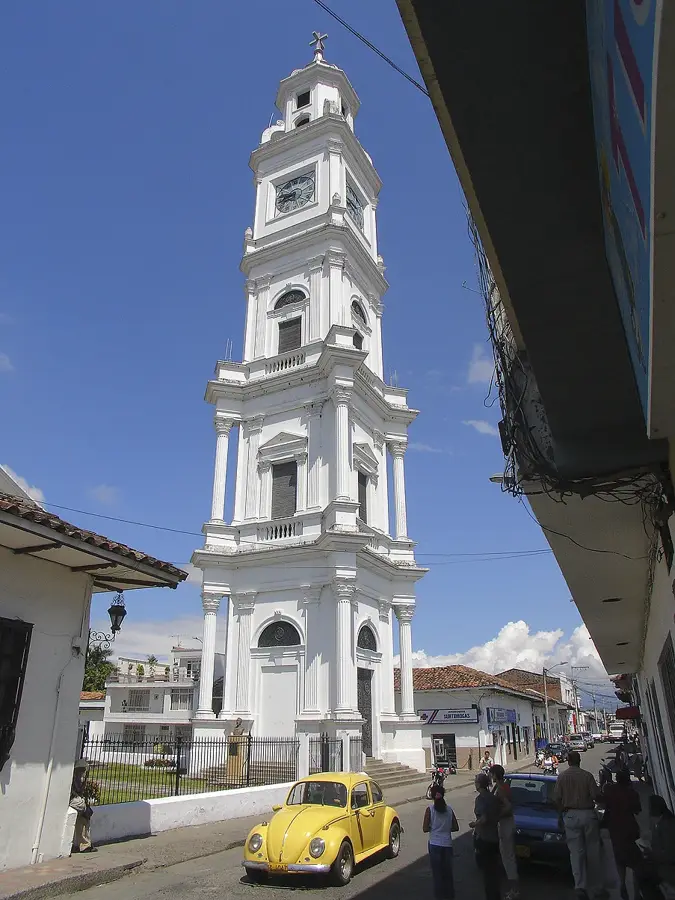
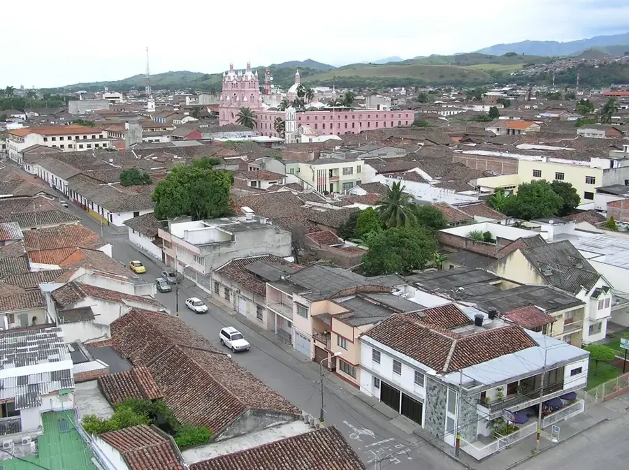
- Nearby: Jamundí (7 km)
Best time to visit & climate
The most pleasant time to visit is Jul–Sep.
| Jan | Feb | Mar | Apr | May | Jun | Jul | Aug | Sep | Oct | Nov | Dec | |
|---|---|---|---|---|---|---|---|---|---|---|---|---|
| Avg °C | 16 | 17 | 17 | 17 | 16 | 16 | 16 | 17 | 17 | 16 | 16 | 16 |
| Rain mm | 56 | 70 | 96 | 135 | 110 | 55 | 42 | 38 | 53 | 126 | 150 | 93 |
📋 Practical info
Geography
Facts
- Pico Pance is the highest peak at 4,100 meters.
- The park was officially established in 1968.
- More than 30 rivers have their sources in these mountains.
- It hosts the highest diversity of bats in Colombia.
- The park spans the municipalities of Cali, Jamundí, Dagua, and Buenaventura.
- Annual precipitation can reach up to 6,000 mm.
Explore nearby
Notable places around
Route planner — Car & Motorhome
Where do you start? We build the route here, with stops and country notes along the way.
© OpenStreetMap contributors · OpenRouteService
Sights in the town Farallones de Cali (9)
Sights nearby
Frequently asked questions
What are the Farallones de Cali?
Can you go birdwatching there?
How high is the highest peak?
What is Pance?
What is the difficulty of the hiking trails?
Farallones de Cali: where is it located?
Farallones de Cali: what is there to see?
Farallones de Cali: when is the best time to visit?
Farallones de Cali: why is it worth visiting?

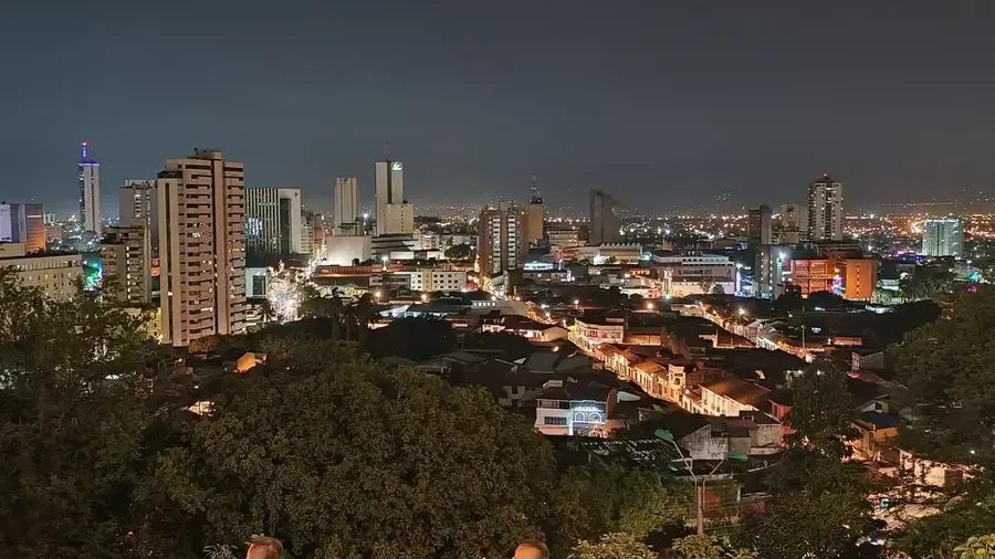
Nearby cities
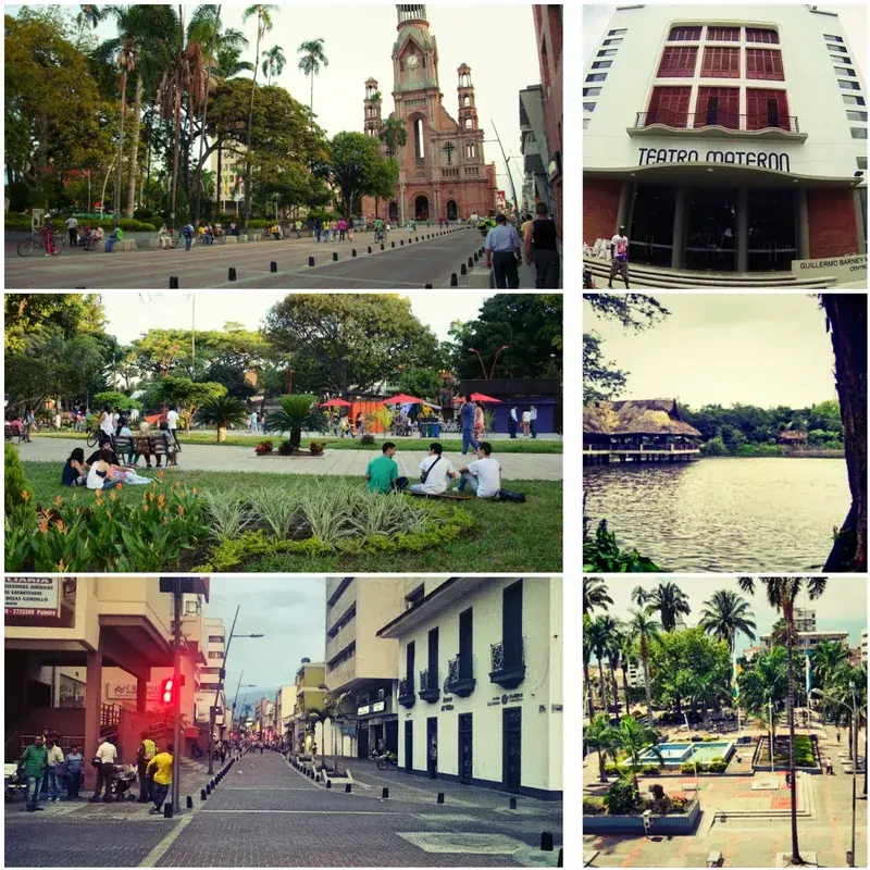
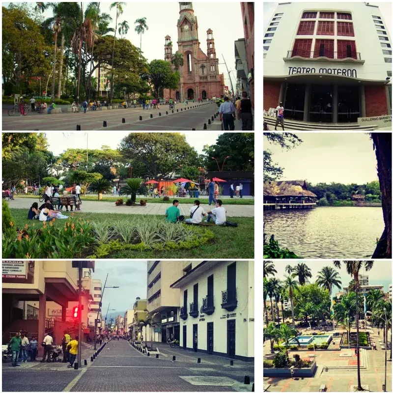
History & landmarks
Nature


More places