Plizio Visual Lab
Cordillera Occidental (Colombia)
Weather…
Water temperature…
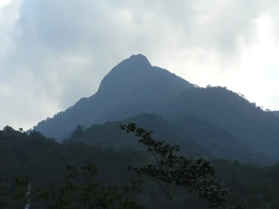
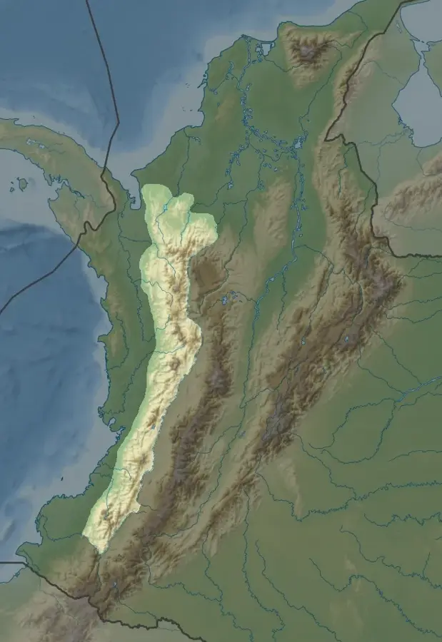
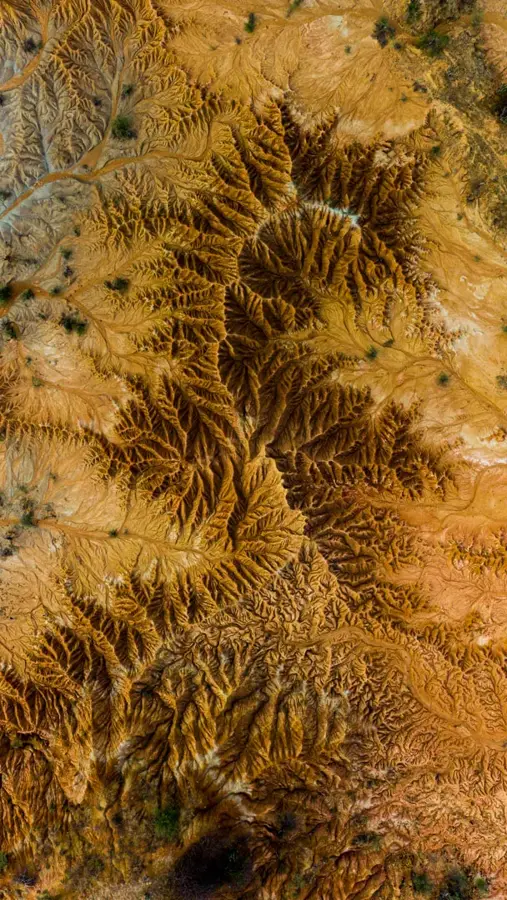
The Cordillera Occidental is the westernmost of the three main branches of the Colombian Andes and runs parallel to the Pacific coast. With an average elevation of about 2,000 meters, it is the lowest of the three mountain ranges, but still features impressive peaks such as Cerro Tatamá at 4,100 meters. The mountain range separates the humid Pacific lowlands from the fertile Cauca Valley and plays a crucial role in regulating the regional climate. At higher altitudes, ecologically valuable paramo ecosystems are found, which serve as natural water reservoirs and home to numerous endemic plant species. The Cordillera Occidental hosts several protected areas, including the Farallones de Cali National Park, known for its rich birdlife and steep granite formations. Geologically, the range consists mainly of igneous and metamorphic rocks resulting from volcanic activities in the distant past. Settlement is less dense than in the central Andes due to the steep terrain, but small farms utilize the temperate climate zones for coffee and fruit cultivation.
- Location: Colombia
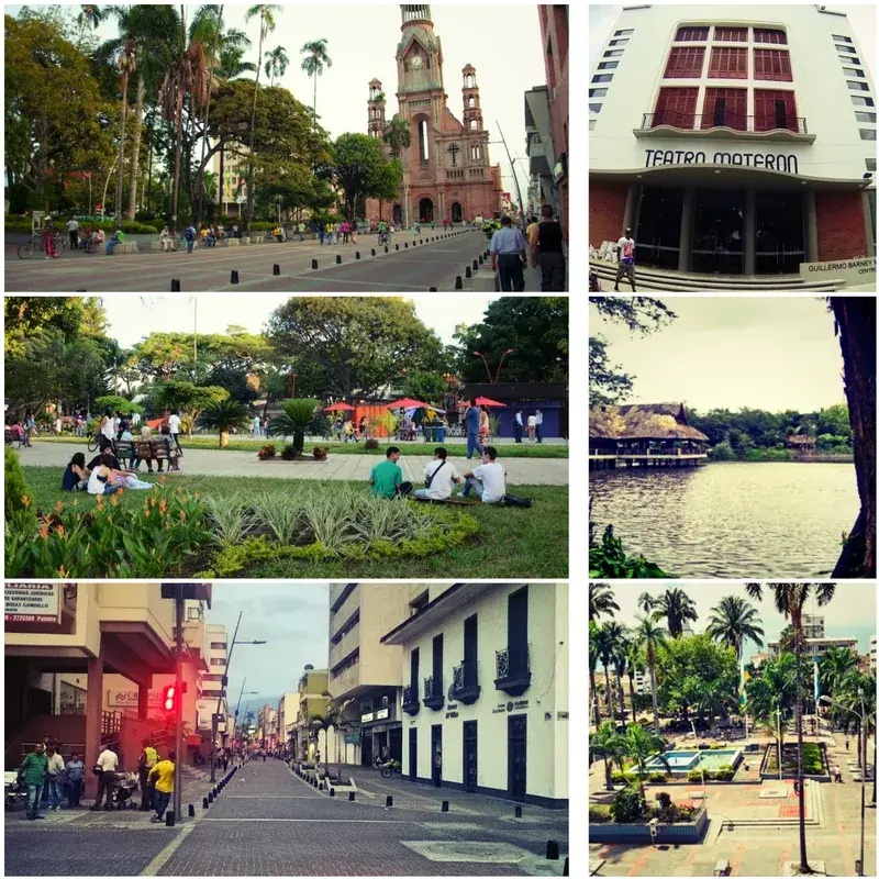
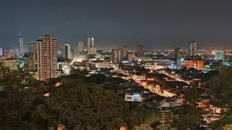
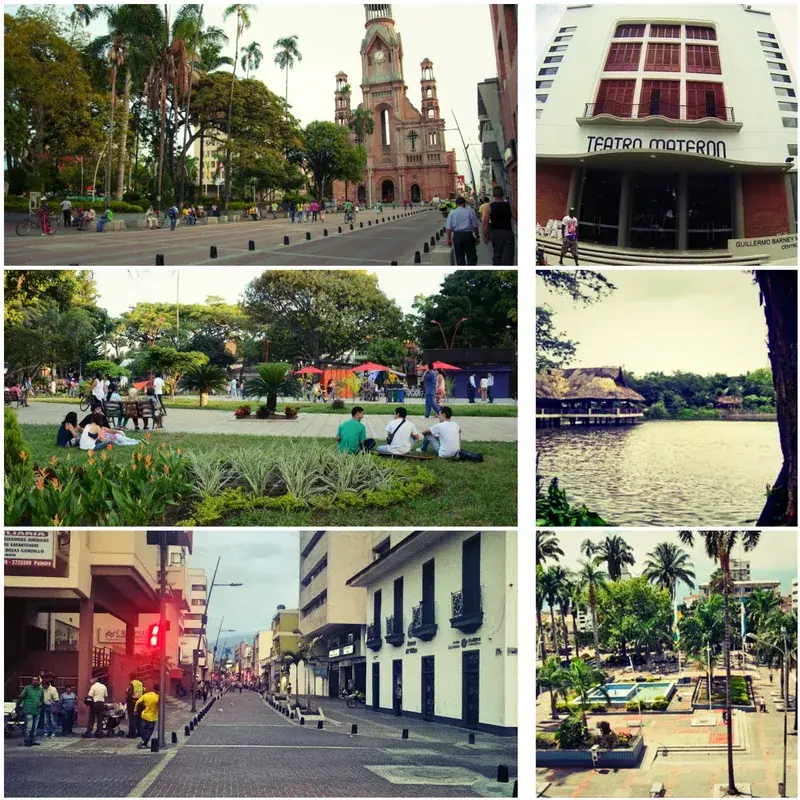
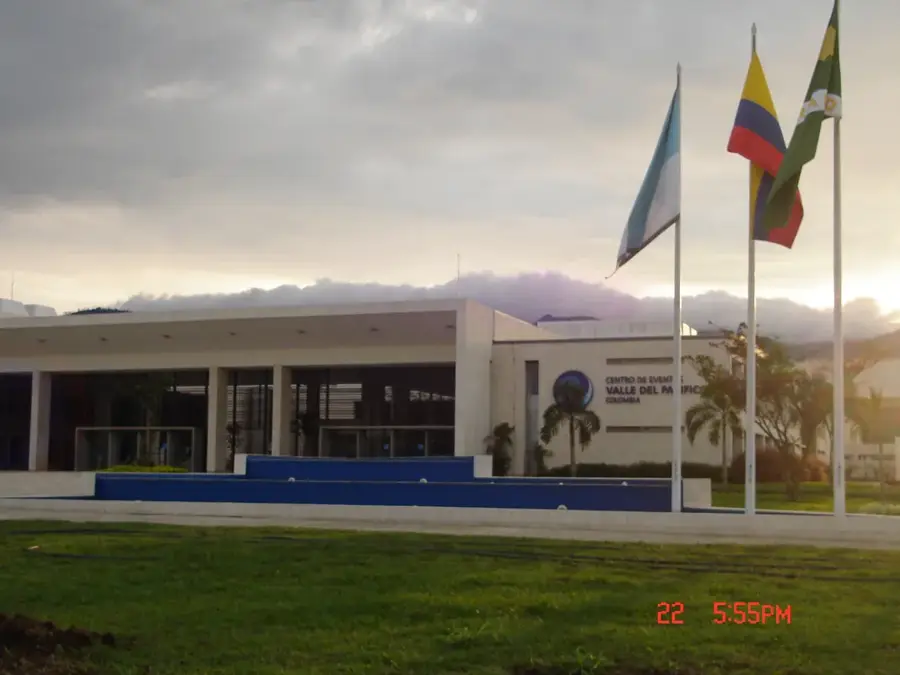
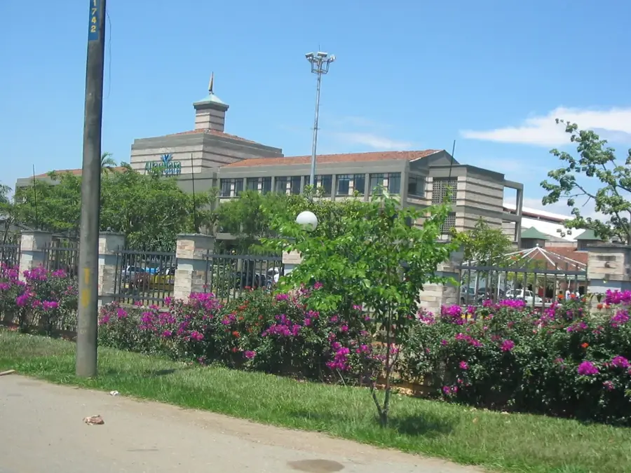
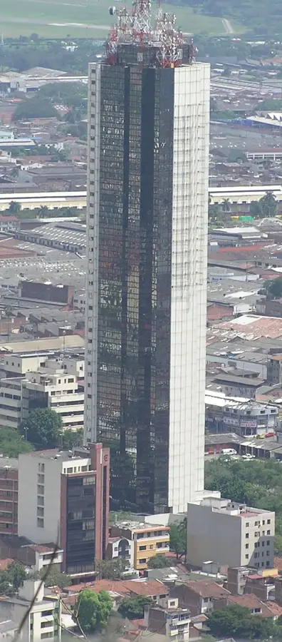
- Nearby: Yumbo (24 km)
Best time to visit & climate
The most pleasant time to visit is Jan, Feb, Jul.
| Jan | Feb | Mar | Apr | May | Jun | Jul | Aug | Sep | Oct | Nov | Dec | |
|---|---|---|---|---|---|---|---|---|---|---|---|---|
| Avg °C | 21 | 21 | 21 | 21 | 22 | 22 | 22 | 22 | 22 | 21 | 20 | 21 |
| Rain mm | 112 | 118 | 152 | 204 | 188 | 132 | 122 | 133 | 138 | 206 | 215 | 171 |
📋 Practical info
Geography
Facts
- Lowest of the three Andean branches
- Highest point: Cerro Tatamá (4,100 m)
- Separates the Cauca Valley from the Pacific
- Hosts Farallones de Cali National Park
- Rich in paramo ecosystems
- Composed primarily of volcanic rocks
Explore nearby
Notable places around
Route planner — Car & Motorhome
Where do you start? We build the route here, with stops and country notes along the way.
© OpenStreetMap contributors · OpenRouteService
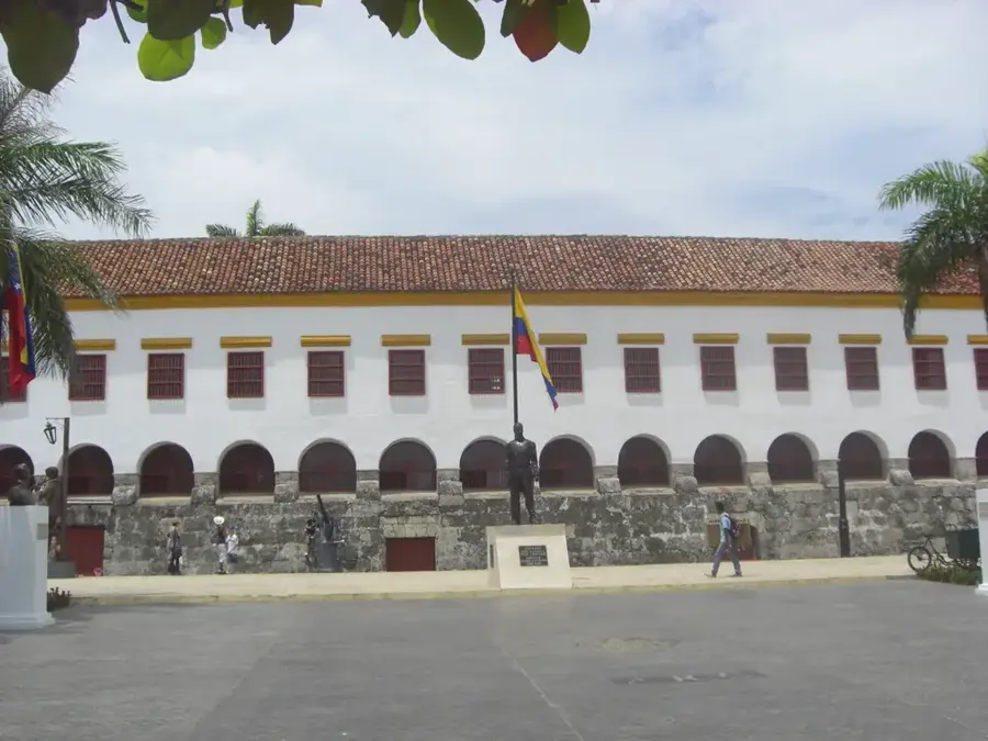
Sights nearby
Frequently asked questions
What is the Cordillera Occidental?
How high are the mountains there?
Which park is located there?
Does it divide the country?
Is coffee grown there?
Cordillera Occidental (Colombia): where is it located?
Cordillera Occidental (Colombia): when is the best time to visit?
Cordillera Occidental (Colombia): why is it worth visiting?

Nearby cities
History & landmarks

Nature


More places