Plizio Visual Lab
Villavicencio
ℹ️Practical info — Villavicencio
▾
🌤 Weather — 5 days
📍 Nearby
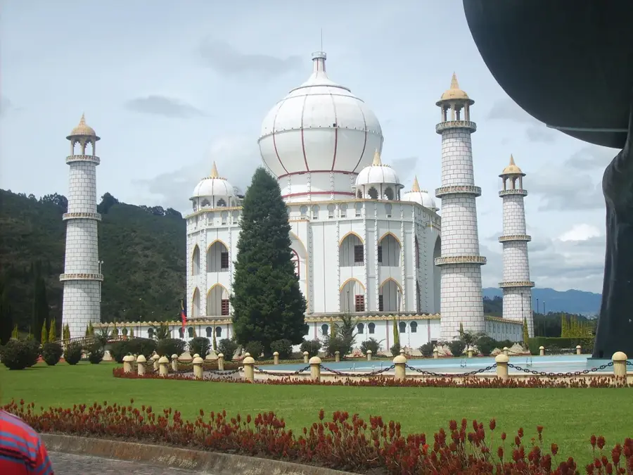
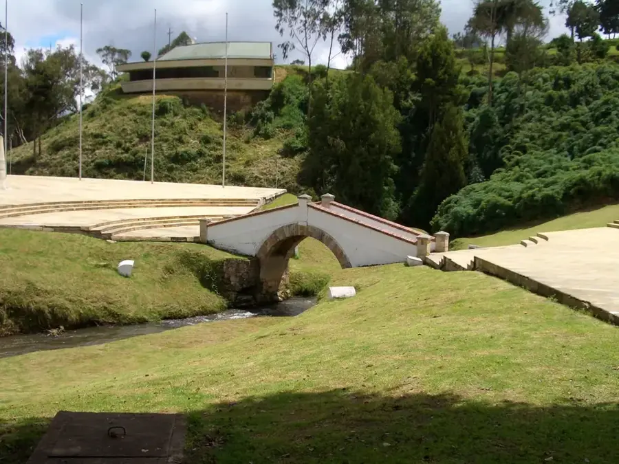
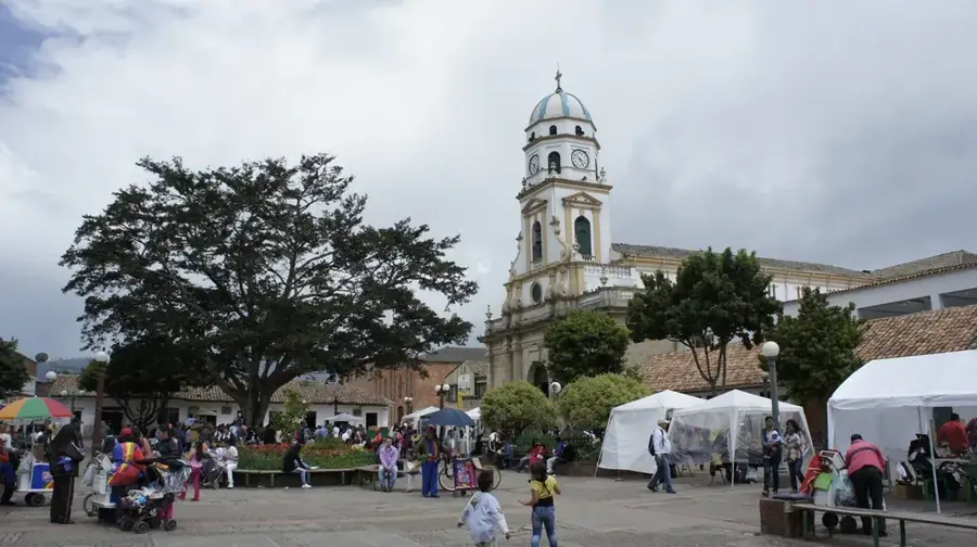
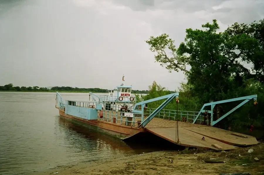
Sights nearby
💡 Tips
- Villavicencio is the gateway to the Llanos (plains); try to catch a 'Coleo' event to experience authentic local cowboy culture.
- The main highway connecting to Bogotá is incredibly scenic but prone to closures due to landslides; always check road conditions before traveling.
- The local climate is typically hot and humid all year round; lightweight, breathable clothing is highly recommended.
- Rent a bike or take a walk along the city's designated ecological paths, but do it early in the morning to beat the heat.
🍽 Food
Slow-roasted veal cooked over an open fire, the most iconic dish of the region. Look for large outdoor restaurants on the city outskirts.
Crunchy rings made from rice flour and curd, a first-rate traditional snack with coffee at local bakeries.
A tamale-like dish wrapped in banana leaves, filled with meat, vegetables, and cornmeal, found in traditional eateries.
🛍 Shopping · 🧘 Quiet spots
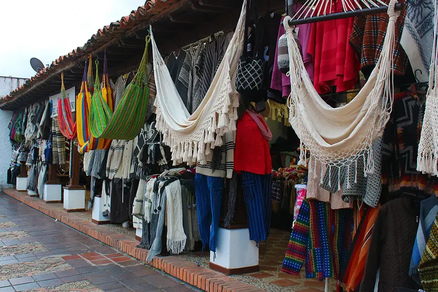
Look for authentic leather goods and traditional cowboy hats (sombreros llaneros) in specialized craft shops.
A bustling local market excellent for buying fresh, exotic regional fruits and traditional Llanero snacks.
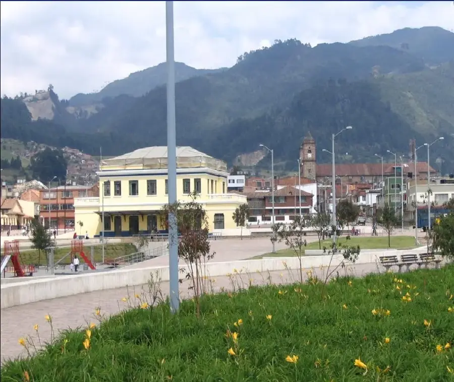
A large, well-maintained park that is good for a peaceful late afternoon stroll.
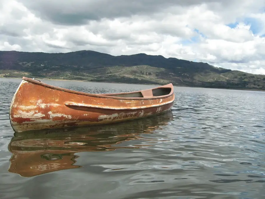
Although it is a wildlife park, its natural setting around a beautiful lake gives tranquil walking paths.
Water temperature…
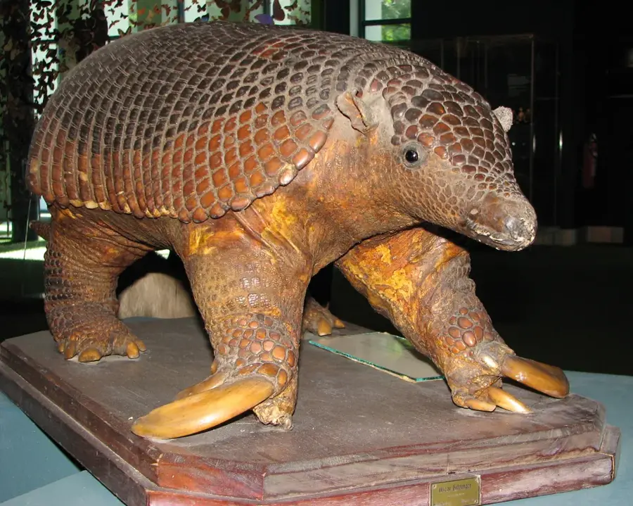
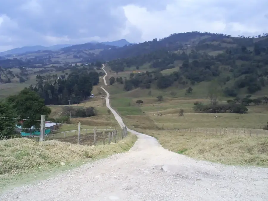
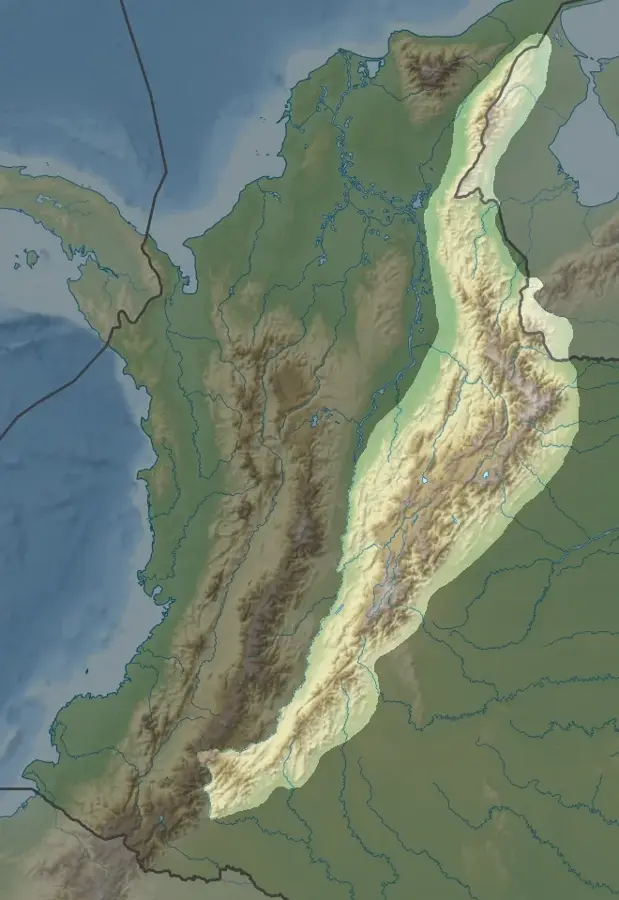
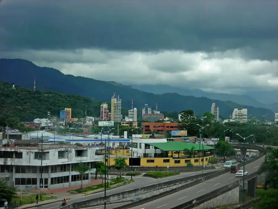
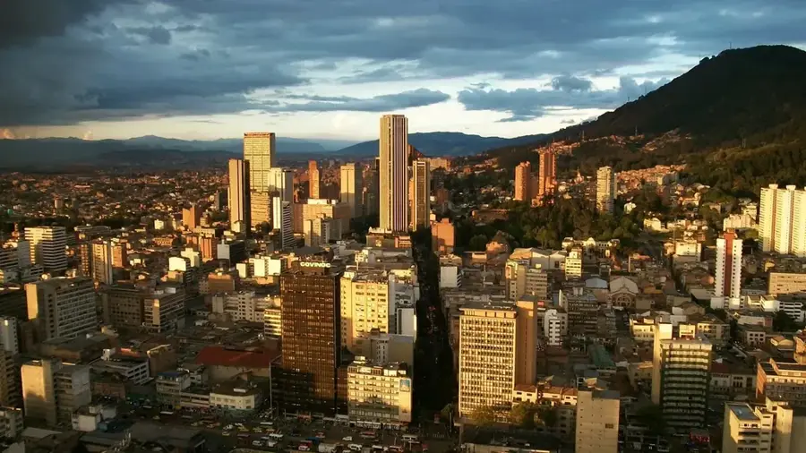
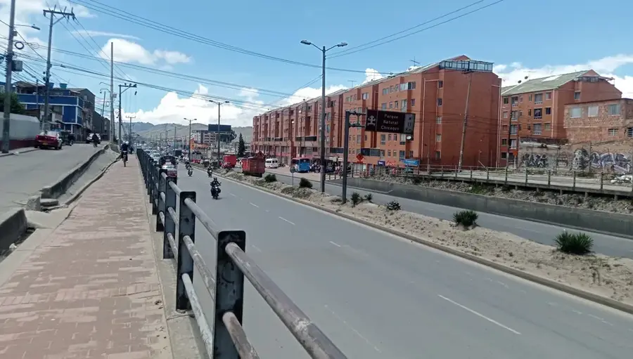
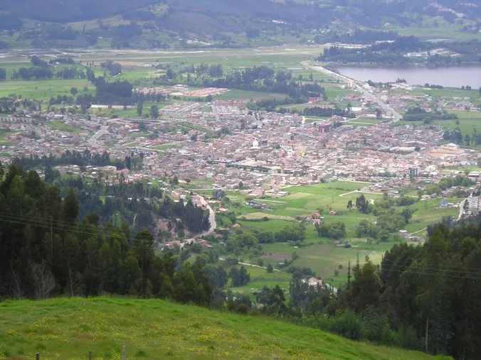
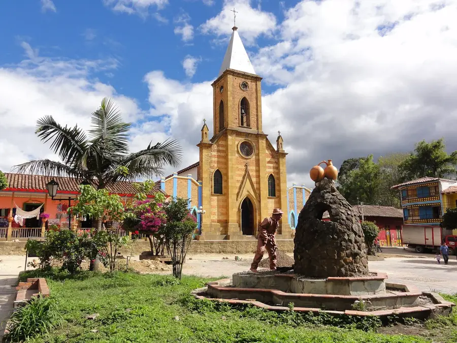
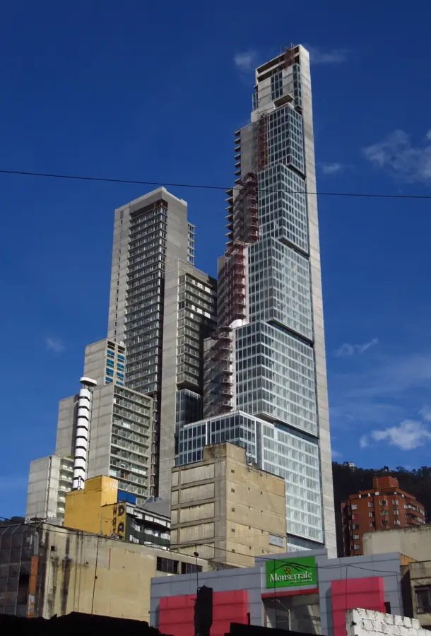
Villavicencio, the capital of the Meta Department, is affectionately known as the 'Gateway to the Plains' (La Puerta al Llano) due to its strategic location at the foot of the Andes Mountains where they meet the vast Colombian savannas. As the most significant city in the eastern half of Colombia, it serves as a critical bridge for trade, culture, and logistics between the high-altitude capital, Bogotá, and the expansive Orinoco River basin. Established in the mid-19th century, Villavicencio grew around the cattle drives that characterized the regional economy, eventually becoming a powerhouse of livestock production and agro-industry. Today, the city is at the forefront of Colombia's energy sector, acting as a management and supply hub for the country’s major inland oil fields. The cultural soul of Villavicencio is defined by the 'Llanero' heritage, the South American counterpart to the cowboy, celebrated through Joropo music, high-energy dancing, and 'coleo' (a traditional equestrian sport). The city’s geography features a dramatic backdrop of mountain slopes covered in cloud forests transitioning into infinite golden plains. Tourism is a major draw, with attractions such as the Los Ocarros Biopark showcasing the region’s unique fauna, including giant armadillos and anacondas. The culinary landscape is dominated by the legendary 'Ternera a la Llanera' (slow-roasted veal), which reflects the rustic and generous nature of the local people. Despite facing the challenges of rapid urbanization, Villavicencio has invested heavily in public spaces, parks, and educational institutions, becoming a regional leader in higher education. The highway connecting it to Bogotá is a feat of engineering, featuring numerous tunnels and bridges that have drastically reduced travel times, fostering a booming weekend tourism industry. Whether as a starting point for expeditions into the wild plains or as a lively urban destination in its own right, Villavicencio embodies the dynamic growth and enduring folklore of the Colombian heartland.
- Location: Colombia
- Top sights: Museo de historia natural unillanos · Instituto Roberto Franco - Universidad Nacional · caídos en acción
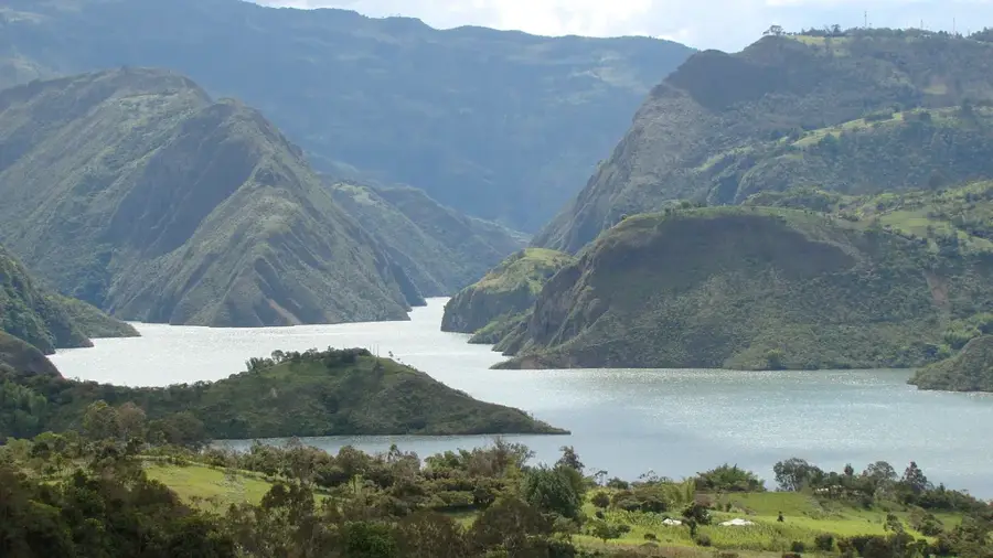
- Nearby: Guatavita (34 km)
- Population: ~321.717 (2026)
Best time to visit & climate
The most pleasant time to visit is Jan, Feb, Dec.
| Jan | Feb | Mar | Apr | May | Jun | Jul | Aug | Sep | Oct | Nov | Dec | |
|---|---|---|---|---|---|---|---|---|---|---|---|---|
| Avg °C | 19 | 20 | 20 | 20 | 19 | 18 | 18 | 18 | 19 | 19 | 19 | 19 |
| Rain mm | 44 | 66 | 165 | 297 | 344 | 282 | 251 | 201 | 167 | 259 | 231 | 131 |
Geography
Facts
- Villavicencio was founded on April 6, 1840.
- The city sits at an elevation of 467 meters (1,532 feet).
- It is the capital of the Meta Department and a key hub for the oil industry.
- The International Joropo Tournament is held here every June.
- The highway to Bogotá includes the Chirajara bridge and numerous tunnels.
- The city's motto is 'Villavicencio: Gateway to the Plains'.
- Mamona is the signature regional dish, consisting of slow-roasted meat.
- The Bioparque Los Ocarros is a major center for wildlife conservation.
Explore nearby
Notable places around
Route planner — Car & Motorhome
Where do you start? We build the route here, with stops and country notes along the way.
© OpenStreetMap contributors · OpenRouteService
Sights in the town Villavicencio (14)
Frequently asked questions
What is Villavicencio often called?
What is 'Mamona'?
What can you see at Bioparque Los Ocarros?
Are there horseback riding tours?
When is the World Coleo Festival held?
Villavicencio: where is it located?
Villavicencio: what is there to see?
Villavicencio: when is the best time to visit?
Villavicencio: why is it worth visiting?

Nearby cities
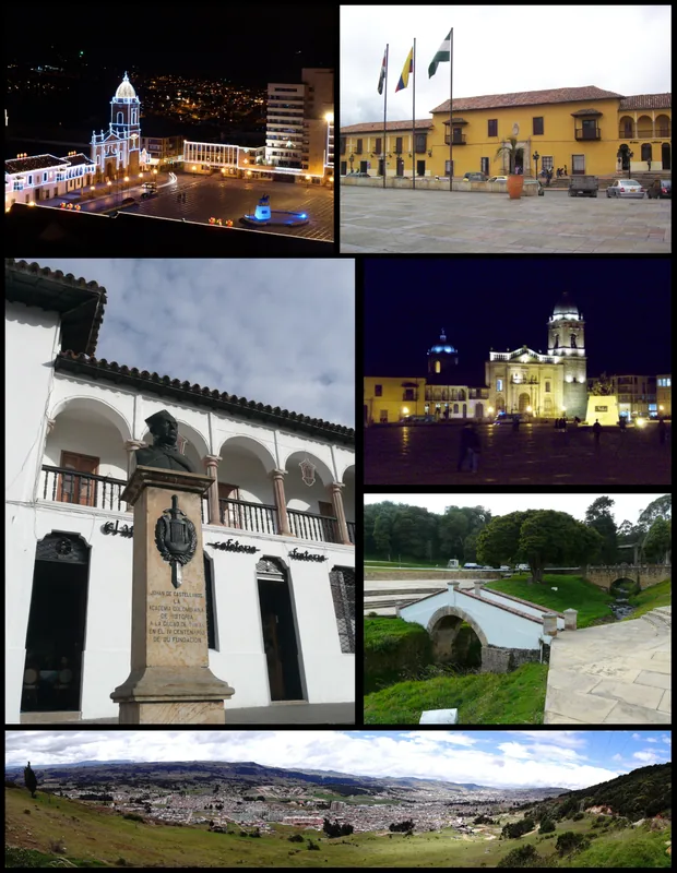
History & landmarks
Nature
More places