Plizio Visual Lab
Nevado del Huila
Weather…
Water temperature…
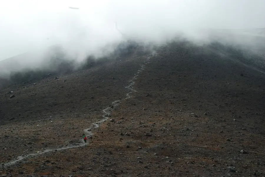
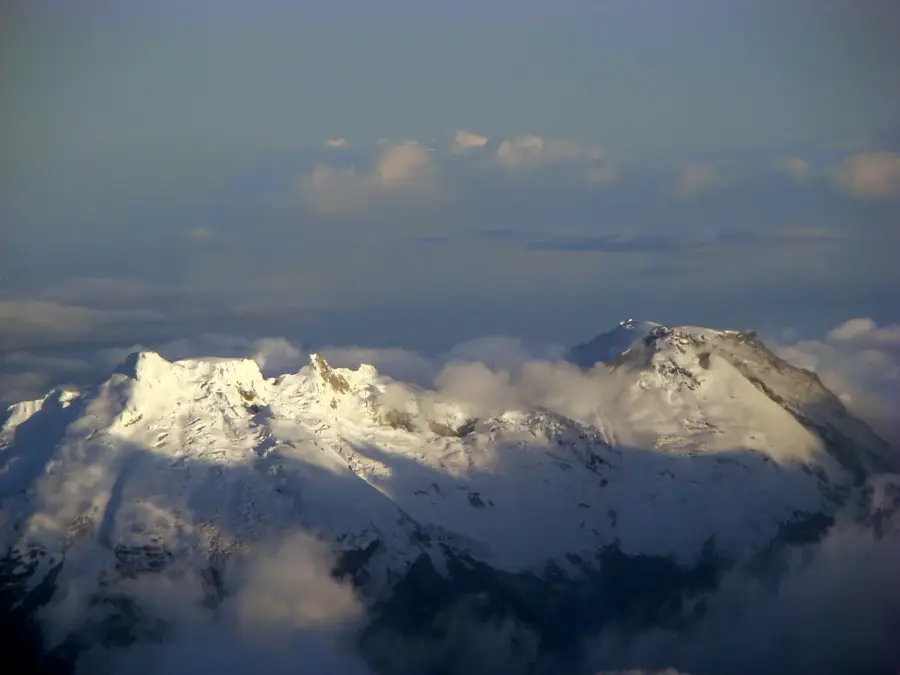
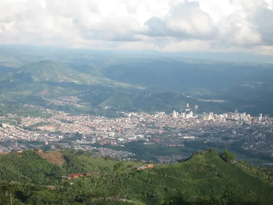
Nevado del Huila is the highest volcano in Colombia, standing at an elevation of 5,364 meters within the Central Cordillera. As an active stratovolcano, it serves as the centerpiece of its namesake National Natural Park, spanning the departments of Huila, Tolima, and Cauca. After remaining dormant for over 500 years, the volcano reawakened in 2007, resulting in significant ash eruptions and mudflows. The summit is capped by an extensive glacier, which acts as a vital source for several major rivers in the region. Geologically, Huila is part of an active subduction zone, explaining its frequent seismic and volcanic occurrences. For local indigenous communities, particularly the Nasa people, the mountain is a sacred site deeply embedded in their traditional mythology. Due to its geological instability and ongoing activity, access to the summit is frequently restricted for safety reasons. The mountain is closely monitored by the Colombian Geological Service using advanced instrumentation to provide early warnings.
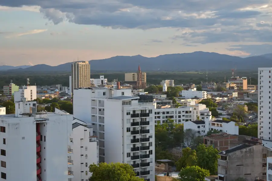
- Location: Colombia
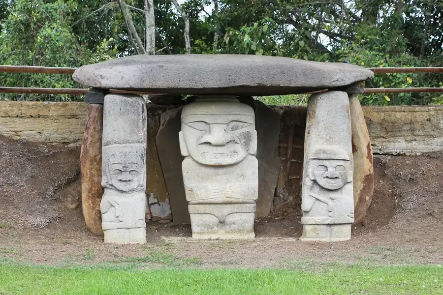
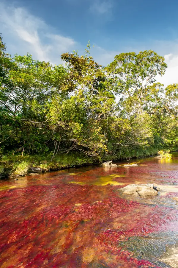
- Top sights: Parque Nacional Natural Nevado del Huila · Termales Kilometro 42
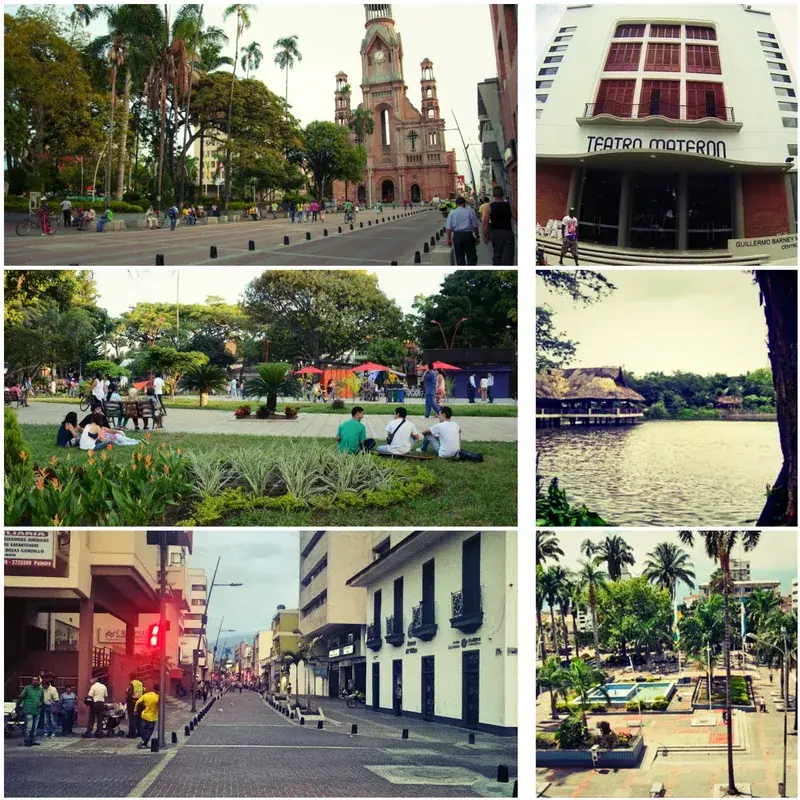
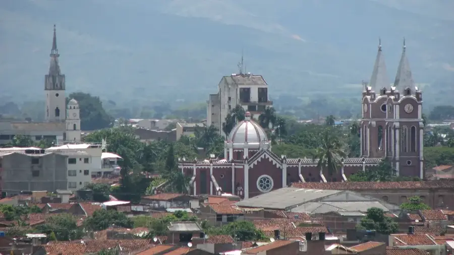
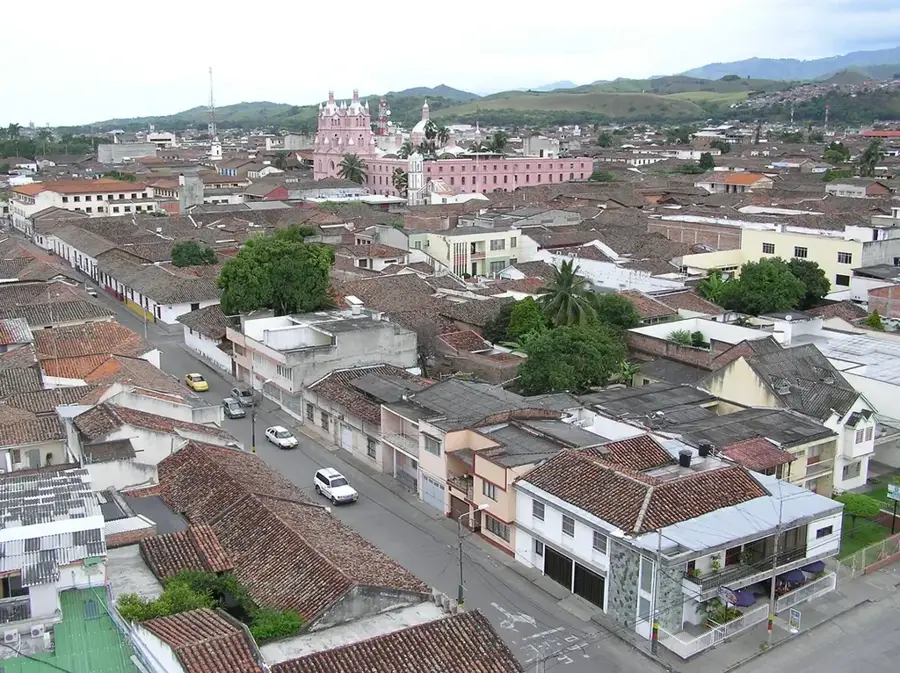
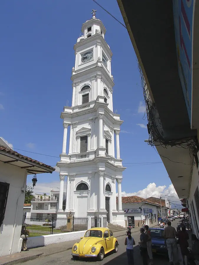
- Nearby: Pitalito (29 km)
Best time to visit & climate
The most pleasant time to visit is Jul–Sep.
| Jan | Feb | Mar | Apr | May | Jun | Jul | Aug | Sep | Oct | Nov | Dec | |
|---|---|---|---|---|---|---|---|---|---|---|---|---|
| Avg °C | 15 | 16 | 16 | 16 | 15 | 15 | 15 | 15 | 16 | 15 | 15 | 15 |
| Rain mm | 55 | 67 | 97 | 128 | 103 | 50 | 36 | 28 | 44 | 116 | 150 | 92 |
📋 Practical info
Geography
Facts
- Highest volcano in Colombia at 5,364 meters
- First historical eruption recorded in the 16th century
- Reactivated in February 2007 after 500 years of dormancy
- Part of an UNESCO Biosphere Reserve
- The main summit consists of four distinct peaks
- Primary water source for the Huila Valley
Explore nearby
Notable places around
Route planner — Car & Motorhome
Where do you start? We build the route here, with stops and country notes along the way.
© OpenStreetMap contributors · OpenRouteService
Sights in the town Nevado del Huila (2)
Sights nearby
Frequently asked questions
Is it the highest volcano in Colombia?
Where is it located?
Have there been recent eruptions?
What danger does it pose?
Is it part of a national park?
Nevado del Huila: where is it located?
Nevado del Huila: what is there to see?
Nevado del Huila: when is the best time to visit?
Nevado del Huila: why is it worth visiting?

Nearby cities

History & landmarks

Nature

More places