Plizio Visual Lab
Tatacoa Desert
Weather…
Water temperature…
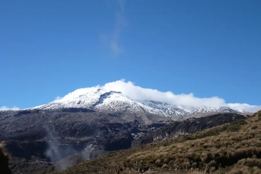
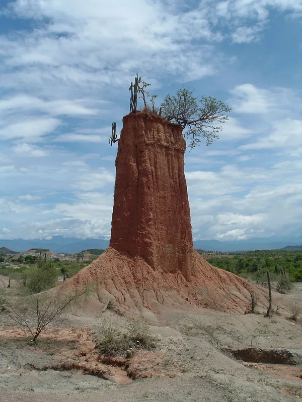
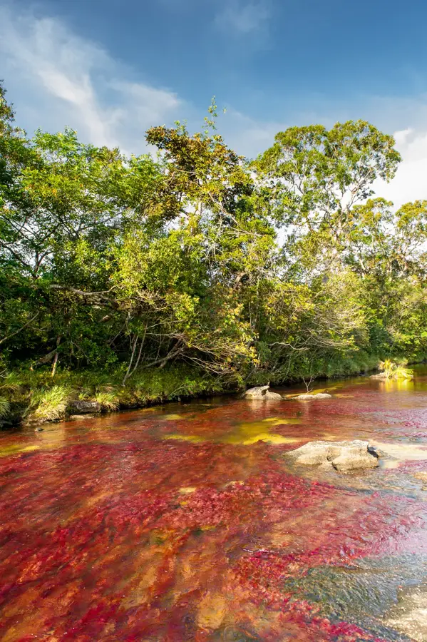
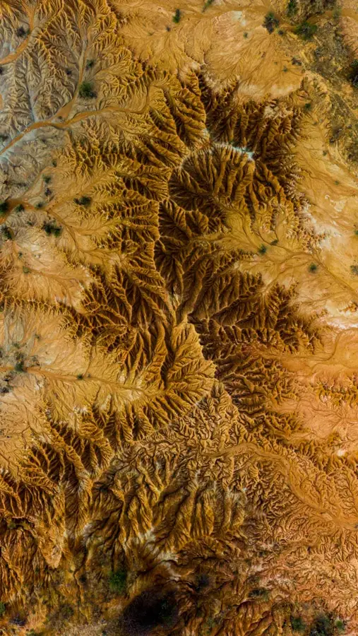
The Tatacoa Desert in the Huila department, covering an area of about 330 square kilometers, is Colombia's second-largest arid zone after the La Guajira peninsula. Geologically, it is not a true desert but a tropical dry forest that has been divided by erosion into two distinct zones: Cuzco, with its ochre-colored earth, and Los Hoyos, featuring gray formations. During the Tertiary period, this area was a humid region with rich flora and fauna, evidenced by numerous fossil finds of giant turtles and sloths. Due to its location near the equator and low light pollution, the Tatacoa is a premier site for astronomy and houses a modern observatory. Temperatures can rise above 40 degrees Celsius during the day, while cooling significantly at night. The vegetation is adapted to the dryness, consisting mainly of cacti and thorny shrubs, while the wildlife includes reptiles and birds of prey.
- Location: Colombia
- Top sights: Mirador Ventana · Los Hoyos - Desierto Gris · Los Hoyos
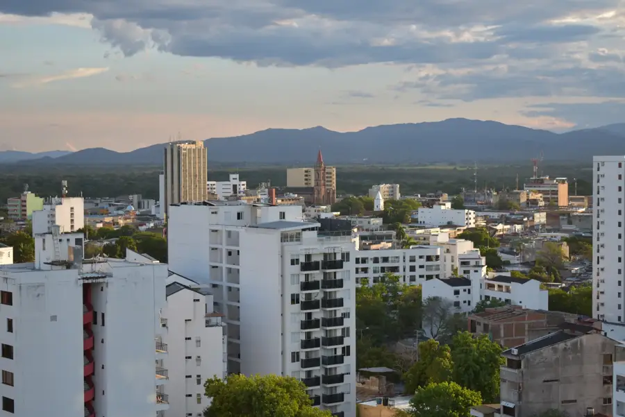
- Nearby: Girardot (46 km)
📋 Practical info
Geography
Facts
- The desert covers an area of 330 square kilometers.
- It lies in the rain shadow of the Central and Eastern Cordilleras.
- In Cuzco, temperatures often reach 40 to 45 degrees Celsius.
- Fossils of animals over 15 million years old have been found here.
- The observatory takes advantage of the 360-degree view of the sky.
- The gray 'Los Hoyos' zone contains volcanic ash deposits.
Explore nearby
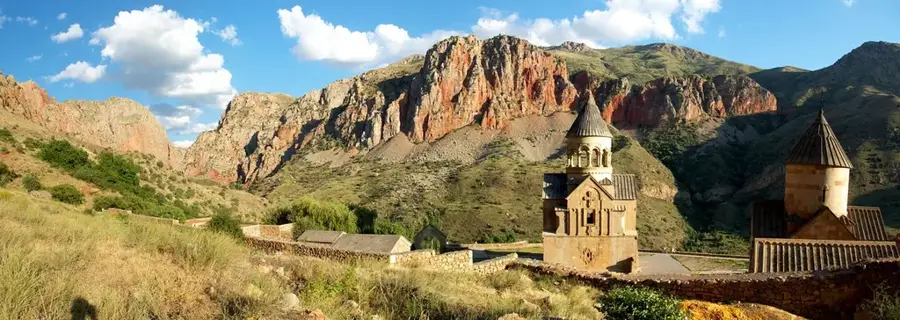
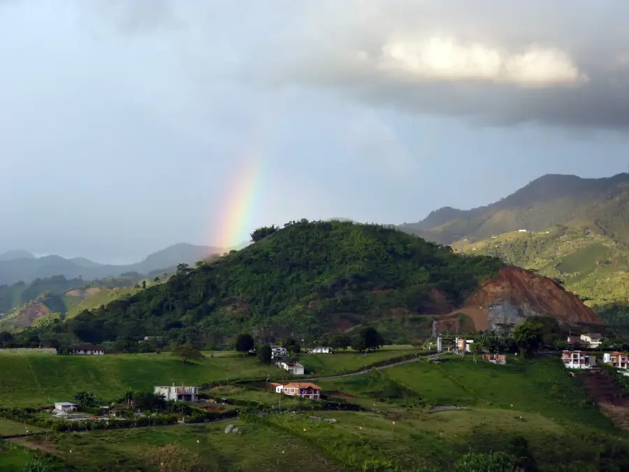
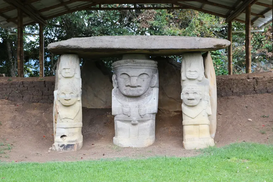
Notable places around
Route planner — Car & Motorhome
Where do you start? We build the route here, with stops and country notes along the way.
© OpenStreetMap contributors · OpenRouteService
Sights in the town Tatacoa Desert (6)
Sights nearby
Frequently asked questions
Is the Tatacoa Desert a true desert?
Why should you be there at night?
What colors does the desert have?
How hot does it get there?
How do you reach the desert?
Tatacoa Desert: where is it located?
Tatacoa Desert: what is there to see?
Tatacoa Desert: why is it worth visiting?

Nearby cities
History & landmarks
More places