Plizio Visual Lab
Serranía del Baudó
Weather…
Water temperature…
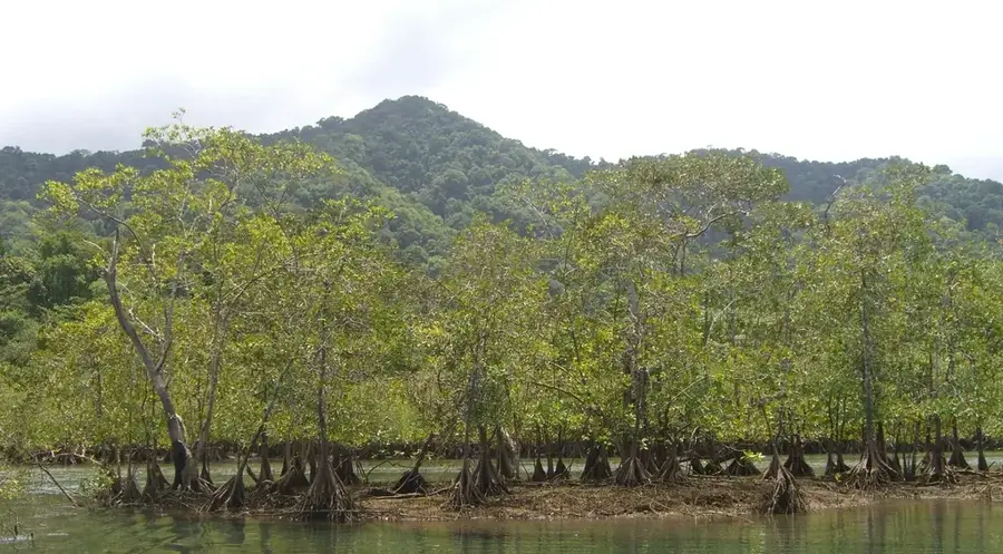
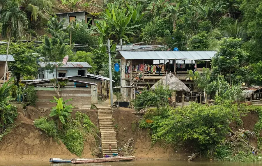
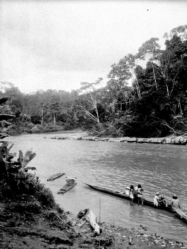
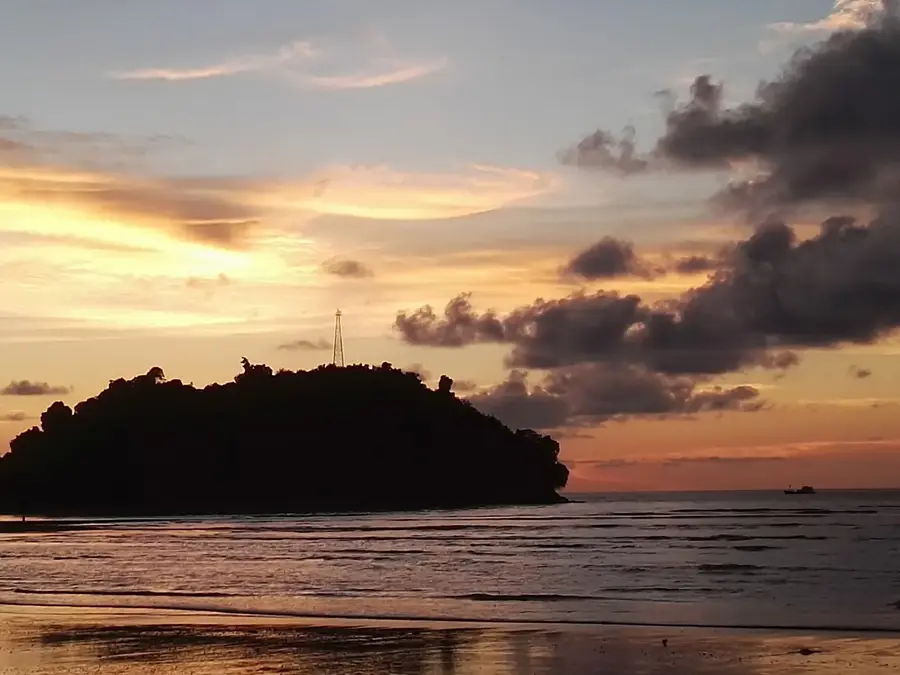
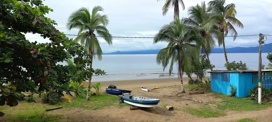
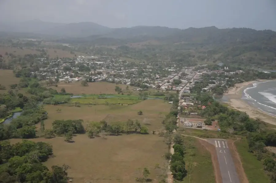
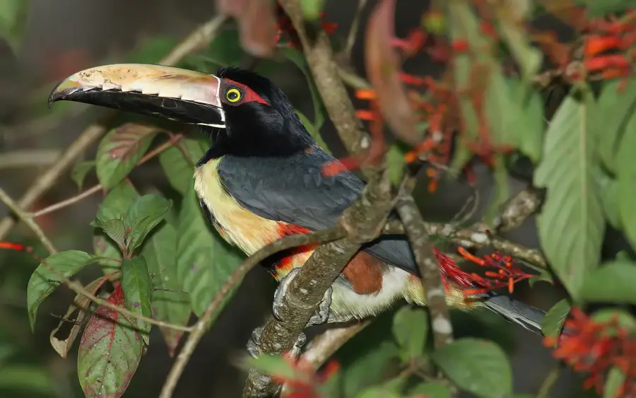
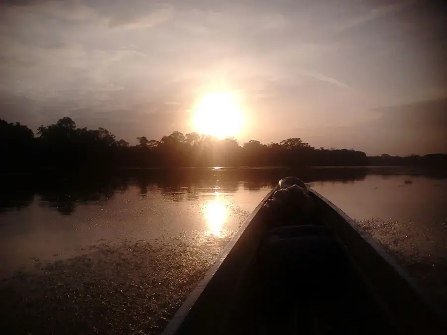
Serranía del Baudó is an isolated mountain range on the Pacific coast of Colombia in the department of Chocó. Geologically, it is younger than the Andes and is often considered a continuation of the Serranía del Darién, which connects Panama and Colombia. The mountain range rises directly from the sea and reaches altitudes of up to 1,800 meters at Alto del Buey. Due to its location in one of the wettest regions in the world, the Serranía is almost entirely covered by extremely dense tropical rainforest. This wilderness hosts an enormous biodiversity, including many species that have barely been scientifically researched. The coastal areas of the Serranía are characterized by pristine beaches and estuaries, which are important nesting grounds for sea turtles. The region is sparsely populated, mainly by indigenous communities such as the Emberá and Afro-Colombian groups, who traditionally live from fishing and small-scale agriculture. The difficult topography and dense vegetation have resulted in a lack of road connections, making the Serranía one of the best-preserved yet most isolated ecosystems in Colombia. It plays a vital role as a biodiversity corridor between Central and South America.
- Location: Colombia
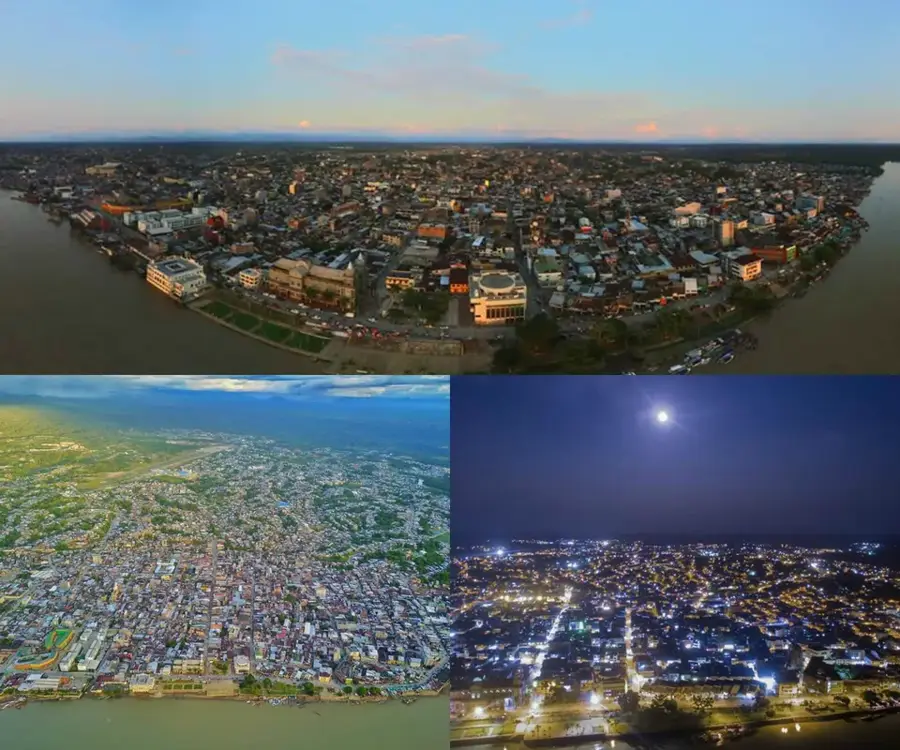
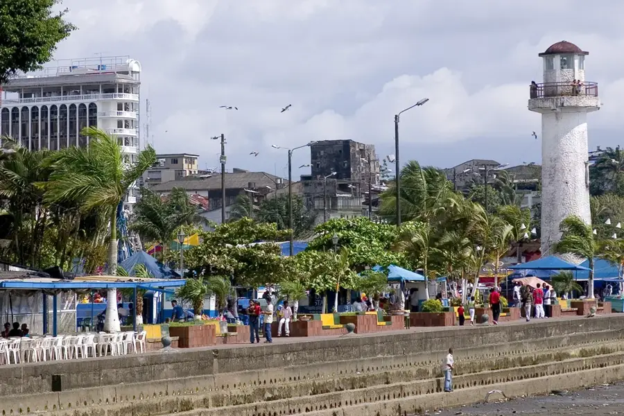
- Nearby: Nuquí (6 km)
Best time to visit & climate
The most pleasant time to visit is Jan–Mar.
| Jan | Feb | Mar | Apr | May | Jun | Jul | Aug | Sep | Oct | Nov | Dec | |
|---|---|---|---|---|---|---|---|---|---|---|---|---|
| Avg °C | 26 | 26 | 26 | 26 | 27 | 27 | 26 | 26 | 26 | 26 | 26 | 26 |
| Rain mm | 451 | 254 | 308 | 474 | 593 | 592 | 657 | 635 | 616 | 521 | 602 | 594 |
📋 Practical info
Geography
Facts
- Highest point: Alto del Buey (1,800 m)
- Geologically younger than the Andes
- Located in the department of Chocó
- Direct contact with the Pacific Ocean
- Important corridor for migration
- One of the wettest regions in the world
Explore nearby
Notable places around
Route planner — Car & Motorhome
Where do you start? We build the route here, with stops and country notes along the way.
© OpenStreetMap contributors · OpenRouteService
Sights nearby
Frequently asked questions
Where is Serranía del Baudó located?
What is the climate like there?
What makes this range geologically special?
Are there beaches there?
What activities are possible?
Serranía del Baudó: where is it located?
Serranía del Baudó: when is the best time to visit?
Serranía del Baudó: why is it worth visiting?

Nearby cities
History & landmarks
Nature
More places