Plizio Visual Lab
Pacific Ocean (Colombia)

Weather…
Water temperature…
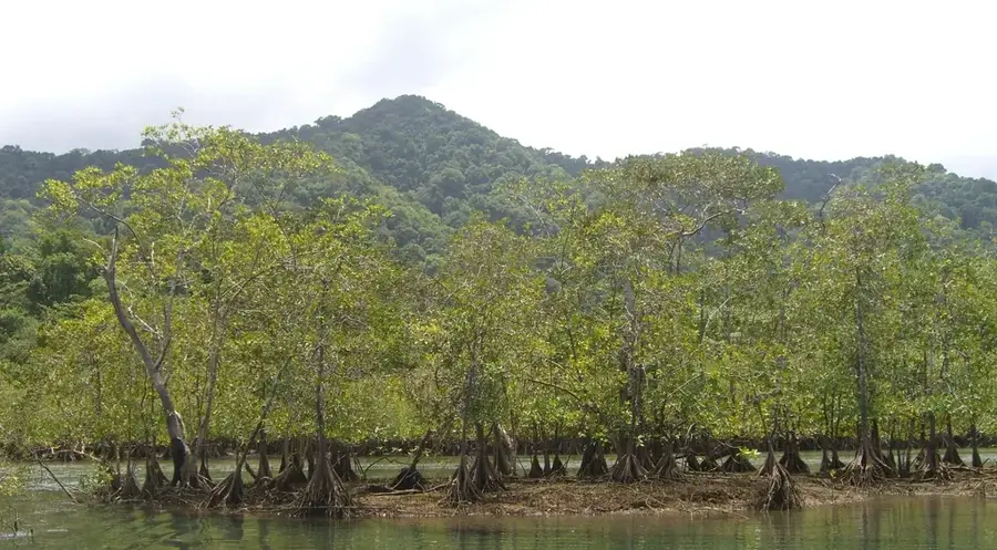
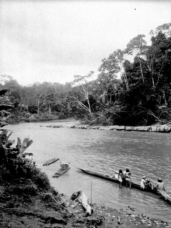
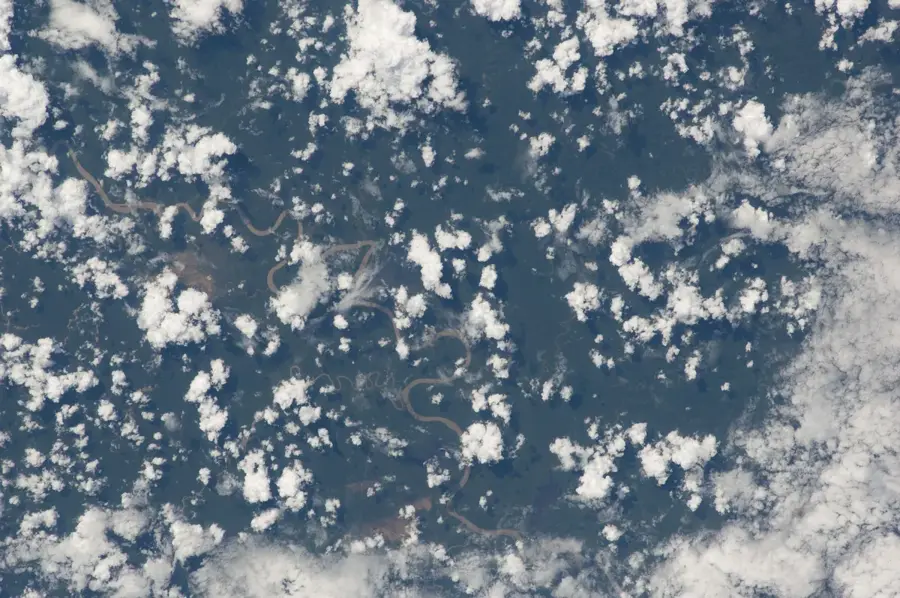
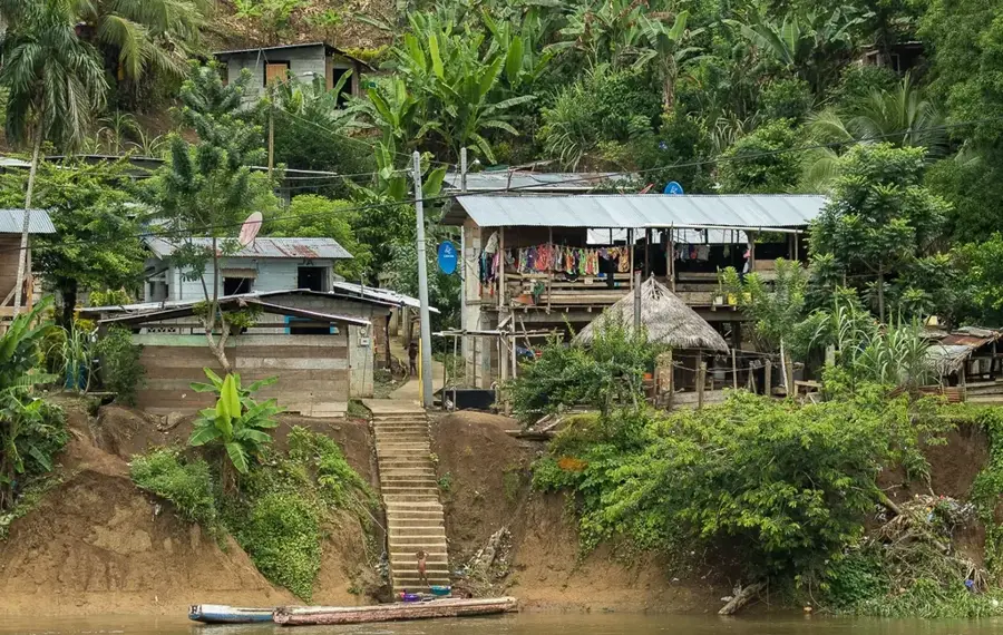
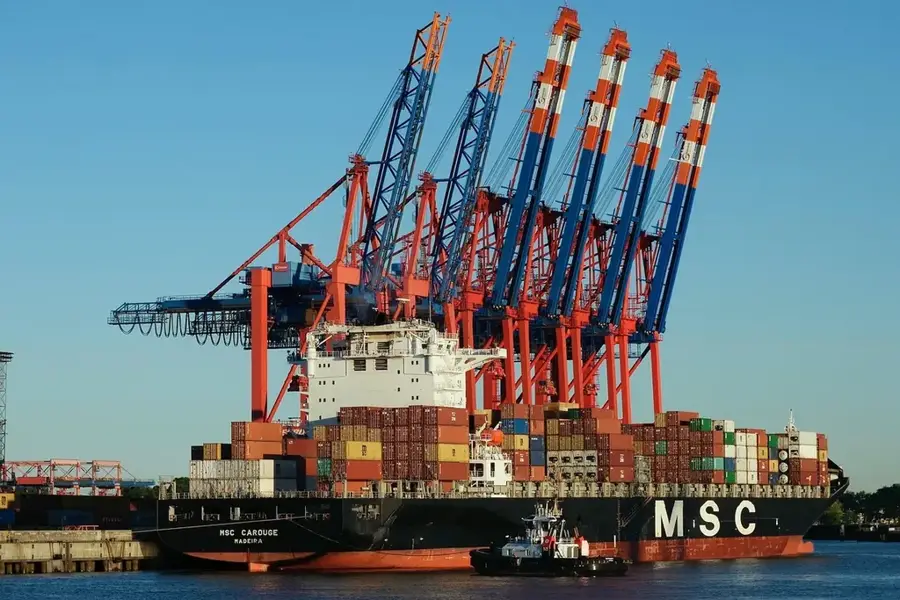
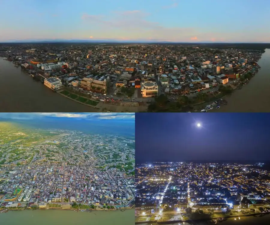
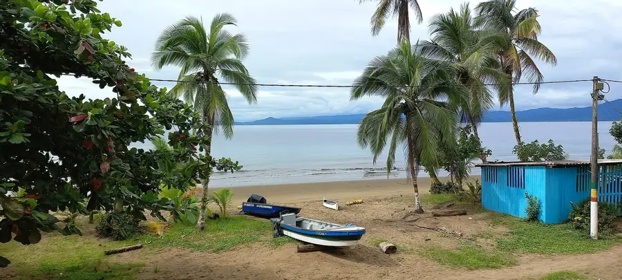
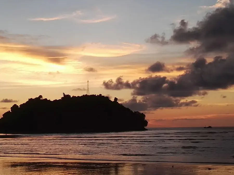
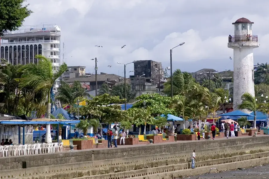
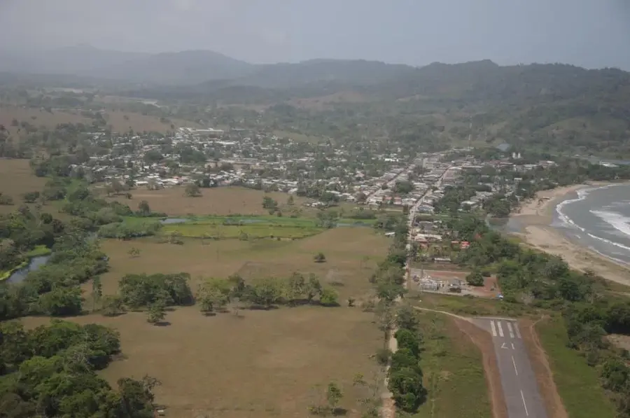
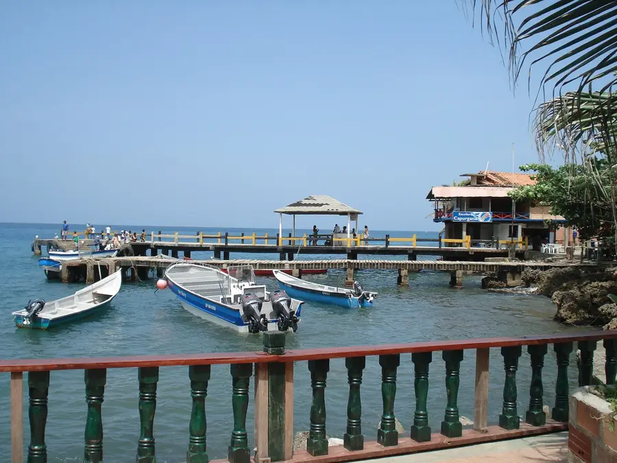
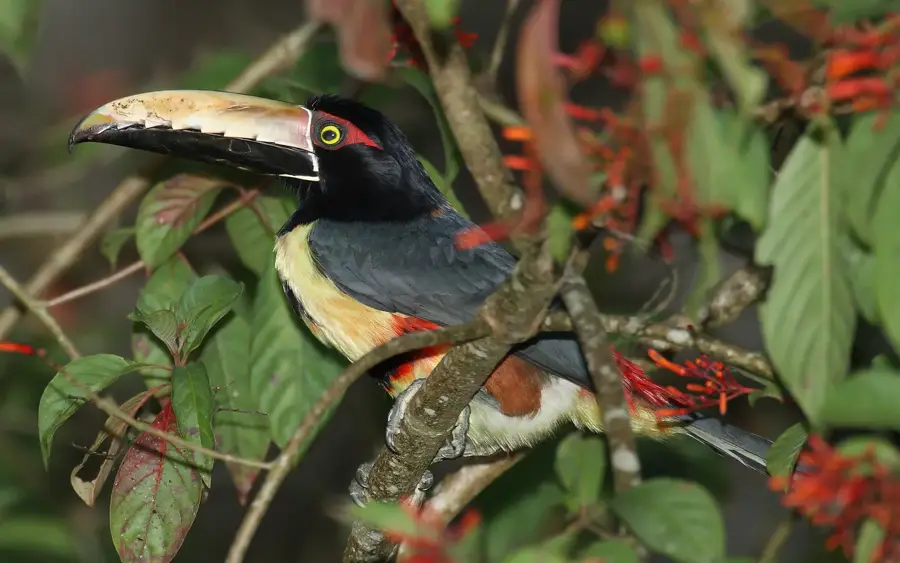
The Pacific Ocean extends along the western coast of Colombia for about 1,300 kilometers, encompassing the Chocó region, which is one of the wettest places on Earth. This coastline is defined by dense tropical rainforests, mangroves, and an extraordinary biodiversity both on land and in the water. Every year between July and November, humpback whales migrate from Antarctica to these warm waters to mate and give birth, making the region a significant ecological sanctuary. The most important port in the region is Buenaventura, which serves as the main gateway for Colombia's foreign trade with Asia. The Pacific zone also includes remote islands like Gorgona, a former prison that is now a national park, and Malpelo, a UNESCO World Heritage site renowned for its shark populations. The region is culturally strongly influenced by Afro-Colombian traditions, reflected in music, dance, and gastronomy. Despite its ecological wealth, the area remains largely untouched and difficult to access due to dense vegetation and the lack of developed road connections.
- Location: Colombia
- Top sights: Playa Jicaralito · Cabo Corrientes · Playa Jagua
- Nearby: Bahía Solano (21 km)
Best time to visit & climate
The most pleasant time to visit is Jan–Mar.
| Jan | Feb | Mar | Apr | May | Jun | Jul | Aug | Sep | Oct | Nov | Dec | |
|---|---|---|---|---|---|---|---|---|---|---|---|---|
| Avg °C | 26 | 26 | 26 | 26 | 27 | 27 | 26 | 26 | 26 | 26 | 26 | 26 |
| Rain mm | 451 | 254 | 308 | 474 | 593 | 592 | 657 | 635 | 616 | 521 | 602 | 594 |
📋 Practical info
Geography
Facts
- Coastline length of approx. 1,300 km
- Buenaventura port is the gateway to Asia
- Humpback whale migration July-November
- Gorgona Island is a national park
- Malpelo is a UNESCO World Heritage site
- Chocó is one of the wettest regions
Explore nearby
Notable places around
Route planner — Car & Motorhome
Where do you start? We build the route here, with stops and country notes along the way.
© OpenStreetMap contributors · OpenRouteService
Sights in the town Pacific Ocean (Colombia) (4)
Sights nearby
Frequently asked questions
What is the difference from the Caribbean?
When do the whales arrive?
Which places are well-known?
Can you go surfing?
Are there roads leading there?
Pacific Ocean (Colombia): where is it located?
Pacific Ocean (Colombia): what is there to see?
Pacific Ocean (Colombia): when is the best time to visit?
Pacific Ocean (Colombia): why is it worth visiting?

Nearby cities
History & landmarks
Nature
More places