Plizio Visual Lab
Yaviza Fort Ruins
Weather…
Water temperature…
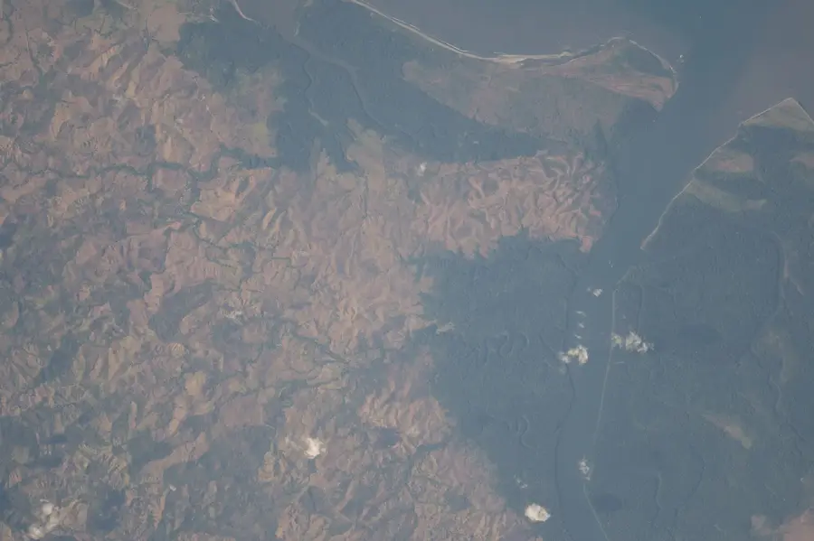
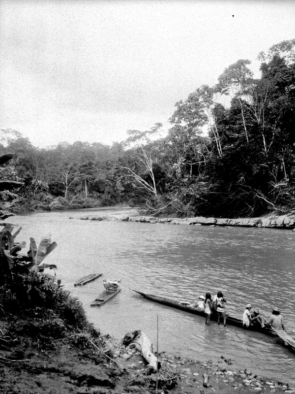
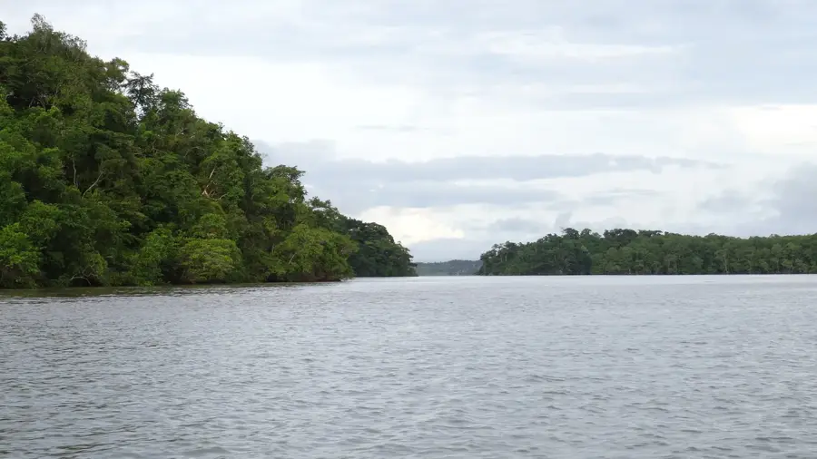
The ruins of the Yaviza Fort in Darién Province bear witness to the Spanish Crown's strategic efforts to secure access to the Isthmus from the east. Built in the 18th century, the fort served primarily as protection against pirate raids and incursions by foreign powers, such as the Scots who had previously attempted to establish a colony in the Darién jungle. Yaviza is situated at the confluence of the Chucunaque and Tuira rivers, making it a critical checkpoint for inland trade. The fort was constructed of stone and mortar, but today only portions of the walls and foundations remain visible due to the aggressive tropical climate and years of neglect. Yaviza also marks the point where the Pan-American Highway ends before the Darién Gap, lending the town modern geographic significance. The ruins are a reminder of the isolated and dangerous colonial borderlands where soldiers battled disease, heat, and attacks. Today, Yaviza is an important trading hub for the local indigenous population and border residents.
Best time to visit & climate
The most pleasant time to visit is Jan–Mar.
| Jan | Feb | Mar | Apr | May | Jun | Jul | Aug | Sep | Oct | Nov | Dec | |
|---|---|---|---|---|---|---|---|---|---|---|---|---|
| Avg °C | 25 | 26 | 27 | 26 | 25 | 25 | 25 | 25 | 25 | 24 | 24 | 25 |
| Rain mm | 81 | 39 | 99 | 223 | 288 | 262 | 270 | 244 | 270 | 251 | 254 | 196 |
📋 Practical info
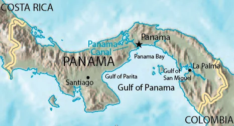
Geography
Facts
- The fort was built in 1760 to defend against Cuna Indians and pirates.
- It is located at the strategic junction of the Tuira and Chucunaque rivers.
- Yaviza is the southernmost point of the Pan-American Highway in Central America.
- The Spaniards named the fort 'Fuerte de San Jerónimo de Yaviza'.
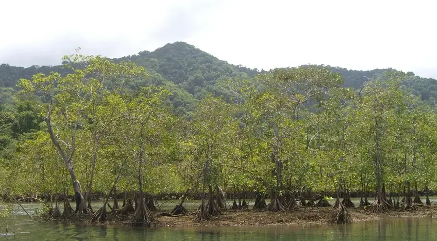
- The ruins are now almost completely overgrown by the surrounding jungle.
- Yaviza serves as the capital of the Pinogana District in Darién Province.
Explore nearby
Notable places around
Route planner — Car & Motorhome
Where do you start? We build the route here, with stops and country notes along the way.
© OpenStreetMap contributors · OpenRouteService
Sights in the town Yaviza Fort Ruins (1)
Sights nearby
Frequently asked questions
Where is the fort located?
Is it safe to visit?
Is a guide needed?
What remains of the fort?
Is the trip worth it?
Yaviza Fort Ruins: where is it located?
Yaviza Fort Ruins: when is the best time to visit?
Yaviza Fort Ruins: why is it worth visiting?

Nearby cities
History & landmarks
Nature

More places