Plizio Visual Lab
Ocetá Páramo
Weather…
Water temperature…
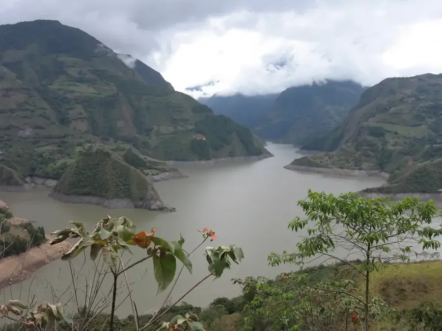
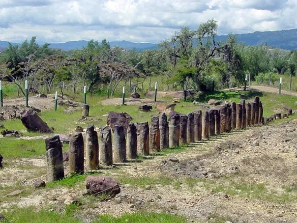
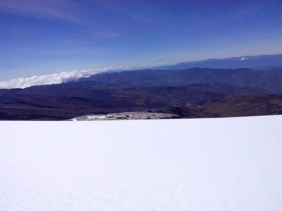
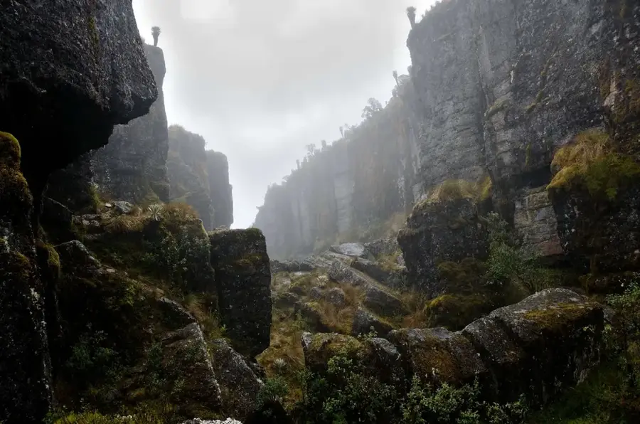
The Ocetá Páramo is considered one of the best-preserved high-altitude ecosystems in the world, located in the Eastern Cordillera of the Colombian Andes at an altitude of 3,000 to 4,000 meters above sea level. It spans the territory of the municipality of Monguí in the Boyacá department and is characterized by its unique flora, particularly the numerous Espeletia plants, also known as frailejones. These plants play a crucial role in the region's water balance by absorbing moisture from the clouds and releasing it into the soil in a controlled manner. The area's geological formations include impressive rock structures such as the 'Ciudad de Piedra', a natural arrangement of monoliths. In addition to its ecological importance, the area also has historical relevance, as it was once sacred land for the indigenous Muisca people. The climate is marked by low temperatures and frequent fog, which enhances the mystical atmosphere of this alpine tundra.
- Location: Colombia
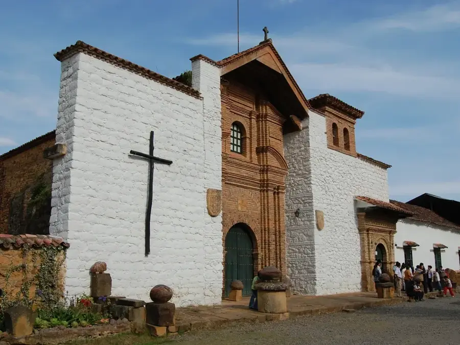
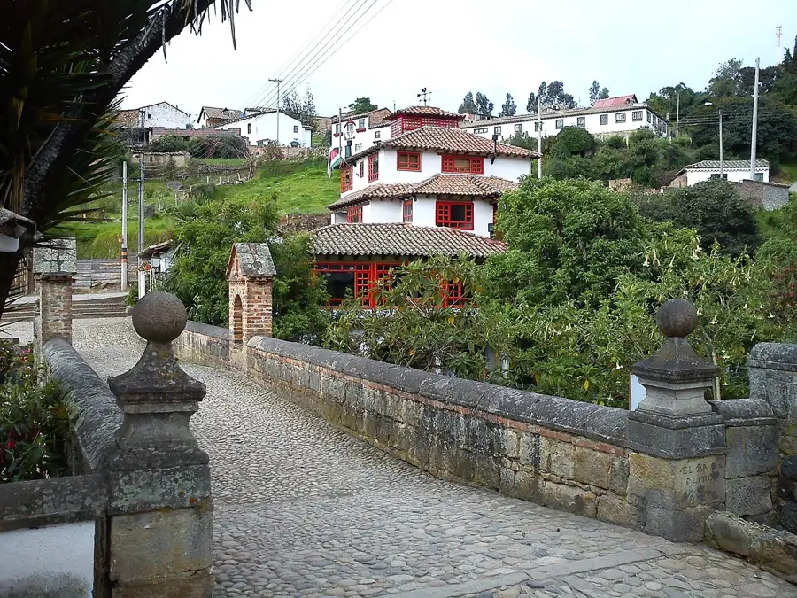
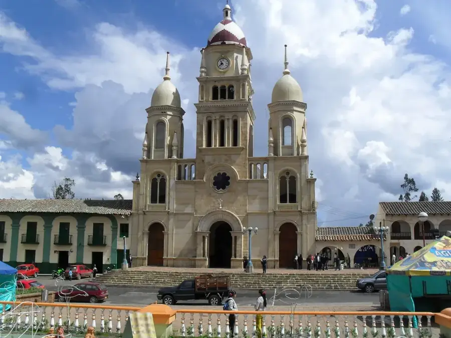
- Top sights: Museo La Troja · Artesanias de Boyaca · Museo Diocesano de Arte Religioso Julio Franco Arango
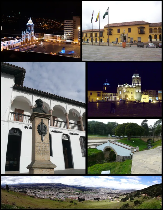
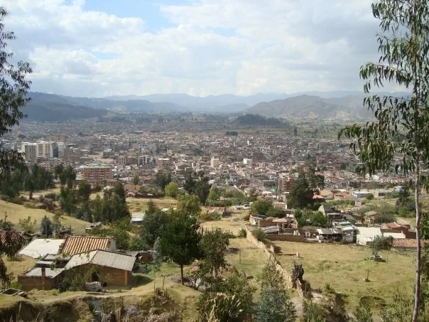
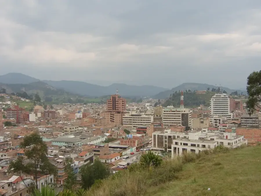
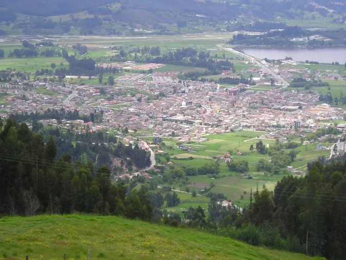
- Nearby: Duitama (5 km)
Best time to visit & climate
The most pleasant time to visit is Jan, Feb, Dec.
| Jan | Feb | Mar | Apr | May | Jun | Jul | Aug | Sep | Oct | Nov | Dec | |
|---|---|---|---|---|---|---|---|---|---|---|---|---|
| Avg °C | 13 | 14 | 14 | 14 | 13 | 13 | 12 | 12 | 13 | 13 | 13 | 13 |
| Rain mm | 38 | 56 | 129 | 212 | 239 | 193 | 173 | 149 | 130 | 203 | 175 | 91 |
📋 Practical info
Geography
Facts
- The maximum altitude of the area is approximately 4,000 meters.
- Monguí, the base for treks, is located at 2,900 meters.
- Frailejones grow extremely slowly, often only 1 centimeter per year.
- The 'City of Stone' (Ciudad de Piedra) consists of limestone rocks.
- The area is a vital water reservoir for the Boyacá department.
- It was once part of the territory of the Muisca indigenous kingdom.
Explore nearby
Notable places around
Route planner — Car & Motorhome
Where do you start? We build the route here, with stops and country notes along the way.
© OpenStreetMap contributors · OpenRouteService
Sights in the town Ocetá Páramo (17)
Museo Diocesano de Arte Religioso Julio Franco Arango🏛 museum
A museum preserving colonial Catholic art, ecclesiastical vestments, and historic religious artifacts from the Boyacá region.
Sights nearby
Frequently asked questions
Is Páramo de Ocetá considered one of the most beautiful?
From which town does the hike start?
What is the 'Stone City' (Ciudad de Piedra)?
How long does the hike take?
Which plants are particularly beautiful there?
Ocetá Páramo: where is it located?
Ocetá Páramo: what is there to see?
Ocetá Páramo: when is the best time to visit?
Ocetá Páramo: why is it worth visiting?

Nearby cities
History & landmarks
Nature
More places