Plizio Visual Lab
Conguillío National Park
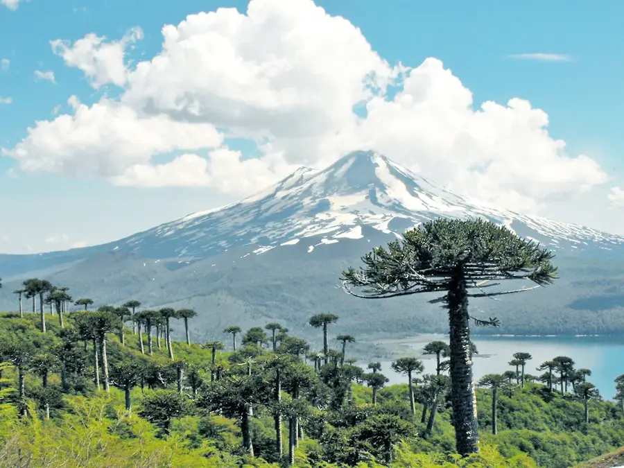
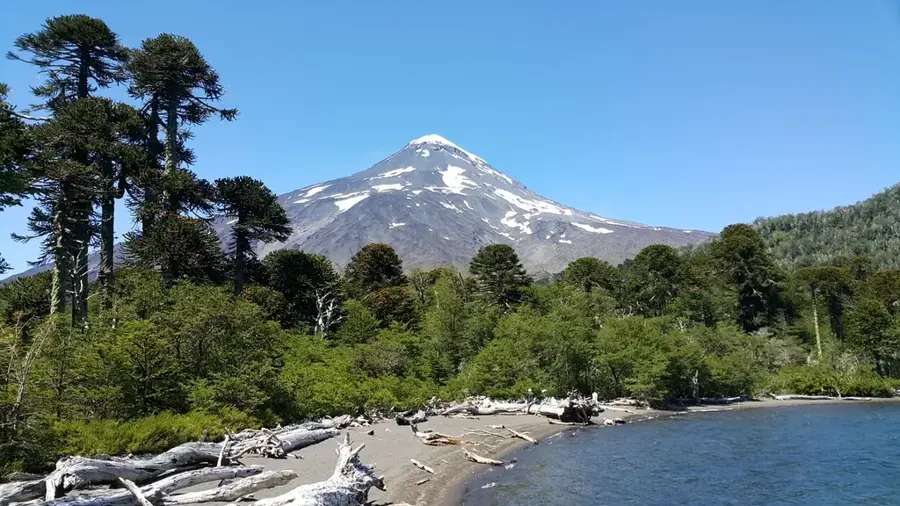
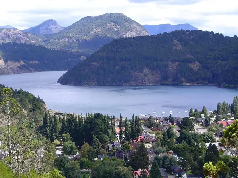
Conguillío National Park is located in the Araucanía Region of the Chilean Andes and is famous for its prehistoric-looking landscapes. Established in 1950, the park now spans roughly 60,832 hectares. Its most defining feature is the active Llaima Volcano, one of South America's most active volcanoes, whose lava flows have shaped the terrain over millennia. Amidst these volcanic remnants, dense forests of Araucaria (Araucaria araucana), or monkey puzzle trees, thrive, with some specimens living for up to 1,000 years. The combination of solidified lava, snow-capped peaks, and deep blue lakes like Lake Conguillío creates a unique aesthetic that has served as a backdrop for dinosaur documentaries. The park has numerous hiking trails, including the famous 'Sierra Nevada' route, which provides spectacular views of the volcano and lake. The region also holds great cultural significance for the indigenous Mapuche people, for whom the Llaima and the Araucaria are sacred symbols of their identity and history.
- Location: Chile
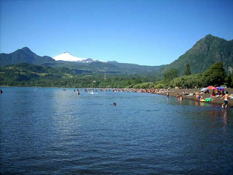
- Top sights: Playa Curacautín · Araucaria Madre Milenaria · Las Mellizas
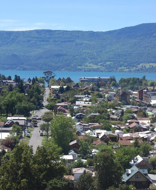
- Nearby: Pucón (40 km)
Best time to visit & climate
The most pleasant time to visit is Jan, Feb, Dec.
| Jan | Feb | Mar | Apr | May | Jun | Jul | Aug | Sep | Oct | Nov | Dec | |
|---|---|---|---|---|---|---|---|---|---|---|---|---|
| Avg °C | 13 | 13 | 10 | 6 | 3 | 1 | -1 | 1 | 3 | 5 | 8 | 10 |
| Rain mm | 25 | 27 | 39 | 64 | 113 | 164 | 136 | 116 | 76 | 71 | 49 | 37 |
📋 Practical info
Geography
Facts
- Established as a national park in 1950.
- The Llaima Volcano stands at 3,125 meters high.
- Spans a total area of 60,832 hectares.
- Home to millenarian Araucaria (monkey puzzle) forests.
- Filming location for 'Walking with Dinosaurs' documentary.
- Part of the UNESCO Araucarias Biosphere Reserve.
Explore nearby
Notable places around
Route planner — Car & Motorhome
Where do you start? We build the route here, with stops and country notes along the way.
© OpenStreetMap contributors · OpenRouteService
Sights in the town Conguillío National Park (3)
Sights nearby
Frequently asked questions
Why is the park named Conguillío?
When is the best time to visit?
Can you swim in the park?
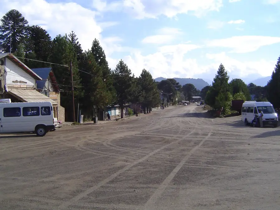
How do you get to the park?
What should be considered?
Conguillío National Park: where is it located?
Conguillío National Park: what is there to see?
Conguillío National Park: when is the best time to visit?
Conguillío National Park: why is it worth visiting?

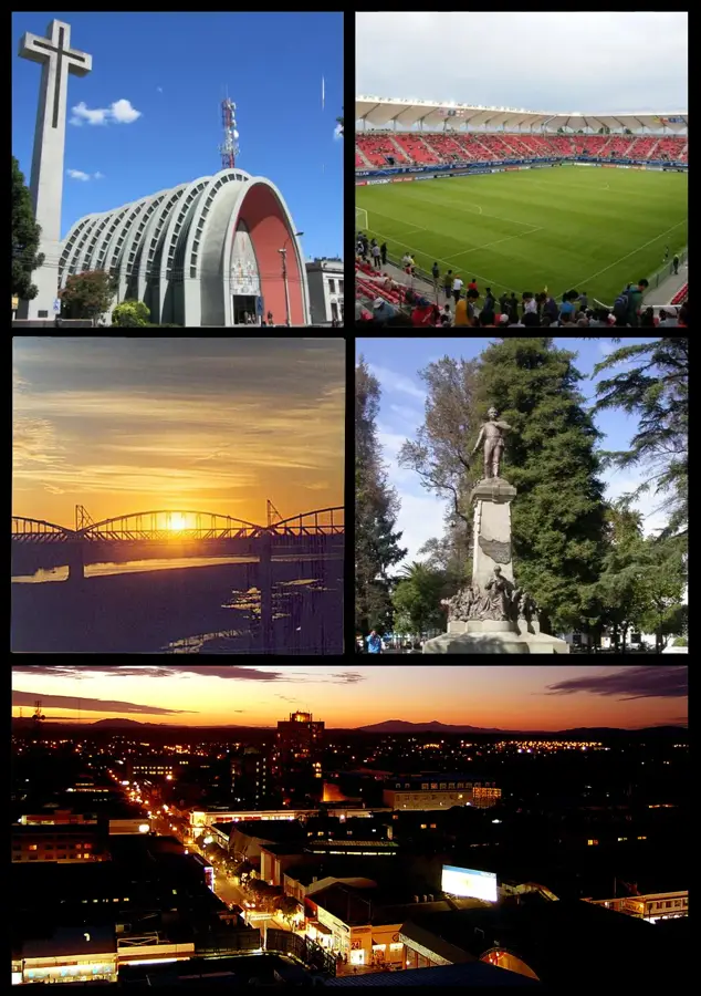
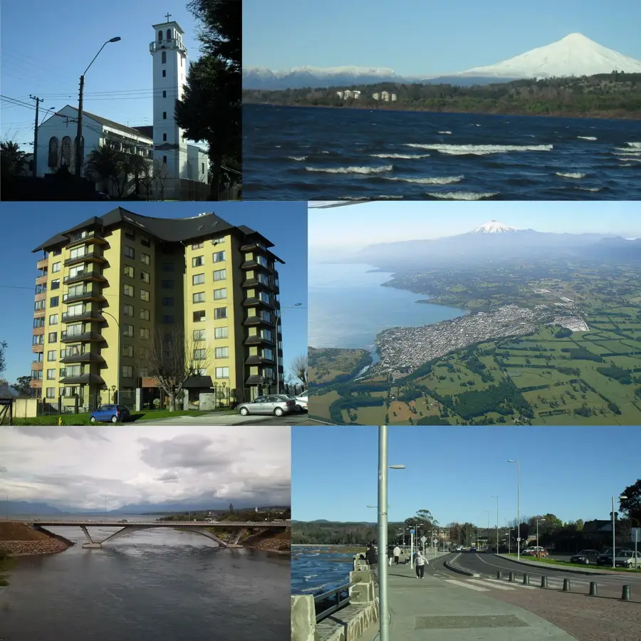
Nearby cities
Nature

More places