Plizio Visual Lab
Bamingui River

Weather…
Water temperature…
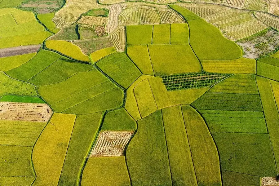
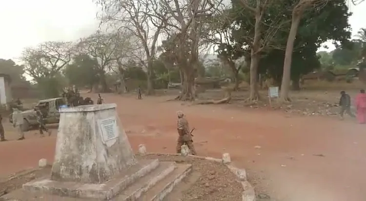
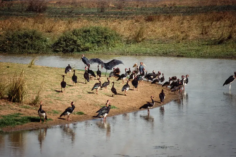
The Bamingui River is a central hydrological element in the northern Central African Republic and the namesake of the Bamingui-Bangoran National Park. It originates in the central highlands and flows in a northwestern direction, traversing vast, pristine wilderness areas. The river is crucial for the survival of numerous wildlife species in the region, including elephants, lions, and various antelope species that come to its banks during the dry season. The environment surrounding the Bamingui is characterized by typical Sudano-Guinean savanna, which transitions into dense gallery forests near the river. Historically, the region was a refuge for many animal species but has been challenged in recent decades by poaching and instability. Nevertheless, the Bamingui remains a symbol of the untamed nature of the African continent. It later joins the Bangoran to continue as the Bamingui River, which eventually belongs to the Chari system. Researchers value the river for its importance in studying the limnic ecosystems of Central Africa.
- Location: Central African Republic
- Nearby: Kaga-Bandoro (64 km)
Best time to visit & climate
The most pleasant time to visit is Jan, Nov, Dec.
| Jan | Feb | Mar | Apr | May | Jun | Jul | Aug | Sep | Oct | Nov | Dec | |
|---|---|---|---|---|---|---|---|---|---|---|---|---|
| Avg °C | 27 | 31 | 31 | 30 | 29 | 27 | 26 | 25 | 25 | 26 | 26 | 26 |
| Rain mm | 2 | 8 | 42 | 74 | 160 | 165 | 228 | 247 | 237 | 168 | 29 | 0 |
📋 Practical info
Geography
Facts
- The length of the Bamingui is approximately 450 kilometers.
- The Bamingui-Bangoran National Park was established as early as 1933.
- It is an important tributary to the Chari River system.
- The river serves as a natural watering hole for over 40 mammal species.
- Expeditions to study the West African crocodile have been conducted in the region.
- The average width of the river in its middle reaches is about 50 meters.
Explore nearby
Notable places around
Route planner — Car & Motorhome
Where do you start? We build the route here, with stops and country notes along the way.
© OpenStreetMap contributors · OpenRouteService
Sights nearby
Frequently asked questions
Does it flow through a national park?
Can you see big game?
Is poaching a problem?
What is the terrain like?
Do you need a guide?
Bamingui River: where is it located?
Bamingui River: when is the best time to visit?
Bamingui River: why is it worth visiting?

Nearby cities
History & landmarks
Nature
More places