Plizio Visual Lab
Kabo
ℹ️Practical info — Kabo
▾
🌤 Weather — 5 days
📍 Nearby
Sights nearby
💡 Tips
- Given its location near the Chad border, always carry your identification and be prepared for potential security checkpoints.
- Travel during daylight hours only, as road conditions can be unpredictable and lighting is poor at night.
- French and Sango are the main languages; learning a few basic phrases in Sango goes a long way with locals.
- Ensure you have enough CFA francs, as banking facilities are practically non-existent for tourists.
🍽 Food
Look for locally sourced river fish, often grilled or stewed, at small street-side eateries.
A staple cassava-based dough usually served with a hearty peanut or okra sauce.
Common in the region, but always ensure it is thoroughly cooked and sourced from typical local vendors.
🛍 Shopping · 🧘 Quiet spots
Explore the spirited local market where goods from Chad and CAR are traded daily.
Colorful West and Central African print fabrics can be found at independent stalls in the center.
Take a quiet stroll along the nearby river, especially peaceful in the late afternoon.
The paths leading out of town offer a glimpse into the tranquil agricultural life of the region.
Water temperature…
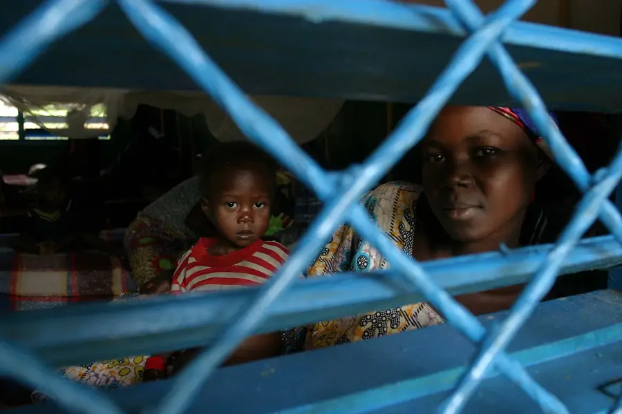
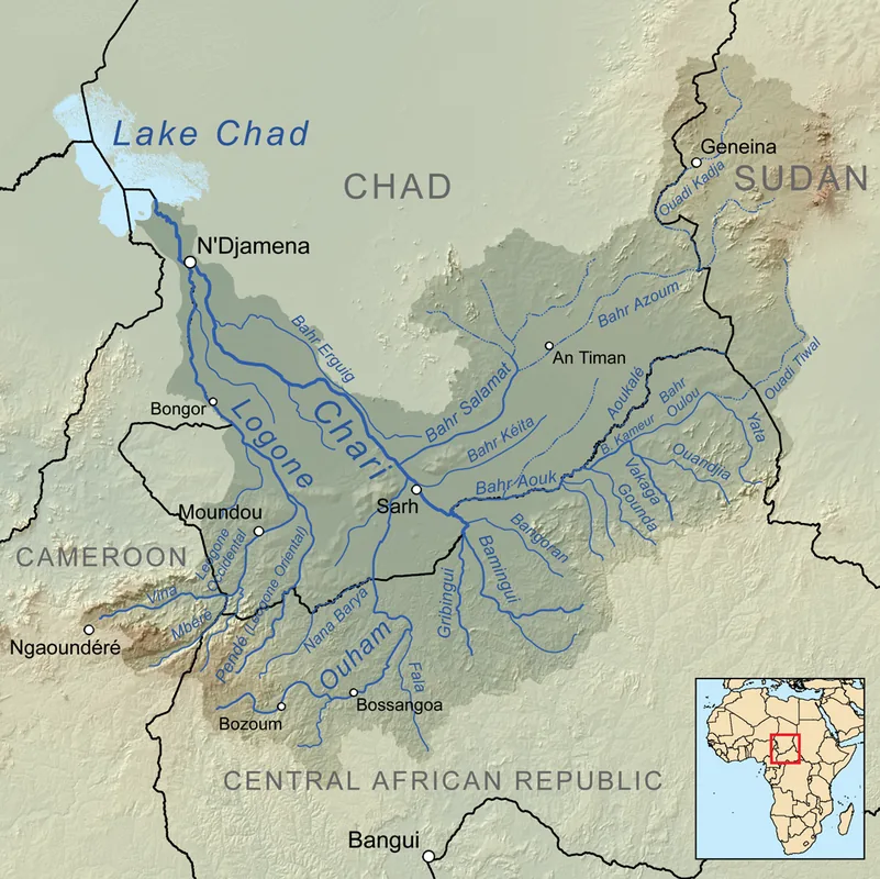
Kabo is a strategically located border town in the northern Central African Republic, situated near the frontier with Chad. Due to its position, the town serves as a crucial trading post for cross-border commerce and livestock exports. The landscape around Kabo is characterized by drier savannas, making it a convenient grazing ground for both nomadic and sedentary pastoralists. Historically, the town was a significant stop for caravans and later became an administrative outpost for monitoring the northern border. Economic life centers on the large weekly market, where livestock, grains, and artisanal goods are traded. In recent years, however, Kabo has also been a flashpoint for instability and humanitarian crises, resulting in a strong presence of international aid organizations. The ethnic composition is diverse, with groups from both Chad and CAR converging here, creating a bustling but often tense cultural environment.
- Location: Central African Republic
- Nearby: Batangafo (56 km)
- Population: ~16.279 (2024)
Best time to visit & climate
The most pleasant time to visit is Jan, Nov, Dec.
| Jan | Feb | Mar | Apr | May | Jun | Jul | Aug | Sep | Oct | Nov | Dec | |
|---|---|---|---|---|---|---|---|---|---|---|---|---|
| Avg °C | 27 | 30 | 31 | 31 | 29 | 27 | 26 | 25 | 25 | 26 | 26 | 26 |
| Rain mm | 1 | 5 | 38 | 51 | 137 | 174 | 230 | 240 | 235 | 145 | 20 | 0 |
Geography
Facts
- Located in the Ouham prefecture near the Chadian border.
- A central hub for the export of cattle to neighboring countries.
- Home to a significant population of internally displaced persons.
- Renowned for its lively and diverse cross-border market.
- Positioned in the transitional Sahelian zone with semi-arid weather.
- A major operations base for international NGOs and relief agencies.
Explore nearby
Notable places around
Route planner — Car & Motorhome
Where do you start? We build the route here, with stops and country notes along the way.
© OpenStreetMap contributors · OpenRouteService
Frequently asked questions
Where is Kabo located?
What is the security situation in Kabo?
Is there medical care?
What is produced in Kabo?
Is the border to Chad open?
Kabo: where is it located?
Kabo: when is the best time to visit?
Kabo: why is it worth visiting?

Nearby cities

Nature
More places