Plizio Visual Lab
Dékoa
ℹ️Practical info — Dékoa
▾
🌤 Weather — 5 days
📍 Nearby
Sights nearby
💡 Tips
- Travel on the region's dirt roads strictly in a reliable four-wheel drive (4x4) vehicle.
- Bring a comprehensive first aid kit and reliable water purification methods.
- Always inquire about current security conditions in the Kémo prefecture before departing.
- Introduce yourself to local village elders or authorities upon arrival as a sign of respect.
🍽 Food
Try this dense paste often served with a rich peanut or leaf sauce.
Look for fresh fish traditionally roasted over an open fire by locals.
Buy fresh bananas and papayas directly at the small roadside stalls.
🛍 Shopping · 🧘 Quiet spots
Ask locals about traditionally made, durable mats or baskets.
Buy local vegetables and roots directly from the farmers at the street market.
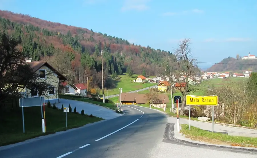
Walk to the edge of the settlement to observe the dense forest and its peaceful nature.
Seek out one of the open clearings to find some quiet away from the small center.
Water temperature…
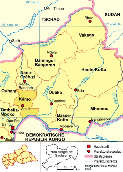
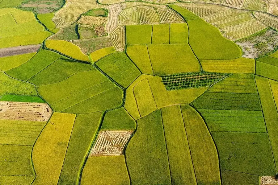
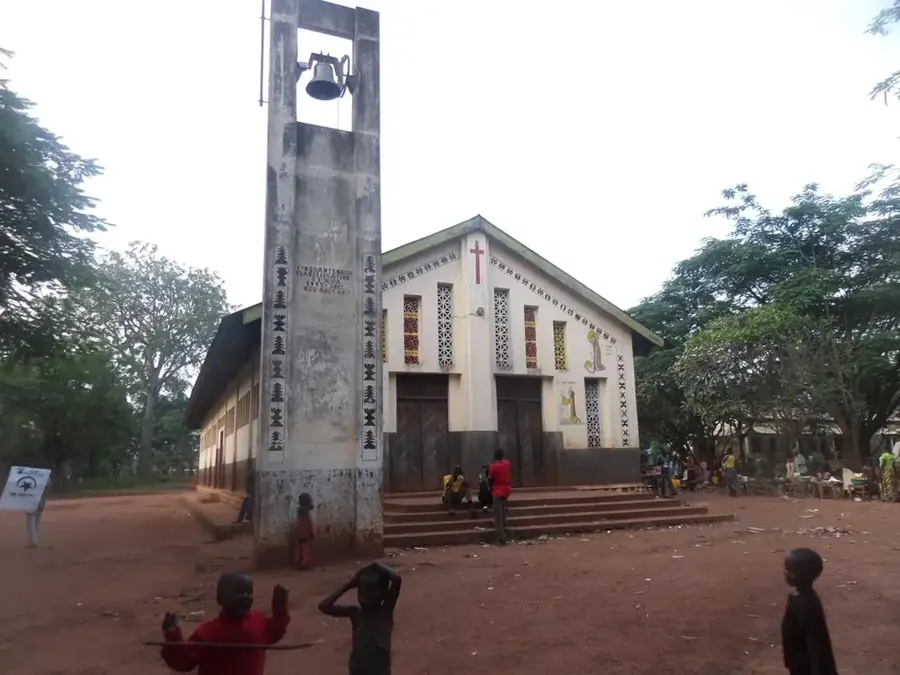
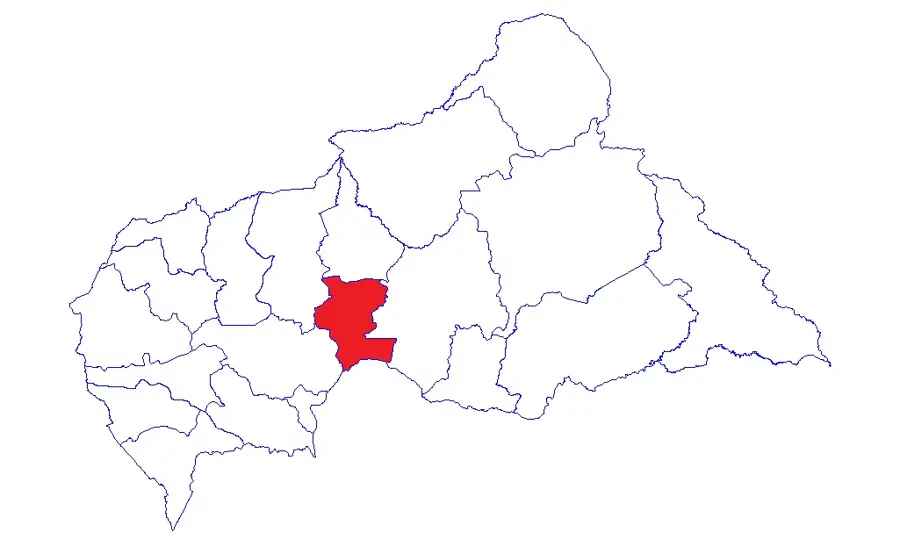
Dékoa is a central town in the Kémo prefecture of the Central African Republic, serving as a vital transport hub between the south and north of the country. The town is situated on a strategically significant road connection linking the capital, Bangui, to the northern regions, providing it with constant economic dynamism. Geographically, Dékoa is surrounded by an open savanna landscape, ideally suited for cattle ranching and the large-scale cultivation of staple crops such as cassava and millet. In the history of the Central African Republic, Dékoa has often functioned as an administrative outpost and, due to its location, has frequently been a site of regional political developments. The local economy relies on transit trade and agricultural production, with its weekly market being a central attraction for the entire region. Despite the challenges posed by past conflicts, Dékoa remains a symbol of the rural population's resilience and an indispensable stop for travelers heading north.
- Location: Central African Republic
- Nearby: Sibut (67 km)
- Population: ~19.639 (2023)
Best time to visit & climate
The most pleasant time to visit is Jan, Nov, Dec.
| Jan | Feb | Mar | Apr | May | Jun | Jul | Aug | Sep | Oct | Nov | Dec | |
|---|---|---|---|---|---|---|---|---|---|---|---|---|
| Avg °C | 27 | 30 | 30 | 29 | 28 | 26 | 25 | 24 | 25 | 25 | 25 | 26 |
| Rain mm | 4 | 15 | 65 | 87 | 129 | 151 | 217 | 218 | 213 | 173 | 34 | 1 |
Geography
Facts
- Dékoa is a key junction on the route between Bangui and Kaga-Bandoro.
- The town is located in the Kémo prefecture in the center of the country.
- The region is well-known for intensive cattle ranching.
- The town serves as the administrative seat of the Dékoa sub-prefecture.
- It is situated approximately 250 km north of the capital, Bangui.
- Dékoa is a meeting point for important agricultural trade routes.
Explore nearby
Notable places around
Route planner — Car & Motorhome
Where do you start? We build the route here, with stops and country notes along the way.
© OpenStreetMap contributors · OpenRouteService
Frequently asked questions
Where is Dékoa located?
What is the significance of Dékoa?
What is the security situation?
Is there a market there?
What is the terrain like?
Dékoa: where is it located?
Dékoa: when is the best time to visit?
Dékoa: why is it worth visiting?

Nearby cities

History & landmarks
More places