Plizio Visual Lab
Monte Trigo
Weather…
Water temperature…
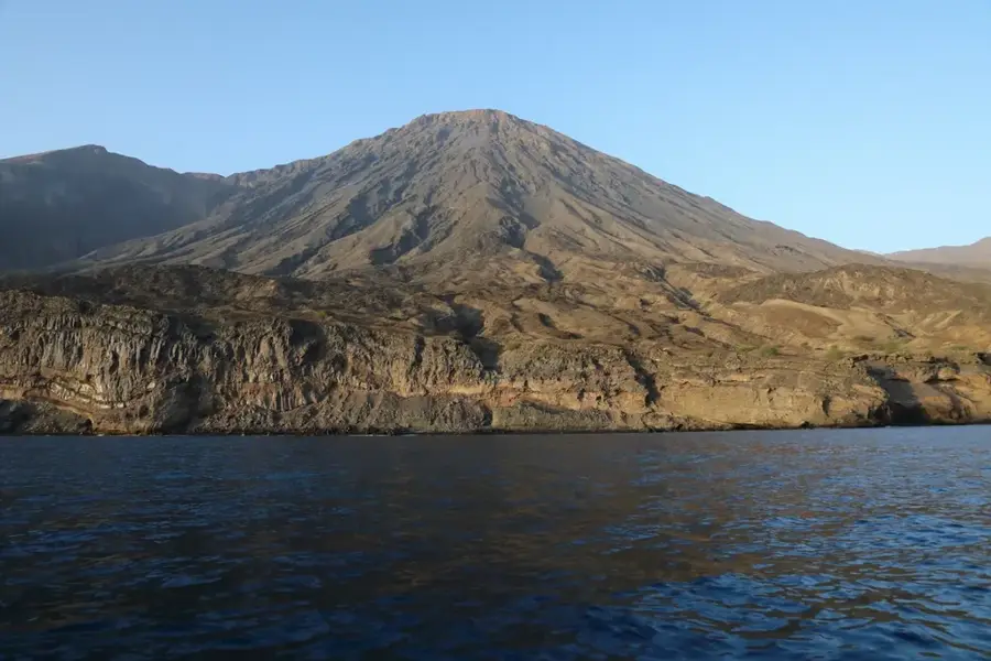
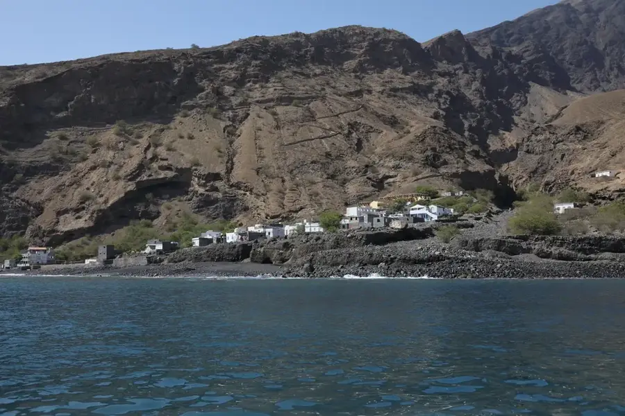
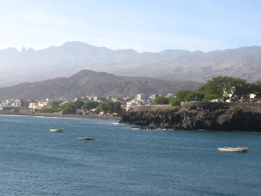
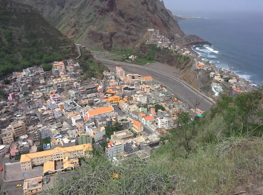
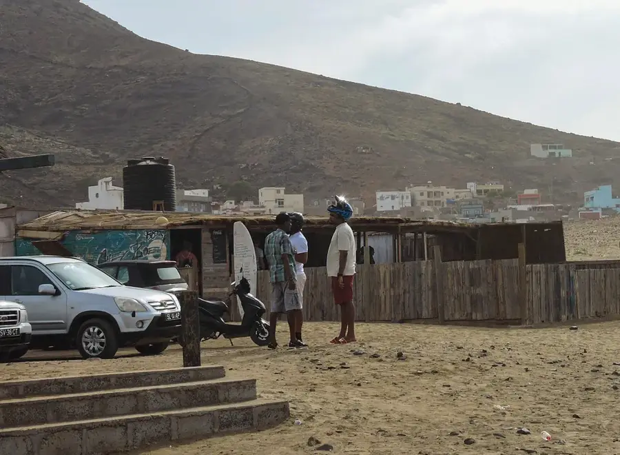
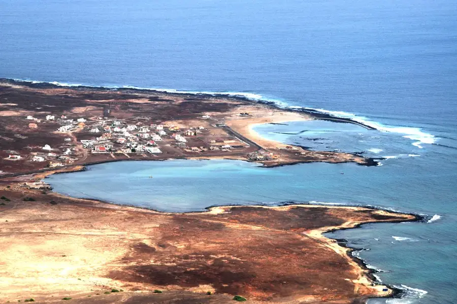
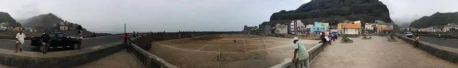
Monte Trigo is a prominent mountain formation in the far western reaches of Santo Antão island, located near the remote fishing village of the same name. The region is defined by its rugged topography, featuring vertical cliffs that plunge dramatically into the deep Atlantic Ocean. Geologically, it belongs to the massive Topo de Coroa volcanic complex, forming a significant western extension of this ancient shield volcano. Due to its extreme isolation, the landscape remains largely untouched by modern development, characterized by sparse vegetation that has adapted to harsh droughts and saline winds. Access to the mountain is notably difficult, typically requiring a boat journey or a multi-day trek through some of the archipelago's most demanding terrain. The village at the foot of the mountain achieved fame as the first settlement in Cape Verde to be powered 100% by solar energy, making Monte Trigo a local symbol of sustainable progress. The waters surrounding the mountain's base are known for their exceptional marine life, attracting scientific researchers and divers alike.
- Location: Cape Verde
- Top sights: Farol da Ponta Magrande · Westernmost point of Africa
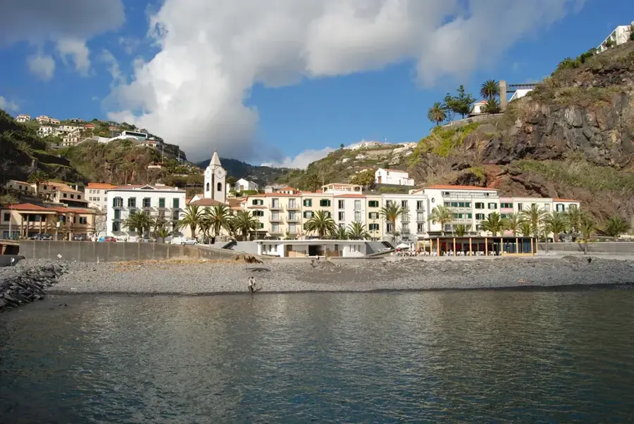
- Nearby: Porto Novo (29 km)
Best time to visit & climate
The most pleasant time to visit is Feb–Apr.
| Jan | Feb | Mar | Apr | May | Jun | Jul | Aug | Sep | Oct | Nov | Dec | |
|---|---|---|---|---|---|---|---|---|---|---|---|---|
| Avg °C | 22 | 22 | 22 | 22 | 23 | 24 | 25 | 26 | 27 | 26 | 25 | 24 |
| Rain mm | 25 | 19 | 11 | 10 | 3 | 5 | 7 | 20 | 41 | 23 | 29 | 30 |
📋 Practical info
Geography
Facts
- The highest elevation in the immediate vicinity exceeds 1,900 meters above sea level.
- The village at the foot of the mountain has been 100% solar-powered since 2012.
- Monte Trigo is part of the Topo de Coroa National Park, established in 2003.
- The coastline near Monte Trigo is among the westernmost inhabited points of Africa.
- The trek to Monte Trigo from Tarrafal de Monte Trigo takes approximately 3-5 hours.
- The geological structures consist primarily of ancient basaltic lava flows.
Explore nearby
Notable places around
Route planner — Car & Motorhome
Where do you start? We build the route here, with stops and country notes along the way.
© OpenStreetMap contributors · OpenRouteService
Sights in the town Monte Trigo (2)
Sights nearby
Frequently asked questions
How do you reach Monte Trigo?
Is there electricity there?
Can you stay overnight there?
What do the people there live on?
Are there roads in the village?
Monte Trigo: where is it located?
Monte Trigo: what is there to see?
Monte Trigo: when is the best time to visit?
Monte Trigo: why is it worth visiting?

Nearby cities
History & landmarks
More places