Plizio Visual Lab
Paul Valley

Weather…
Water temperature…
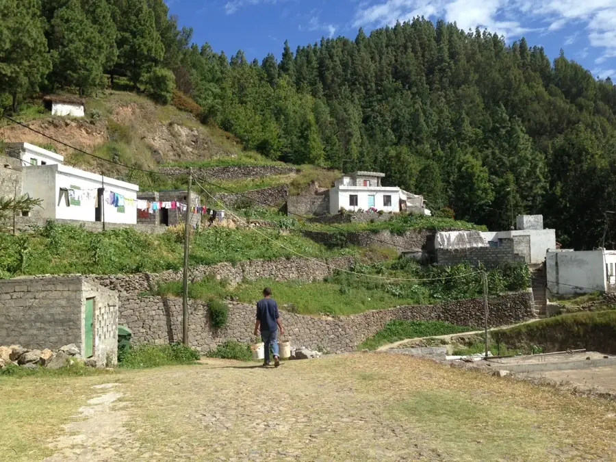
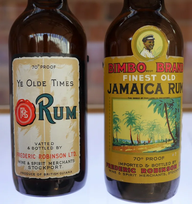
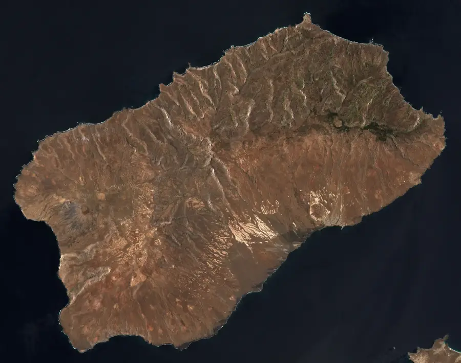
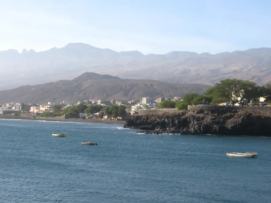
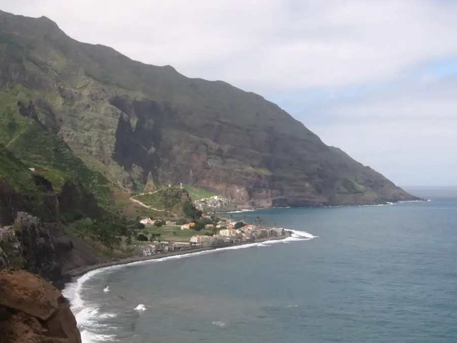
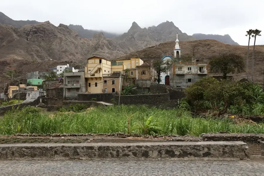
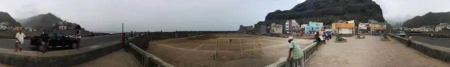
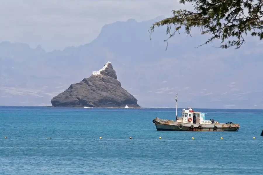
The Paul Valley (Vale do Paúl) on Santo Antão Island is the greenest and most fertile valley in the entire Cape Verdean archipelago. Extending from the high interior peaks down to the northern coast, it is characterized by spectacular terraced agriculture carved into steep mountain slopes. Thanks to high rainfall and numerous natural springs, sugarcane, coffee, bananas, and breadfruit trees thrive here in abundance. The valley is the heart of traditional grogue production, the Cape Verdean sugarcane spirit crafted in small artisanal distilleries known as 'trapiches.' Hikers treasure the Paul Valley for its challenging trails that wind through dense tropical vegetation and quaint, pretty villages. Geologically, the valley was formed by deep erosion into the volcanic massif, resulting in nearly vertical cliffs and dramatic vistas. Over centuries, local inhabitants have engineered a sophisticated irrigation system of stone channels called 'levadas' to manage the water supply. The atmosphere in the valley is peaceful and authentic, far removed from the influences of modern mass tourism. A visit to the Paul Valley is widely considered the ultimate nature experience for travelers seeking the raw, original spirit of Cape Verde.
- Location: Cape Verde
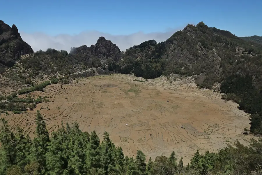
- Nearby: Cova de Paúl (5 km)
Best time to visit & climate
The most pleasant time to visit is Mar–May.
| Jan | Feb | Mar | Apr | May | Jun | Jul | Aug | Sep | Oct | Nov | Dec | |
|---|---|---|---|---|---|---|---|---|---|---|---|---|
| Avg °C | 21 | 21 | 21 | 22 | 22 | 23 | 24 | 26 | 26 | 26 | 24 | 23 |
| Rain mm | 41 | 37 | 19 | 14 | 7 | 7 | 9 | 28 | 46 | 27 | 37 | 50 |
📋 Practical info
Geography
Facts
- The greenest and most fertile valley in Cape Verde.
- Center of the traditional grogue (rum) production.
- Features an intricate irrigation system called 'levadas'.
- Major cultivation area for coffee and sugarcane.
- Popular starting point for hikes to the Cova crater.
- Vila das Pombas is the main settlement in the valley.
Explore nearby
Notable places around
Route planner — Car & Motorhome
Where do you start? We build the route here, with stops and country notes along the way.
© OpenStreetMap contributors · OpenRouteService
Sights in the town Paul Valley (1)
Sights nearby
Frequently asked questions
How difficult are the hikes?
What is grown in the valley?
When is the valley greenest?
How do you get to Paúl Valley?
Is there accommodation there?
Paul Valley: where is it located?
Paul Valley: when is the best time to visit?
Paul Valley: why is it worth visiting?

Nearby cities
History & landmarks
More places