Plizio Visual Lab
Cova de Paúl
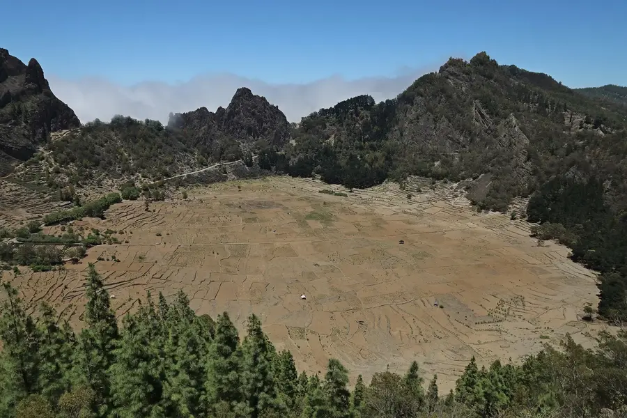
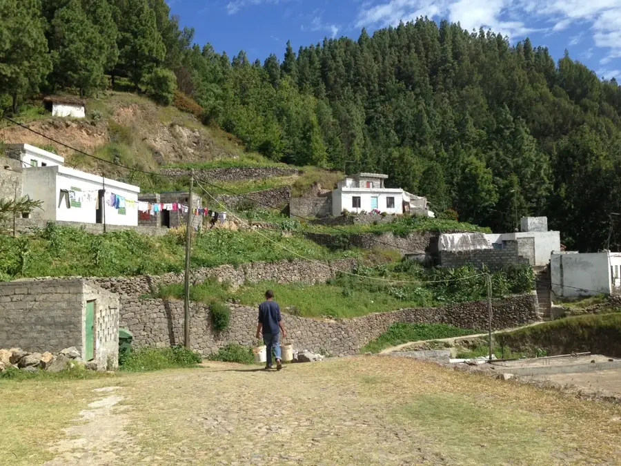
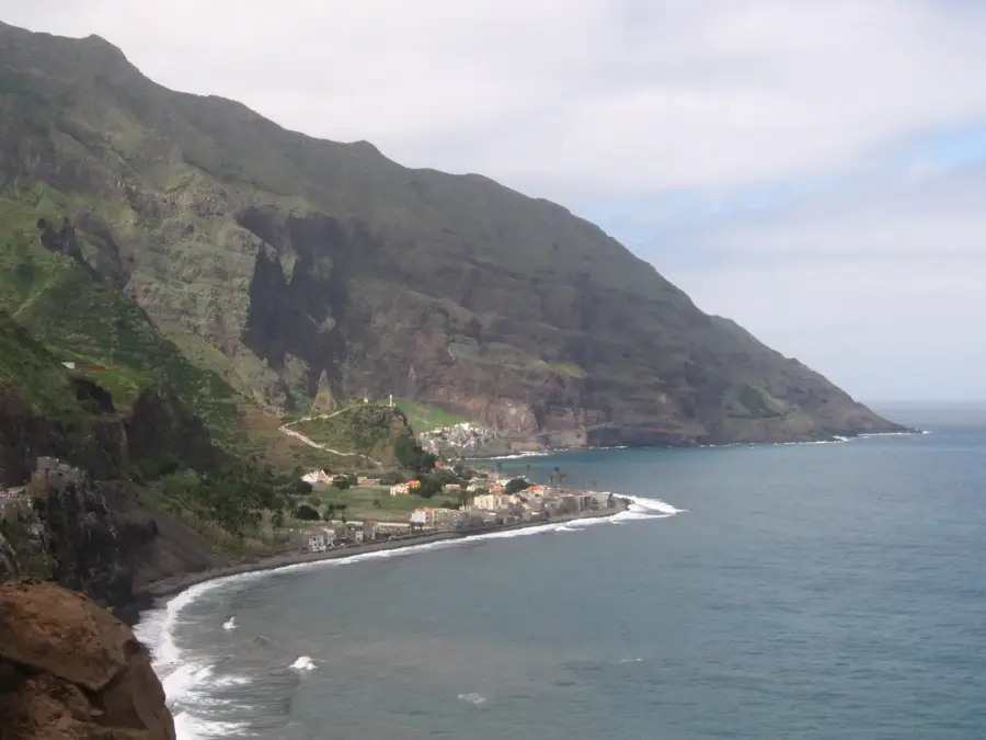
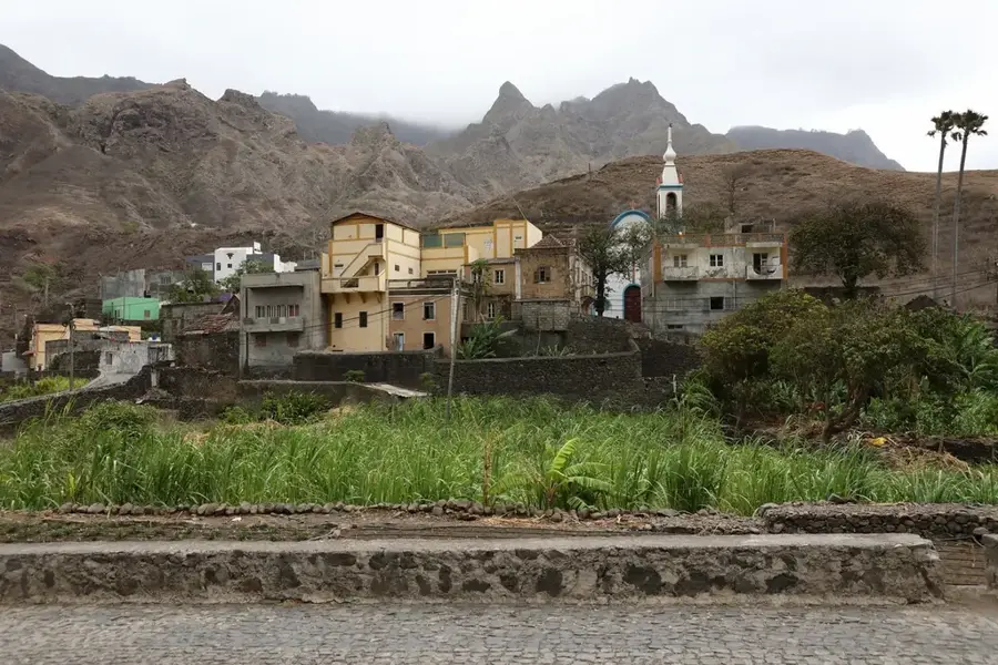
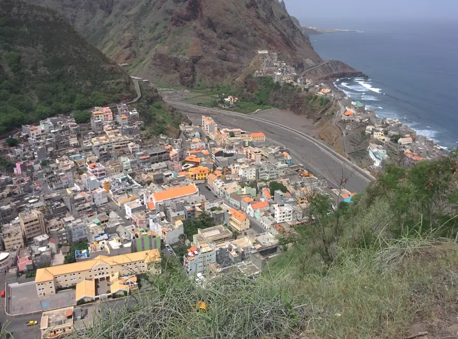
Cova de Paúl is an impressive geological feature on the island of Santo Antão, representing a massive caldera of an extinct volcano situated at an altitude of over 1,000 meters. The crater floor is entirely flat and exceptionally fertile, which has prompted locals to transform the entire area into a patchwork quilt of agricultural fields. Farmers from the surrounding areas cultivate sweet potatoes, corn, beans, and various other vegetables here, taking advantage of the moist, nutrient-rich volcanic soil and the cool microclimate. For adventurous travelers, the Cova serves as the starting point for one of the most famous hikes in Cape Verde: the descent into the Ribeira do Paúl valley. The trail begins at the crater's rim and drops dramatically over 1,000 meters in elevation, passing by steep cliffs covered in coffee, banana, and mango plantations. The constant moisture brought in by the trade winds ensures the vegetation remains lush and green throughout the entire descent, creating a stark contrast to the drier islands of the archipelago. It is highly recommended to visit Cova de Paúl early in the morning, preferably from January to May. By late morning, thick trade-wind clouds often roll over the ridge and fill the crater with dense mist, which can obstruct the view but also lends a mystical, almost ethereal atmosphere to the location. The rim is accessible via an old cobbled road winding up from Porto Novo.
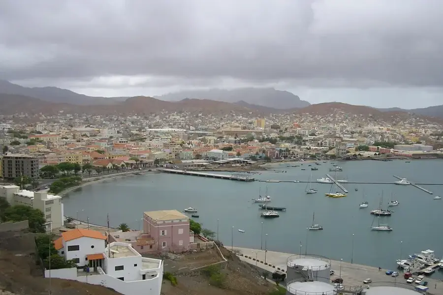
- Location: Cape Verde
- Top sights: Miradouro Dragoeiro · Quelder Art
- Nearby: Coculi (7 km)
- Population: ~833 (2026)
Best time to visit & climate
The most pleasant time to visit is Mar–May.
| Jan | Feb | Mar | Apr | May | Jun | Jul | Aug | Sep | Oct | Nov | Dec | |
|---|---|---|---|---|---|---|---|---|---|---|---|---|
| Avg °C | 21 | 21 | 21 | 22 | 22 | 23 | 24 | 26 | 26 | 26 | 24 | 23 |
| Rain mm | 41 | 37 | 19 | 14 | 7 | 7 | 9 | 28 | 46 | 27 | 37 | 50 |
Geography
Facts
- Extinct volcanic crater caldera
- Located at an altitude of over 1000 meters
- The flat floor is intensively farmed
- Starting point for the Ribeira do Paúl descent
- Frequently covered in mist by late morning
- Main crops include corn and sweet potatoes
- Part of the Santo Antão Natural Park
- Offers some of the best hiking in Cape Verde
Explore nearby
Notable places around
Route planner — Car & Motorhome
Where do you start? We build the route here, with stops and country notes along the way.
© OpenStreetMap contributors · OpenRouteService
Sights in the town Cova de Paúl (2)
Frequently asked questions
Cova de Paúl: where is it located?
Cova de Paúl: what is there to see?
Cova de Paúl: when is the best time to visit?
Cova de Paúl: why is it worth visiting?

Nearby cities
History & landmarks
More places