Plizio Visual Lab
Serra da Garça
Weather…
Water temperature…
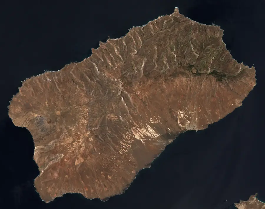
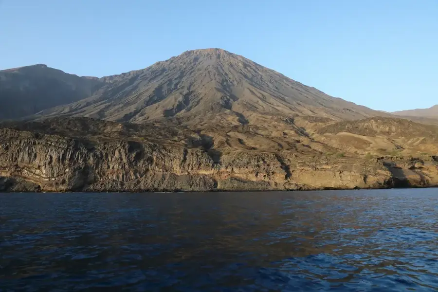
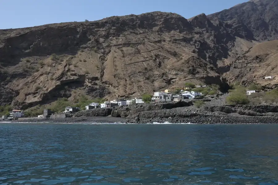
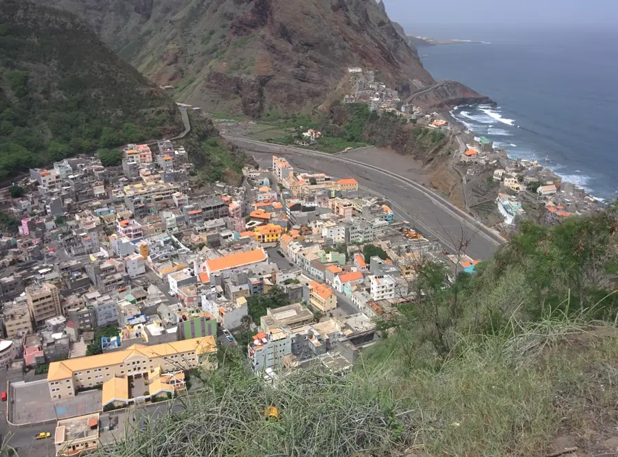
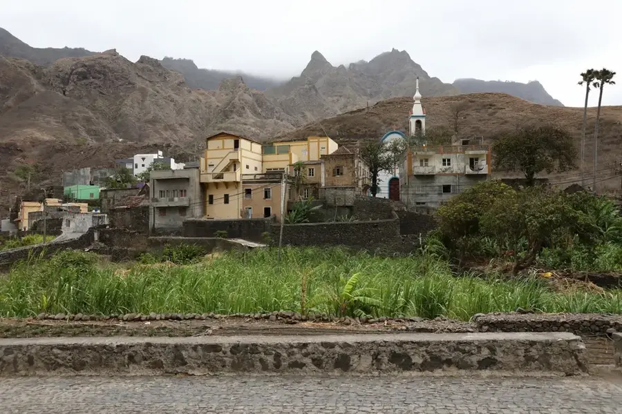
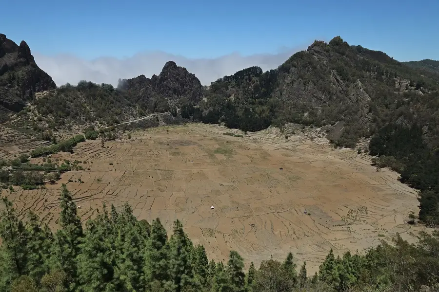
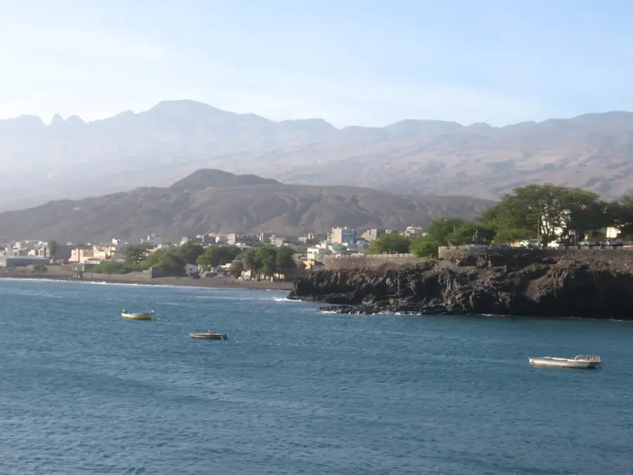
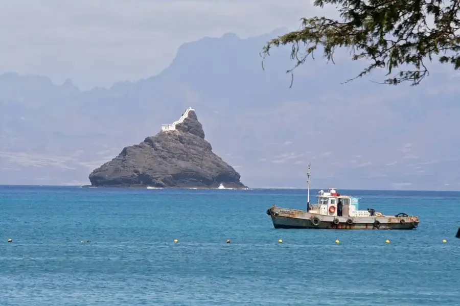
Serra da Garça is an impressive mountain range in the northern part of Santo Antão Island in Cape Verde. This region is renowned for its extremely rugged relief, featuring deep canyons and near-vertical rock faces shaped by the intense erosive power of water and wind over millions of years. The range acts as a natural barrier to the moist northeast trade winds, resulting in lush vegetation and frequent fog in the higher elevations. Geologically, the mountains consist of thick layers of volcanic basalt and trachyte, part of Santo Antão's massive shield volcano formation. Historically, the region is characterized by labor-intensive terraced farming, where local inhabitants cultivate coffee, sugarcane, and vegetables on steep slopes. Serra da Garça is also a vital hydrological catchment area, feeding numerous springs essential for agriculture in the lower valleys of Ribeira da Garça. For hikers, this mountain range presents one of the greatest challenges in the archipelago, yet it rewards them with spectacular views of the Atlantic Ocean and the pristine mountain scenery. The cultural significance of the Serra is found in its remote villages, which have preserved traditional ways of life in this isolated environment.
- Location: Cape Verde
- Top sights: Canyon · Lombo Gudo · Parque Natural do Moroços
- Nearby: Coculi (7 km)
Best time to visit & climate
The most pleasant time to visit is Mar–May.
| Jan | Feb | Mar | Apr | May | Jun | Jul | Aug | Sep | Oct | Nov | Dec | |
|---|---|---|---|---|---|---|---|---|---|---|---|---|
| Avg °C | 21 | 21 | 21 | 22 | 22 | 23 | 24 | 26 | 26 | 26 | 24 | 23 |
| Rain mm | 41 | 37 | 19 | 14 | 7 | 7 | 9 | 28 | 46 | 27 | 37 | 50 |
📋 Practical info
Geography
Facts
- The range is located on Santo Antão, known for its dramatic topography.
- Peaks in this area frequently exceed 1,000 meters in height.
- The mountains trap moisture, creating essential groundwater reserves.
- Terraced fields in this region date back to the early colonial period.
- The area is home to endemic birds like the Cape Verde Warbler.
- It is considered one of the most scenic hiking regions in West Africa.
Explore nearby
Notable places around
Route planner — Car & Motorhome
Where do you start? We build the route here, with stops and country notes along the way.
© OpenStreetMap contributors · OpenRouteService
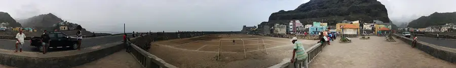
Sights in the town Serra da Garça (3)
Sights nearby
Frequently asked questions
Where is Serra da Garça located?
What are the hiking trails like there?
Are there villages there?
What is the weather like in the Serra?
Is the coastal hike worth it?
Serra da Garça: where is it located?
Serra da Garça: what is there to see?
Serra da Garça: when is the best time to visit?
Serra da Garça: why is it worth visiting?

Nearby cities
History & landmarks

More places