Plizio Visual Lab
Bafang
ℹ️Practical info — Bafang
▾
🌤 Weather — 5 days
📍 Nearby
Sights nearby
💡 Tips
- Bafang is situated in a hilly region; comfortable walking shoes are necessary for navigating the steep, uneven streets.
- The Chutes de la Mouankeu (Mouankeu Waterfalls) are spectacular, especially during the rainy season. Hire a local guide for a safe descent.
- The weather is cooler here than on the coast; bringing a sweater or light jacket for the evenings is recommended.
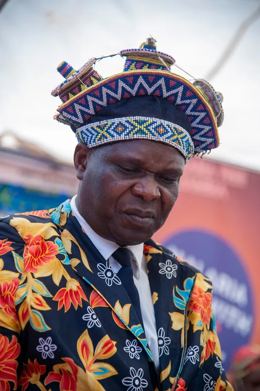
- This is the heartland of the Bamiléké people. If you visit a traditional Chefferie (chiefdom), dress modestly and ask permission before taking photos.
🍽 Food
A quintessential Bamiléké dish made from pounded taro root and a complex, palm-oil-based yellow sauce.
A rich, hearty stew of plantains, beef or pork, and local spices, typically prepared for special occasions but available in good traditional restaurants.
Look for vendors on the outskirts of town selling freshly tapped, mildly sweet palm wine in plastic jugs.
🛍 Shopping · 🧘 Quiet spots
An excellent place to find local medicinal plants, traditional spices, and fresh highlands produce.
Artisans in the area craft elaborate beaded masks, stools, and sculptures typical of Bamiléké culture.
The area immediately surrounding the plunge pool of the falls is lush, shaded, and deeply tranquil.
Take a walk up into the higher residential areas to escape the bustling center and enjoy panoramic views.
Water temperature…
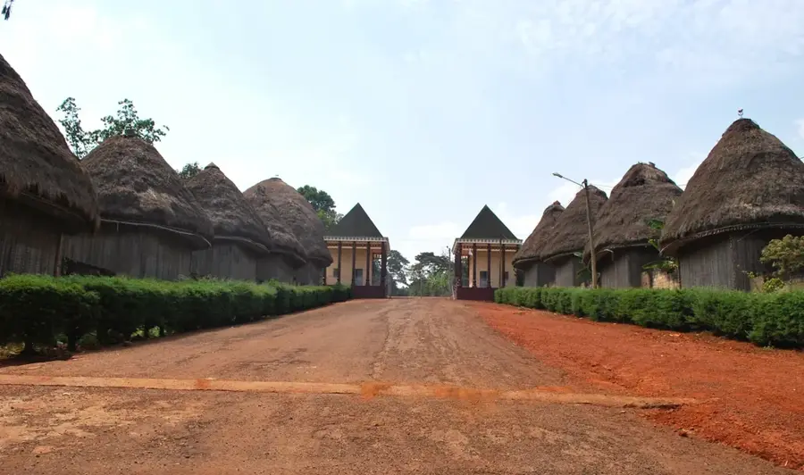
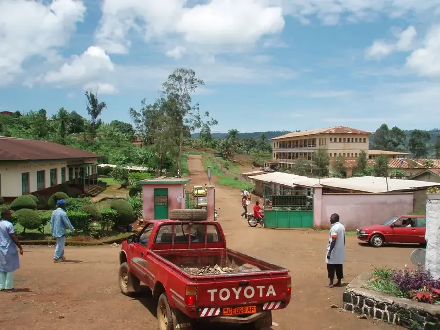
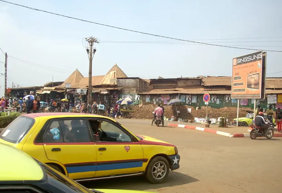
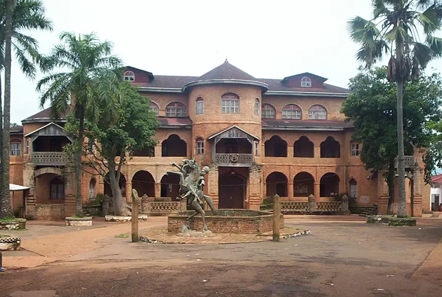
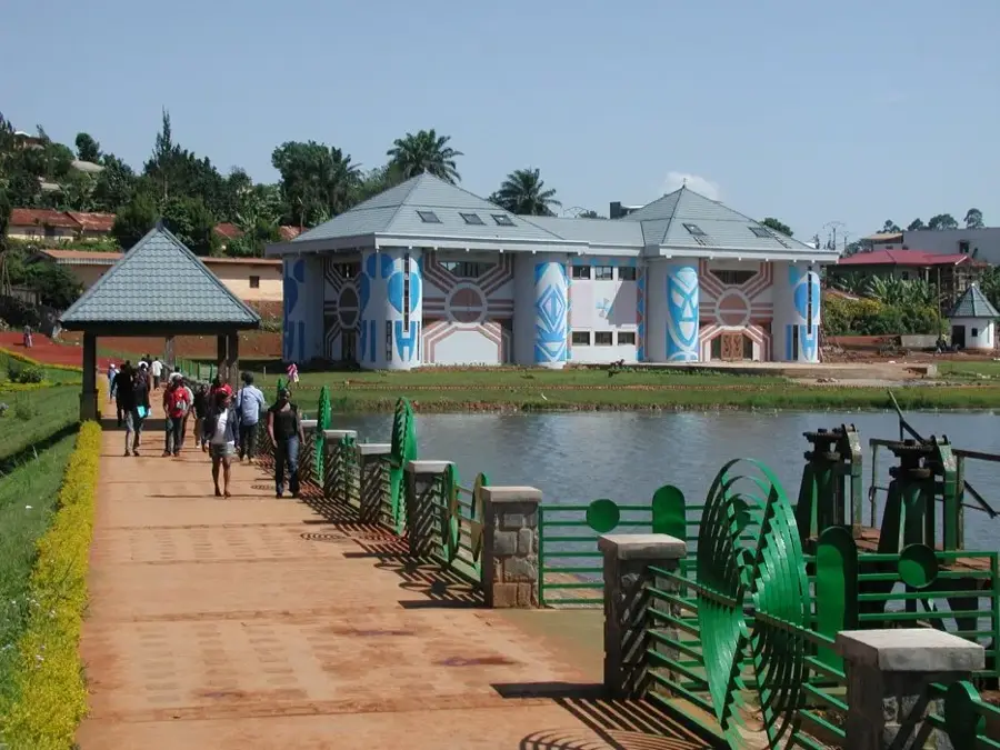
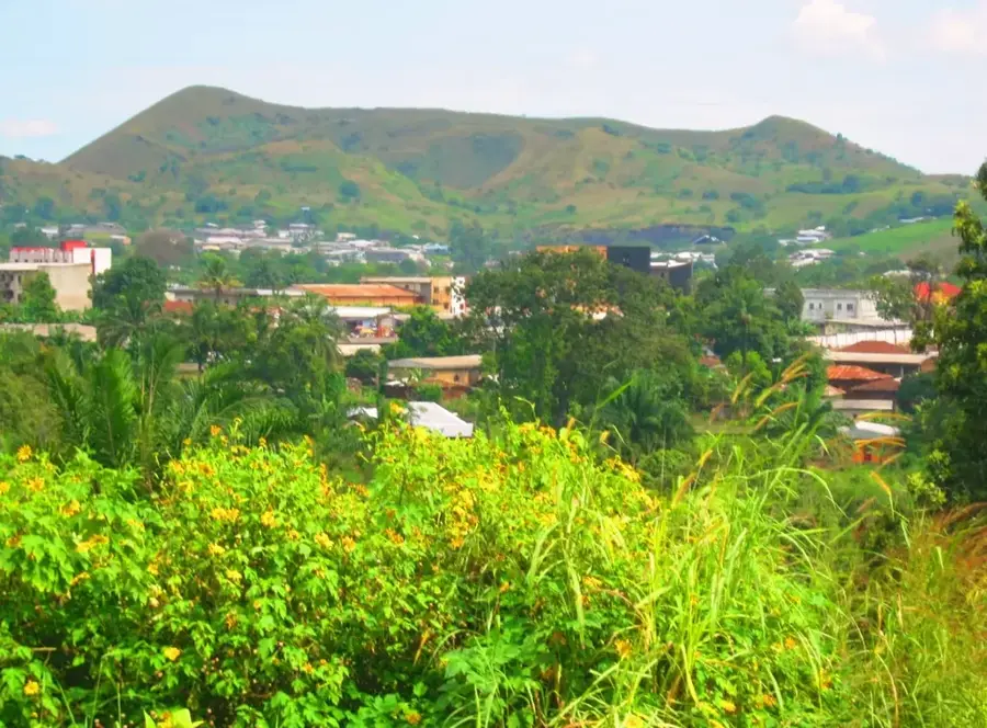
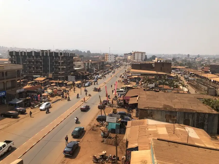
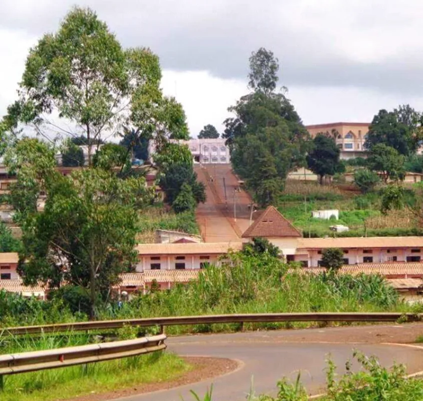
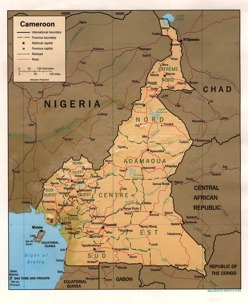
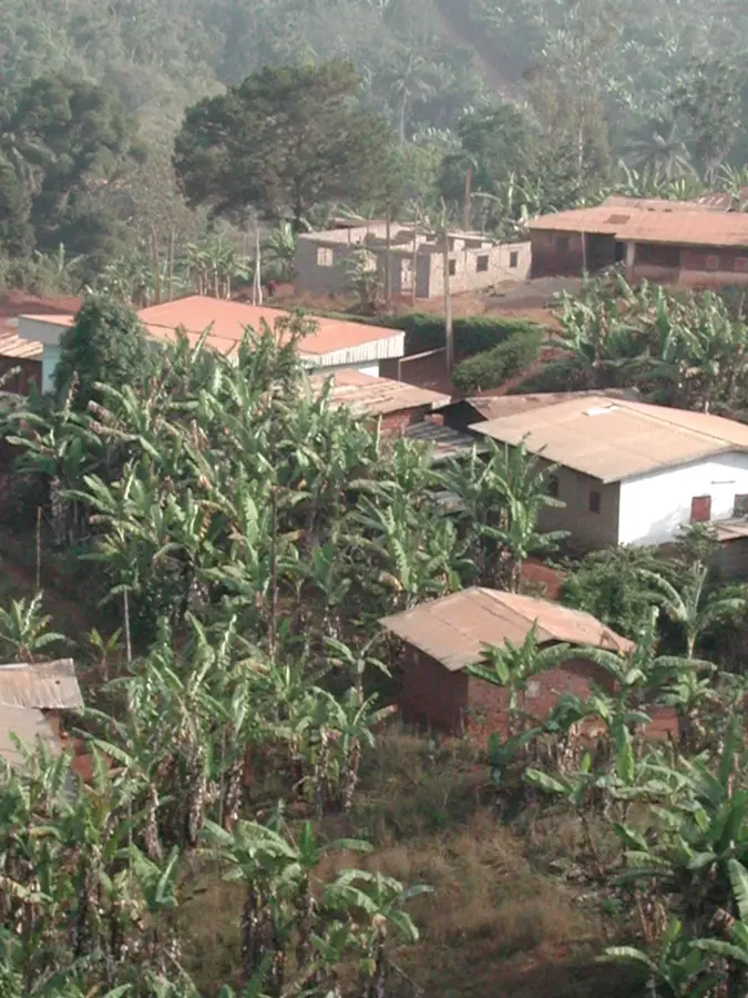
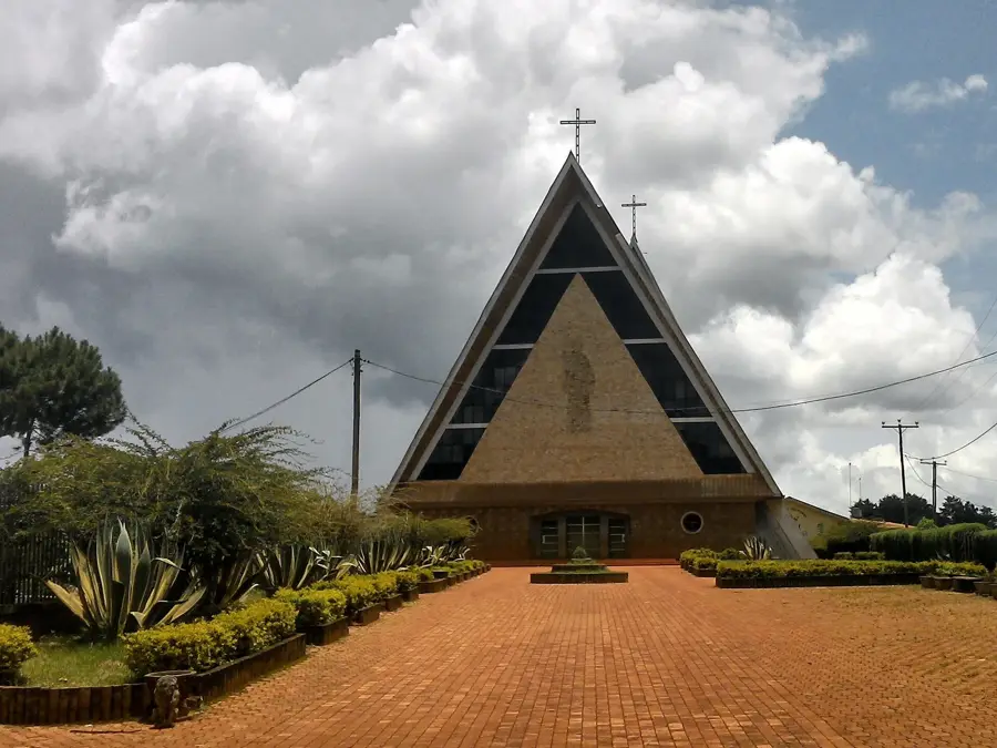
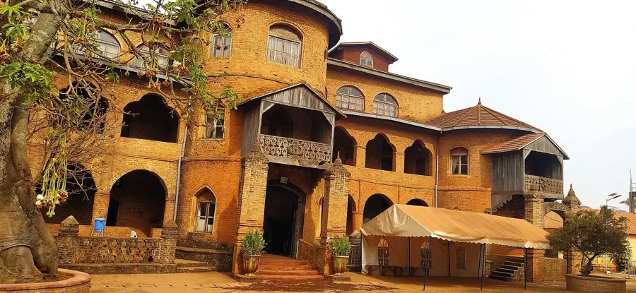
Bafang is the capital of Haut-Nkam Department in the West Region and sits at about 1 400 metres elevation on the Bamiléké highlands, around 40 kilometres west of Bafoussam. Its roughly 70 000 inhabitants belong to the Bafang Bamiléké subgroup, famed for its strong diaspora in Douala and Yaoundé. The town is a significant centre for cocoa, coffee and plantation bananas, complemented by pepper, avocado and honey production. Highlights include the Mami Wata waterfalls, the splendid Bafang Centre chieftaincy village, the plantations on Mount Batcha and the nearby crater of the extinct Mont Bana volcano. Bafang hosts several private schools and a thriving construction sector. The mild upland climate with a long rainy season from April to October favours intensive horticulture and plantation farming, making it one of the greenest cities in western Cameroon.
- Location: Cameroon
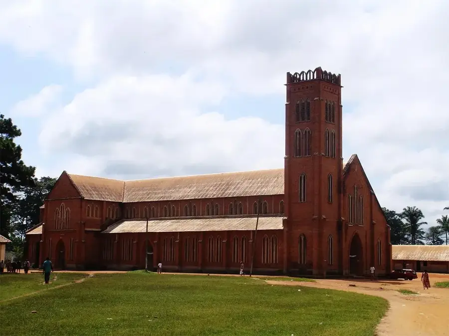
- Top sights: Carrefour Babone · MORGUE Banka · Chefferie Bafang
- Nearby: Bana (10 km)
- Population: ~54.505 (2023)
Best time to visit & climate
The most pleasant time to visit is Jan, Feb, Dec.
| Jan | Feb | Mar | Apr | May | Jun | Jul | Aug | Sep | Oct | Nov | Dec | |
|---|---|---|---|---|---|---|---|---|---|---|---|---|
| Avg °C | 23 | 23 | 24 | 23 | 23 | 22 | 22 | 21 | 22 | 22 | 23 | 22 |
| Rain mm | 31 | 77 | 160 | 227 | 240 | 364 | 463 | 549 | 444 | 348 | 142 | 21 |
Geography
Facts
- Located in the rolling, high-altitude Western Highlands.
- Major center for coffee and cocoa production.
- Known for its lush, verdant, and mountainous landscape.
- Key market town for high-quality highland produce.
- Important cultural and social hub for the local communities.
- Popular destination for experiencing the Western highland climate.
Explore nearby
Notable places around
Route planner — Car & Motorhome
Where do you start? We build the route here, with stops and country notes along the way.
© OpenStreetMap contributors · OpenRouteService
Sights in the town Bafang (3)
Frequently asked questions
What is typical for Bafang?
How many days are needed?
Are there hiking opportunities there?
When is the weather best?
What local food is there?
Bafang: where is it located?
Bafang: what is there to see?
Bafang: when is the best time to visit?
Bafang: why is it worth visiting?

Nearby cities
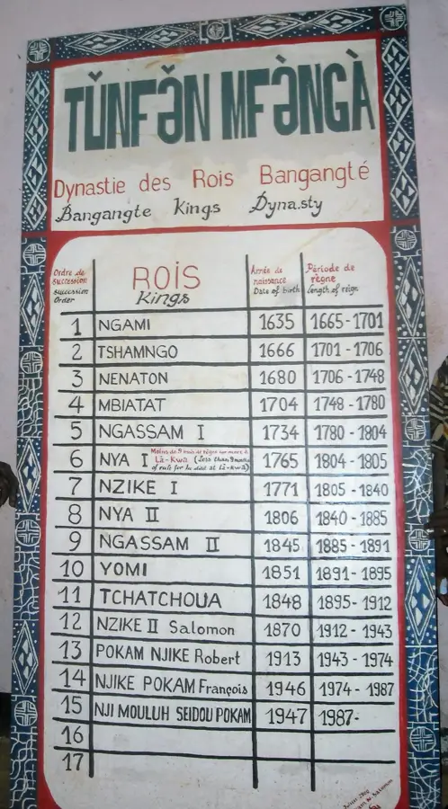
History & landmarks

More places