Plizio Visual Lab
Foumbot
ℹ️Practical info — Foumbot
▾
🌤 Weather — 5 days
📍 Nearby
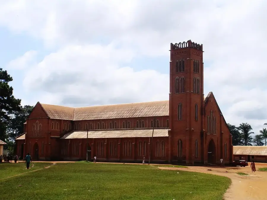
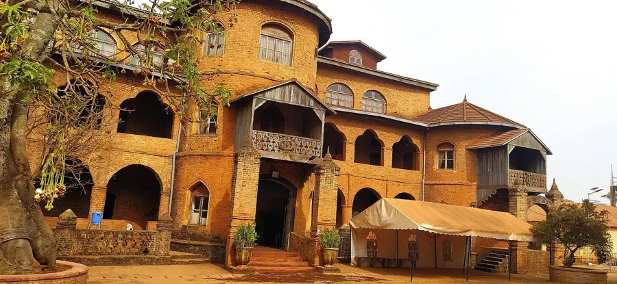
Sights nearby
💡 Tips
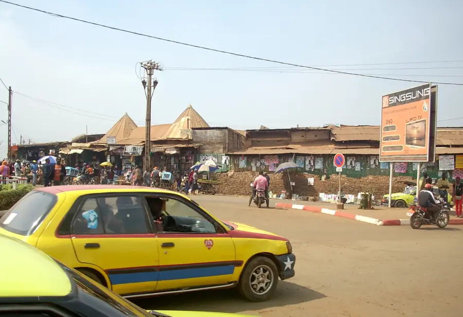
- Foumbot hosts one of the largest agricultural markets in the region; visit early in the morning to see the bustling trade.
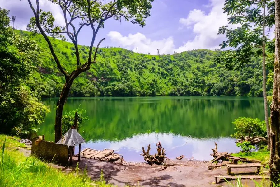
- Take a day trip to nearby Mount Mbapit and hike up to the striking crater lake.
- The town can get very dusty during the dry season and muddy during rains, so wear appropriate footwear.
- Since it is an agricultural hub, expect simpler accommodations and book in advance during market days.
🍽 Food
A traditional Bamileke delicacy often offered in local maquis.
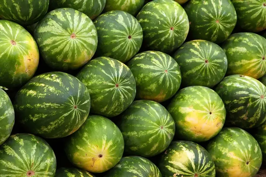
Buy pineapples, avocados, and bananas incredibly fresh and cheap directly at the market.
Grilled beef enjoyed in the evenings around the main transport hubs.
🛍 Shopping · 🧘 Quiet spots
The great place to buy bulk spices, coffee, and fresh produce.
Small vendors sell everyday items and baskets used in farming.
A steep but rewarding hike leading to a serene and photogenic lake.
Walk along the quiet rural dirt paths surrounded by lush volcanic soil fields.
Water temperature…
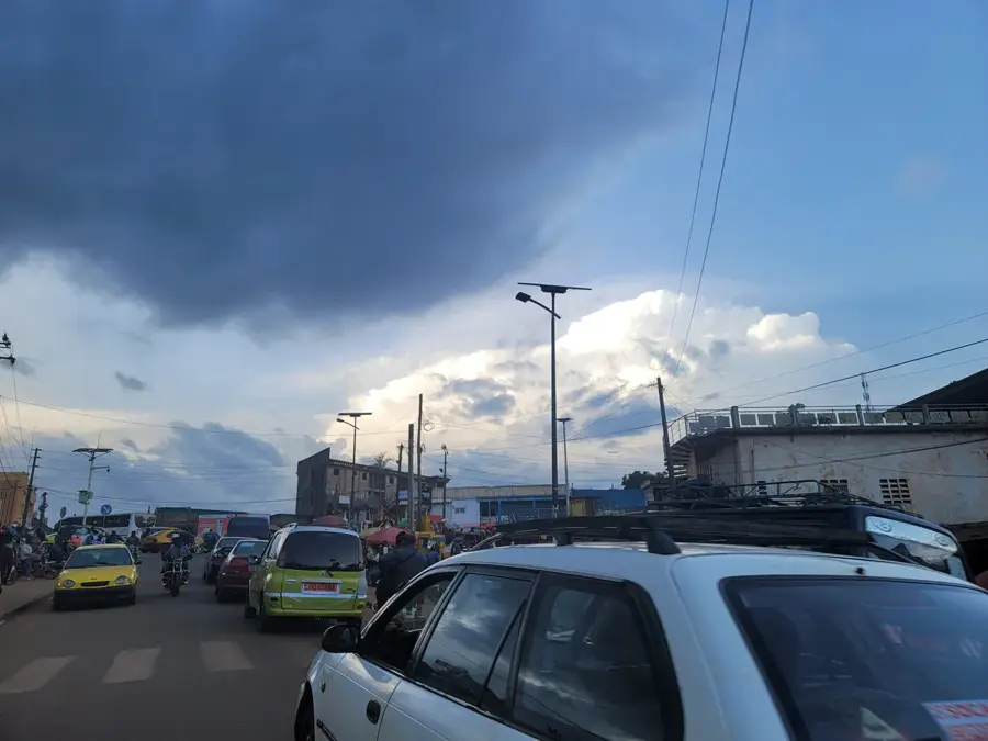
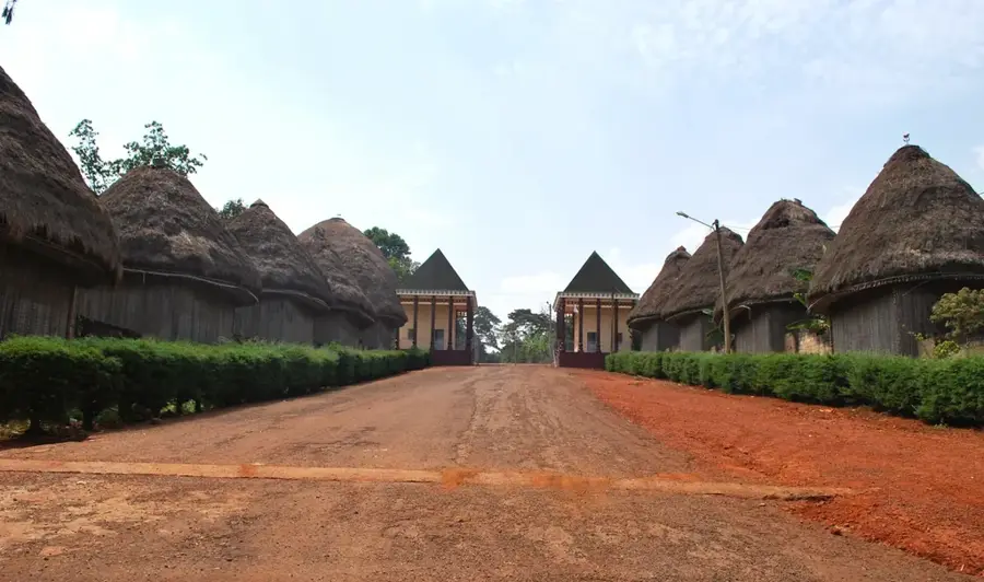
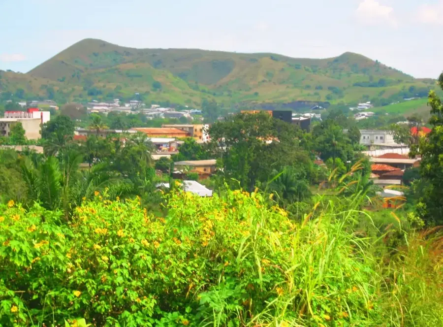
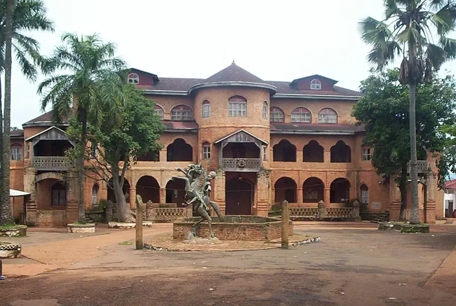
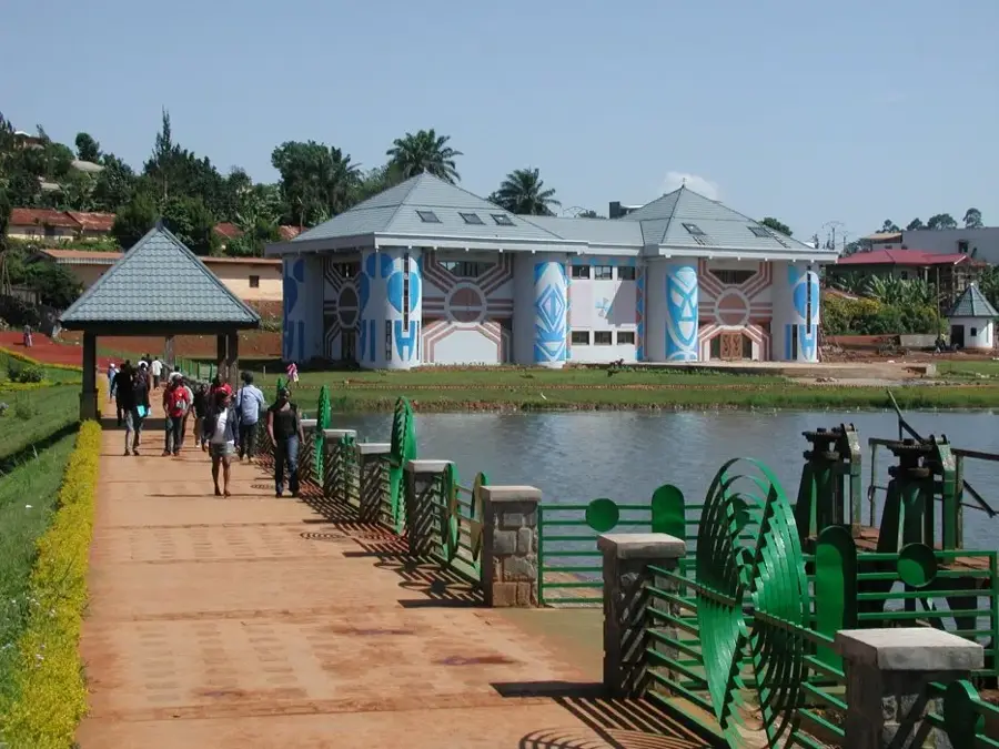
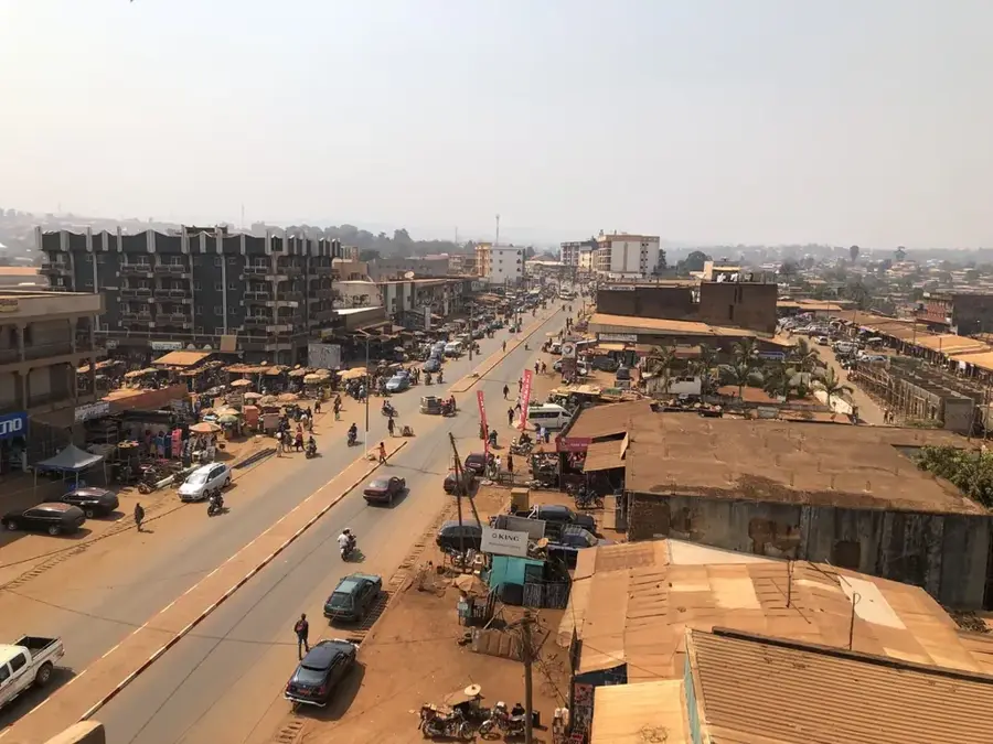
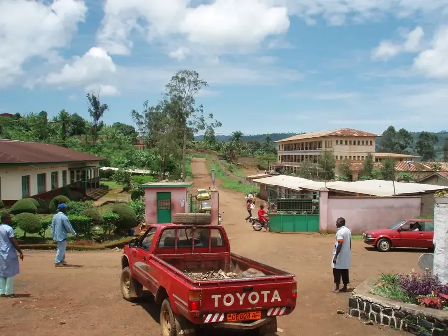
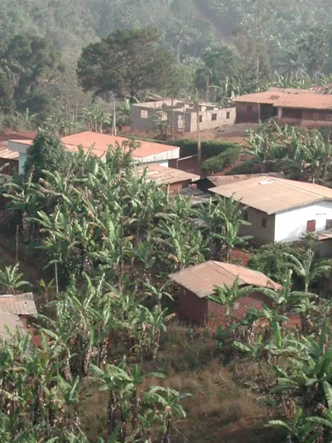
Foumbot is an important agricultural market town in Noun Department of the West Region and sits at about 1 100 metres elevation on the broad volcanic plateau between Foumban and Bafoussam. With around 80 000 inhabitants, it is one of West Africa's most important vegetable- and tomato-growing centres: the fertile volcanic soils of the Mont Mbapit crater complex allow several harvests per year and supply Yaoundé, Douala, Libreville and N'Djamena with fresh produce. The population is predominantly Bamum, with large Bamiléké and Fulbe communities. The economy rests on tomatoes, potatoes, carrots, groundnuts, maize and coffee. Highlights include the volcanic craters of Mbapit, the nearby Bamum kingdom, the huge Marché Central and the Lac Petponoun lagoon. The mild plateau climate with marked rainy and dry seasons supports particularly intensive agricultural use.
- Location: Cameroon
- Nearby: Bandjoun (28 km)
- Population: ~74.319 (2023)
Best time to visit & climate
The most pleasant time to visit is Jan, Feb, Dec.
| Jan | Feb | Mar | Apr | May | Jun | Jul | Aug | Sep | Oct | Nov | Dec | |
|---|---|---|---|---|---|---|---|---|---|---|---|---|
| Avg °C | 21 | 22 | 22 | 22 | 22 | 21 | 20 | 20 | 20 | 21 | 21 | 20 |
| Rain mm | 10 | 27 | 99 | 170 | 181 | 235 | 289 | 341 | 302 | 246 | 68 | 7 |
Geography
Facts
- Located at the foot of Mount Foumbot.
- Part of the Noun department in the West Region.
- Known as Cameroon's primary center for vegetable production.
- Inhabited predominantly by the Bamoun people.
- Situated at an altitude of approximately 1,050 meters.
- Major trading hub for agricultural goods in the region.
Explore nearby
Notable places around
Route planner — Car & Motorhome
Where do you start? We build the route here, with stops and country notes along the way.
© OpenStreetMap contributors · OpenRouteService
Frequently asked questions
What should you visit in Foumbot?
Is Foumbot far from the Bamoun Kingdom?
What landscape characterizes Foumbot?
What is the main product of the Foumbot region?
How do you get from Bafoussam to Foumbot?
Foumbot: where is it located?
Foumbot: when is the best time to visit?
Foumbot: why is it worth visiting?

Nearby cities

History & landmarks

More places