Plizio Visual Lab
Yokadouma
ℹ️Practical info — Yokadouma
▾
🌤 Weather — 5 days
📍 Nearby
Sights nearby
💡 Tips
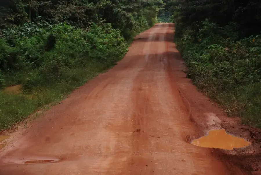
- Roads can be very dusty in the dry season and muddy during rains; plan your transport accordingly.
- ATMs are scarce and often out of service, so bring enough cash from larger cities.
- Bush taxis and minibuses usually leave early in the morning when full.
- Basic French is essential here, as English is rarely spoken.
🍽 Food
Try this traditional Cameroonian dish made with bitter leaves and nuts at local eateries near the market.
Freshly grilled meat skewers available from street food vendors in the evening.
Served fried, boiled, or mashed as a staple side dish in almost every local restaurant.
🛍 Shopping · 🧘 Quiet spots
The main hub for buying fresh tropical fruits and daily necessities.
Look for small artisan stalls selling handcrafted wooden items typical of the forest region.
Take a walk towards the edge of the city where the dense logging trails and nature begin.
The grounds around local churches often provide a quiet, shaded place to rest.
Water temperature…
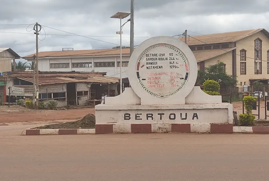
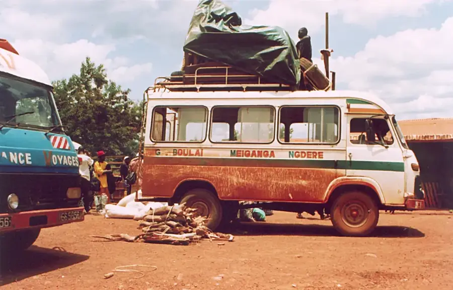
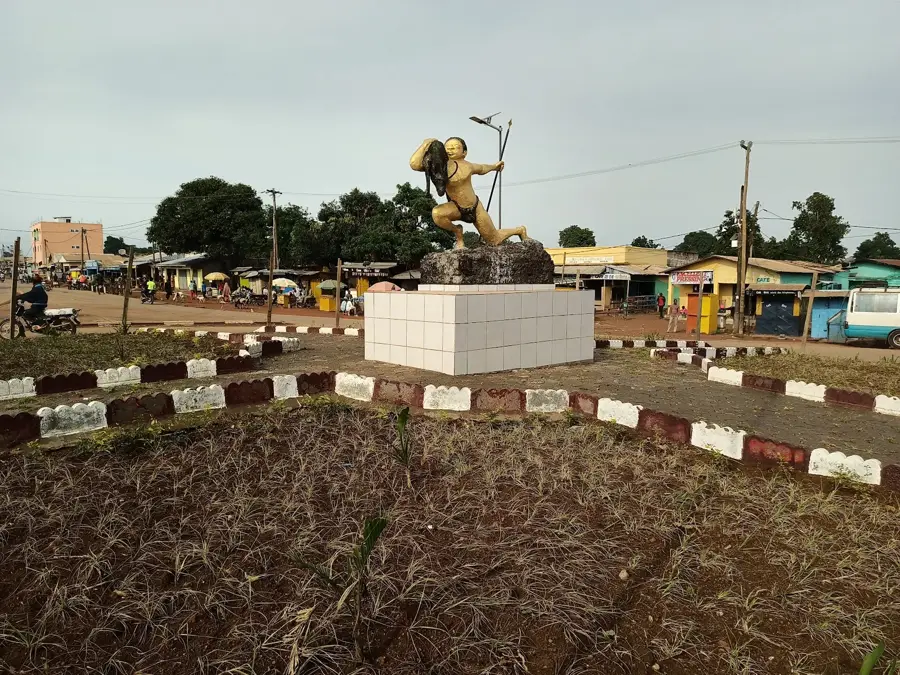
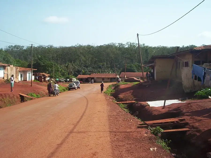
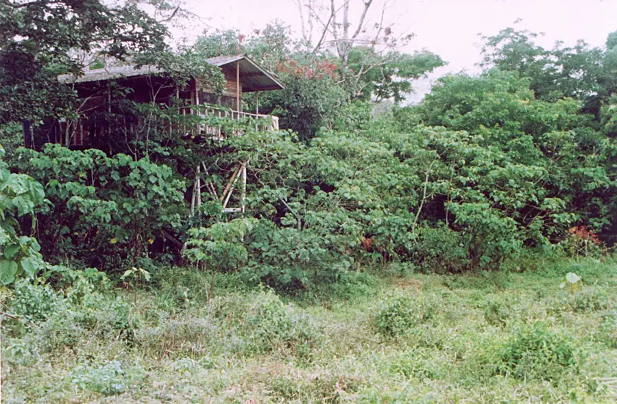
Yokadouma is the capital of Boumba-et-Ngoko Department in the East Region and lies in the southern stretch of Cameroon's dense Congo Basin, about 150 kilometres south of Batouri. Its roughly 25 000 inhabitants are mostly Mpiemo, Bangando and Baka (Pygmies). The town is the gateway to Lobéké National Park, a UNESCO biosphere reserve within the Sangha Trinational complex, sheltering lowland gorillas, forest elephants and rare bongo antelopes. Yokadouma is also a central timber transshipment point: hardwoods such as sapele, iroko and ayous are trucked along the 'timber road' to Douala. The economy also includes cocoa, bushmeat, honey and growing Baka handicrafts. Highlights include the Lobéké mineral bai, where elephants and gorillas regularly appear, the Catholic mission and the central market. The humid equatorial climate sustains one of Africa's richest biodiversity hotspots.
- Location: Cameroon
- Population: ~32.900 (2023)
Best time to visit & climate
The most pleasant time to visit is Jan, Feb, Dec.
| Jan | Feb | Mar | Apr | May | Jun | Jul | Aug | Sep | Oct | Nov | Dec | |
|---|---|---|---|---|---|---|---|---|---|---|---|---|
| Avg °C | 25 | 26 | 25 | 25 | 25 | 24 | 24 | 23 | 23 | 23 | 24 | 24 |
| Rain mm | 18 | 56 | 126 | 148 | 149 | 145 | 154 | 173 | 221 | 231 | 113 | 29 |
Geography
Facts
- Capital of the Boumba-et-Ngoko department
- Region: East
- Major timber processing location
- Gateway to Lobéké National Park (UNESCO)
- Part of the Sangha Trinational area
- Near the border with Congo and CAR
Explore nearby
Notable places around
Route planner — Car & Motorhome
Where do you start? We build the route here, with stops and country notes along the way.
© OpenStreetMap contributors · OpenRouteService
Sights in the town Yokadouma (1)
Frequently asked questions
When is the best time to visit Yokadouma?
How do you get to Yokadouma?
How much time should I plan for Yokadouma?
Is Yokadouma suitable for families?
What is characteristic of Yokadouma?
Yokadouma: where is it located?
Yokadouma: when is the best time to visit?
Yokadouma: why is it worth visiting?

Nearby cities
History & landmarks
More places