Plizio Visual Lab
Gamboula Forest

Weather…
Water temperature…
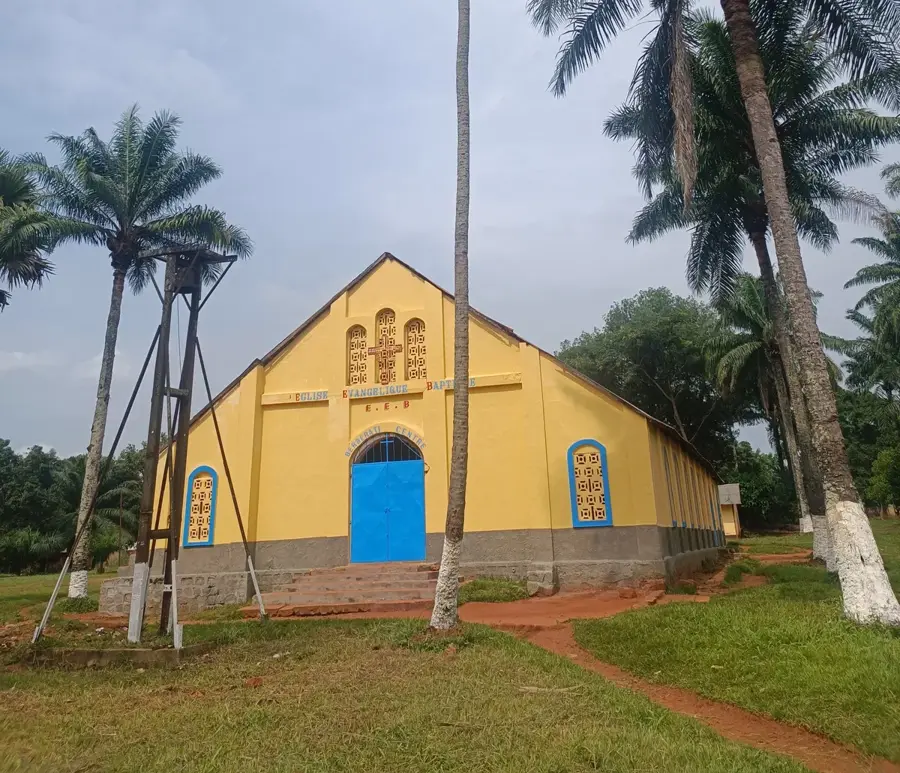
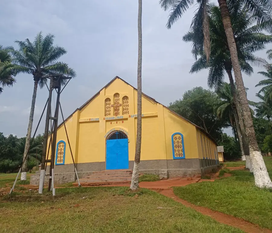
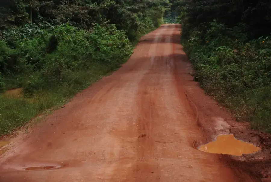
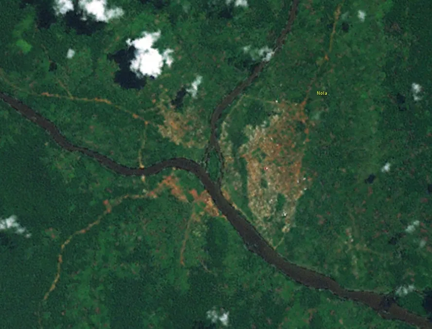
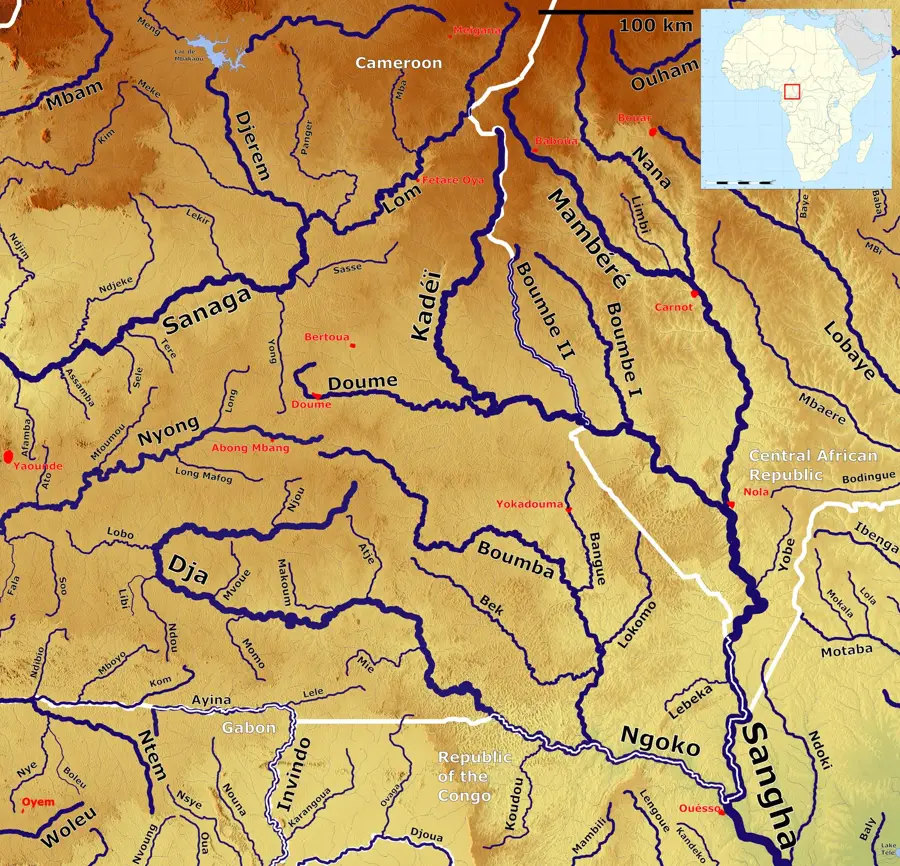
The Gamboula Forest is situated in the far western region of the Central African Republic, within the Mambéré-Kadéï prefecture, directly adjacent to the border with Cameroon. This extensive tropical rainforest block forms an integral part of the Congo Basin ecosystem and is distinguished by its exceptional biodiversity and dense vegetation structures. Since the mid-20th century, the Gamboula area has served as a hub for the forestry industry, where the extraction of precious timber species such as Sapelli and Ayous has significantly shaped local infrastructure. Geographically, the terrain is characterized by gently undulating hills at an average elevation of approximately 550 meters above sea level. Ecologically, the forest acts as a vital corridor for endangered wildlife, including forest elephants and western lowland gorillas, which find sanctuary within the undisturbed primary growth. The equatorial climate, with annual rainfall exceeding 1,600 mm, ensures continuous growth and feeds numerous tributaries of the Sangha River system. In recent years, efforts have focused on harmonizing economic utilization with the preservation of this globally significant carbon sink through sustainable management practices.
- Location: Central African Republic
- Nearby: Berbérati (79 km)
Best time to visit & climate
The most pleasant time to visit is Jan, Feb, Dec.
| Jan | Feb | Mar | Apr | May | Jun | Jul | Aug | Sep | Oct | Nov | Dec | |
|---|---|---|---|---|---|---|---|---|---|---|---|---|
| Avg °C | 25 | 26 | 26 | 25 | 25 | 24 | 24 | 23 | 23 | 24 | 24 | 24 |
| Rain mm | 12 | 44 | 108 | 140 | 141 | 142 | 158 | 175 | 215 | 208 | 96 | 20 |
📋 Practical info
Geography
Facts
- Located in the Mambéré-Kadéï prefecture near the Cameroon border.
- Part of the second largest contiguous rainforest area on Earth.
- Average annual rainfall in the region exceeds 1,600 mm.
- Habitat for the endangered Western lowland gorillas.
- Significant site for certified sustainable timber production.
- Average terrain elevation is approximately 550 meters above sea level.
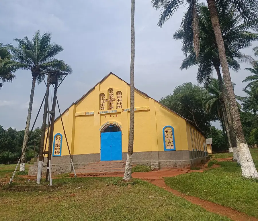
Explore nearby
Notable places around
Route planner — Car & Motorhome
Where do you start? We build the route here, with stops and country notes along the way.
© OpenStreetMap contributors · OpenRouteService
Sights nearby
Frequently asked questions
When is the best time to visit?
Is a guide necessary?
What clothing is recommended?
Are there dangerous animals?
Is there mobile reception?
Gamboula Forest: where is it located?
Gamboula Forest: when is the best time to visit?
Gamboula Forest: why is it worth visiting?

Nearby cities

History & landmarks
Nature
More places