Plizio Visual Lab
Mambéré River
Weather…
Water temperature…
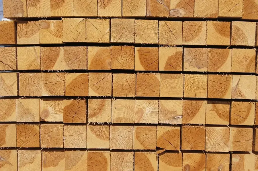
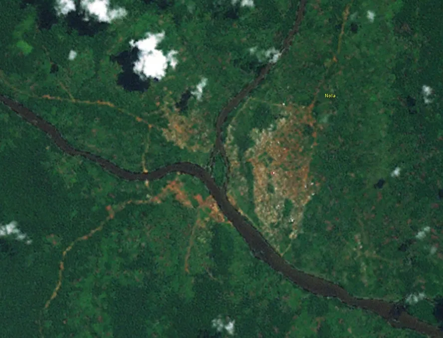
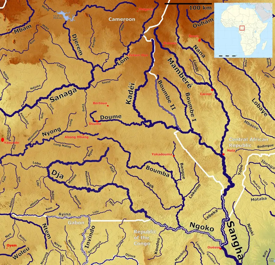
The Mambéré River is a major watercourse in the western Central African Republic, playing a central role in regional hydrology. It originates in the Yadé Massif and flows for hundreds of kilometers through lush tropical forests and savanna landscapes. Together with the Kadéï River, it forms the Sangha River at the city of Nola, which eventually flows into the Congo. The Mambéré is known for its rich fish fauna, which forms the basis of the local economy in cities like Berbérati. Along its banks, dense forests are often found, providing habitat for forest elephants and gorillas. Historically, the river was an important route for timber transport, an industry that has economically shaped the region. Seasonal fluctuations in the water level significantly affect the navigability and the life rhythm of the riparian population. In the dry season, sandbanks often form, while the rainy season transforms the river into a mighty stream that floods large parts of the adjacent plains.
- Location: Central African Republic
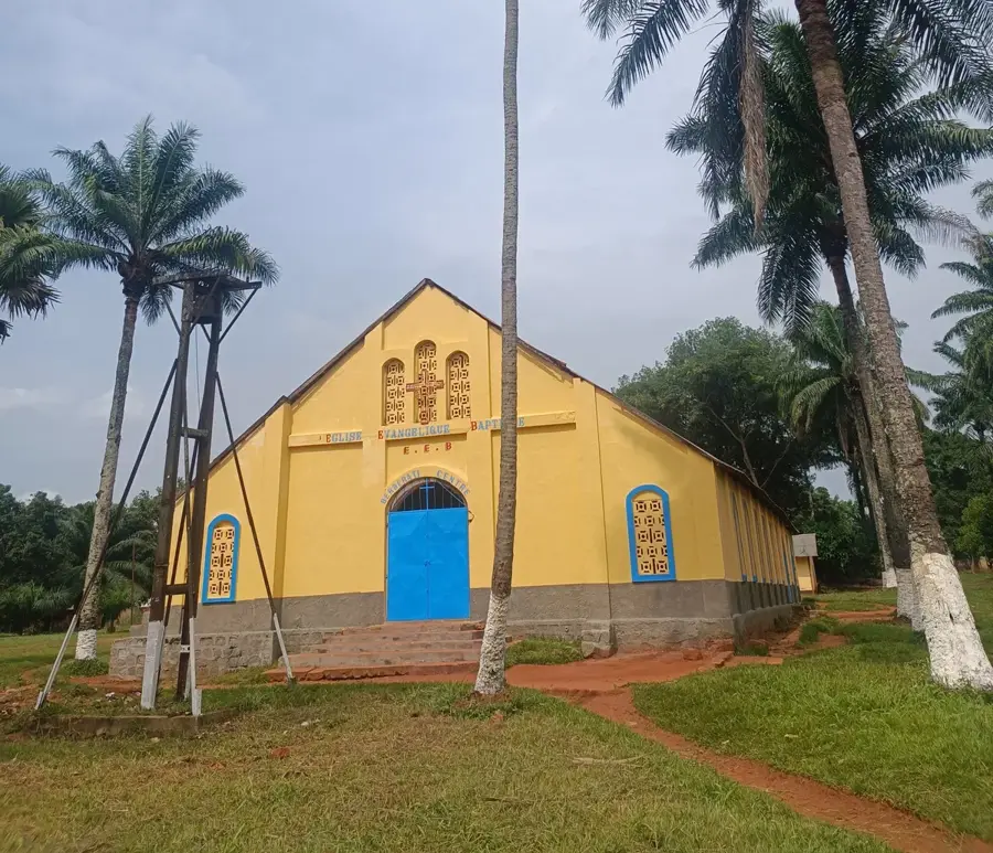
- Nearby: Berbérati (7 km)
Best time to visit & climate
The most pleasant time to visit is Jan, Feb, Dec.
| Jan | Feb | Mar | Apr | May | Jun | Jul | Aug | Sep | Oct | Nov | Dec | |
|---|---|---|---|---|---|---|---|---|---|---|---|---|
| Avg °C | 26 | 27 | 27 | 26 | 26 | 25 | 24 | 24 | 24 | 24 | 25 | 25 |
| Rain mm | 12 | 46 | 108 | 137 | 144 | 152 | 171 | 187 | 234 | 233 | 95 | 21 |
📋 Practical info
Geography
Facts
- The drainage basin of the Mambéré covers approximately 27,000 square kilometers.
- The confluence with the Kadéï occurs at the city of Nola.
- Berbérati, the country's second-largest city, is located within the river's basin.
- The river is part of the larger Sangha Tri-National protected area.
- As early as the late 19th century, the river was used for rubber transport.
- The average depth varies between 2 and 6 meters depending on the season.
Explore nearby
Notable places around
Route planner — Car & Motorhome
Where do you start? We build the route here, with stops and country notes along the way.
© OpenStreetMap contributors · OpenRouteService
Sights nearby
Frequently asked questions
Does it have water year-round?
What is the region known for?
Can you see animals on the bank?
Are there hiking trails?
How deep is the water?
Mambéré River: where is it located?
Mambéré River: when is the best time to visit?
Mambéré River: why is it worth visiting?

Nearby cities

History & landmarks
Nature
More places