Plizio Visual Lab
Logone Valley
Weather…
Water temperature…
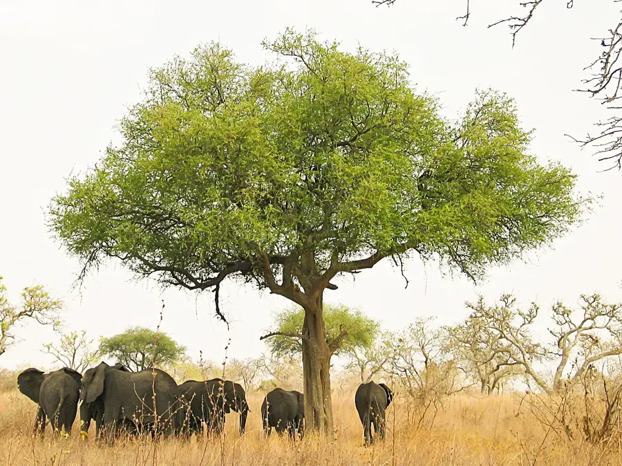
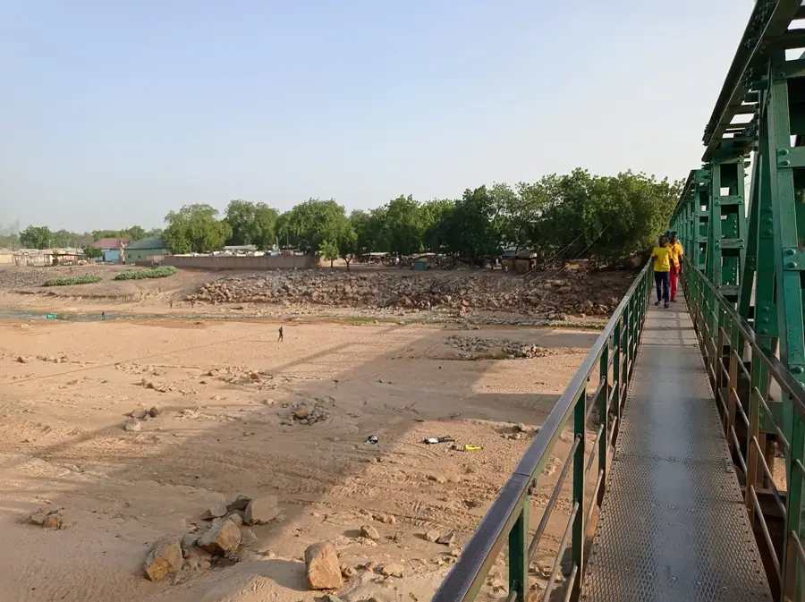
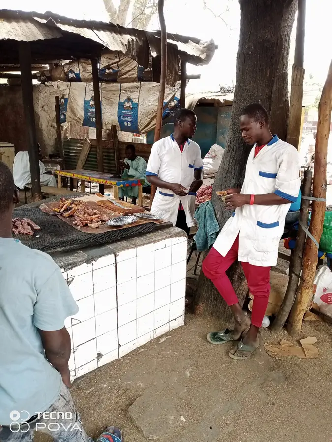
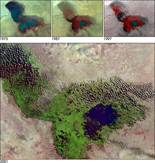
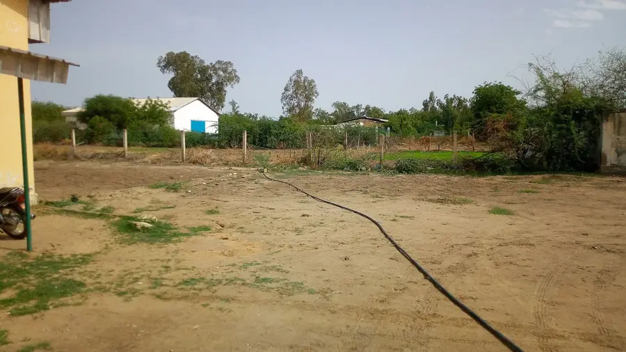
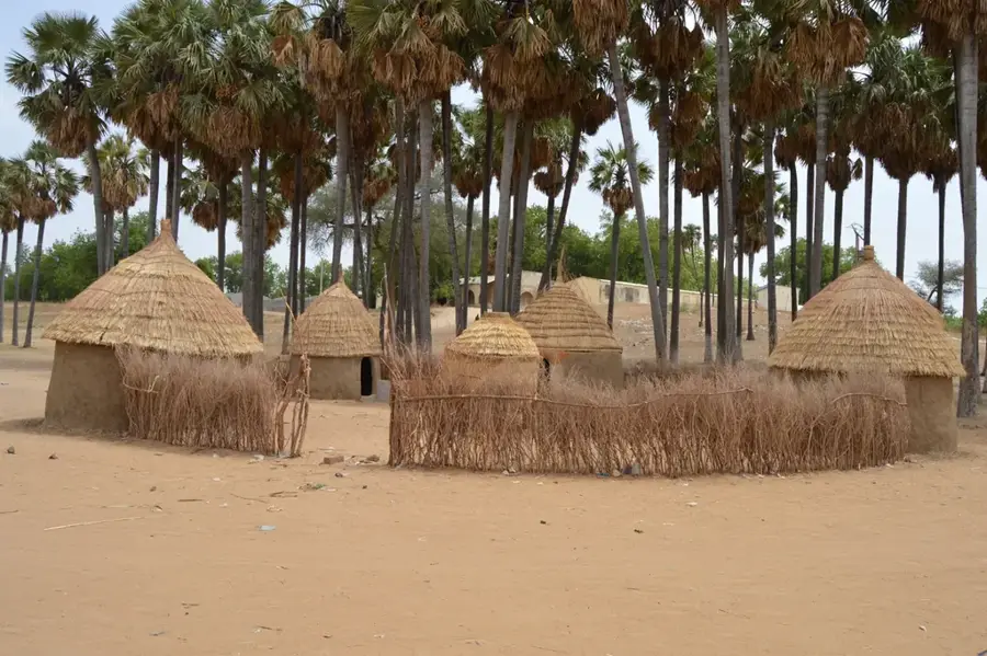
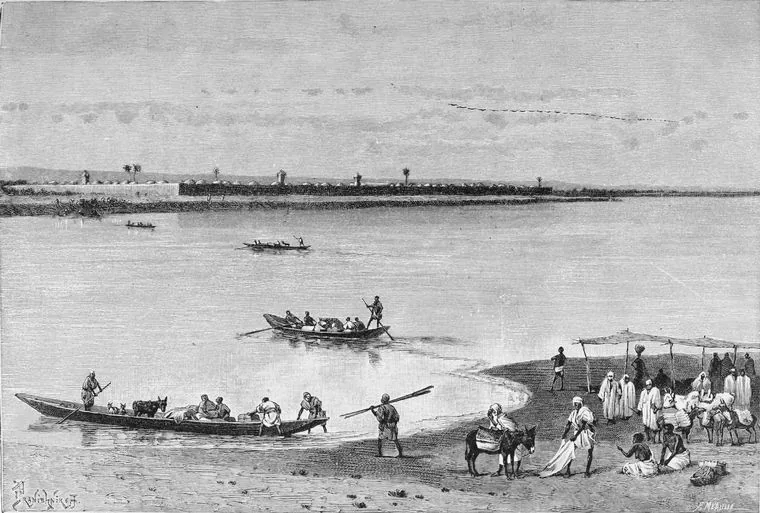
The Logone Valley stretches along the river of the same name in northern Cameroon, forming a natural border with neighboring Chad. Geographically, the valley is characterized by extensive floodplains that are of existential importance for regional agriculture and fishing. The Logone River feeds the Chad Basin and provides fertile sedimentary deposits that enable the cultivation of rice and millet. Historically, the valley was the settlement area of the Musgum people, famous for their distinctive shell-shaped mud huts. The relief is gently sloping, situated at an average elevation between 280 and 320 meters. During the extreme dry season, the water surfaces recede significantly, posing major economic challenges for the local population. In recent decades, various irrigation projects have been initiated in the valley to improve food security in the Far North region of Cameroon.
- Location: Cameroon
- Top sights: Poulailler Ali Klessoum · Couveuse OWIYANA · Poulailler Ali Adji
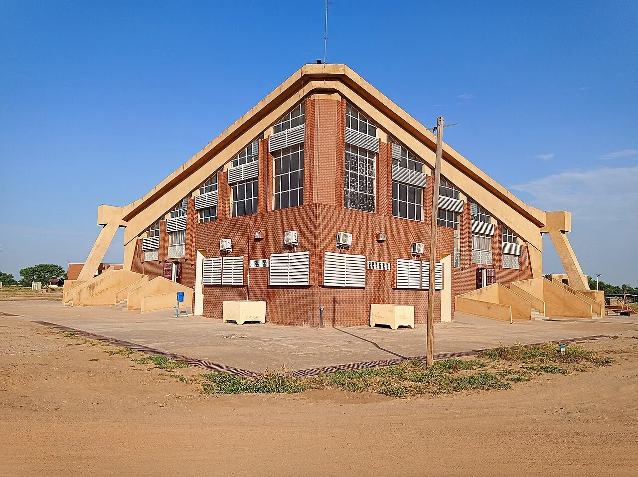
- Nearby: Kousséri (21 km)
Best time to visit & climate
The most pleasant time to visit is Jan, Nov, Dec.
| Jan | Feb | Mar | Apr | May | Jun | Jul | Aug | Sep | Oct | Nov | Dec | |
|---|---|---|---|---|---|---|---|---|---|---|---|---|
| Avg °C | 24 | 28 | 31 | 34 | 34 | 32 | 29 | 27 | 27 | 29 | 28 | 25 |
| Rain mm | 0 | 0 | 0 | 5 | 23 | 60 | 133 | 192 | 92 | 24 | 0 | 0 |
📋 Practical info
Geography
Facts
- The Logone River defines the border between Cameroon and Chad.
- The valley sits at an average elevation of 300 meters.
- The region is famous for the shell-shaped mud huts of the Musgum.
- Rice and millet cultivation are the primary economic sectors.
- Vast areas are completely submerged during the rainy season.
- The annual average temperature often exceeds 28 degrees Celsius.
Explore nearby
Notable places around
Route planner — Car & Motorhome
Where do you start? We build the route here, with stops and country notes along the way.
© OpenStreetMap contributors · OpenRouteService
Sights in the town Logone Valley (3)
Sights nearby
Frequently asked questions
What characterizes the Logone Valley?
Can you go canoeing on the Logone River?
What birds are found in the valley?
When do the floods occur?
Is there traditional architecture there?
Logone Valley: where is it located?
Logone Valley: what is there to see?
Logone Valley: when is the best time to visit?
Logone Valley: why is it worth visiting?

Nearby cities


History & landmarks
Nature


More places