Plizio Visual Lab
Oudjila

Weather…
Water temperature…
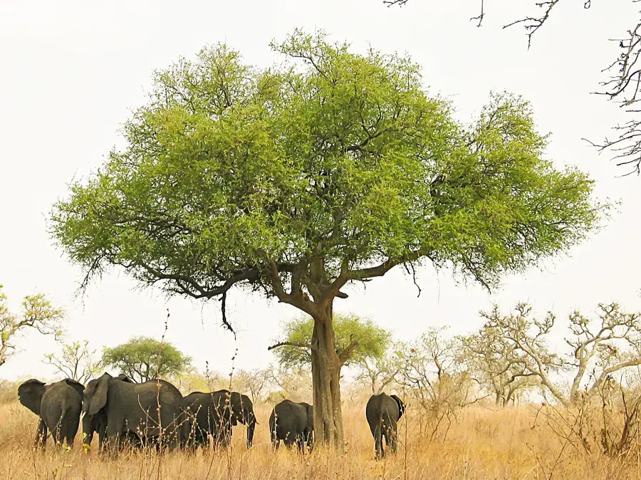
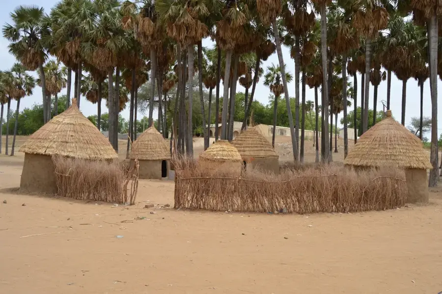
Oudjila is a remarkable cultural site located in the rugged terrain of the Mandara Mountains in the Far North Region. The village is most famous for the sprawling compound of the local chief (lamido), which historically housed his numerous wives. This complex is a labyrinth of round, mud-brick huts with conical thatched roofs, representing a masterful example of traditional Podoko architecture adapted to the harsh mountain environment. The surrounding landscape is dramatic and arid, characterized by terraced hillsides used for cultivating sorghum and millet. This terracing technique is essential for agriculture in the rocky terrain and adds a distinct geometric beauty to the valleys. Visitors often experience the rhythmic traditional dances performed by the village women, while local food relies heavily on millet-based dishes and rich, peanut-based sauces. Reaching Oudjila usually involves traveling from Mora, the nearest sizable town. The journey requires navigating steep, unpaved mountain roads, often best tackled with a 4x4 vehicle. The climate is very hot for most of the year; thus, the relatively cooler and dry months between November and January are the most suitable times for a visit.
- Location: Cameroon
- Nearby: Mora (6 km)
Best time to visit & climate
The most pleasant time to visit is Jan, Nov, Dec.
| Jan | Feb | Mar | Apr | May | Jun | Jul | Aug | Sep | Oct | Nov | Dec | |
|---|---|---|---|---|---|---|---|---|---|---|---|---|
| Avg °C | 23 | 27 | 30 | 32 | 31 | 29 | 27 | 25 | 26 | 27 | 26 | 23 |
| Rain mm | 0 | 0 | 0 | 13 | 46 | 101 | 174 | 214 | 122 | 30 | 1 | 0 |
📋 Practical info
Geography
Facts
- Situated in the rugged Mandara Mountains.
- Famous for the traditional chief's compound.
- Inhabited primarily by the Podoko people.
- Architecture features round mud-brick huts.
- The compound historically housed over 40 wives.
- Surrounded by terraced agricultural hillsides.
- Located near the town of Mora.
- Cultivation focuses on millet and sorghum.
Explore nearby
Notable places around
Route planner — Car & Motorhome
Where do you start? We build the route here, with stops and country notes along the way.
© OpenStreetMap contributors · OpenRouteService
Sights nearby
Frequently asked questions
Oudjila: where is it located?
Oudjila: when is the best time to visit?
Oudjila: why is it worth visiting?

Nearby cities


Nature

More places