Plizio Visual Lab
Bogo
ℹ️Practical info — Bogo
▾
🌤 Weather — 5 days
📍 Nearby
Sights nearby
💡 Tips
- Bogo is hot and dry; visit the open-air markets early in the morning to avoid the intense midday sun.
- Modest dress is highly recommended due to the strong Islamic culture in the Far North Region.
- Market days are animated and crowded, drawing traders from surrounding villages; keep an eye on your belongings.
- The roads can be very dusty, especially during the dry season, so carrying a scarf to cover your face while traveling is useful.
🍽 Food
The regional staple food, usually served with savory sauces in traditional eateries.
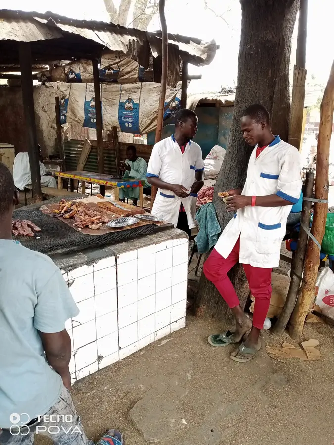
Find these spicy grilled meat skewers at evening street stalls across the town.
A sweet, dark red and refreshing local drink sold in bottles or cups at small kiosks.
🛍 Shopping · 🧘 Quiet spots
A major hub for grains, livestock, and daily goods, offering a truly authentic trading experience.
Look for locally crafted leather bags and sandals made by artisans in the market area.
The areas immediately outside the local mosques are usually calm and shaded between prayer times.
A morning walk towards the agricultural fields gives a quiet view of the rural landscape.
Water temperature…
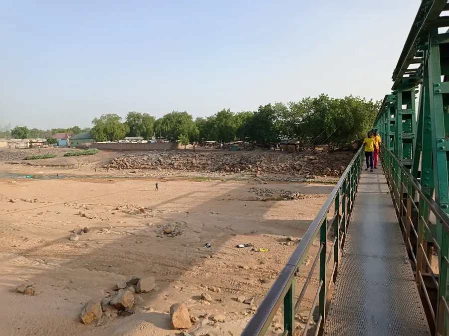
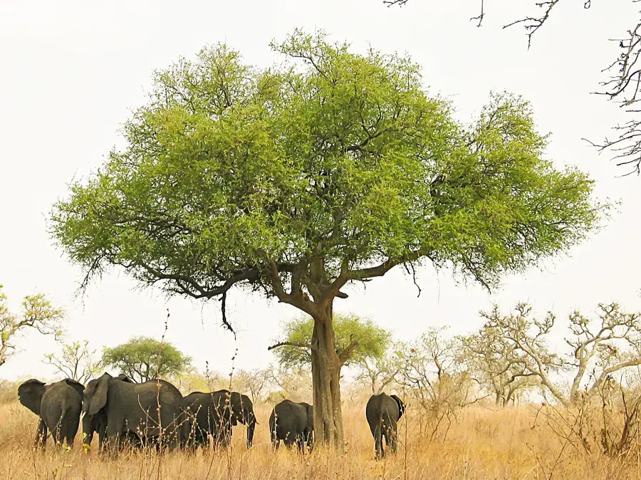
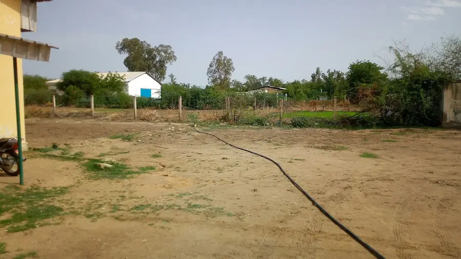
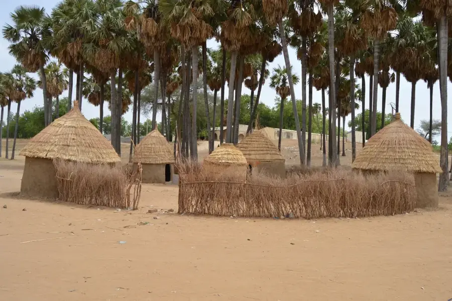
Bogo is the capital of Bogo subdivision in Diamaré Department of the Far North Region and lies about 30 kilometres north-east of Maroua in the Sudano-Sahelian lowlands. Its roughly 50 000 inhabitants are mostly Mousgoum, joined by Fulbe and Kotoko. The Mousgoum are world-famous for their cone-shaped, ornamentally ribbed mud-brick huts known as 'Cases Obus' or 'Tolek', among the most spectacular examples of African vernacular architecture. The economy rests on millet, sorghum, groundnuts and rice grown in the Logone valley, supplemented by dried-fish trade and intensive cattle herding. Highlights include reconstructed Tolek huts on the outskirts, the colourful weekly market and the Mayo-Boula pilgrimage sites. The semi-arid climate with a short, intense rainy season from June to September shapes the seasonal rhythms of the whole population.
- Location: Cameroon
- Nearby: Mora (62 km)
- Population: ~32.830 (2023)
Best time to visit & climate
The most pleasant time to visit is Jan, Nov, Dec.
| Jan | Feb | Mar | Apr | May | Jun | Jul | Aug | Sep | Oct | Nov | Dec | |
|---|---|---|---|---|---|---|---|---|---|---|---|---|
| Avg °C | 25 | 28 | 31 | 33 | 32 | 29 | 27 | 25 | 26 | 27 | 27 | 26 |
| Rain mm | 0 | 0 | 0 | 17 | 56 | 112 | 176 | 218 | 133 | 37 | 2 | 0 |
Geography
Facts
- Region: Far North
- Department: Diamaré
- Semi-arid climate
- Economy: livestock and agriculture
- Cultivation of cotton and millet
- Important regional marketplace
Explore nearby
Notable places around
Route planner — Car & Motorhome
Where do you start? We build the route here, with stops and country notes along the way.
© OpenStreetMap contributors · OpenRouteService
Sights in the town Bogo (1)
Frequently asked questions
What is Bogo?
When is it best there?
How is the environment?
What is there to see there?
Is the region ready for tourism?
Bogo: where is it located?
Bogo: when is the best time to visit?
Bogo: why is it worth visiting?

Nearby cities


History & landmarks
Nature

More places