Plizio Visual Lab
Mora
ℹ️Practical info — Mora
▾
🌤 Weather — 5 days
📍 Nearby
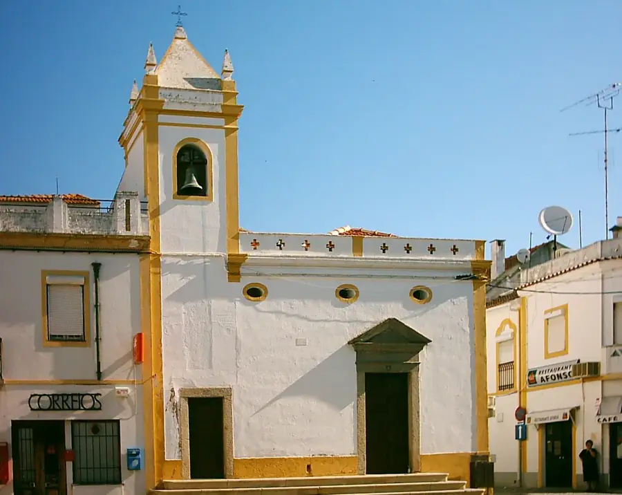
Sights nearby
💡 Tips
- Dress modestly to respect the predominantly Muslim local culture in this northern region.
- Protect yourself from the sun; the drier northern climate can be very harsh during midday.
- The town is a major trade hub; visit the weekly market for an animated local experience.
- Dust is common, so consider bringing a light scarf to protect your face when travelling.
🍽 Food
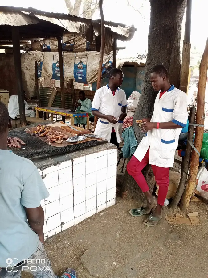
A staple dish available in almost every local eatery around the market.
Grab these freshly grilled street food snacks from vendors in the evening.
Often served by street vendors, a great way to relax like a local.
🛍 Shopping · 🧘 Quiet spots
A bustling hub for buying grains, local spices, and traditional fabrics.
Find handmade bags and sandals crafted by local artisans in the town center.
Hire a local guide for a scenic and quiet hike just outside the city.
Head to the edge of the city for peaceful views of the dry savannah sunset.
Water temperature…
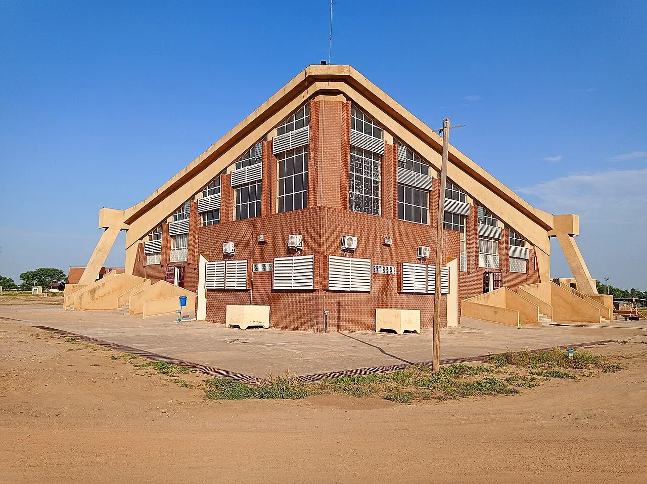
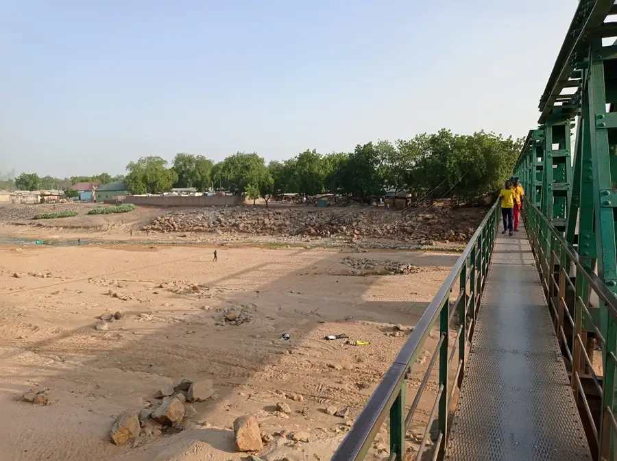
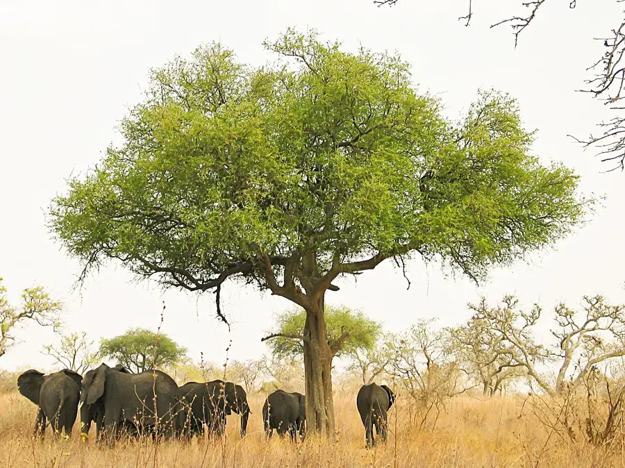
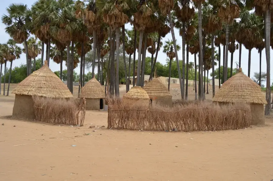
Mora lies in the north-east of the Far North Region at the foot of the Mandara Mountains, about 60 kilometres north of Maroua. Its roughly 60 000 inhabitants belong to several peoples, Wandala, Mafa, Kanuri and Fulbe, and the town is the seat of the historic Wandala lamidate, whose palace dates back to the eighteenth century. Mora sits strategically close to the Nigerian border and is a key hub for Sahelian cross-border trade. The economy rests on millet, sorghum, groundnuts, sesame, cattle and the famous Sunday weekly market, which draws traders from Chad and Nigeria. Highlights include the old lamidate palace, the Mafa mountain villages with their dry-stone architecture, the dramatic rock formations of Mémé and nearby Mont Oupay. The semi-arid Sudano-Sahelian climate delivers a short, intense rainy season from July to September and a long, dusty harmattan-driven winter.
- Location: Cameroon
- Top sights: Mora, Cameroon · Siege of Mora
- Nearby: Mokolo (50 km)
- Population: ~61.523 (2023)
Best time to visit & climate
The most pleasant time to visit is Jan, Nov, Dec.
| Jan | Feb | Mar | Apr | May | Jun | Jul | Aug | Sep | Oct | Nov | Dec | |
|---|---|---|---|---|---|---|---|---|---|---|---|---|
| Avg °C | 23 | 27 | 30 | 32 | 31 | 29 | 27 | 25 | 26 | 27 | 26 | 23 |
| Rain mm | 0 | 0 | 0 | 13 | 46 | 101 | 174 | 214 | 122 | 30 | 1 | 0 |
Geography
Facts
- Serves as a primary gateway to the Mandara Mountains.
- Important commercial center for the Far North Region.
- Historical significance as a regional administrative point.
- Vital link for local trade between mountain and plains communities.
- Economic focus on agriculture and local commerce.
- Key node in the Far North regional transportation network.
Explore nearby
Notable places around
Route planner — Car & Motorhome
Where do you start? We build the route here, with stops and country notes along the way.
© OpenStreetMap contributors · OpenRouteService
Sights in the town Mora (2)
Frequently asked questions
What is Mora?
When to visit?
How is the climate?
Is there history there?
Is it for travelers?
Mora: where is it located?
Mora: what is there to see?
Mora: when is the best time to visit?
Mora: why is it worth visiting?

Nearby cities


History & landmarks
Nature

More places