Plizio Visual Lab
Logone River
Weather…
Water temperature…
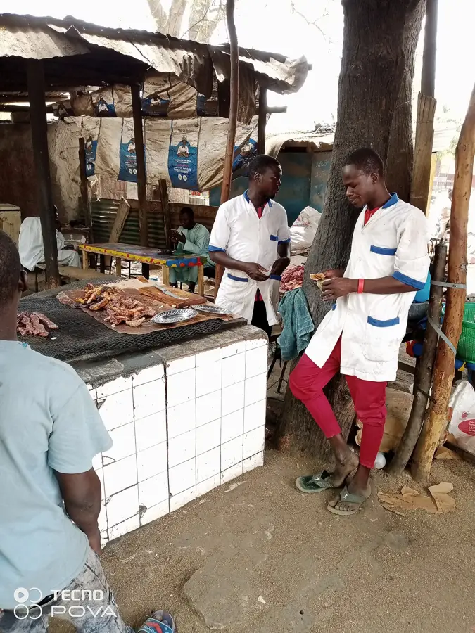
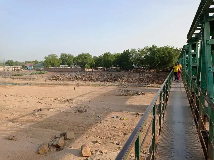
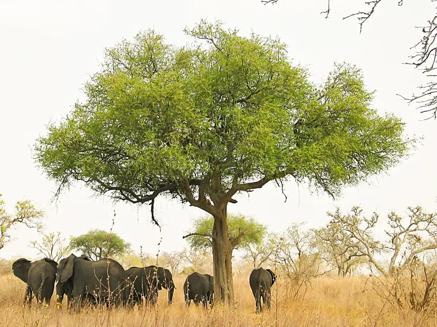
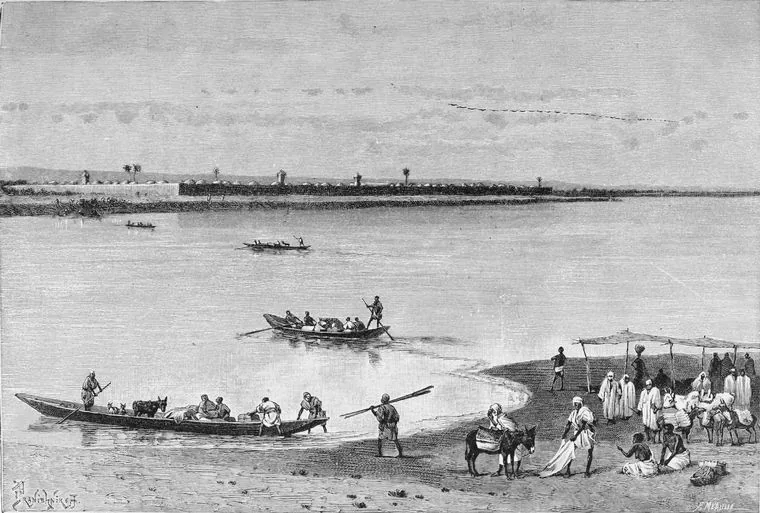
The Logone is the second most important river in Chad and the most significant tributary of the Chari. It originates in the highlands of Cameroon and the Central African Republic and flows over 950 kilometers through fertile plains before merging with the Chari in N'Djamena. The river is famous for its extensive marshlands and floodplains, known as Yaérés, which flood vast areas during the rainy season and serve as important fishing grounds. Historically, the Logone formed the border between various pre-colonial sultanates and was the site of important cultural encounters. Bordering nations Chad and Cameroon use the river intensively for rice cultivation and livestock farming, which, however, leads to conflicts over water distribution. The regulation of the river through dams, such as the Maga Dam in Cameroon, has massively influenced the ecological balance of the Yaéré plains. For wildlife, particularly migratory waterbirds, the Logone remains a critical resting stop on African migration routes. The river valley is also known for the traditional mud architectures of the Musgum people. Today, the Logone is the focus of international efforts for sustainable water management in the Sahel zone.
- Location: Cameroon
- Nearby: Yagoua (23 km)
Best time to visit & climate
The most pleasant time to visit is Jan, Nov, Dec.
| Jan | Feb | Mar | Apr | May | Jun | Jul | Aug | Sep | Oct | Nov | Dec | |
|---|---|---|---|---|---|---|---|---|---|---|---|---|
| Avg °C | 26 | 29 | 32 | 34 | 32 | 30 | 27 | 26 | 26 | 27 | 28 | 26 |
| Rain mm | 0 | 0 | 1 | 15 | 65 | 108 | 175 | 214 | 145 | 39 | 2 | 0 |
📋 Practical info
Geography
Facts
- The Logone is divided into two main branches: Logone Occidental and Logone Oriental.
- The Yaéré plains cover an area of approximately 8,000 square kilometers.
- The river is navigable for small boats as far as Bongor during the rainy season.
- The Logone forms the state border between Cameroon and Chad over long stretches.
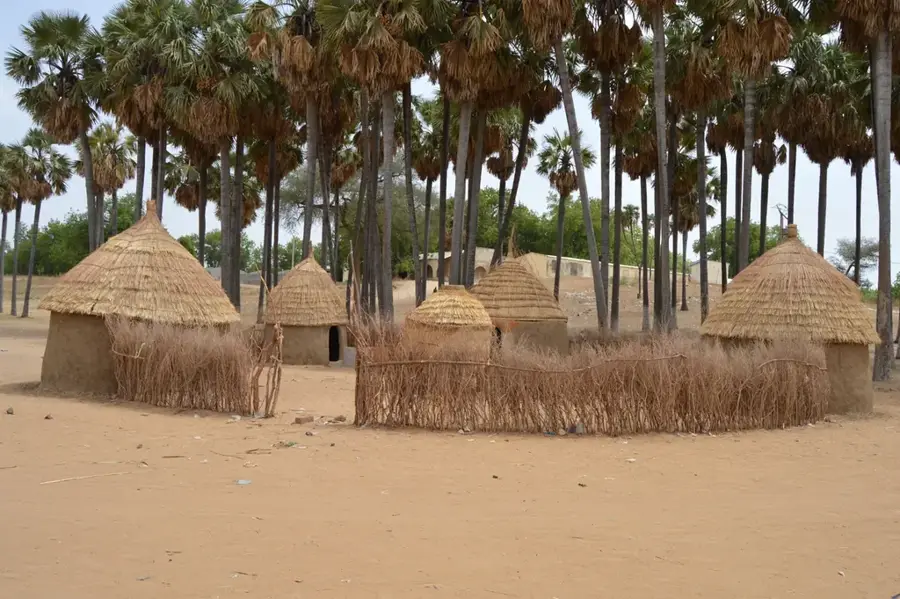
- Musgum houses (Tolek) in the Logone valley are famous for their shell-like shape.
- Over 50,000 tons of fish are caught annually in the Logone floodplains.
Explore nearby
Notable places around
Route planner — Car & Motorhome
Where do you start? We build the route here, with stops and country notes along the way.
© OpenStreetMap contributors · OpenRouteService
Sights nearby
Frequently asked questions
Where does the Logone River flow?
Can you fish on the Logone River?
What animals live in the Logone basin?
Is the river navigable?
Which city is located on the Logone?
Logone River: where is it located?
Logone River: when is the best time to visit?
Logone River: why is it worth visiting?

Nearby cities


History & landmarks
Nature

More places