Plizio Visual Lab
Mokolo
ℹ️Practical info — Mokolo
▾
🌤 Weather — 5 days
📍 Nearby
Sights nearby
💡 Tips
- Visit the local artisan markets, famous for traditional Mafa ironwork and pottery.
- The Mandara mountains offer spectacular hikes, but start early to avoid the extreme heat.
- Respect local traditions and always ask for permission before photographing people or their compounds.
- Dust can be intense during the dry season; bring a light scarf to cover your face.
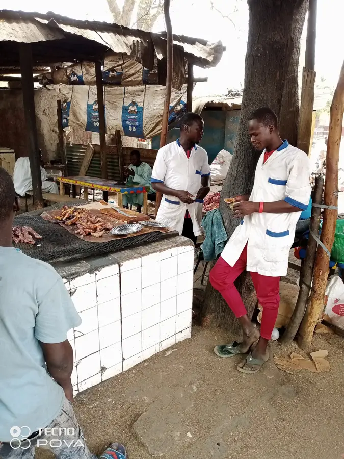
🍽 Food
A traditional drink often brewed and sold in the local neighborhoods.
A standard local staple served with peanut sauce in small eateries.
Found in the evenings at the busy street food spots in town.
🛍 Shopping · 🧘 Quiet spots
Distinctive and authentic crafts at the Mokolo artisan market.
Spirited fabrics can be purchased at the main market stalls.
Remarkable and silent, excellent for moments of contemplation in nature.
On non-market days, there is a very peaceful village atmosphere here.
Water temperature…
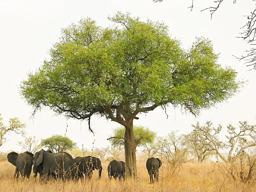
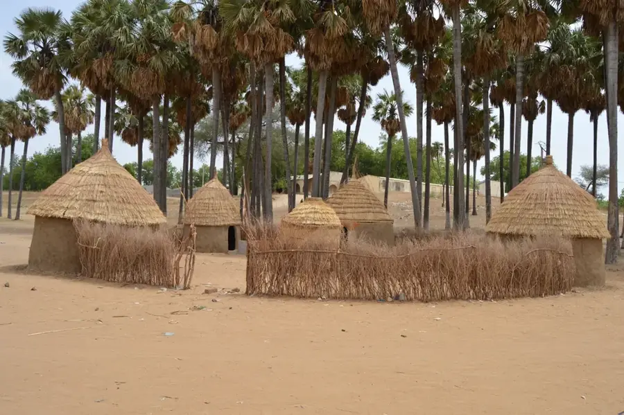
Mokolo lies in the Mandara Mountains at about 800 metres elevation and is the capital of Mayo-Tsanaga Department in the Far North Region. With around 80 000 inhabitants, it is the main urban centre of the Mafa, a people world-famous for their terraced mountain slopes and intricate dry-stone architecture. The area is one of Africa's most densely populated rural regions, as the Mafa cultivate millet, sorghum and groundnuts on even the steepest slopes. Mokolo is the gateway to the tourist site of Rhumsiki with its striking volcanic rock spires, as well as to Mount Oupay and the 'Cap de Maroua'. The economy is dominated by the weekly market, leather working, ironwork from the Sirak blacksmiths and tourism. The pleasant mountain climate is noticeably cooler than the surrounding Sahelian lowlands, making the town particularly attractive.
- Location: Cameroon
- Nearby: Rhumsiki (35 km)
- Population: ~51.999 (2023)
Best time to visit & climate
The most pleasant time to visit is Jan, Nov, Dec.
| Jan | Feb | Mar | Apr | May | Jun | Jul | Aug | Sep | Oct | Nov | Dec | |
|---|---|---|---|---|---|---|---|---|---|---|---|---|
| Avg °C | 24 | 27 | 30 | 31 | 30 | 28 | 25 | 24 | 25 | 26 | 26 | 24 |
| Rain mm | 0 | 0 | 1 | 21 | 66 | 129 | 202 | 236 | 145 | 39 | 1 | 0 |
Geography
Facts
- Administrative center of the Mayo-Tsanaga division.
- Set in a scenic, rugged mountainous environment.
- Known for unique mountain-based agricultural terraces.
- Important cultural hub for the Mafa ethnic group.
- Renowned for its traditional pottery and artisan crafts.
- Key regional market for mountain-grown crops.
Explore nearby
Notable places around
Route planner — Car & Motorhome
Where do you start? We build the route here, with stops and country notes along the way.
© OpenStreetMap contributors · OpenRouteService
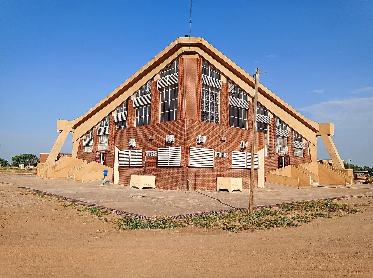
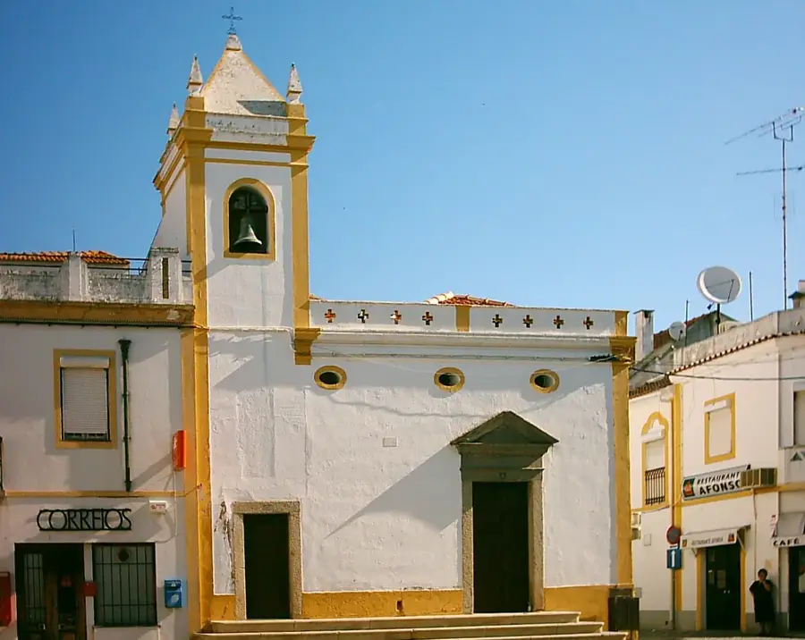
Sights in the town Mokolo (1)
Frequently asked questions
How many days should one plan for Mokolo?
When is the best time to visit?
How to get to Mokolo?
What is typical for the local cuisine?
Is Mokolo family-friendly?
Mokolo: where is it located?
Mokolo: when is the best time to visit?
Mokolo: why is it worth visiting?

Nearby cities


History & landmarks
Nature

More places