Plizio Visual Lab
Upper Struma Gorge
Weather…
Water temperature…
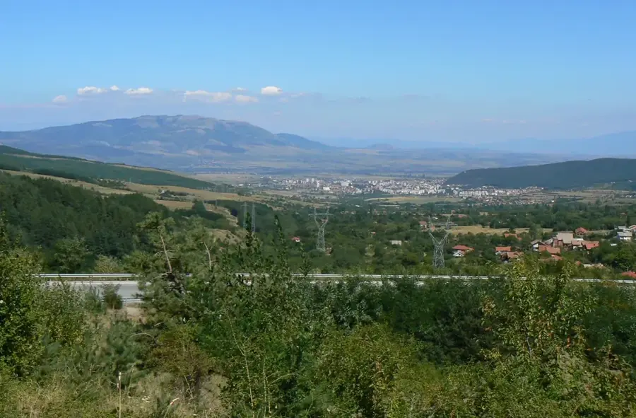
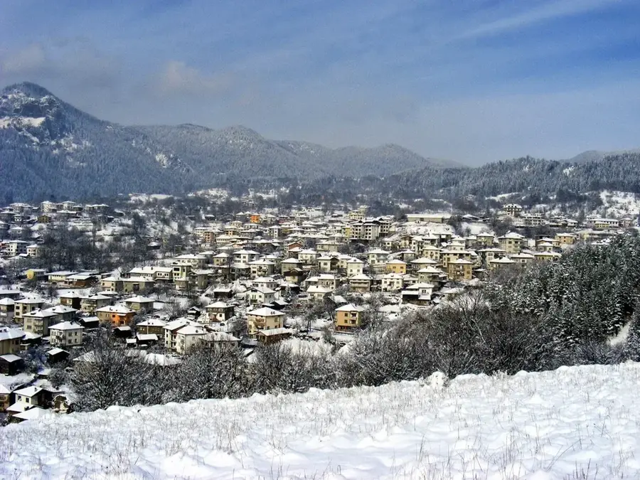
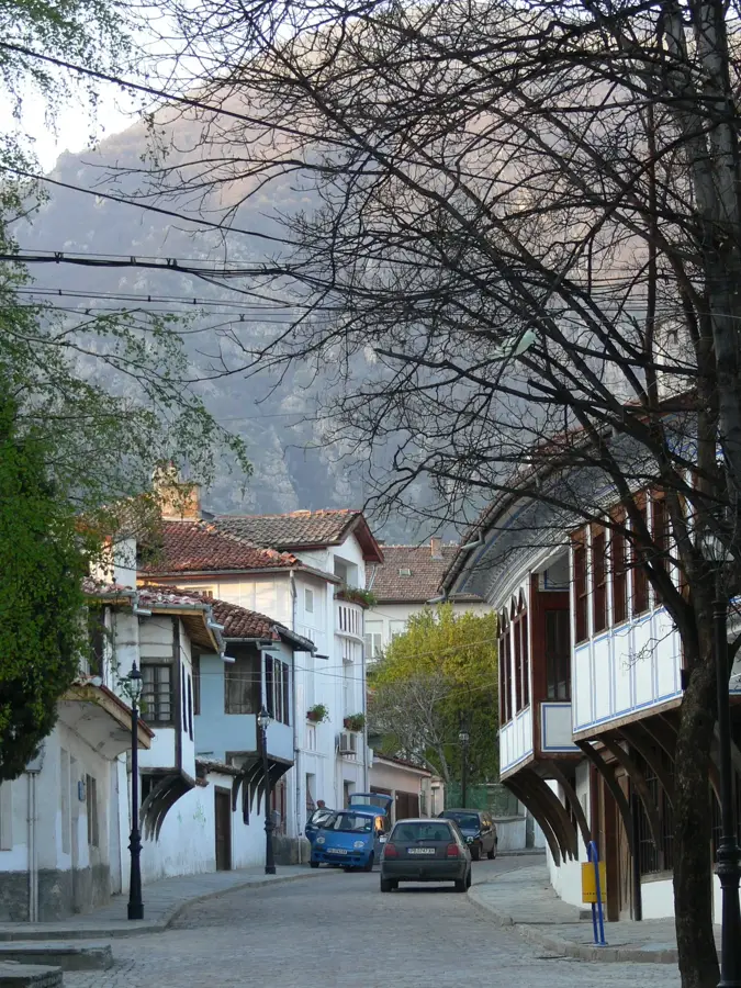
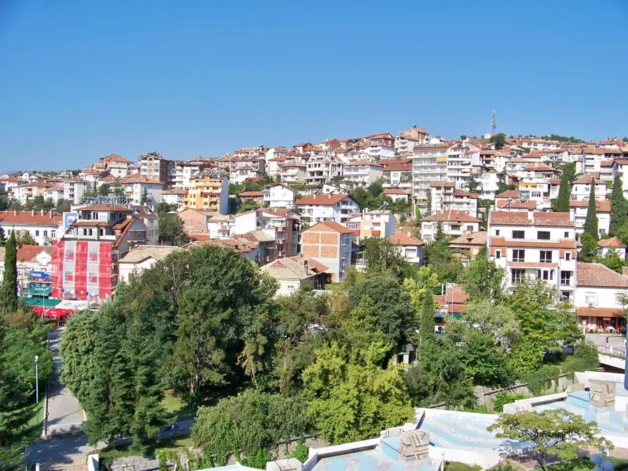
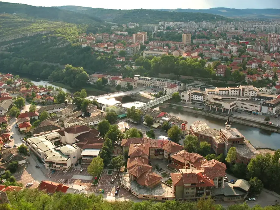
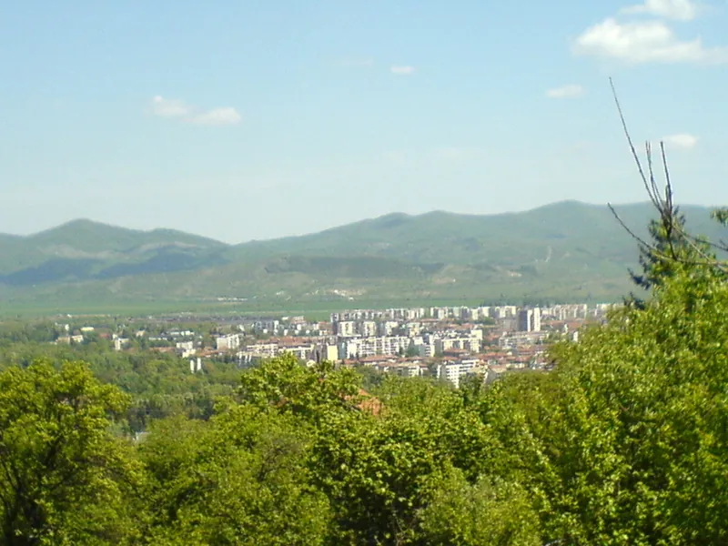
The Upper Struma Gorge, also known as the Kresna Gorge, is a tectonically and erosionally formed breakthrough valley in southwestern Bulgaria. It stretches for approximately 17 kilometers between the mountain massifs of Pirin to the east and Maleshevo to the west. The gorge is geologically characterized by steep granite and gneiss walls, some plunging nearly vertically for several hundred meters. Due to its location, the gorge serves as a crucial climatic corridor through which Mediterranean air masses can penetrate far to the north, fostering exceptional biodiversity. Historically, this bottleneck has always been of strategic importance and was the site of significant military engagements, particularly during the Balkan Wars of 1913. Today, the gorge is not only a vital transport artery for the Pan-European Corridor IV but also a hub for whitewater rafting and nature conservation. The seismic activity in this region is among the highest in the Balkan Peninsula, highlighting the continuous geomorphological evolution of the gorge.
- Location: Bulgaria
- Nearby: Golyamo Selo (7 km)
Best time to visit & climate
The most pleasant time to visit is Jun–Aug.
| Jan | Feb | Mar | Apr | May | Jun | Jul | Aug | Sep | Oct | Nov | Dec | |
|---|---|---|---|---|---|---|---|---|---|---|---|---|
| Avg °C | -3 | -1 | 3 | 7 | 12 | 17 | 20 | 20 | 15 | 10 | 4 | -1 |
| Rain mm | 52 | 44 | 58 | 59 | 71 | 76 | 56 | 51 | 51 | 56 | 45 | 57 |
📋 Practical info
Geography
Facts
- The gorge was struck by the 1904 Kresna earthquake, measuring a magnitude of 7.8.
- The width of the valley floor at its narrowest points is only a few dozen meters.
- Over 3,500 species of flora and fauna inhabit the gorge, including Mediterranean endemics.
- The Struma River descends significantly in altitude throughout this 17-km stretch.
- The modern road through the gorge follows ancient Roman trade routes (Via Aristotelis).
- The Kresna Gorge serves as a critical stopover and wintering site for migratory birds.
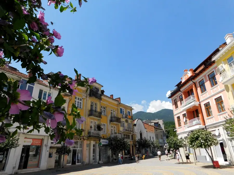
Explore nearby
Notable places around
Route planner — Car & Motorhome
Where do you start? We build the route here, with stops and country notes along the way.
© OpenStreetMap contributors · OpenRouteService
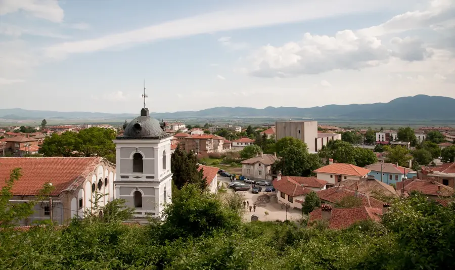
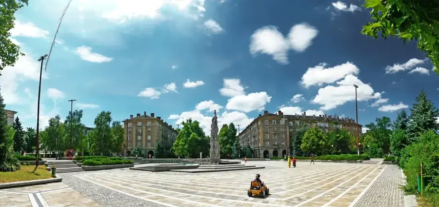
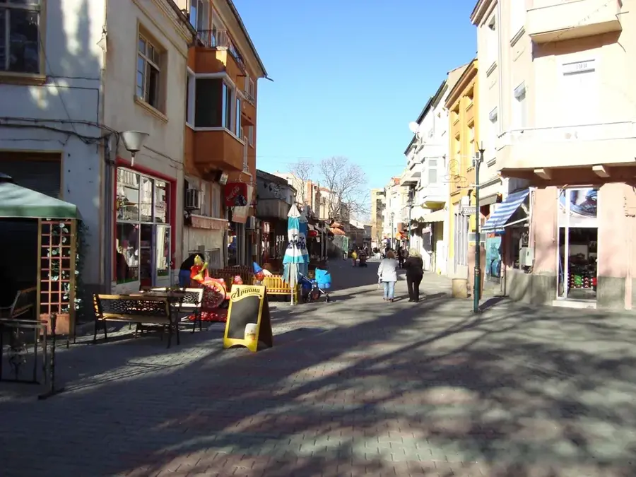
Sights in the town Upper Struma Gorge (1)
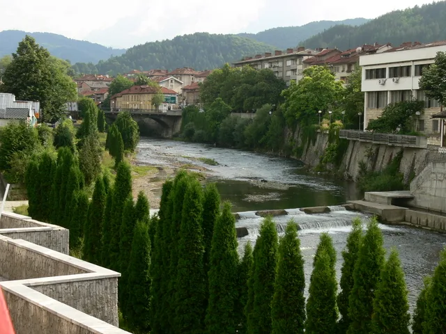
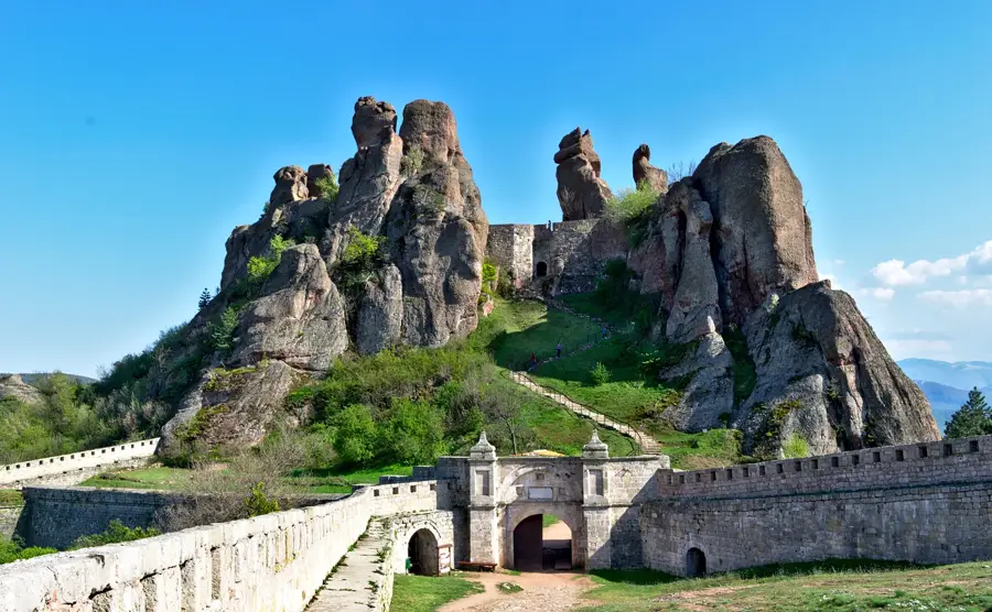
Sights nearby
Frequently asked questions
What is the Kresna Gorge?
Can you go rafting there?
Why is the climate special here?
Are there dangerous animals?
Is the gorge well-developed?
Upper Struma Gorge: where is it located?
Upper Struma Gorge: when is the best time to visit?
Upper Struma Gorge: why is it worth visiting?

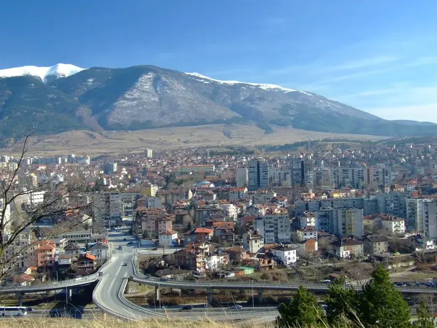
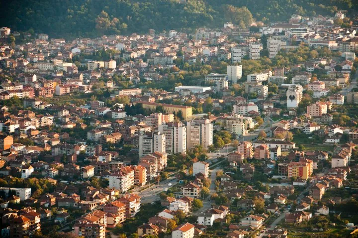
Nearby cities
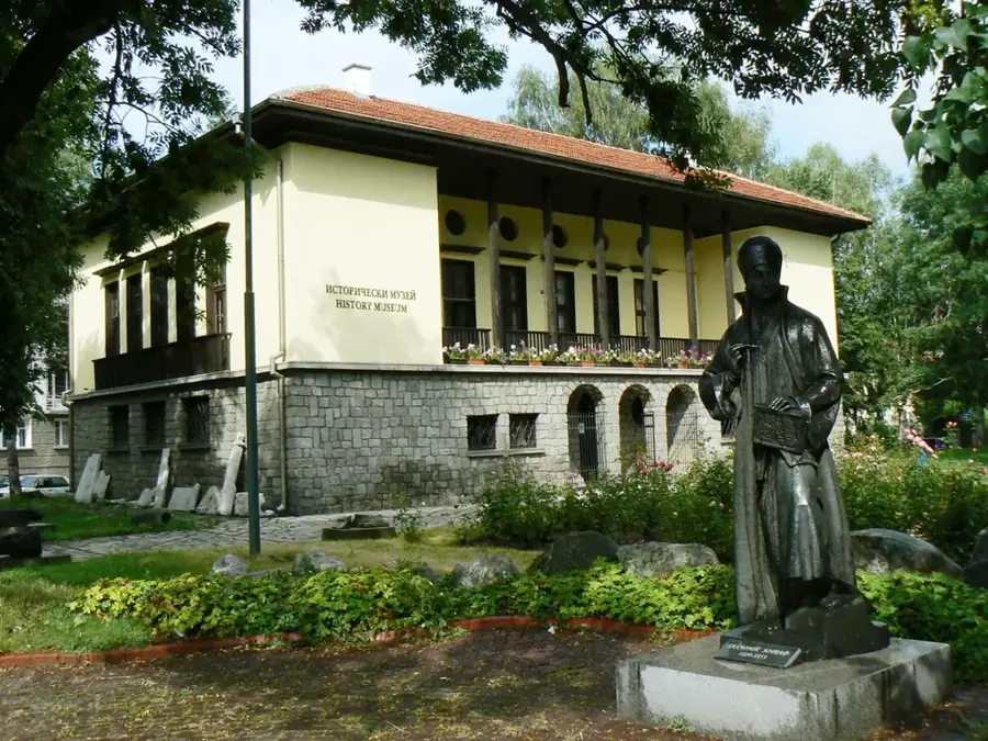
History & landmarks