Plizio Visual Lab
Struma Basin
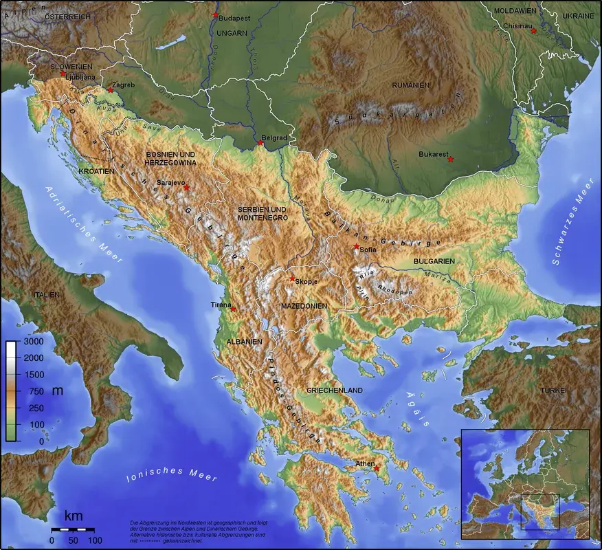
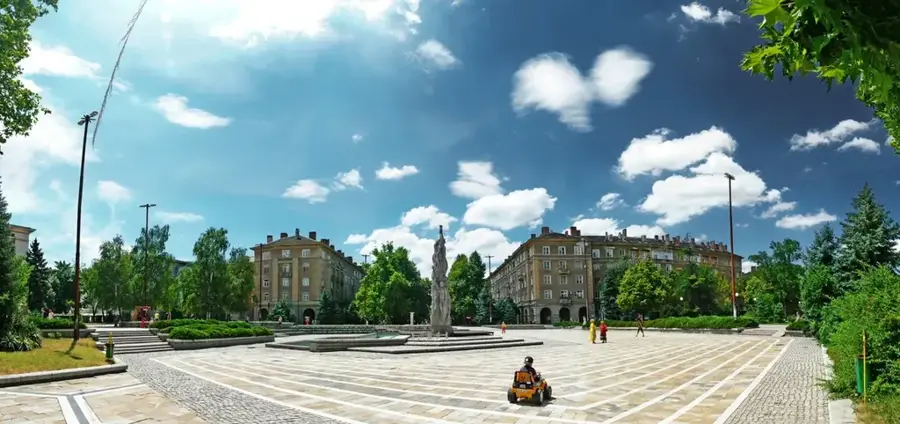
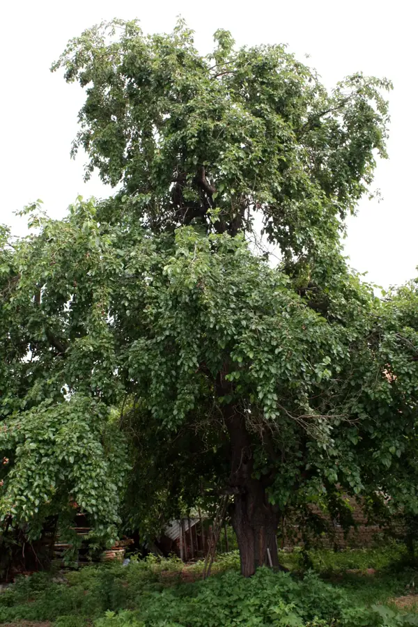
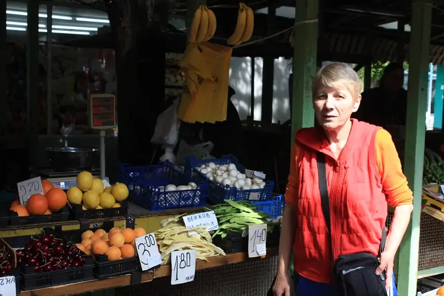
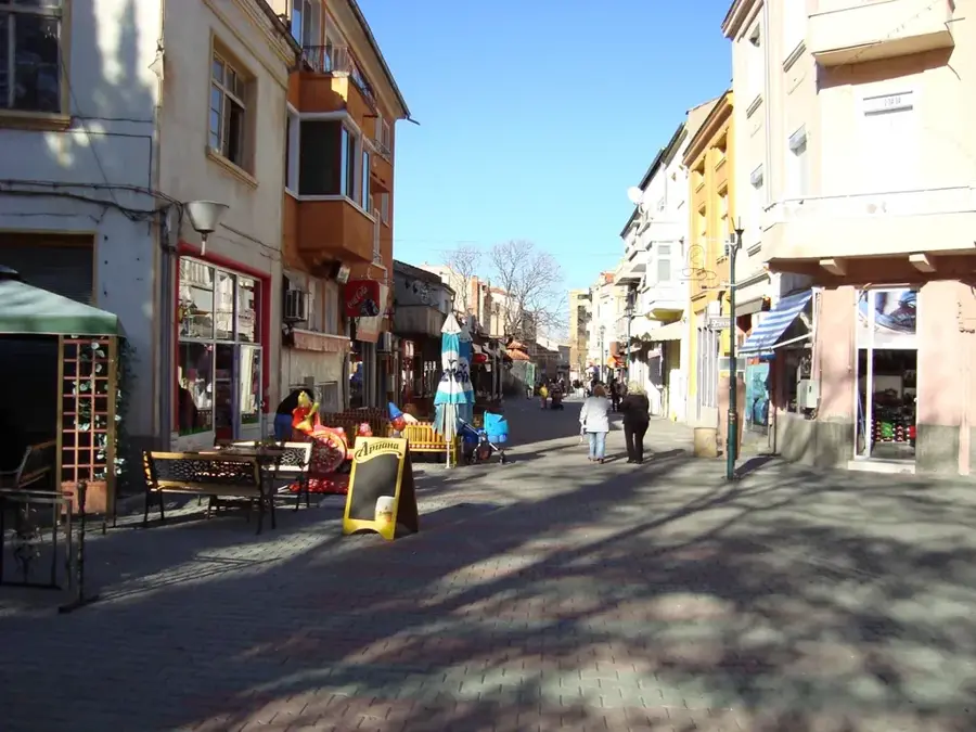
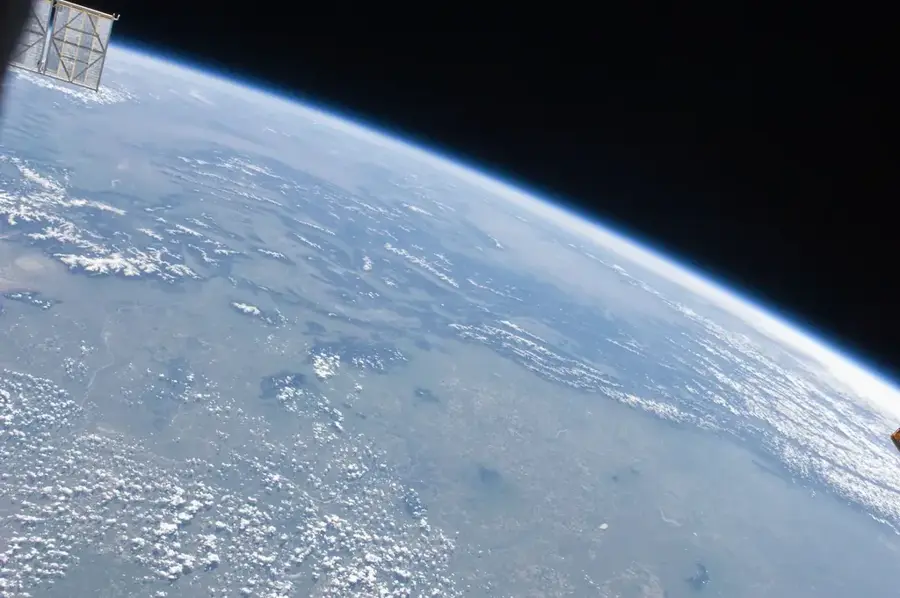
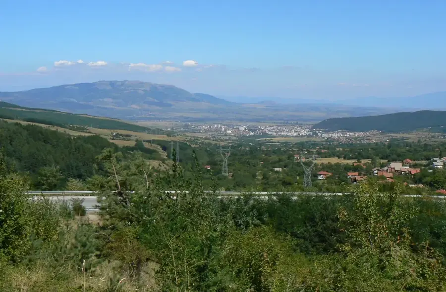
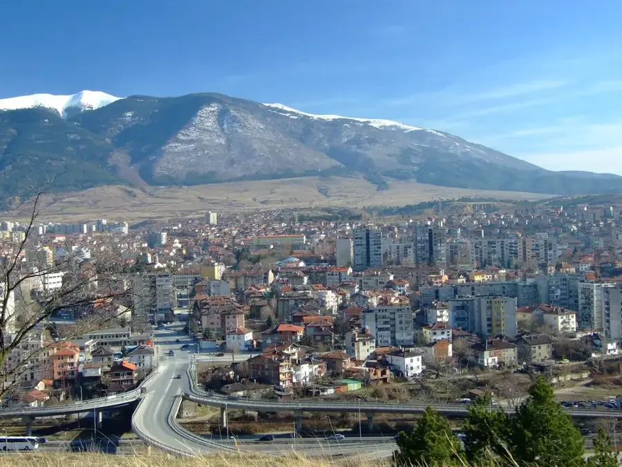
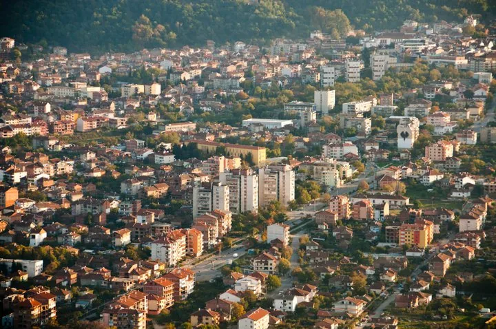
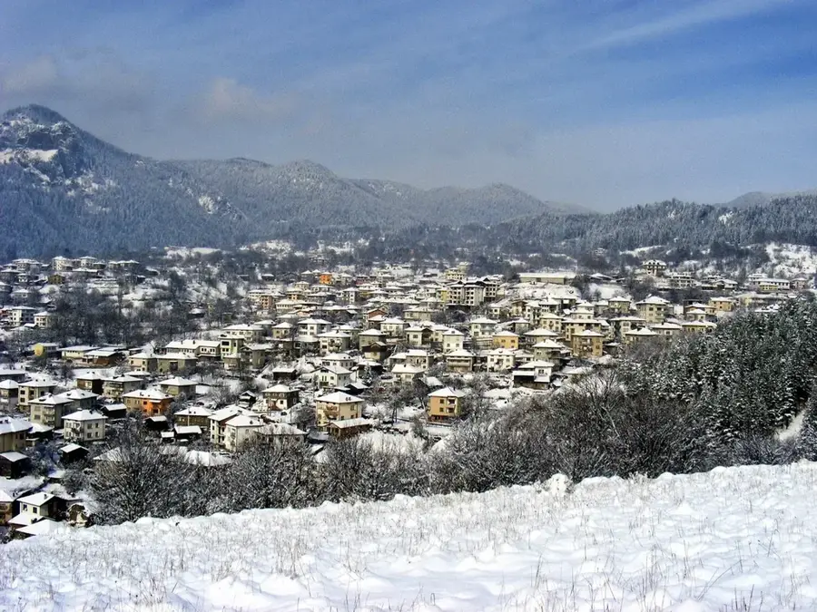
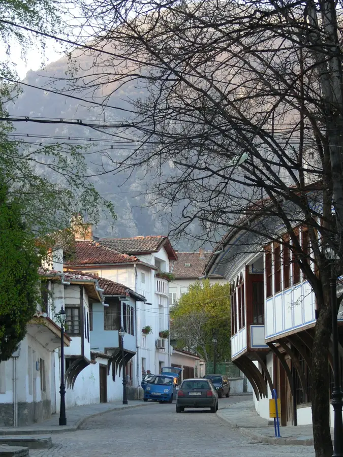
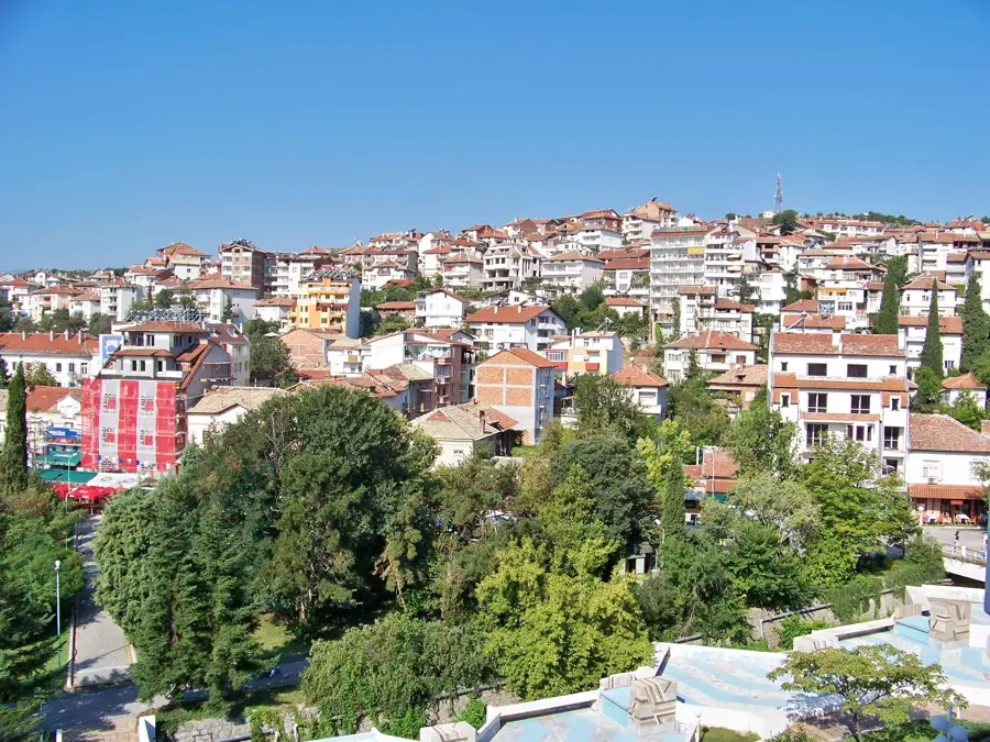
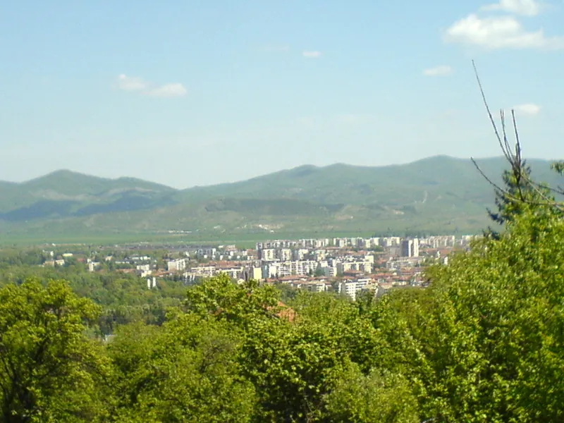
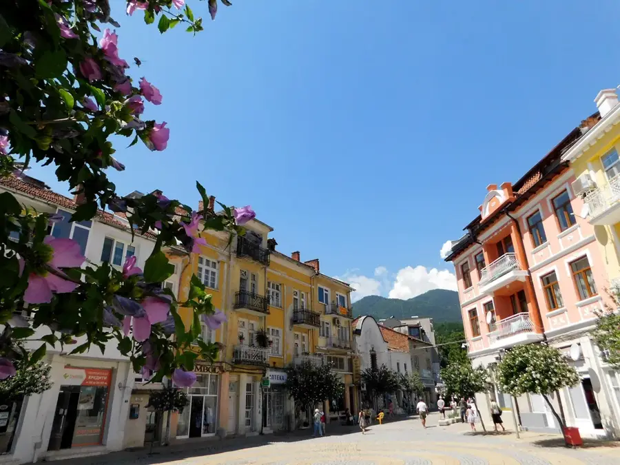
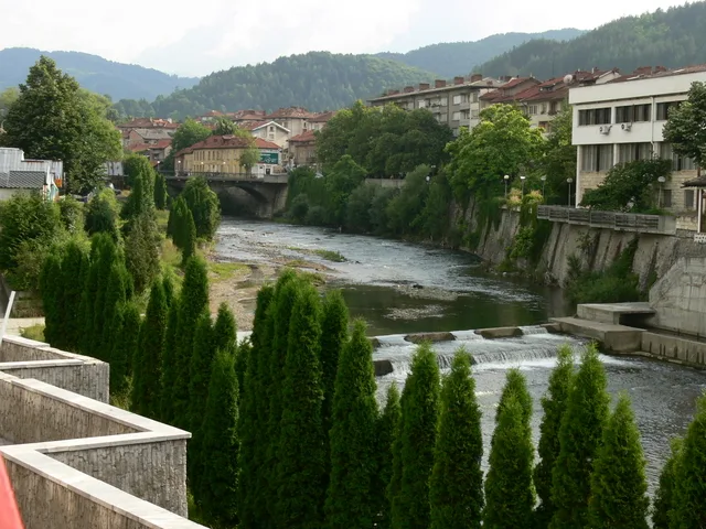
The Struma Basin is an extensive tectonic graben structure in southwestern Bulgaria, defined by the course of the Struma River. This relief section was formed during the Tertiary period through massive faulting and subsidence between the surrounding mountain massifs. The basin is characterized by a sequence of fertile valley floors and narrow gorges, with the Sandanski-Petrich Valley being the most prominent. Geologically, the region features Neogene sediments and volcanic remnants, such as the extinct Kozhuh volcano. Due to its position in the extreme southwest, the basin is the warmest region in Bulgaria, exhibiting a distinct sub-Mediterranean climate that supports unique flora and specialized agriculture. Historically, the basin served as a vital corridor for trade and military movements between the Danube Plain and the Aegean Sea. Today, it is a hub for viticulture, the cultivation of Mediterranean fruits, and health tourism driven by numerous thermal springs.
- Location: Bulgaria
- Nearby: Golyamo Selo (28 km)
Best time to visit & climate
The most pleasant time to visit is Jun–Aug.
| Jan | Feb | Mar | Apr | May | Jun | Jul | Aug | Sep | Oct | Nov | Dec | |
|---|---|---|---|---|---|---|---|---|---|---|---|---|
| Avg °C | -3 | -1 | 3 | 7 | 12 | 17 | 20 | 20 | 15 | 10 | 4 | -1 |
| Rain mm | 52 | 44 | 58 | 59 | 71 | 76 | 56 | 51 | 51 | 56 | 45 | 57 |
📋 Practical info
Geography
Facts
- The Struma Basin contains Sandanski, the city with the highest annual sunshine in Bulgaria.
- The Struma River flows for 290 km through Bulgaria before entering Greece.
- The region is the exclusive producer of the 'Broad-leaved Melnik Vine' grape variety.
- The volcanic hill of Kozhuh is the last remnant of volcanic activity in Bulgaria (1 million years ago).
- The basin hosts thermal springs with temperatures reaching up to 80 degrees Celsius.
- It is the primary transit corridor for the E79 international road connecting Europe to Athens.
Explore nearby
Notable places around
Route planner — Car & Motorhome
Where do you start? We build the route here, with stops and country notes along the way.
© OpenStreetMap contributors · OpenRouteService
Sights nearby
Frequently asked questions
What is the Struma Basin?
Which city is the most important center?
Is the climate warmer here?
Are there thermal baths?
What is the main transport route?
Struma Basin: where is it located?
Struma Basin: when is the best time to visit?
Struma Basin: why is it worth visiting?

Nearby cities