Plizio Visual Lab
Danubian Plain
Weather…
Water temperature…
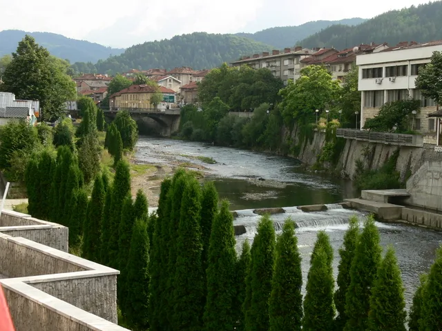
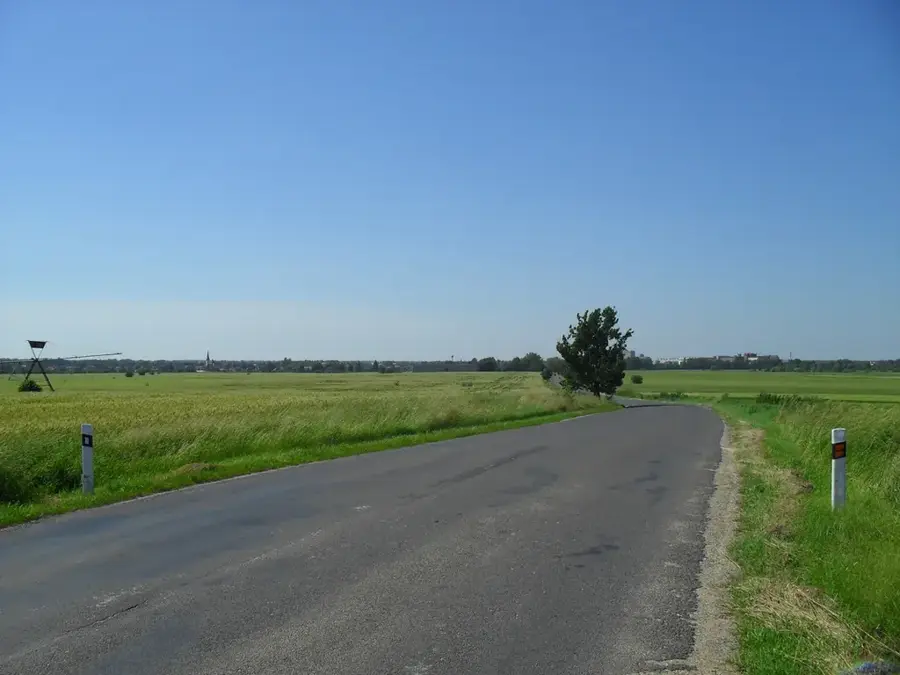
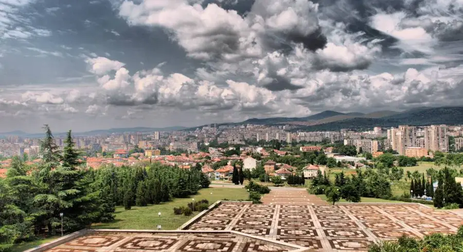
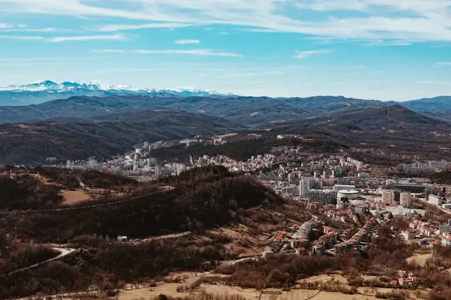
The Danubian Plain forms the northern part of Bulgaria, situated between the Danube River to the north and the Fore-Balkan hills to the south. This extensive landscape is characterized by a slightly undulating topography that was primarily shaped during the Neogene and Quaternary periods. A defining feature of the region is the thick layers of loess, which can reach depths of up to 100 meters near the banks of the Danube, providing the base for exceptionally fertile chernozem soils. Historically, the area has served as the nation's primary granary, supporting large-scale agriculture for crops such as wheat, maize, and sunflowers. The climate is distinctly continental, featuring hot summers and cold winters influenced by air masses from the north. Several significant rivers, including the Iskar and Yantra, bisect the plain as they flow northward to join the Danube. Archaeological evidence shows the plain has been inhabited since antiquity, with Roman fortress ruins along the Danubian Limes marking its historical strategic value. Today, major economic and cultural centers like Pleven, Ruse, and Shumen are located within this vital geographical unit.
- Location: Bulgaria
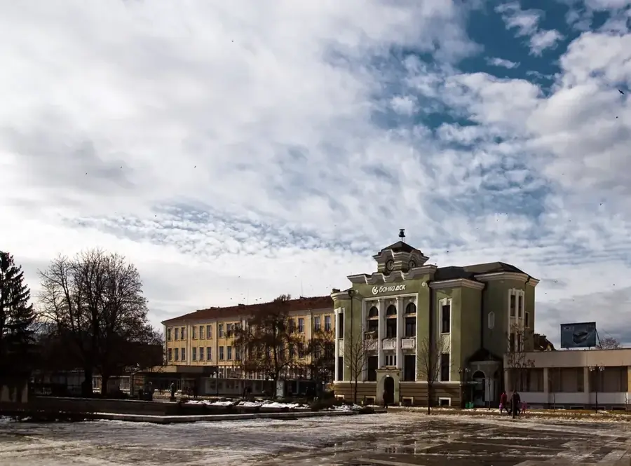
- Nearby: Batenberg (24 km)
Best time to visit & climate
The most pleasant time to visit is May, Jun, Sep.
| Jan | Feb | Mar | Apr | May | Jun | Jul | Aug | Sep | Oct | Nov | Dec | |
|---|---|---|---|---|---|---|---|---|---|---|---|---|
| Avg °C | 0 | 2 | 7 | 12 | 18 | 23 | 25 | 25 | 20 | 13 | 7 | 1 |
| Rain mm | 44 | 39 | 47 | 46 | 74 | 80 | 66 | 46 | 53 | 56 | 38 | 47 |
📋 Practical info
Geography
Facts
- The total area of the plain is approximately 31,000 square kilometers.
- The average elevation of the region is 178 meters above sea level.
- Loess layers near the Danube reach a maximum thickness of 100 meters.
- The Danube River forms the northern boundary for a length of 471 kilometers.
- The region contains about 35% of Bulgaria's total arable land.
- The highest point of the plain reaches just over 500 meters in the east.
Explore nearby
Notable places around
Route planner — Car & Motorhome
Where do you start? We build the route here, with stops and country notes along the way.
© OpenStreetMap contributors · OpenRouteService
Sights nearby
Frequently asked questions
How is the Danubian Plain used economically?
Which rivers traverse the plain?
Are there significant nature reserves there?
What is the terrain like?
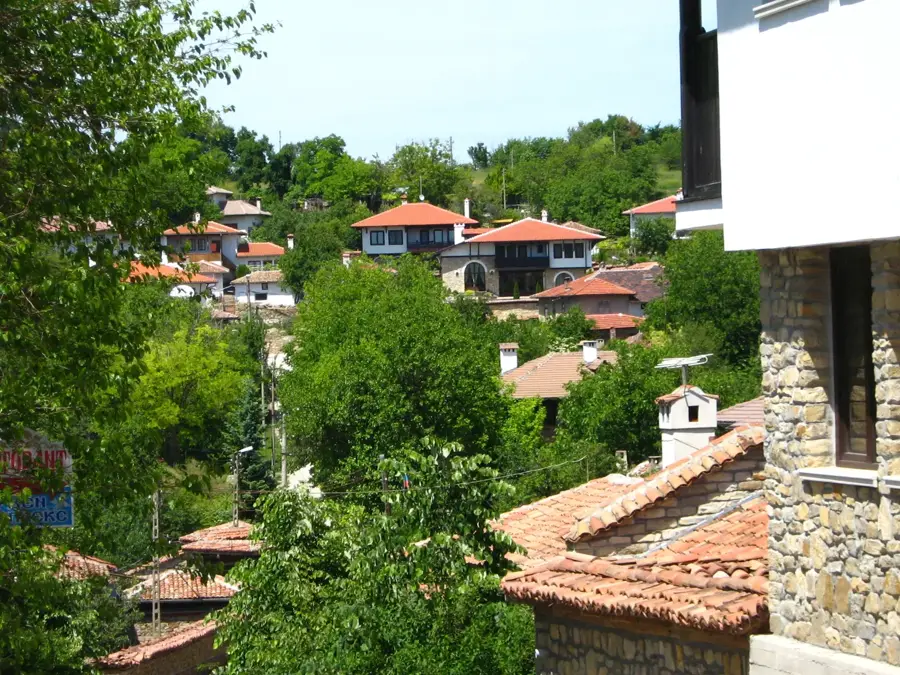
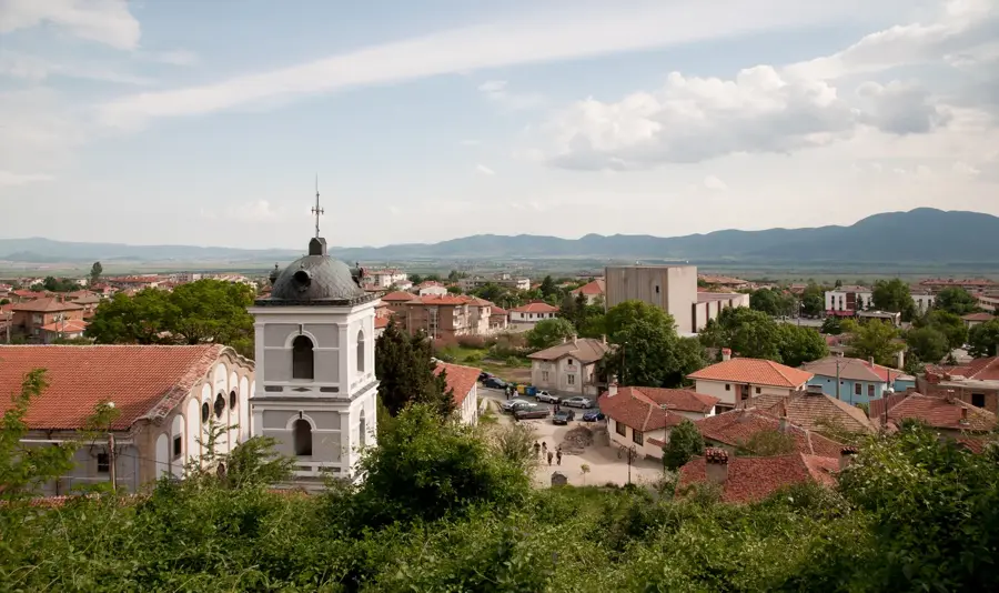
Which cities are worth visiting?
Danubian Plain: where is it located?
Danubian Plain: when is the best time to visit?
Danubian Plain: why is it worth visiting?

Nearby cities
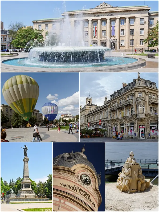

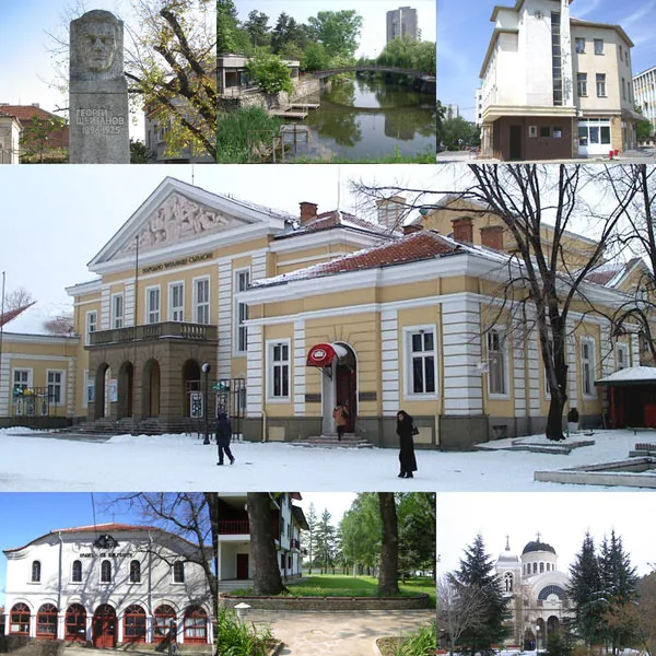


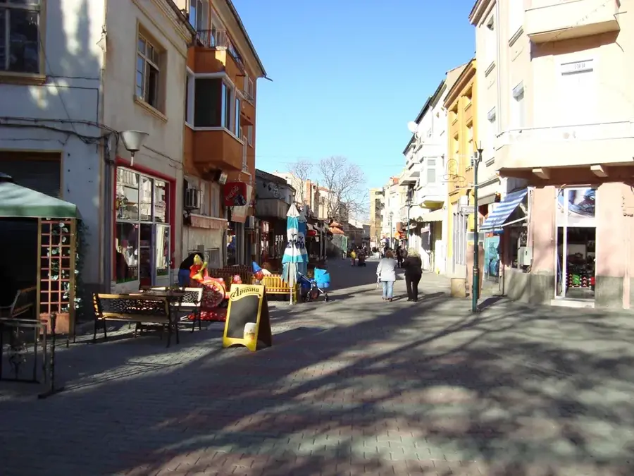
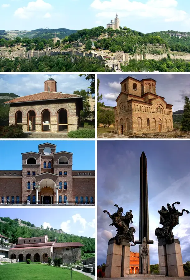
History & landmarks