Plizio Visual Lab
Stare Planine

Weather…
Water temperature…
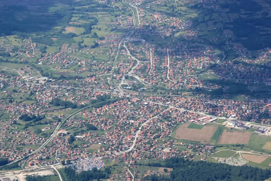
The Stare Planine, in the Bosnian context, often refers to the mountainous regions surrounding Kalinovik and the upper Drina valley. This area is characterized by an archaic, almost pristine mid-mountain landscape with dense coniferous forests and expansive high plateaus. Geologically, the region is a mosaic of limestone and sedimentary layers, carved by numerous streams and small rivers. Historically, this territory was an essential link between Herzegovina and eastern Bosnia, inhabited by mountain farmers and shepherds whose way of life remained largely unchanged for centuries. The architecture of traditional villages in this area testifies to the adaptation to harsh winters and the clever use of local materials like wood and stone. Today, the region holds immense potential for ecotourism, as it lies far from major tourist centers and features authentic nature experiences. The Stare Planine also serve as a sanctuary for endangered species such as the lynx and the western capercaillie, which find good living conditions in the remote forests. The tranquility and vastness of the landscape make this area a quiet find for hikers seeking peace and quiet away from the crowds.
- Location: Bosnia and Herzegovina
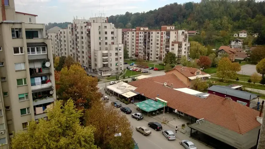
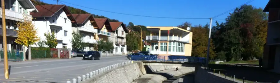
- Top sights: Gornja Bukovica, Maglaj · Donja Bukovica, Maglaj
- Nearby: Ozren (settlement) (6 km)
Best time to visit & climate
The most pleasant time to visit is Jun–Aug.
| Jan | Feb | Mar | Apr | May | Jun | Jul | Aug | Sep | Oct | Nov | Dec | |
|---|---|---|---|---|---|---|---|---|---|---|---|---|
| Avg °C | 0 | 1 | 6 | 11 | 15 | 20 | 22 | 23 | 17 | 12 | 7 | 1 |
| Rain mm | 60 | 60 | 65 | 65 | 94 | 94 | 67 | 63 | 74 | 66 | 65 | 66 |
📋 Practical info
Geography
Facts
- The region is situated at an average elevation between 1,000 and 1,400 meters.
- Kalinovik serves as the administrative and cultural heart of this mountain area.
- The area features numerous stećci, unique medieval tombstones characteristic of the region.
- The flora includes rare orchid species and endemic mountain herbs.
- The area is locally famous for its traditional mountain cheese production.
- Annual precipitation rates are among the highest in the Bosnian interior.
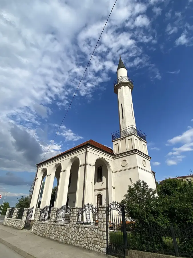
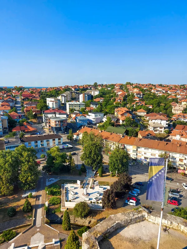
Explore nearby
Notable places around
Route planner — Car & Motorhome
Where do you start? We build the route here, with stops and country notes along the way.
© OpenStreetMap contributors · OpenRouteService
Sights in the town Stare Planine (2)
Sights nearby
Frequently asked questions
What are the Stare Planine?
What is the difficulty of the hiking trails?
Are there wild animals in the region?
When is the safest time for tours?
Is there a danger of mines there?
Stare Planine: where is it located?
Stare Planine: what is there to see?
Stare Planine: when is the best time to visit?
Stare Planine: why is it worth visiting?
Nearby cities