Plizio Visual Lab
Tunupa Volcano
Weather…
Water temperature…
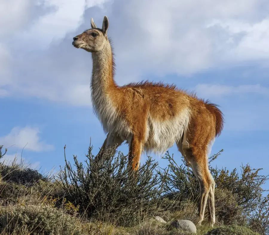
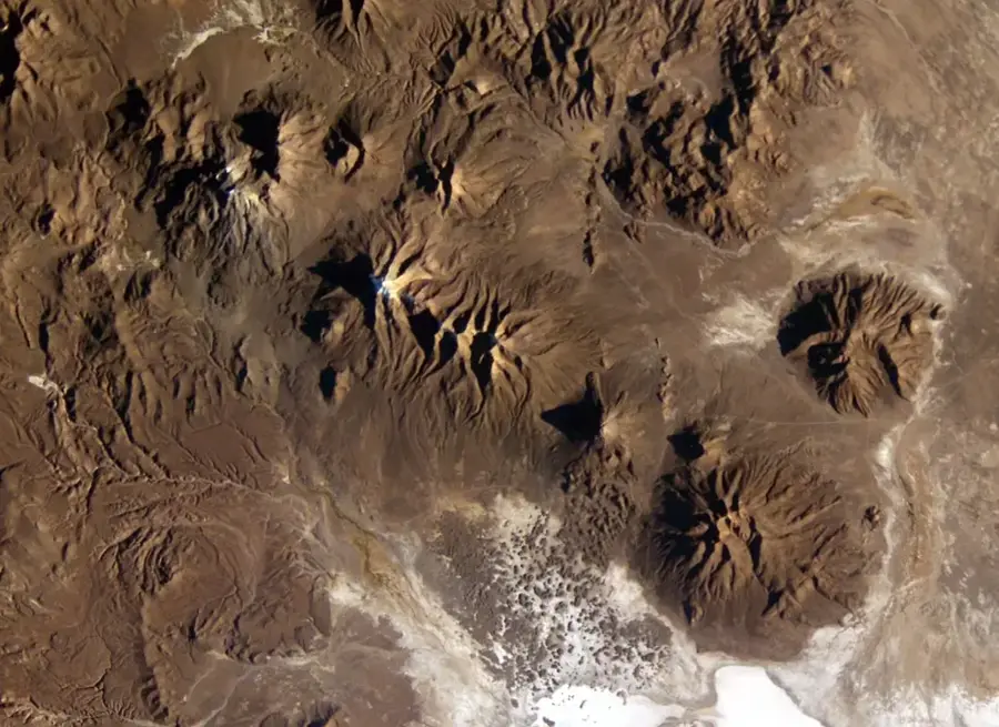
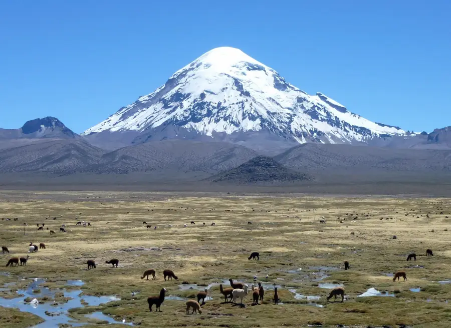
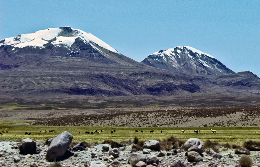
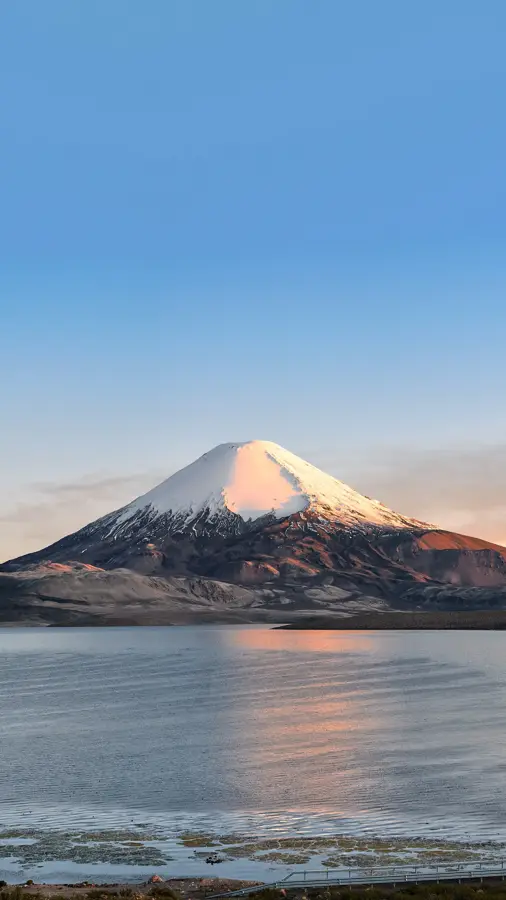
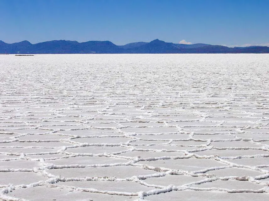
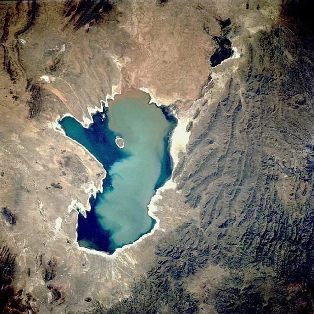
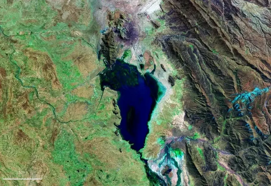
Tunupa Volcano is an extinct stratovolcano in southwestern Bolivia, rising majestically from the northern edge of the Salar de Uyuni. At an elevation of 5,321 meters, it dominates the surrounding Altiplano landscape and provides spectacular views of the world's largest salt flat. The volcano is primarily composed of layered lava flows and pyroclastic deposits. In Aymara mythology, Tunupa is a central figure, often personified as a female deity whose tears, according to legend, created the salt flat itself. The mountain's slopes are home to significant archaeological sites, most notably the Coquesa mummies, which rest in a cave at an altitude of about 4,000 meters. Vegetation on the volcano is sparse, consisting mainly of hardy bunchgrasses and cushion plants adapted to the extreme thin air and cold temperatures. The volcano is a favored destination for hikers and climbers seeking to experience its unique blend of cultural history and geographical grandeur.
- Location: Bolivia
- Top sights: Crater View · Museo Artesanal de Coqueza · Mirador del Crater del Volcan Thunupa (desde Jirira)
Best time to visit & climate
The most pleasant time to visit is Mar, Nov, Dec.
| Jan | Feb | Mar | Apr | May | Jun | Jul | Aug | Sep | Oct | Nov | Dec | |
|---|---|---|---|---|---|---|---|---|---|---|---|---|
| Avg °C | 12 | 11 | 10 | 8 | 4 | 3 | 2 | 4 | 6 | 8 | 10 | 12 |
| Rain mm | 81 | 74 | 45 | 13 | 3 | 4 | 3 | 3 | 9 | 18 | 19 | 59 |
📋 Practical info
Geography
Facts
- Elevation: 5,321 meters above sea level
- Location: Directly north of the Salar de Uyuni
- The Coquesa mummies are approximately 700 years old
- Last active volcanic phase was millions of years ago
- Considered a sacred mountain by the Aymara people
- The village of Coquesa serves as the base for climbs
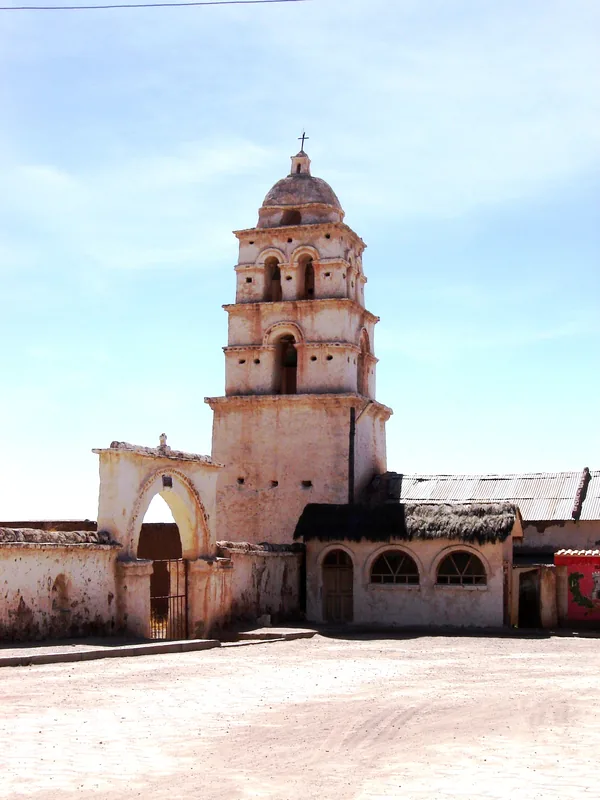
Explore nearby
Notable places around
Route planner — Car & Motorhome
Where do you start? We build the route here, with stops and country notes along the way.
© OpenStreetMap contributors · OpenRouteService
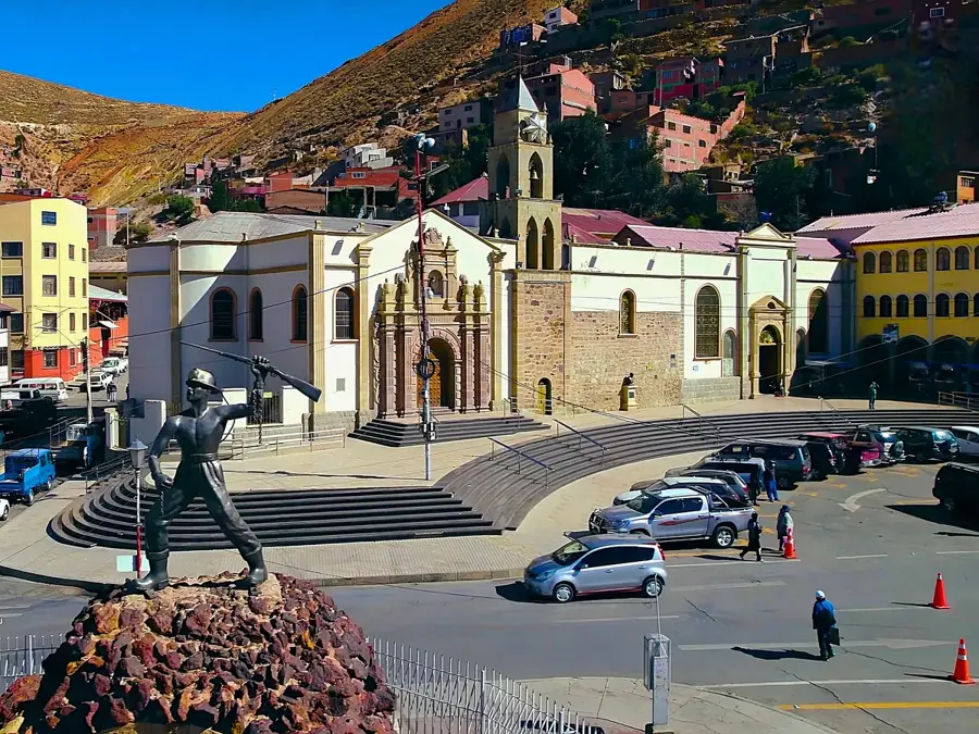
Sights in the town Tunupa Volcano (8)
Sights nearby
Frequently asked questions
Can you climb the volcano?
How is the view?
Where to stay?
Are there toilets there?
How is the ascent?
Tunupa Volcano: where is it located?
Tunupa Volcano: what is there to see?
Tunupa Volcano: when is the best time to visit?
Tunupa Volcano: why is it worth visiting?

History & landmarks

Nature

More places