Plizio Visual Lab
Pomerape Volcano
Weather…
Water temperature…
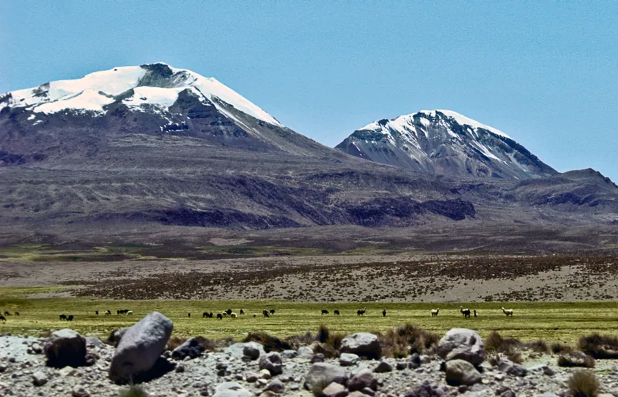
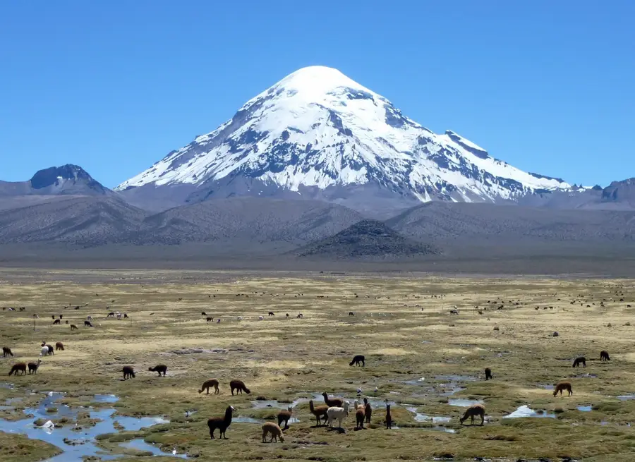
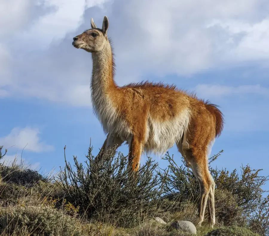
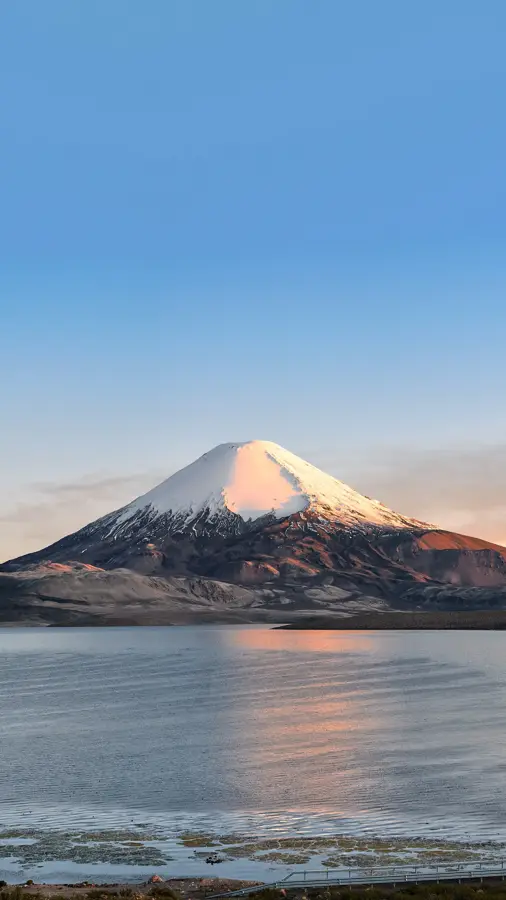
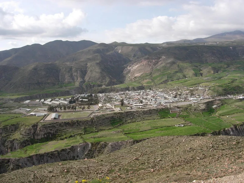
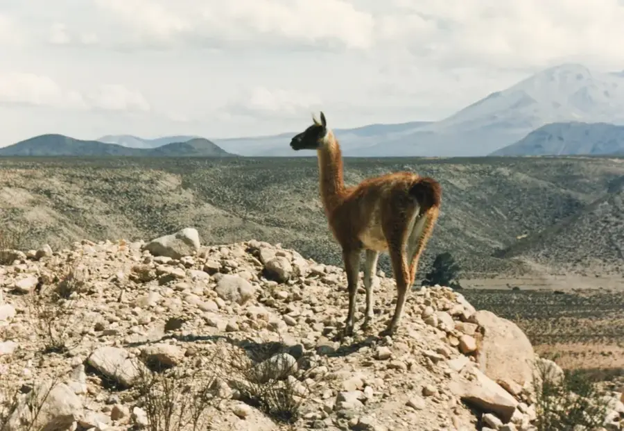
Pomerape is a stratovolcano on the border of Bolivia and Chile, serving as the northern component of the Nevados de Payachata group. Reaching an elevation of 6,282 meters, it is slightly lower than its twin, Parinacota, yet it is geologically older and considered more technically challenging to climb. The volcano is located within Bolivia's Sajama National Park and is connected to Parinacota by a high-altitude saddle. Its structure shows more significant signs of erosion than its symmetrical neighbor, indicating its volcanic activity ceased much earlier. Geologically, Pomerape dates back to the Pleistocene and consists mainly of andesitic lava flows. The surrounding region is characterized by extreme aridity and high winds, conditions that favor the formation of 'penitentes' (spike-like snow structures) on its glaciers. In local folklore, the two mountains are often depicted as a pair of lovers or rival brothers. The slopes provide a habitat for high-altitude specialists such as vicuñas and Andean condors.
- Location: Bolivia
- Top sights: Viscachas · Horned coot · Phaq'u Q'awa
Best time to visit & climate
The most pleasant time to visit is Apr, Oct, Nov.
| Jan | Feb | Mar | Apr | May | Jun | Jul | Aug | Sep | Oct | Nov | Dec | |
|---|---|---|---|---|---|---|---|---|---|---|---|---|
| Avg °C | 9 | 9 | 9 | 7 | 4 | 3 | 3 | 4 | 6 | 8 | 9 | 9 |
| Rain mm | 86 | 73 | 47 | 17 | 5 | 8 | 7 | 10 | 15 | 21 | 22 | 63 |
📋 Practical info
Geography
Facts
- Elevation: 6,282 meters above sea level
- The northern peak of the Nevados de Payachata group
- Geologically older than the neighboring Parinacota
- Located within the Sajama National Park in Bolivia
- Mainly composed of andesitic lava flows
- Offers more technical climbing routes than Parinacota
Explore nearby
Notable places around
Route planner — Car & Motorhome
Where do you start? We build the route here, with stops and country notes along the way.
© OpenStreetMap contributors · OpenRouteService
Sights in the town Pomerape Volcano (3)
Sights nearby
Frequently asked questions
Is Pomerape harder than Parinacota?
What should I pack?
Is there water on the mountain?
How long does the expedition take?
Are there rescue services?
Pomerape Volcano: where is it located?
Pomerape Volcano: what is there to see?
Pomerape Volcano: when is the best time to visit?
Pomerape Volcano: why is it worth visiting?

Nearby cities
History & landmarks

Nature
More places