Plizio Visual Lab
Acotango
Weather…
Water temperature…
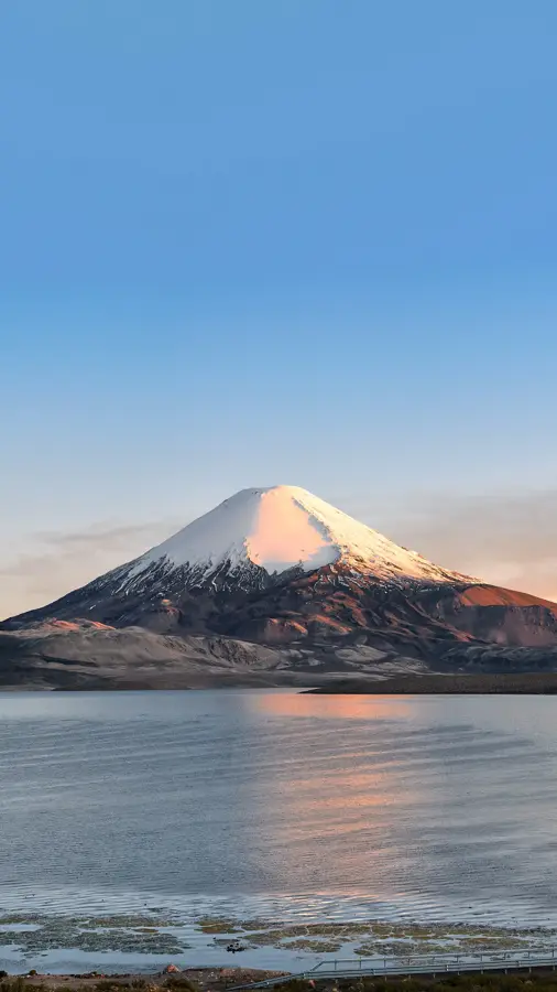
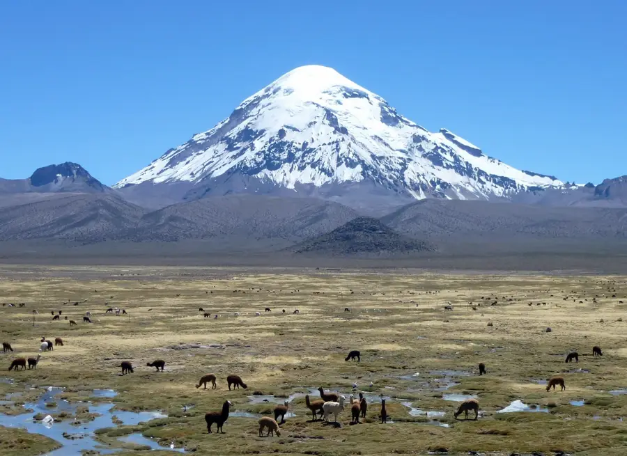
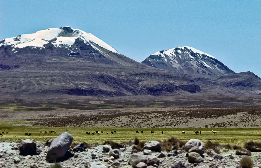
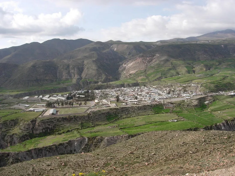
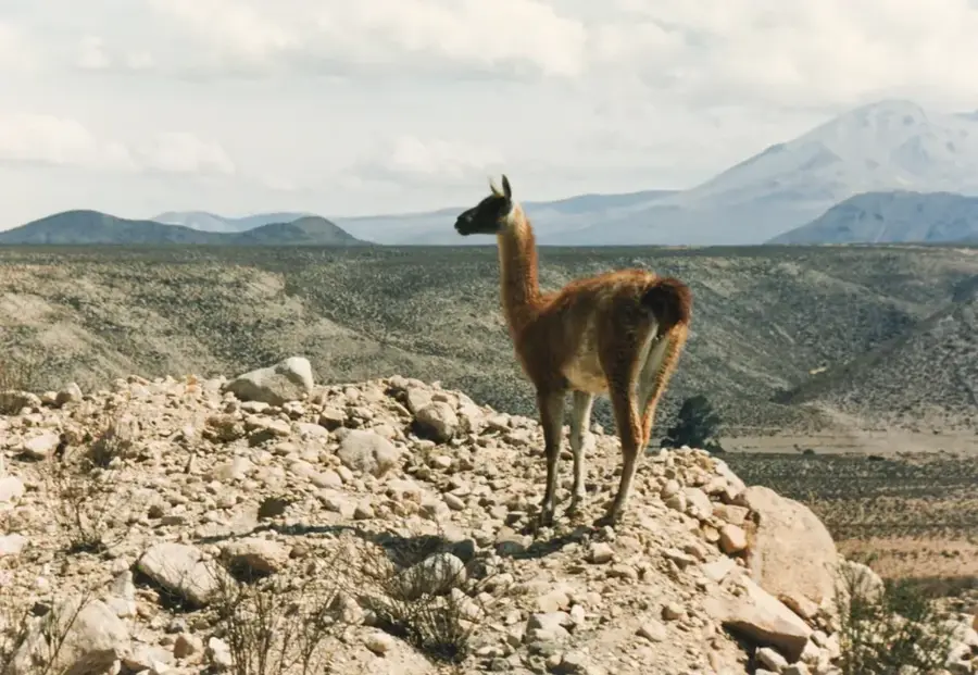
Acotango is a massive stratovolcano on the border between Bolivia and Chile, standing as the highest peak in the Kimsa Chata group at 6,052 meters. It is located in Bolivia's Oruro Department, within the boundaries of the Sajama National Park. Geologically, the volcano is heavily eroded, suggesting a significant age, although certain lava flows on its northern flank appear morphologically young and potentially date to the Holocene. The mountain features a broad, glaciated summit area, which has seen considerable recession in recent decades due to climate change. Historically, the area surrounding Acotango served as a transit route for indigenous caravans and later became a site for sulfur mining operations. Today, the volcano is a popular objective for mountaineers, as it is considered one of the technically easiest 6,000-meter peaks in the Andes. The summit provides an exceptional vantage point for viewing the nearby Sajama Volcano and the vast plains of the Altiplano.
- Location: Bolivia
- Top sights: Cerro Umurata · Ch'iyar Jaqhi · Wila Qullu
Best time to visit & climate
The most pleasant time to visit is Mar, Nov, Dec.
| Jan | Feb | Mar | Apr | May | Jun | Jul | Aug | Sep | Oct | Nov | Dec | |
|---|---|---|---|---|---|---|---|---|---|---|---|---|
| Avg °C | 10 | 10 | 10 | 8 | 5 | 4 | 4 | 5 | 7 | 9 | 10 | 11 |
| Rain mm | 55 | 47 | 30 | 10 | 3 | 4 | 4 | 5 | 8 | 11 | 12 | 37 |
📋 Practical info
Geography
Facts
- Elevation: 6,052 meters above sea level
- Highest peak of the Kimsa Chata volcanic group
- Located within the Sajama National Park in Bolivia
- Evidence of potential Holocene activity on the north flank
- Popular destination as a technically easy 6,000m peak
- Former sulfur mines are located in its vicinity
Explore nearby
Notable places around
Route planner — Car & Motorhome
Where do you start? We build the route here, with stops and country notes along the way.
© OpenStreetMap contributors · OpenRouteService
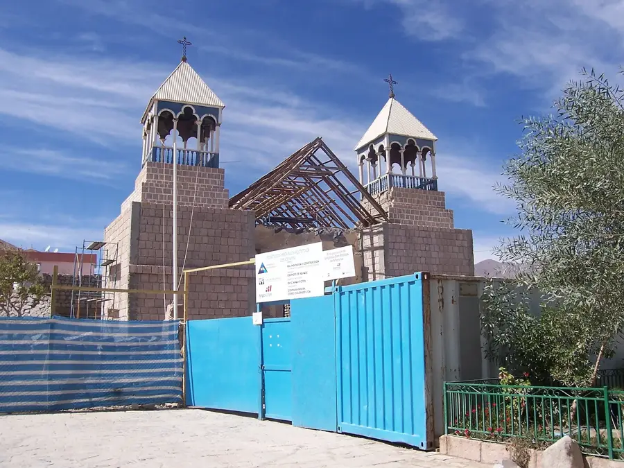
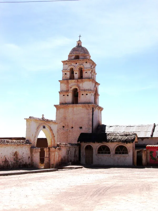
Sights in the town Acotango (3)
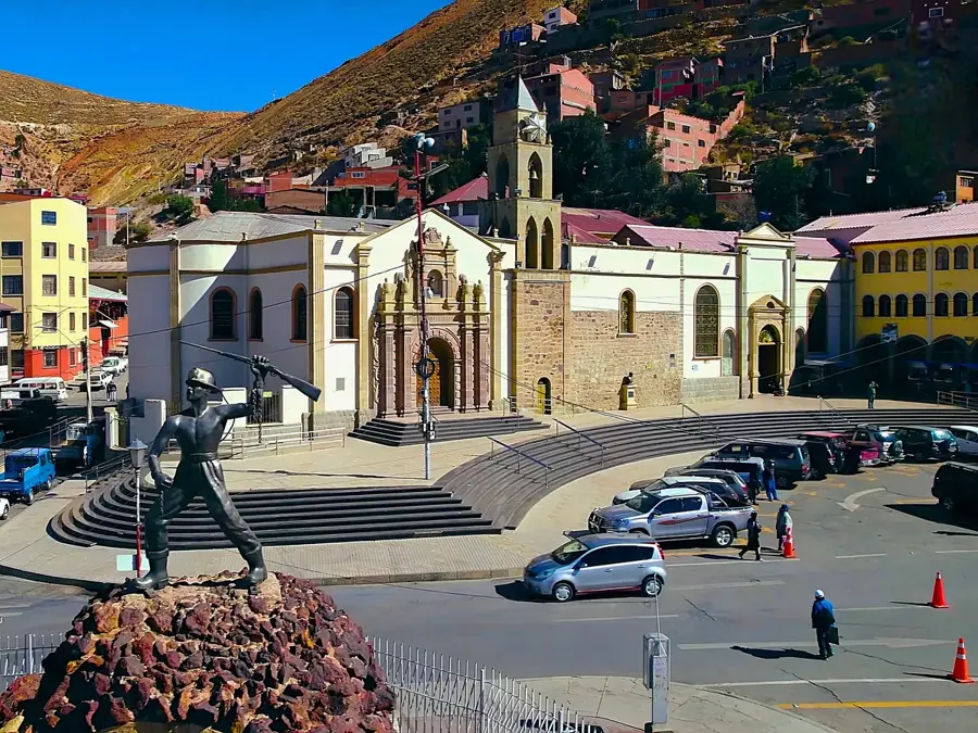
Sights nearby
Frequently asked questions
Can you reach the summit in one day?
Is mountaineering gear needed?
What is the difficulty level?
Is there public transport?
When is the best time to climb?
Acotango: where is it located?
Acotango: what is there to see?
Acotango: when is the best time to visit?
Acotango: why is it worth visiting?

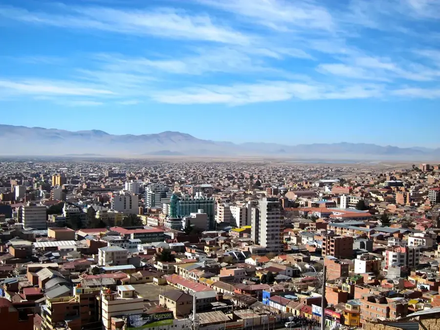
Nearby cities
History & landmarks

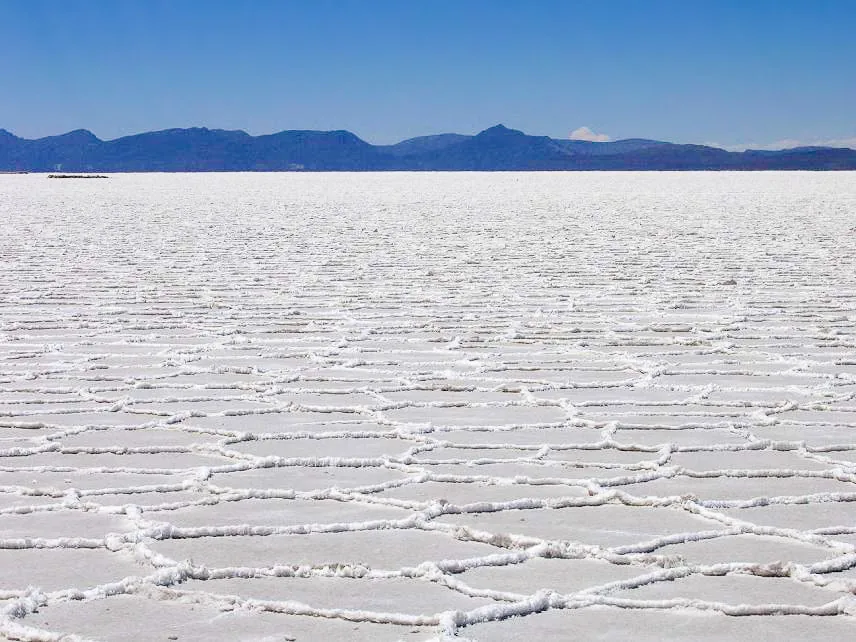
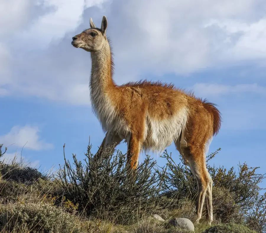
Nature
More places