Plizio Visual Lab
Cordillera Occidental
Weather…
Water temperature…
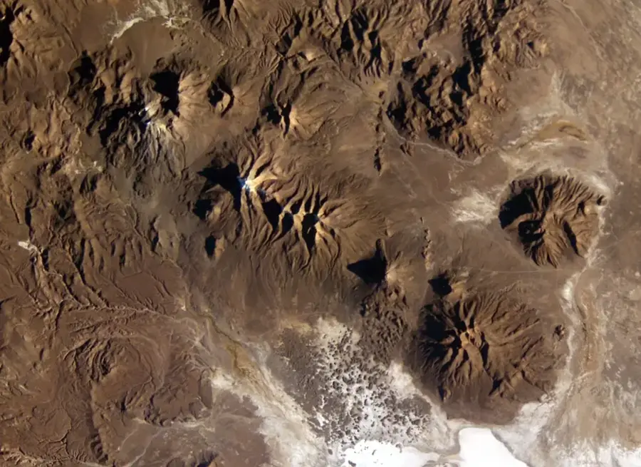
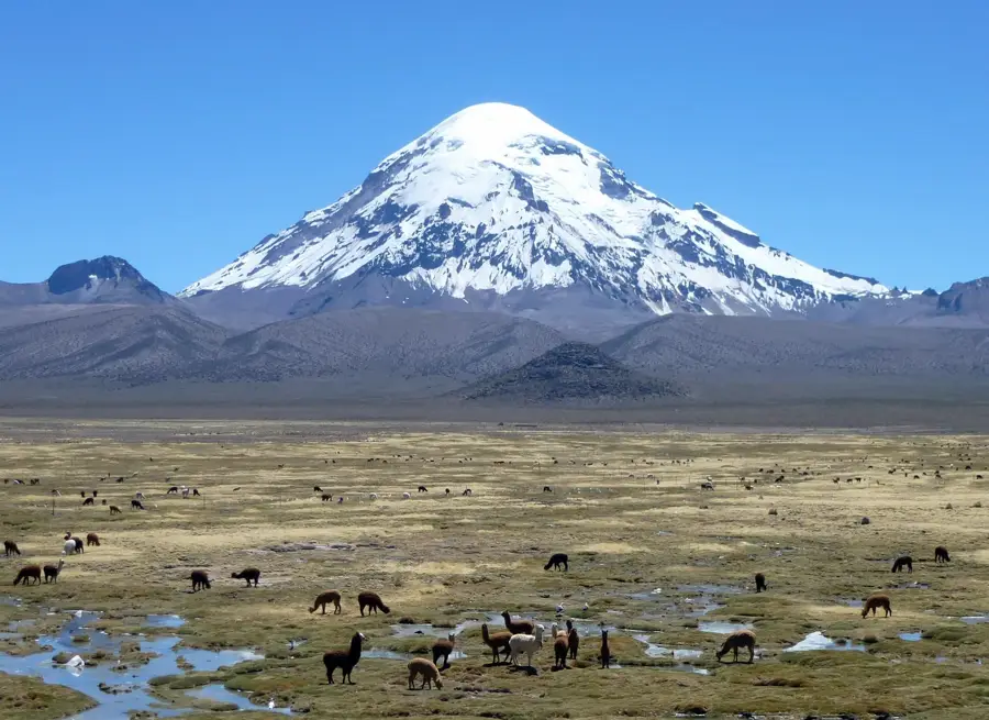
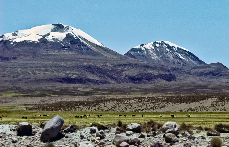
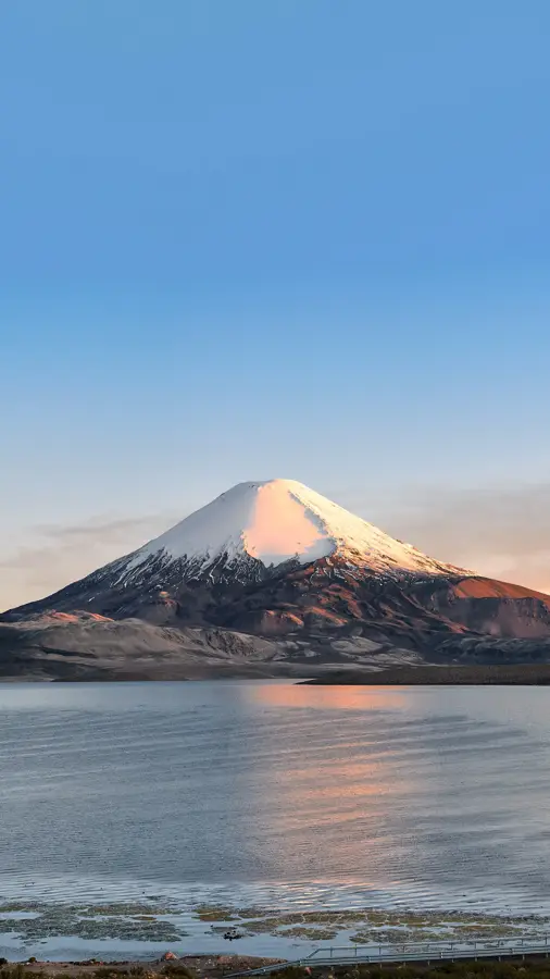
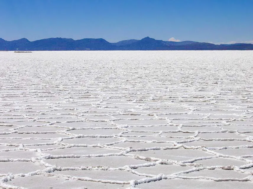
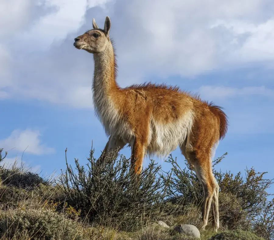
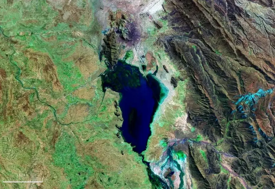
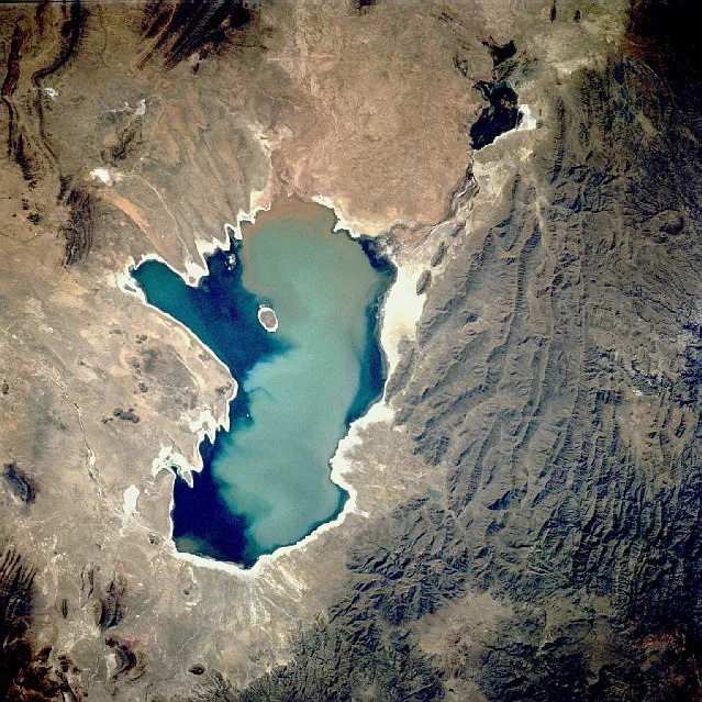
The Cordillera Occidental of Bolivia forms the western fringe of the Altiplano and serves as a natural border with Chile. This mountain range is primarily volcanic in origin, characterized by a series of massive stratovolcanoes, many of which are still considered potentially active. The climate in this region is extremely arid and cold, resulting in a landscape of vast salt flats and barren high-altitude steppes. Bolivia's highest peak, the extinct volcano Sajama (6,542 m), dominates the northern part of the range. Due to the aridity, permanent surface water is scarce, but the area is dotted with alkaline lagoons that serve as critical breeding grounds for various flamingo species. Geologically, the range is part of the Pacific Ring of Fire, formed by the subduction of the Nazca Plate beneath the South American Plate. The region is sparsely populated but supports unique ecosystems such as Queñua forests, which are among the highest-growing forest formations in the world.
- Location: Bolivia
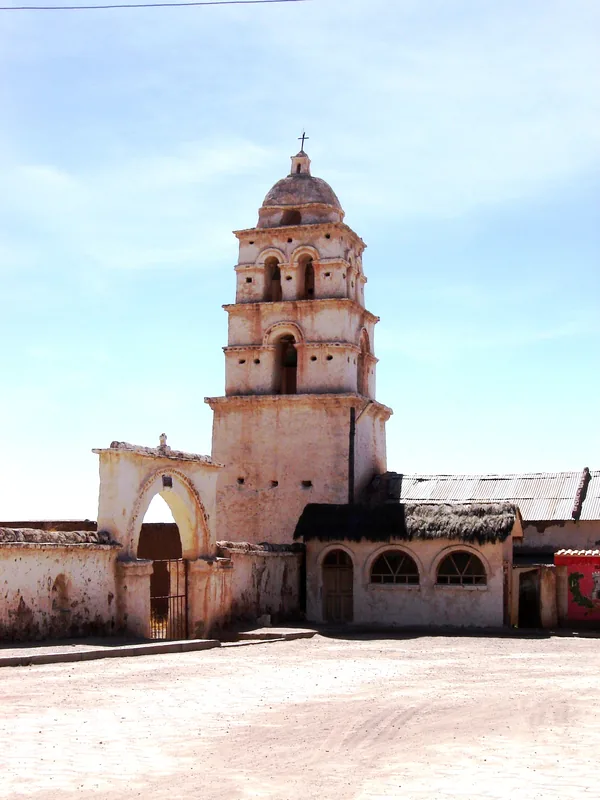
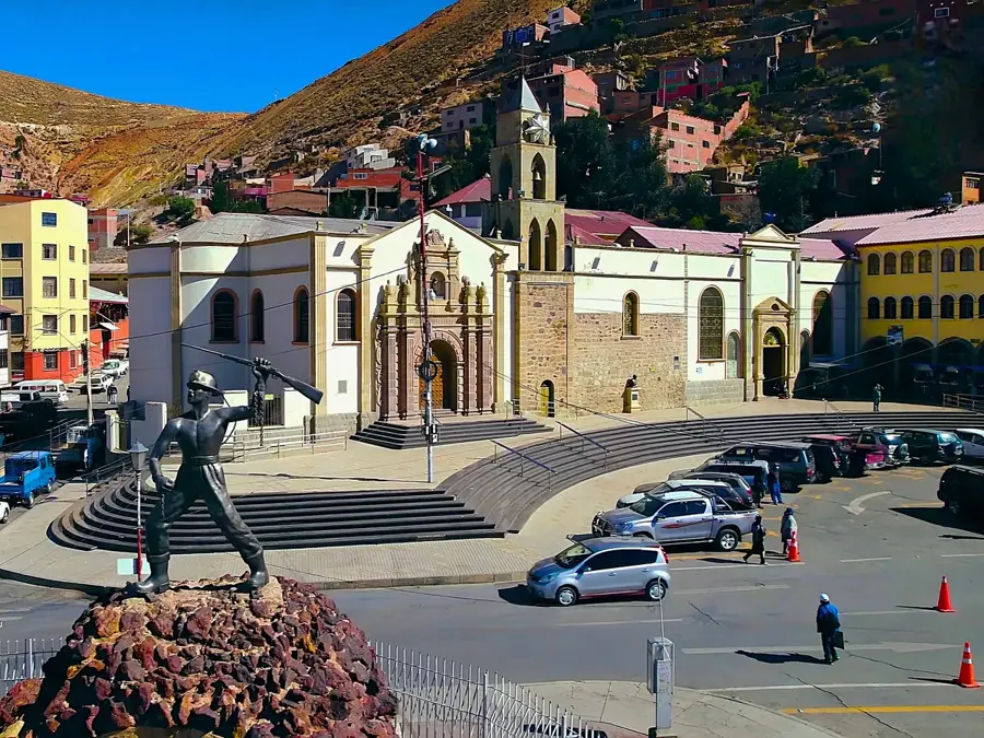
- Top sights: Janq'u Ch'utu · Parroquia de Cruz de Huayllas · Parroquia de Alaroco
Best time to visit & climate
The most pleasant time to visit is Mar, Nov, Dec.
| Jan | Feb | Mar | Apr | May | Jun | Jul | Aug | Sep | Oct | Nov | Dec | |
|---|---|---|---|---|---|---|---|---|---|---|---|---|
| Avg °C | 9 | 9 | 8 | 7 | 4 | 3 | 2 | 4 | 5 | 7 | 8 | 9 |
| Rain mm | 43 | 37 | 23 | 8 | 3 | 3 | 3 | 4 | 8 | 9 | 10 | 31 |
📋 Practical info
Geography
Facts
- The highest point in the range is the Sajama volcano at 6,542 meters.
- The range is home to the world's highest-altitude forest (Queñua trees).
- Many volcanoes, such as Licancabur, sit directly on the border with Chile.
- The region often receives less than 100 mm of annual precipitation.
- The range contains Laguna Colorada, famous for its algae-induced red color.
- The rock composition consists mainly of Tertiary and Quaternary volcanics.
Explore nearby
Notable places around
Route planner — Car & Motorhome
Where do you start? We build the route here, with stops and country notes along the way.
© OpenStreetMap contributors · OpenRouteService
Sights in the town Cordillera Occidental (4)
Sights nearby
Frequently asked questions
What characterizes this mountain range?
How is the climate there?
Are there paved roads?
What equipment is needed?
Is there drinking water on site?
Cordillera Occidental: where is it located?
Cordillera Occidental: what is there to see?
Cordillera Occidental: when is the best time to visit?
Cordillera Occidental: why is it worth visiting?

History & landmarks

Nature
More places