Plizio Visual Lab
Altiplano Plateau
Weather…
Water temperature…
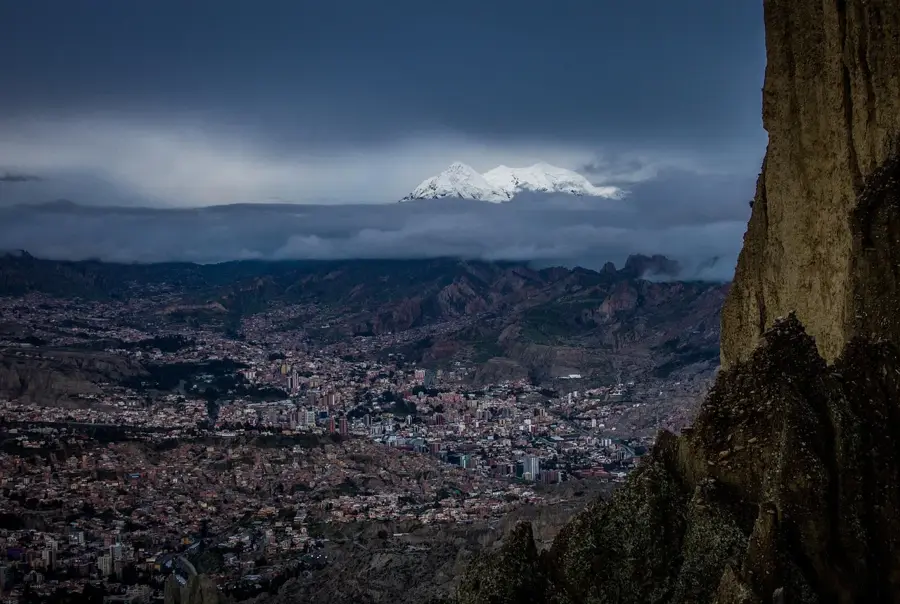
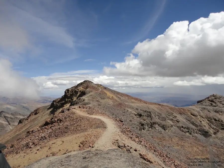
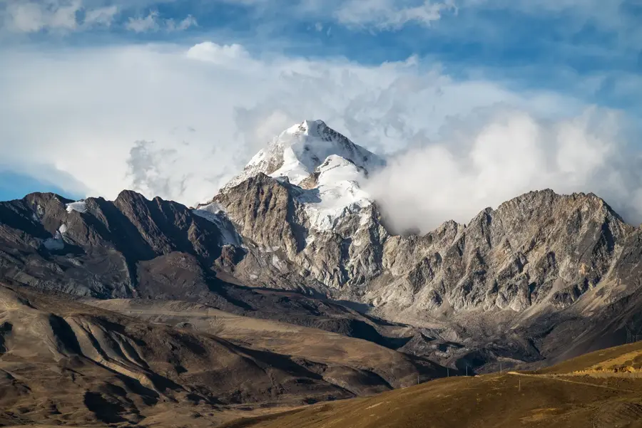
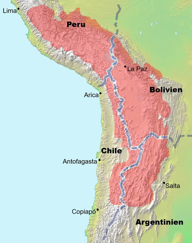
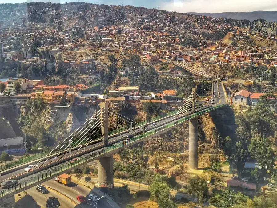
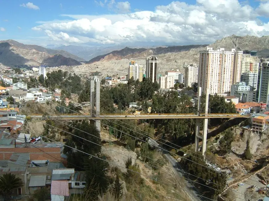
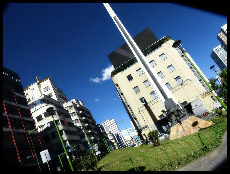
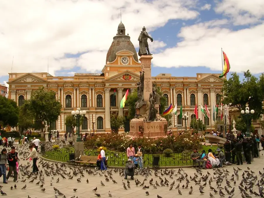
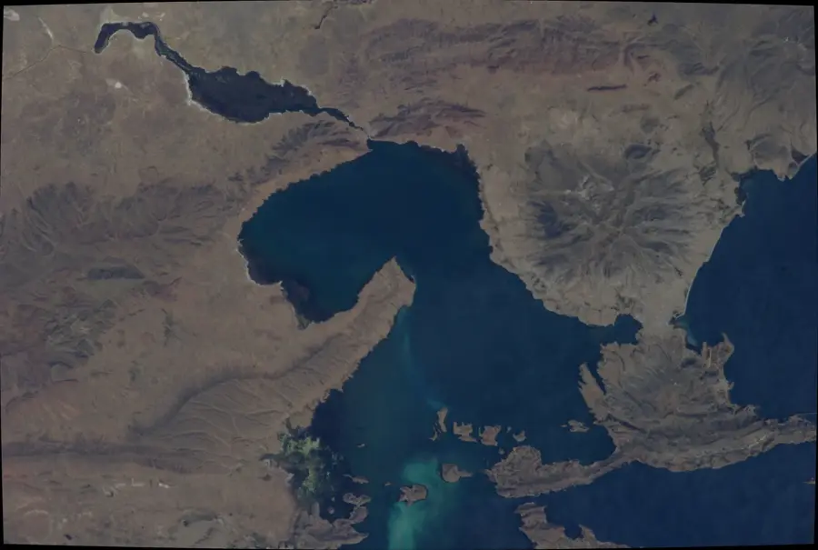
The Bolivian Altiplano is a vast high-altitude plateau in the Andes, the second-largest of its kind in the world after the Tibetan Plateau. It sits at an average elevation of approximately 3,750 meters, set between the Cordillera Oriental and the Cordillera Occidental. This endorheic region is the demographic and historical heart of Bolivia, where major civilizations such as the Tiwanaku culture and later the Inca Empire flourished. The landscape is characterized by expansive, treeless plains, anchored in the north by Lake Titicaca and in the south by massive salt flats like Salar de Uyuni and Salar de Coipasa. The climate is semi-arid to arid, with dramatic temperature swings between day and night. Due to the thin air and intense solar radiation, local flora and fauna have developed unique adaptations. Economically, the Altiplano is of central importance to the nation through mining (tin, silver, lithium) and the traditional herding of llamas and alpacas.
Best time to visit & climate
The most pleasant time to visit is Apr, Oct, Nov.
| Jan | Feb | Mar | Apr | May | Jun | Jul | Aug | Sep | Oct | Nov | Dec | |
|---|---|---|---|---|---|---|---|---|---|---|---|---|
| Avg °C | 10 | 10 | 10 | 9 | 6 | 4 | 4 | 5 | 7 | 9 | 11 | 11 |
| Rain mm | 94 | 80 | 52 | 20 | 6 | 11 | 7 | 11 | 17 | 23 | 24 | 70 |
📋 Practical info
Geography
Facts
- The Altiplano sits at an average elevation of 3,750 meters above sea level.
- It covers an area of roughly 170,000 square kilometers within Bolivia.
- The Salar de Uyuni in the south is the largest salt flat on Earth.
- Lake Titicaca in the north is the world's highest commercially navigable lake.
- Approximately 80% of Bolivia's population is concentrated in this region.
- The plateau was formed by massive sediment accumulation between mountain ranges.
Explore nearby
Notable places around
Route planner — Car & Motorhome
Where do you start? We build the route here, with stops and country notes along the way.
© OpenStreetMap contributors · OpenRouteService
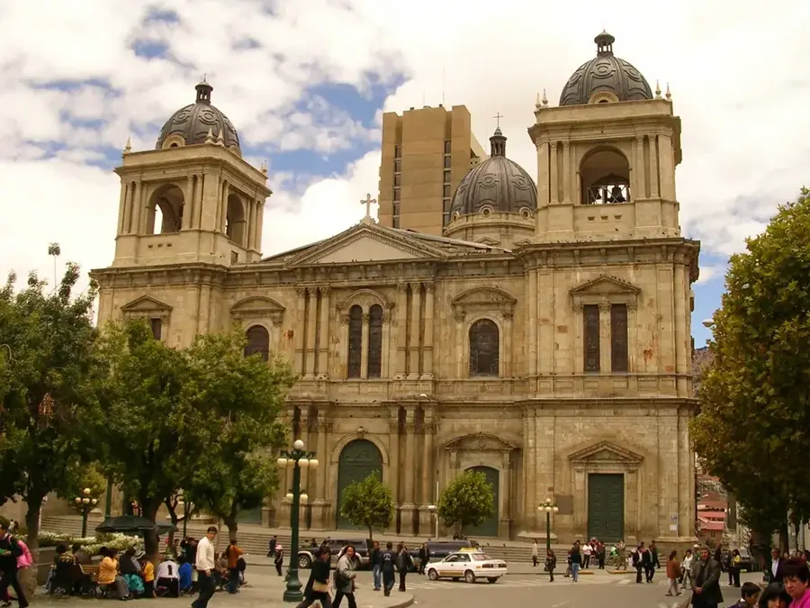
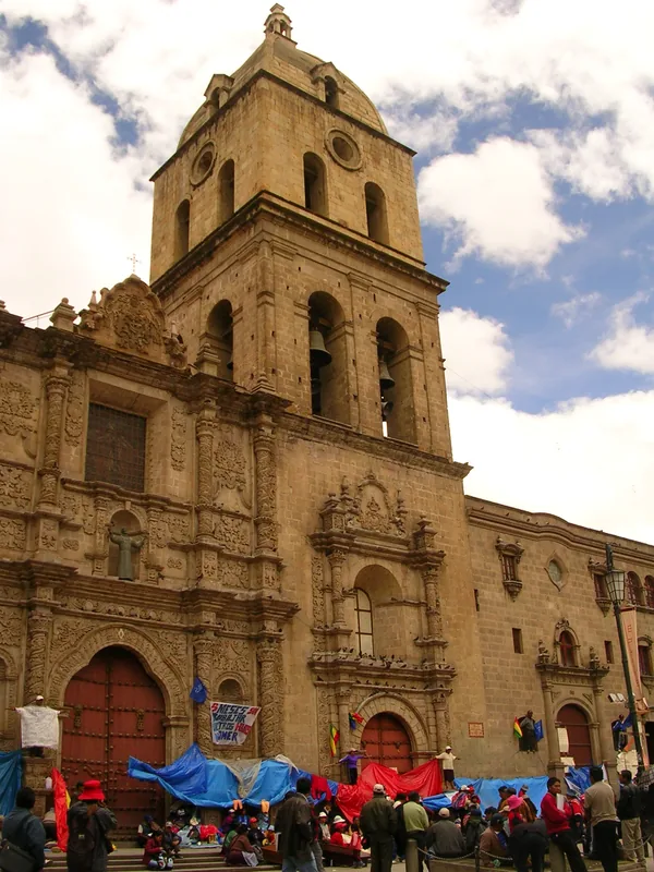
Sights in the town Altiplano Plateau (1)
Sights nearby
Frequently asked questions
How high is the plateau?
What to do against altitude sickness?
Are there public buses?
What is the typical landscape?
When is it coldest there?
Altiplano Plateau: where is it located?
Altiplano Plateau: when is the best time to visit?
Altiplano Plateau: why is it worth visiting?

History & landmarks

Nature
More places