Plizio Visual Lab
Kandi Basin

Weather…
Water temperature…
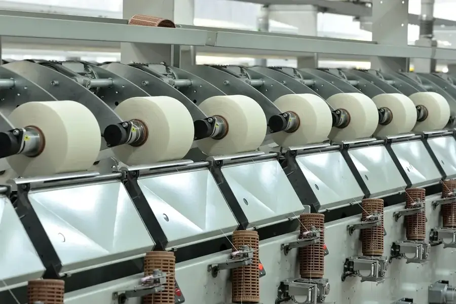
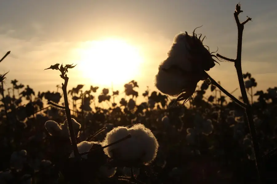
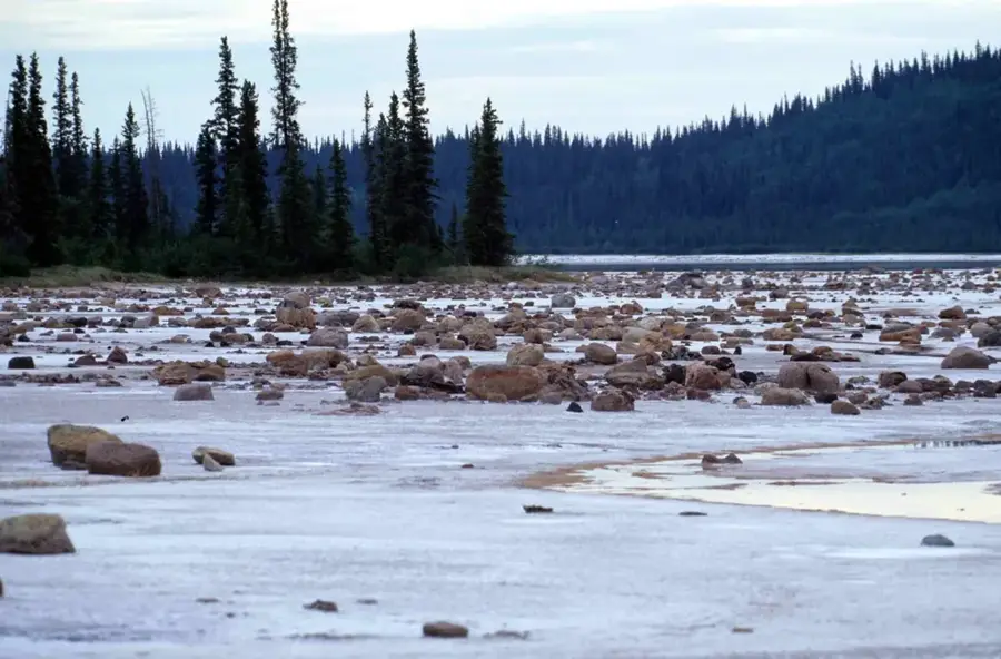
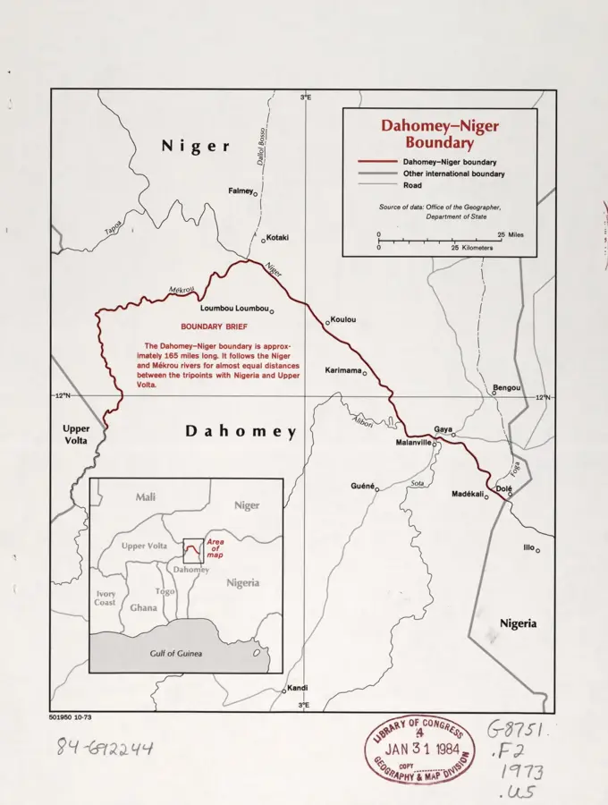
The Kandi Basin is located in the extreme north of Benin within the Alibori Department and represents a vast, flat depression geologically characterized by Paleozoic sandstone formations. This region holds strategic importance as it marks the transition from the Atacora Mountains to the Niger Valley. Historically, Kandi was a vital hub for trans-Saharan trade and served as the capital of a Bariba kingdom that controlled trade routes between the Niger River and the south. The landscape is dominated by dry Sudanian savanna, which turns green during the rainy season from June to September. Agriculture in the basin focuses on cotton production, Benin's "white gold", as well as cereals like millet and sorghum. Geographically, the basin is drained by the Alibori and Sota rivers, both of which flow northwards toward the Niger. Extreme climatic conditions, with temperatures exceeding 40°C during the dry season, necessitate adapted lifestyles for the predominantly agrarian population. The Kandi Basin is also a significant transit area for cattle herds of the Fulani nomads in their search for grazing grounds.
Best time to visit & climate
The most pleasant time to visit is Jan, Nov, Dec.
| Jan | Feb | Mar | Apr | May | Jun | Jul | Aug | Sep | Oct | Nov | Dec | |
|---|---|---|---|---|---|---|---|---|---|---|---|---|
| Avg °C | 24 | 28 | 31 | 32 | 30 | 28 | 26 | 25 | 26 | 27 | 26 | 24 |
| Rain mm | 0 | 1 | 8 | 32 | 89 | 133 | 192 | 273 | 187 | 57 | 2 | 0 |
📋 Practical info
Geography
Facts
- The basin sits at an average elevation of approximately 250 meters.
- The Kandi formation consists of sandstones of Cambrian-Ordovician age.
- Kandi was founded in the 16th century by Bariba princes from Nikki.
- Annual precipitation in the region is less than 900 mm.
- The region produces over 30% of Benin's total cotton harvest.
- The Harmattan wind brings cool, dusty air from December to February.
Explore nearby
Notable places around
Route planner — Car & Motorhome
Where do you start? We build the route here, with stops and country notes along the way.
© OpenStreetMap contributors · OpenRouteService
Sights in the town Kandi Basin (1)
Sights nearby
Frequently asked questions
What characterizes the Kandi Basin?
What products are mainly produced here?
How is the weather in the Kandi Basin?
Is the region attractive to tourists?
Are there larger cities in the basin?
Kandi Basin: where is it located?
Kandi Basin: when is the best time to visit?
Kandi Basin: why is it worth visiting?

Nature
More places