Plizio Visual Lab
Kempen Plateau
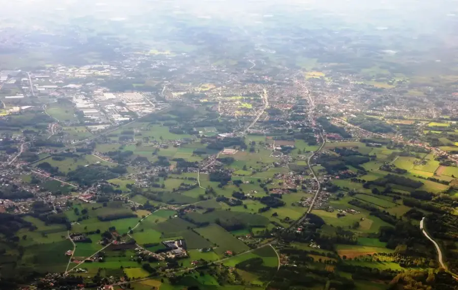
The Kempen Plateau (Kempense Hoogvlakte) is a distinct upland area in northeastern Belgium, primarily located in the province of Limburg. Geologically, it is a terrace formed by the sedimentary deposits of the ancient Meuse river during the Pleistocene, subsequently raised by tectonic uplift to elevations of up to 100 meters above sea level. The surface consists mainly of coarse gravel and sand, topped by a thin layer of loam or loess. These nutrient-poor soils historically led to the formation of vast heathlands, which were only altered in the 19th and 20th centuries by extensive pine reforestation. A turning point for the region was the discovery of coal deposits deep beneath the plateau in 1901, leading to the establishment of several major mining sites in towns like Genk and Beringen. Today, a significant portion of the plateau is protected within the Hoge Kempen National Park, preserving the region's natural heritage.
- Location: Belgium
- Nearby: Peer (5 km)
Best time to visit & climate
The most pleasant time to visit is Jun–Aug.
| Jan | Feb | Mar | Apr | May | Jun | Jul | Aug | Sep | Oct | Nov | Dec | |
|---|---|---|---|---|---|---|---|---|---|---|---|---|
| Avg °C | 2 | 3 | 6 | 10 | 14 | 17 | 19 | 19 | 15 | 11 | 6 | 3 |
| Rain mm | 70 | 62 | 57 | 42 | 61 | 65 | 74 | 80 | 54 | 61 | 68 | 77 |
📋 Practical info
Geography
Facts
- The plateau reaches a maximum elevation of 104 meters above sea level.
- The discovery of coal in 1901 shaped the industrial history of the region.
- Hoge Kempen National Park covers approximately 12,000 hectares of forest and heath.
- The sedimentary layers originate from Meuse deposits about 2 million years ago.
- The plateau slopes gently towards the north and west.
- Genk, Waterschei, and Winterslag were significant mining centers in the region.
Explore nearby
Notable places around
Route planner — Car & Motorhome
Where do you start? We build the route here, with stops and country notes along the way.
© OpenStreetMap contributors · OpenRouteService
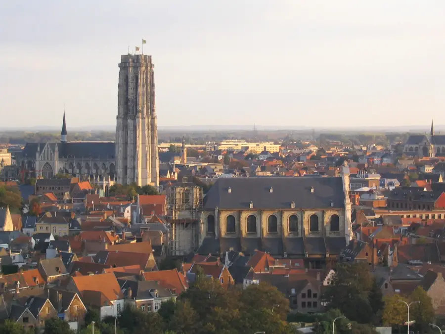
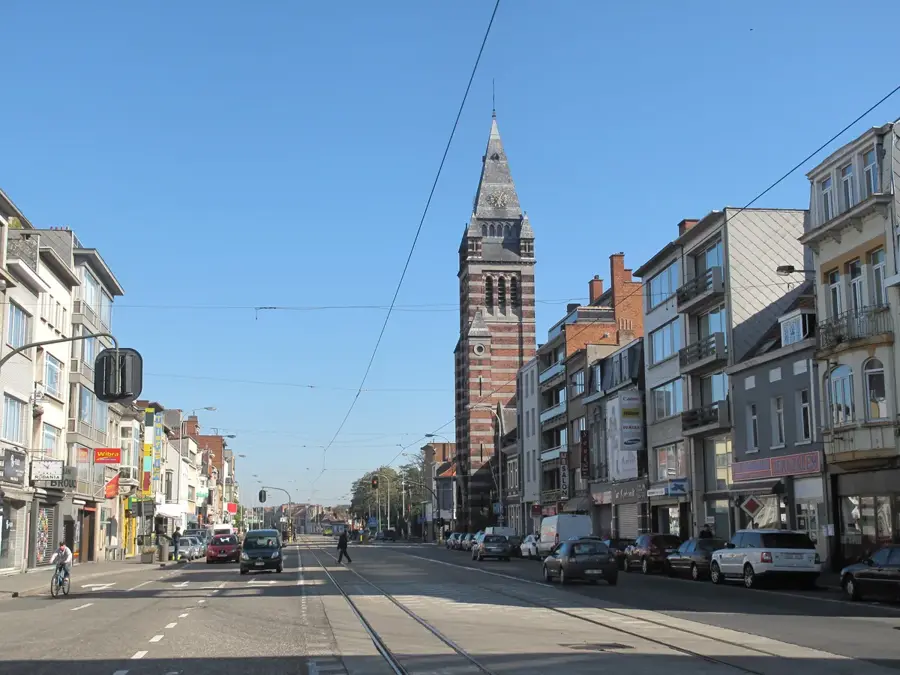
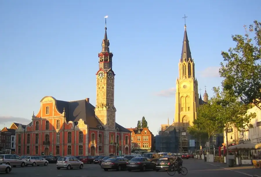
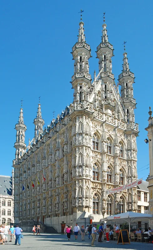
Sights in the town Kempen Plateau (1)
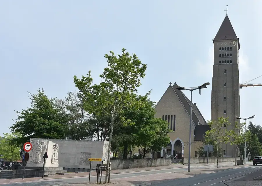
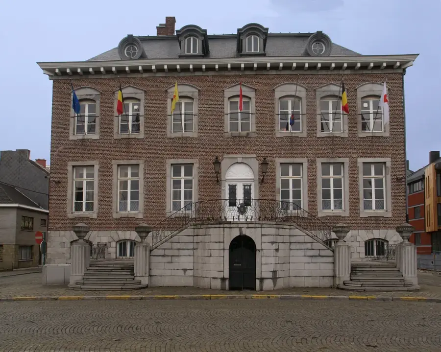
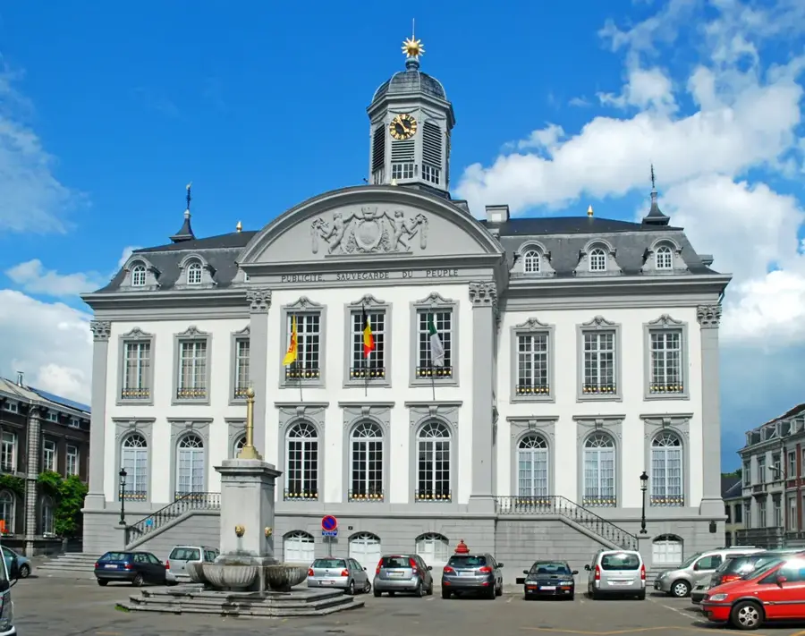
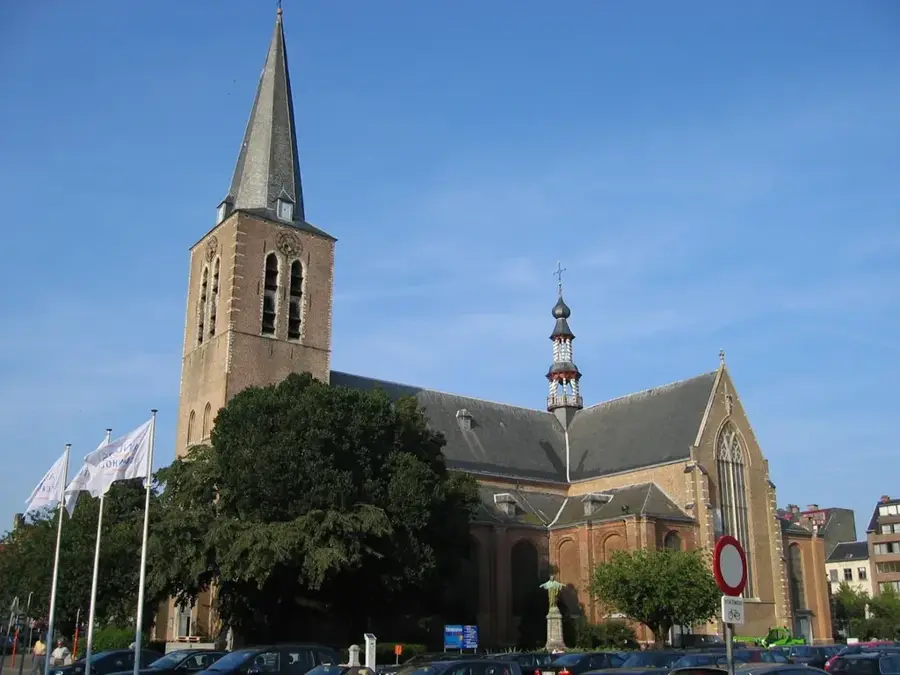
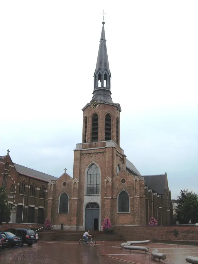
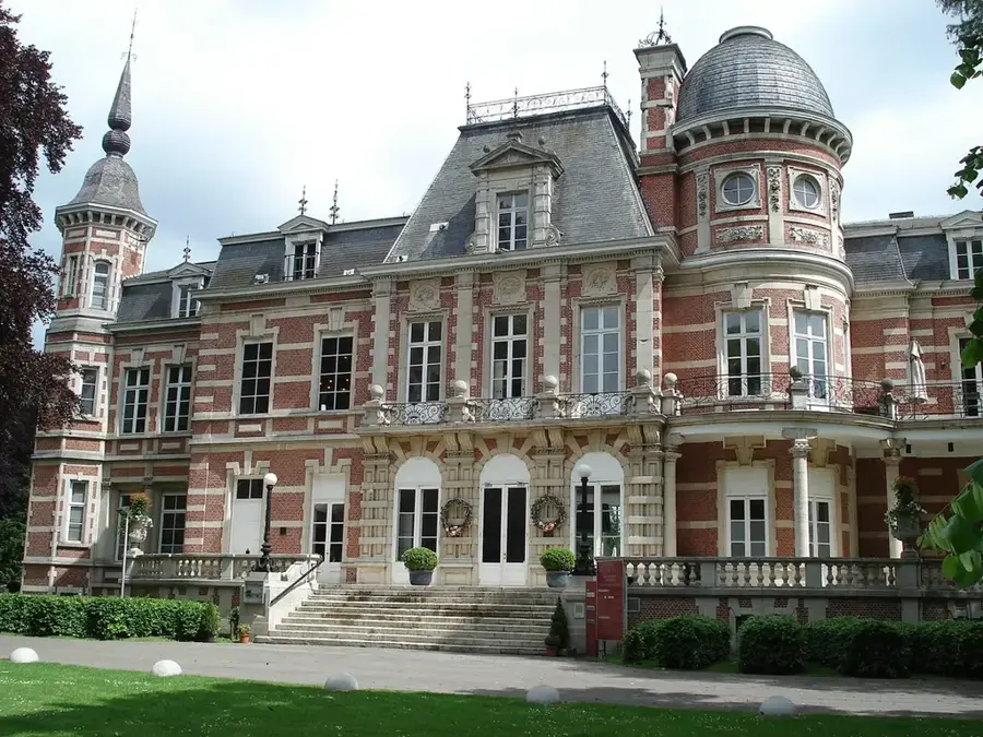
Sights nearby
Frequently asked questions
What is the Kempener Hochfläche?
Which national park is located on this plateau?
Is there mining history there?
What are the trails like for hikers?
Can you camp on the plateau?
Kempen Plateau: where is it located?
Kempen Plateau: when is the best time to visit?
Kempen Plateau: why is it worth visiting?

Nearby cities