Plizio Visual Lab
Fléron

ℹ️Practical info — Fléron
▾
🌤 Weather — 5 days
📍 Nearby
Sights nearby
💡 Tips
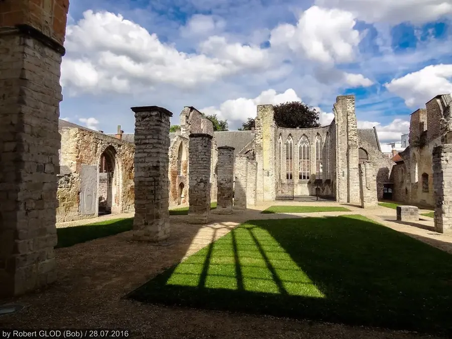
- Visit the remains of Fort de Fléron, which is now partly a peaceful green area.
- Explore the surrounding Herve plateau to discover traditional local dairy farms.
- The RAVeL Line 38 passes near Fléron, making it excellent for cycling into Liège without traffic.
- Keep in mind that French is the primary language, so a few basic phrases will go a long way with locals.
🍽 Food
A pungent local cheese that you can find in local grocery stores across the plateau.
A sweet apple and pear spread available at local bakeries and regional shops.
Try these meatballs served in a sweet and sour sauce at traditional brasseries in the center.
🛍 Shopping · 🧘 Quiet spots
Check out the local market to buy regional Herve products and fresh bread.
Look for traditional bakeries in the town center to pick up fresh waffles or tartes.
A peaceful pedestrian and cycle path converted from a disused railway line.
A calm walking area situated around the historical ruins of the old fort.
Water temperature…
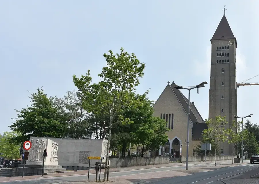
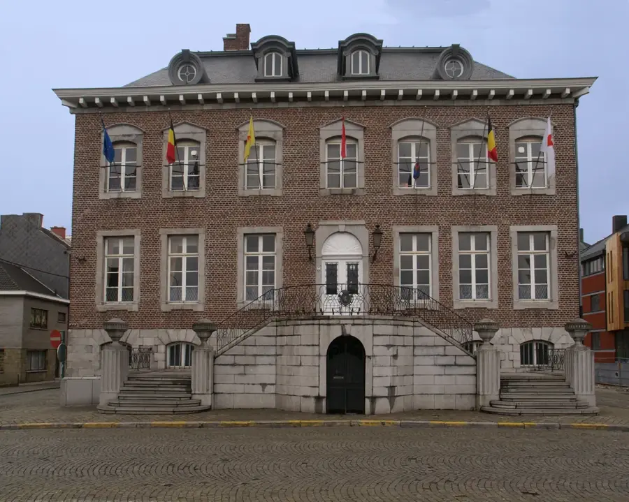
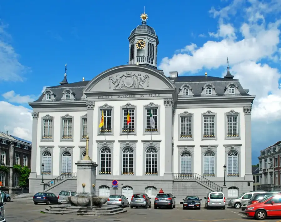
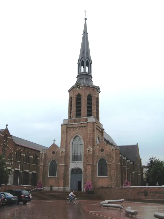
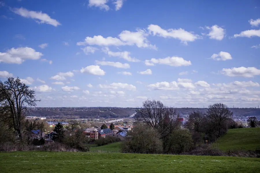
Fléron is a prominent municipality in the province of Liège, situated on a plateau overlooking the valleys of the Vesdre and Meuse rivers. Historically, its development was spurred by its strategic location on the ancient trade route connecting Liège and Aachen, making it a vital transit point. During the industrial era, the town integrated into the regional mining and metallurgical network, which brought significant growth and infrastructure improvements. In the late 20th century, Fléron evolved into a sought-after residential suburb of Liège while maintaining its status as a regional commercial hub. The urban landscape features a blend of modern amenities and historic stone buildings characteristic of the Mosan architectural style. Today, the municipality consists of four districts, Fléron, Magnée, Retinne, and Forêt, each offering a unique perspective on the region's rural heritage. Fléron remains an essential service center for the eastern Liège area, balancing its busy commercial activity with the tranquility of its surrounding green plateaus.
- Location: Belgium
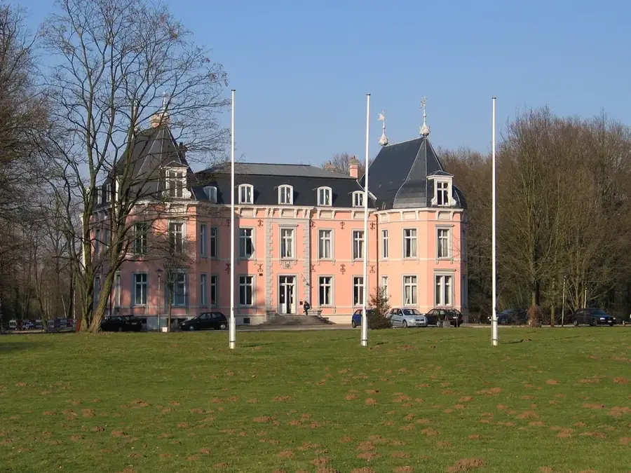
- Top sights: Le Petit Musée de Fléron · Ancien fort de Fléron · Parc paysager du Ry-ponet
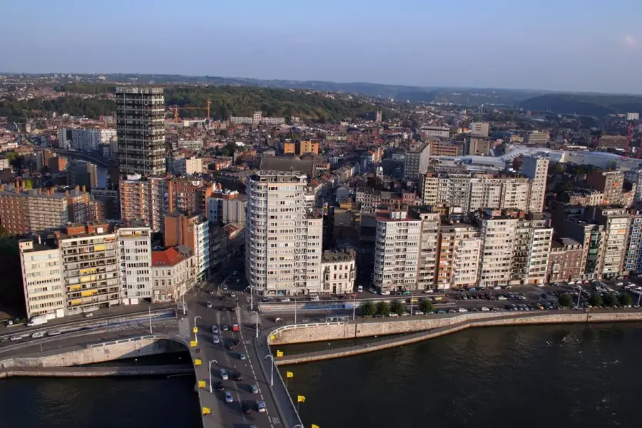
- Nearby: Herstal (7 km)
- Population: ~15.994
Best time to visit & climate
The most pleasant time to visit is Jun–Aug.
| Jan | Feb | Mar | Apr | May | Jun | Jul | Aug | Sep | Oct | Nov | Dec | |
|---|---|---|---|---|---|---|---|---|---|---|---|---|
| Avg °C | 1 | 2 | 5 | 9 | 12 | 16 | 18 | 18 | 14 | 10 | 5 | 2 |
| Rain mm | 81 | 72 | 67 | 48 | 70 | 72 | 77 | 87 | 60 | 66 | 75 | 87 |
Geography
Facts
- The municipality of Fléron sits at an average elevation of approximately 250 meters above sea level.
- Fléron covers an area of 16.11 square kilometers and has a population of around 16,500 residents.
- In 1977, the former municipalities of Magnée, Retinne, and Forêt were merged into Fléron.
- The town was historically a significant stop on the post road connecting the Low Countries to Germany.
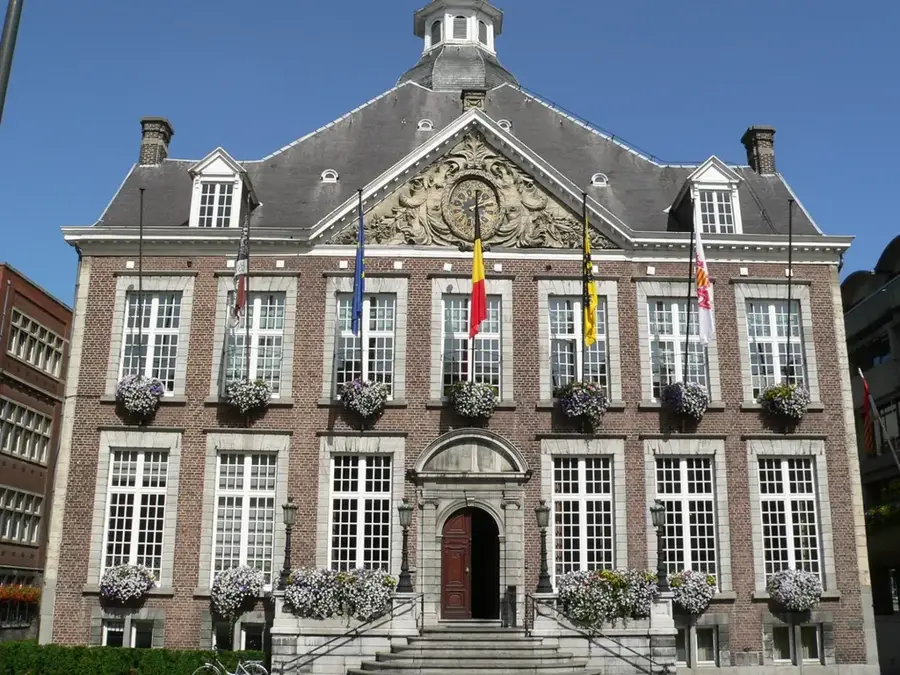
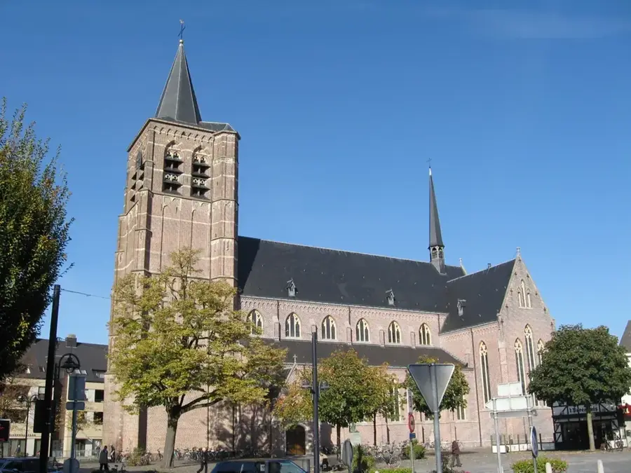
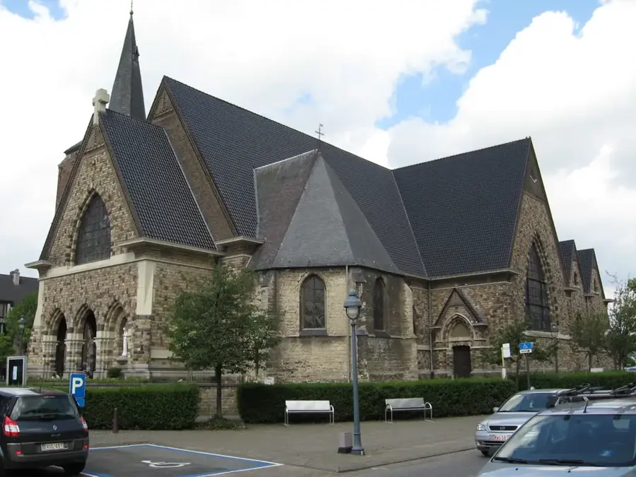
- Architectural landmarks in Fléron include several farmsteads and churches built in the traditional Mosan style.
- Currently, Fléron acts as a vital regional shopping and service hub for the eastern suburbs of Liège.
Explore nearby
Notable places around
Route planner — Car & Motorhome
Where do you start? We build the route here, with stops and country notes along the way.
© OpenStreetMap contributors · OpenRouteService
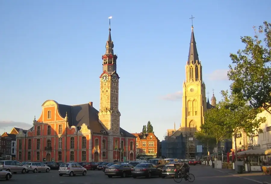
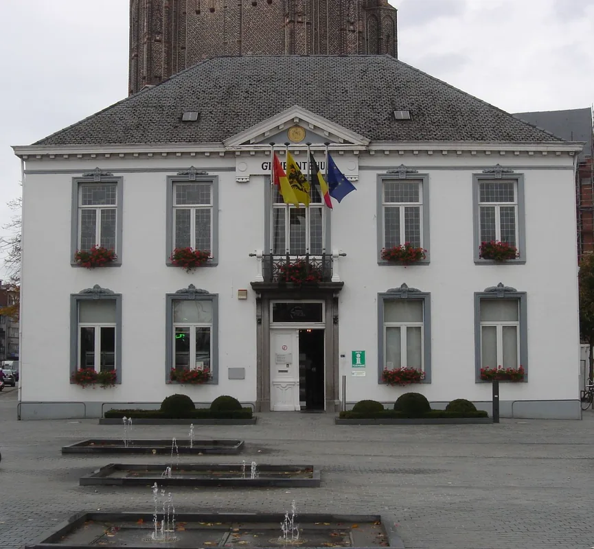
Sights in the town Fléron (7)
Frequently asked questions
What is Fléron known for?
What is 'Ligne 38'?
Are there shopping opportunities?
What is the atmosphere in Fléron?
Are there historical buildings?
Fléron: where is it located?
Fléron: what is there to see?
Fléron: when is the best time to visit?
Fléron: why is it worth visiting?

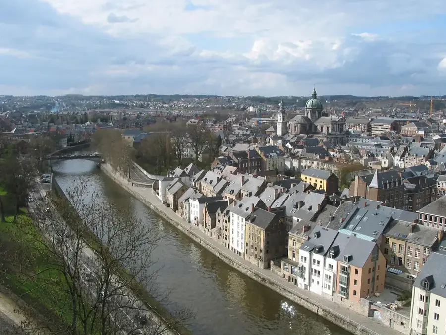
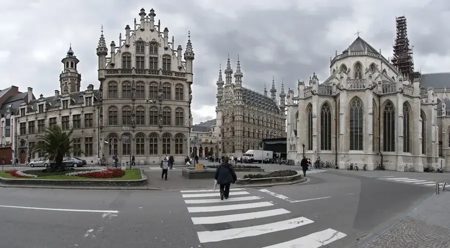
Nearby cities