Plizio Visual Lab
Botrange Peak
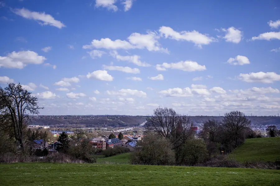
Signal de Botrange is the highest point in Belgium, standing at 694 meters above sea level in the heart of the High Fens (Hautes Fagnes) nature reserve. Geologically, it is situated on a vast plateau characterized by barren, peaty terrain and extreme climatic conditions. To reach the symbolic height of 700 meters, an artificial mound known as the Baltia hill was constructed in 1923. A prominent stone tower, built in 1934, now serves as a visitor center and observation deck. The area is of pan-European ecological significance, hosting one of the continent's last large upland peat bogs, where rare plants like bog cotton and carnivorous sundew thrive. Annual rainfall levels at Botrange are among the highest in Belgium, making it a critical water catchment area for the surrounding regions. In winter, the peak becomes a major center for cross-country skiing, attracting visitors from across Northwestern Europe. Botrange is not only a geographical extreme but also a symbol of environmental protection in Wallonia.
- Location: Belgium
- Nearby: Robertville (6 km)
Best time to visit & climate
The most pleasant time to visit is Jun–Aug.
| Jan | Feb | Mar | Apr | May | Jun | Jul | Aug | Sep | Oct | Nov | Dec | |
|---|---|---|---|---|---|---|---|---|---|---|---|---|
| Avg °C | 0 | 0 | 4 | 8 | 12 | 15 | 17 | 17 | 13 | 9 | 5 | 1 |
| Rain mm | 86 | 76 | 72 | 53 | 77 | 79 | 84 | 91 | 66 | 70 | 78 | 90 |
📋 Practical info
Geography
Facts
- The natural elevation of the peak is 694 meters
- The Baltia mound raises the height to exactly 700 meters
- The prominent stone tower was completed in 1934
- A significant meteorological station is located at the summit
- The average annual precipitation is approximately 1400 mm
- The area was designated as a nature reserve as early as 1957
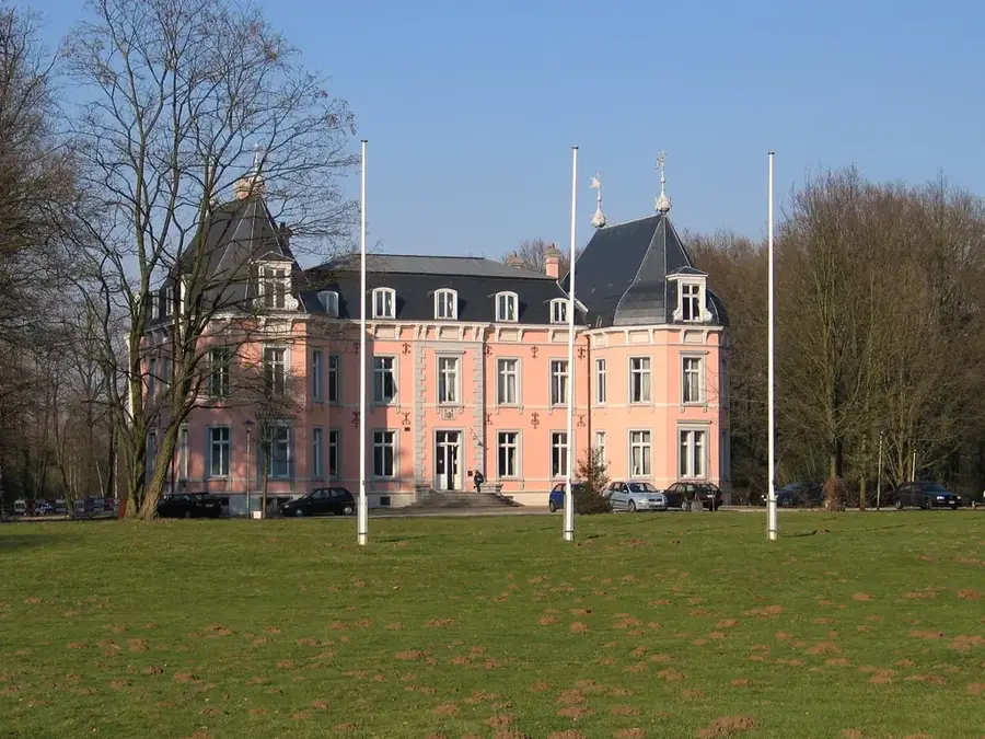
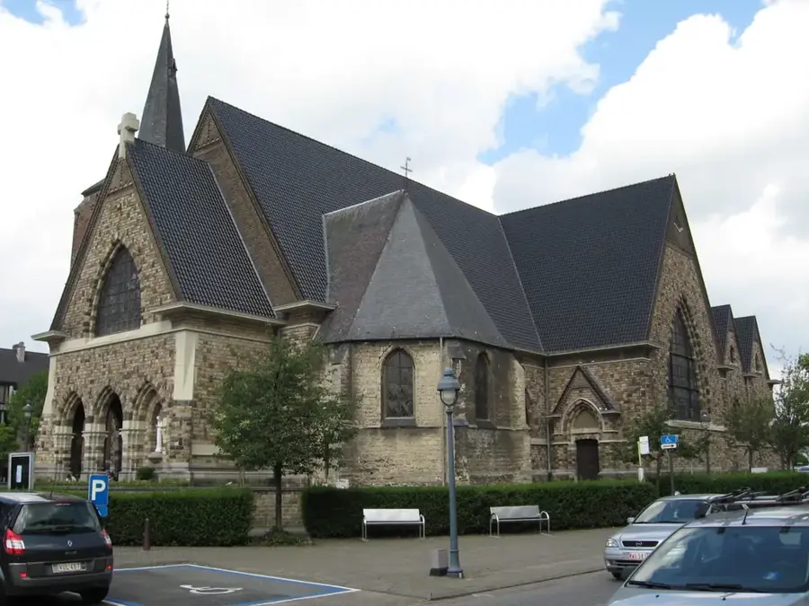
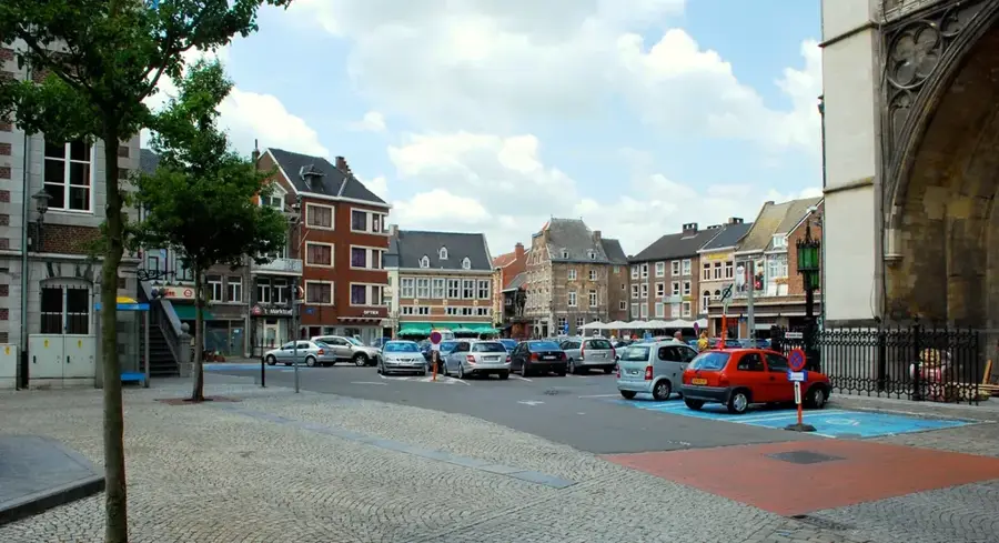
Explore nearby
Notable places around
Route planner — Car & Motorhome
Where do you start? We build the route here, with stops and country notes along the way.
© OpenStreetMap contributors · OpenRouteService
Sights nearby
Frequently asked questions
How high is the Signal de Botrange?
Is there an observation tower?
In which region is the summit located?
Can you do sports there in winter?
Is there a visitor center?
Botrange Peak: where is it located?
Botrange Peak: when is the best time to visit?
Botrange Peak: why is it worth visiting?

Nearby cities