Plizio Visual Lab
Bu Thaur

Weather…
Water temperature…
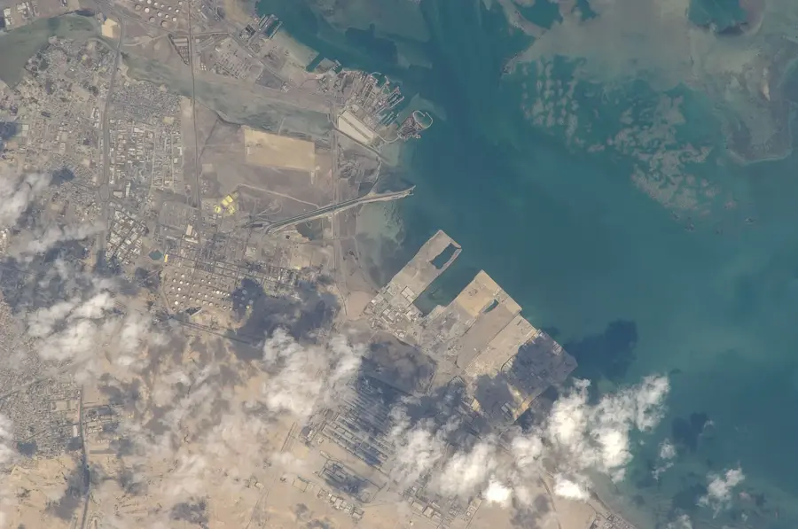
Bu Thaur is a pristine desert island located in the southern reaches of the Hawar Archipelago, representing one of Bahrain's most untouched natural environments. This uninhabited island is characterized by its low-lying, sandy topography and its complete lack of human development, allowing nature to thrive undisturbed. It serves as a critical sanctuary for regional wildlife, particularly as a nesting and resting ground for various migratory bird species that traverse the Arabian Peninsula. The island is surrounded by shallow, crystal-clear waters filled with sea grass beds and coral patches, which provide a rich feeding ground for marine life, including dugongs and sea turtles. Due to its protected status and geographical isolation, Bu Thaur remains a place of profound silence and ecological importance, showcasing the raw beauty of the Gulf's coastal landscapes where the shifting sands and tides are the only architects of the terrain.
- Location: Bahrain
- Nearby: Hawar Islands (7 km)
Best time to visit & climate
The most pleasant time to visit is Feb, Mar, Dec.
| Jan | Feb | Mar | Apr | May | Jun | Jul | Aug | Sep | Oct | Nov | Dec | |
|---|---|---|---|---|---|---|---|---|---|---|---|---|
| Avg °C | 18 | 18 | 22 | 26 | 31 | 34 | 36 | 36 | 34 | 30 | 25 | 20 |
| Rain mm | 6 | 5 | 3 | 4 | 0 | 0 | 0 | 0 | 0 | 1 | 9 | 7 |
📋 Practical info
Geography
Facts
- The island covers 0.15 km².
- About 20 pairs of Eurasian oystercatchers breed there.
- Tidal pools have a depth of up to 0.5 m.
- 10 species of sea anemones have been identified.
- The island is located 3 km west of Ras Mumlihah.
- It was declared a protected area in 2003.
Explore nearby
Notable places around
Route planner — Car & Motorhome
Where do you start? We build the route here, with stops and country notes along the way.
© OpenStreetMap contributors · OpenRouteService
Sights nearby
Frequently asked questions
Where is Bu Thaur located?
Is it open to the public?
What characterizes the island?
Are there sandbanks there?
Is anchoring allowed there?
Bu Thaur: where is it located?
Bu Thaur: when is the best time to visit?
Bu Thaur: why is it worth visiting?

History & landmarks

Nature


More places
