Plizio Visual Lab
Jazirat al Shajirah

Weather…
Water temperature…
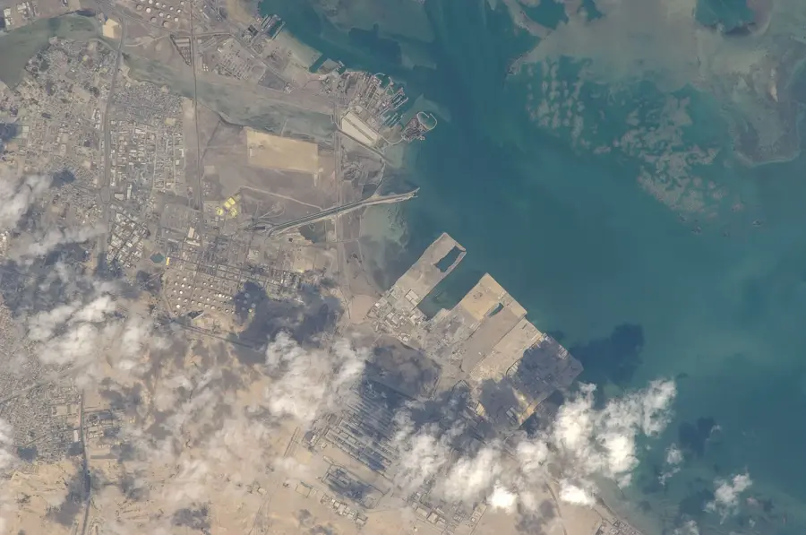
Jazirat al Shajirah is a minor, uninhabited island within the Hawar archipelago, situated in the Gulf of Bahrain near the maritime border with Qatar. Its terrain is characterized by low-lying limestone plateaus and rocky shores, with minimal vegetation capable of surviving the arid, saline environment. Despite its desolation, the island plays a vital role as a sanctuary for regional birdlife, particularly providing a safe nesting ground for large colonies of Socotra cormorants. The surrounding waters are part of a protected marine area, home to extensive seagrass beds that support one of the world's largest populations of dugongs. The isolation of the island, maintained partly due to its strategic location and restricted military access, has preserved its ecological integrity from modern development. While not a tourist destination in the traditional sense, it is a key site for environmental conservation and monitoring within the Gulf, representing the pristine desert-island ecosystem that once dominated the entire archipelago.
- Location: Bahrain
- Nearby: Hawar Islands (13 km)
Best time to visit & climate
The most pleasant time to visit is Feb, Mar, Dec.
| Jan | Feb | Mar | Apr | May | Jun | Jul | Aug | Sep | Oct | Nov | Dec | |
|---|---|---|---|---|---|---|---|---|---|---|---|---|
| Avg °C | 18 | 18 | 21 | 25 | 30 | 33 | 35 | 35 | 34 | 30 | 25 | 20 |
| Rain mm | 7 | 5 | 3 | 4 | 0 | 0 | 0 | 1 | 0 | 1 | 10 | 8 |
📋 Practical info
Geography
Facts
- The island covers 0.3 km².
- It hosts over 40 bird species.
- Mangroves cover 70% of the island area.
- Highest elevation is 2 m above sea level.
- The island is located 2 km south of Al Dur.
- About 500 flamingos visit the island annually.
Explore nearby
Notable places around
Route planner — Car & Motorhome
Where do you start? We build the route here, with stops and country notes along the way.
© OpenStreetMap contributors · OpenRouteService
Sights nearby
Frequently asked questions
What does Jazirat al Shajirah mean?
Are there actually trees there?
Can you visit the island by boat?
Is the island large?
Are there animals there?
Jazirat al Shajirah: where is it located?
Jazirat al Shajirah: when is the best time to visit?
Jazirat al Shajirah: why is it worth visiting?

History & landmarks
Nature


More places
