Plizio Visual Lab
Bu Sa'adah
Weather…
Water temperature…
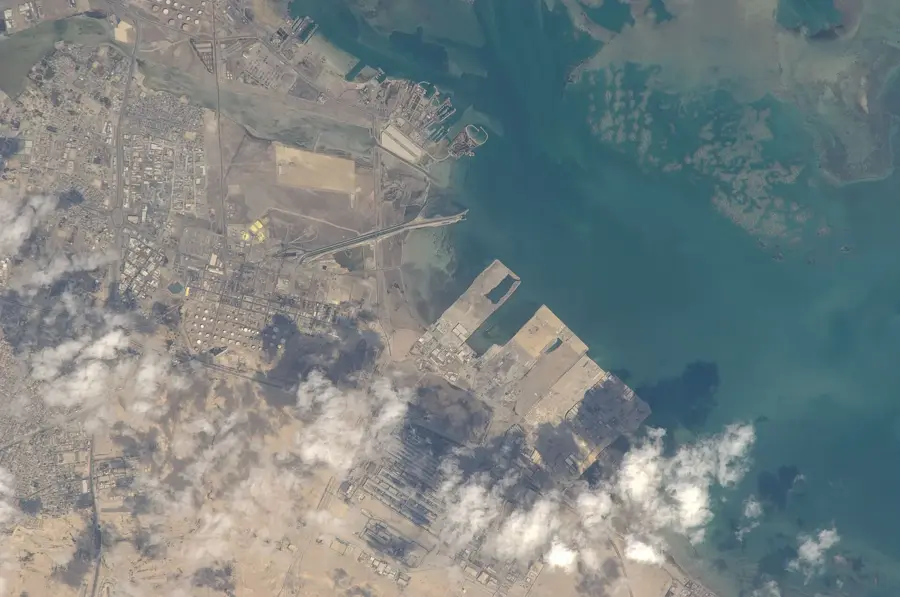
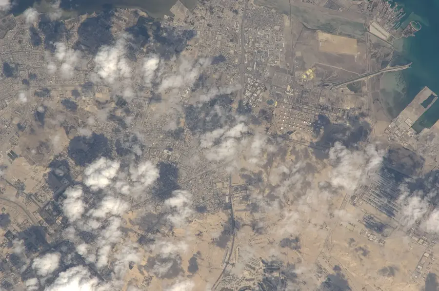
Bu Sa'adah Island is a pristine component of the Hawar archipelago, located in the Gulf of Bahrain and celebrated for its ecological significance. The island's landscape is defined by its rugged limestone shorelines and shallow coastal waters, providing a safe haven for various marine and terrestrial species. Because there is no tourist infrastructure or permanent human presence, the environment remains largely untouched, allowing native flora and fauna to thrive in their natural state. Small reptiles find refuge in the rocky crevices, while the surrounding seagrass meadows serve as vital feeding grounds for the region's marine life. Visitors drawn to this remote location appreciate the absolute silence and the unobstructed views of the horizon, where rare seabirds can often be spotted. It is a place that embodies the raw, original beauty of the Bahraini islands, offering a glimpse into a world governed only by the tides and the cycles of nature.
- Location: Bahrain
- Nearby: Hawar Islands (10 km)
Best time to visit & climate
The most pleasant time to visit is Feb, Mar, Dec.
| Jan | Feb | Mar | Apr | May | Jun | Jul | Aug | Sep | Oct | Nov | Dec | |
|---|---|---|---|---|---|---|---|---|---|---|---|---|
| Avg °C | 18 | 18 | 22 | 26 | 31 | 34 | 36 | 36 | 34 | 30 | 25 | 20 |
| Rain mm | 6 | 5 | 3 | 4 | 0 | 0 | 0 | 0 | 0 | 1 | 9 | 7 |
📋 Practical info
Geography
Facts
- The island covers 0.5 km².
- It is located 10 km from shore.
- About 50 pairs of Dalmatian pelicans breed there.
- Maximum elevation is 3 m above sea level.
- The island is part of the Hawar Archipelago (not officially confirmed).
- Average surrounding water depth is 5 m.
Explore nearby
Notable places around
Route planner — Car & Motorhome
Where do you start? We build the route here, with stops and country notes along the way.
© OpenStreetMap contributors · OpenRouteService
Sights nearby
Frequently asked questions
What is Bu Sa'adah?
Why is the island known?
Is swimming allowed there?
What kind of plants grow there?
Can the island be rented?
Bu Sa'adah: where is it located?
Bu Sa'adah: when is the best time to visit?
Bu Sa'adah: why is it worth visiting?

History & landmarks

Nature


More places
