Plizio Visual Lab
Rubud al-Gharbiyah

Weather…
Water temperature…
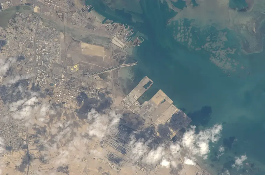
Rubud al-Gharbiyah is one of the smaller, uninhabited islands within the Hawar archipelago, situated to the west of mainland Bahrain. Topographically, the island is characterized by its very low elevation and flat, sandy terrain that barely rises above the Persian Gulf's waters. While it may appear desolate at first glance, it holds immense ecological significance as part of a globally recognized bird sanctuary. The island provides a crucial, undisturbed nesting ground for several migratory species, most notably the Socotra Cormorant, which breeds here in large colonies. The vegetation is sparse, limited to salt-tolerant shrubs and hardy desert plants capable of surviving the intense heat and high salinity. The shallow coastal waters surrounding the island are a haven for marine life, including dugongs and various reef fish. Due to its status as a protected area, human access is strictly controlled to preserve the fragile ecosystem. Rubud al-Gharbiyah stands as a testament to Bahrain's commitment to conservation, serving as a quiet sanctuary where nature remains largely untouched by the rapid industrial development seen elsewhere in the region.
- Location: Bahrain
- Nearby: Hawar Islands (8 km)
Best time to visit & climate
The most pleasant time to visit is Feb, Mar, Dec.
| Jan | Feb | Mar | Apr | May | Jun | Jul | Aug | Sep | Oct | Nov | Dec | |
|---|---|---|---|---|---|---|---|---|---|---|---|---|
| Avg °C | 18 | 18 | 22 | 26 | 31 | 34 | 36 | 36 | 34 | 30 | 25 | 20 |
| Rain mm | 6 | 5 | 3 | 4 | 0 | 0 | 0 | 0 | 0 | 1 | 9 | 7 |
📋 Practical info
Geography
Facts
- Area: 0.12 km²
- Length: 0.35 km
- Max elevation: 2.5 m
- Distance from Rubud al-Sharqiyah: 0.3 km
- Bridled tern nests: approx. 150
- Average wind speed: 20 km/h
Explore nearby
Notable places around
Route planner — Car & Motorhome
Where do you start? We build the route here, with stops and country notes along the way.
© OpenStreetMap contributors · OpenRouteService
Sights nearby
Frequently asked questions
What distinguishes Rubud al-Gharbiyah?
Can you camp here?
Is there shade on the island?
What is the best season for birds?
Are the reefs dangerous for boats?
Rubud al-Gharbiyah: where is it located?
Rubud al-Gharbiyah: when is the best time to visit?
Rubud al-Gharbiyah: why is it worth visiting?

History & landmarks

Nature


More places
