Plizio Visual Lab
Lüner Lake
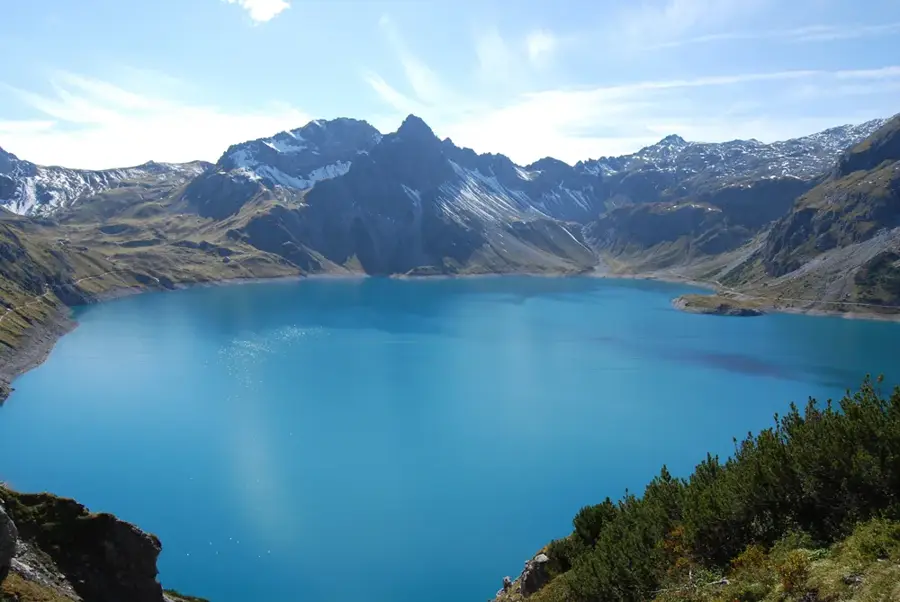
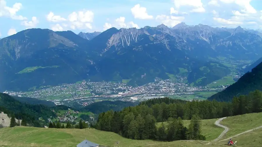
Lünersee is located at the end of the Brandnertal valley in Vorarlberg and is widely regarded as one of the most beautiful alpine lakes. It sits at an elevation of 1,970 meters at the foot of Schesaplana, the highest mountain in the Rätikon range. Originally, Lünersee was one of the largest natural high-alpine lakes in Austria before it was expanded in 1958 by a dam to serve as a reservoir for hydroelectric power generation. The deep blue water of the lake provides a striking contrast to the light-colored limestone cliffs of the Rätikon massif. It serves as a central hub for numerous hiking trails and mountaineering tours, such as the ascent to Schesaplana or the scenic circuit around the lake. Lünersee is easily accessible via the Lünerseebahn cable car, which whisks visitors from the Schattenlagant-Alpe directly to the dam. Ecologically, the lake is a delicate habitat due to its high altitude and water purity, and it is highly valued by anglers for its trout stocks.
- Location: Vorarlberg, Austria
- Top sights: geschützter Landschaftsteil Rellstal und Lünerseegebiet · Schesaplana · Felsenkopf
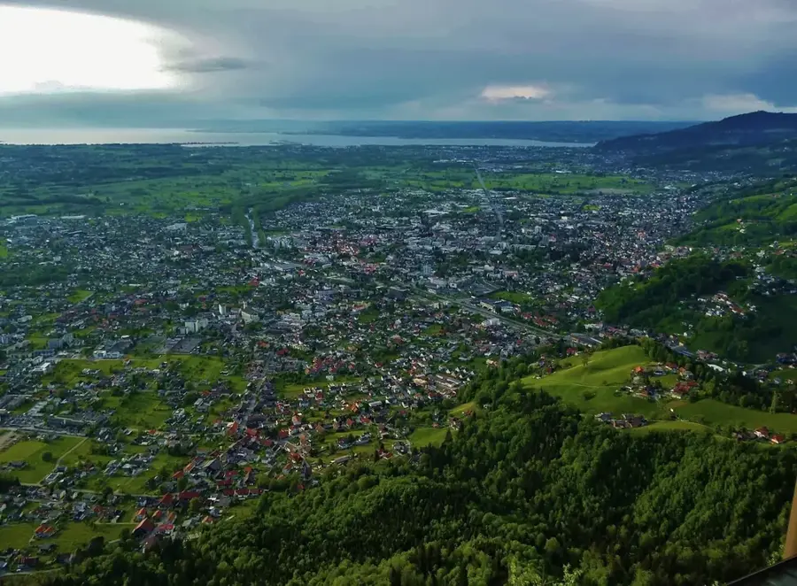
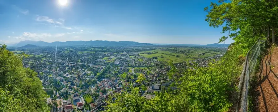
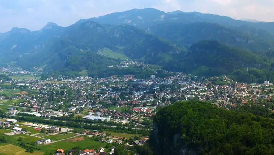
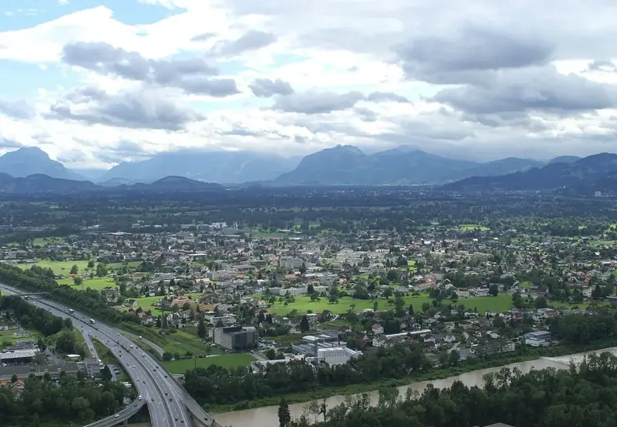
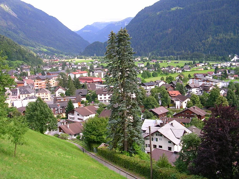
- Nearby: Bludenz (12 km)
Best time to visit & climate
The most pleasant time to visit is Jul–Sep.
| Jan | Feb | Mar | Apr | May | Jun | Jul | Aug | Sep | Oct | Nov | Dec | |
|---|---|---|---|---|---|---|---|---|---|---|---|---|
| Avg °C | -8 | -8 | -4 | 1 | 6 | 10 | 12 | 11 | 7 | 3 | -2 | -7 |
| Rain mm | 93 | 70 | 90 | 88 | 146 | 170 | 167 | 184 | 122 | 101 | 90 | 93 |
📋 Practical info
Geography
Facts
- The lake's surface elevation is 1,970 meters above sea level.
- The reservoir has a maximum storage volume of 78 million cubic meters.
- Schesaplana towers over the lake at an altitude of 2,965 meters.
- The construction of the dam was completed in 1958.
- The Lünerseebahn cable car climbs over 400 meters of elevation in just a few minutes.
- In 2019, Lünersee was voted the most beautiful spot in Austria.
Explore nearby
Notable places around
Route planner — Car & Motorhome
Where do you start? We build the route here, with stops and country notes along the way.
© OpenStreetMap contributors · OpenRouteService
Sights in the town Lüner Lake (4)
Sights nearby
Frequently asked questions
What is the easiest way to get to Lünersee?
Is swimming allowed in the lake?
How long does the loop around the lake take?
Is Lünersee a natural lake?
Are there restaurants directly at the lake?
Lüner Lake: where is it located?
Lüner Lake: what is there to see?
Lüner Lake: when is the best time to visit?
Lüner Lake: why is it worth visiting?

Nearby cities